|
Lake Danao (Leyte)
Lake Danao is a guitar-shaped lake on the island of Leyte in the Philippines. The lake is covering an area of . It is situated in the Lake Danao Natural Park, which also includes the Amandiwin mountain range. The lake is northeast of Ormoc, half an hour drive along the San Pablo -Tongonan and Milagro - Lake Danao roads. It was originally named ''Lake Imelda'' and was declared a national park on June 2, 1972 by virtue of presidential memorandum issued by then President Ferdinand Marcos. Later it was renamed and declared as ''Lake Danao National Park'' on February 3, 1998 through ''Proclamation No. 1155'' and is now protected by ''Republic Act No. 7586'' otherwise known as the ''National Integrated Protected Area System (NIPAS) Act of 1992''. The lake supplies potable water to at least seven towns in Eastern Leyte including Tacloban [...More Info...] [...Related Items...] OR: [Wikipedia] [Google] [Baidu] |
Leyte
Leyte ( ) is an island in the Visayas group of islands in the Philippines. It is eighth-largest and sixth-most populous island in the Philippines, with a total population of 2,626,970 as of 2020 census. Since the accessibility of land has been depleted, Leyte has provided countless number of migrants to Mindanao. Most inhabitants are farmers. Fishing is a supplementary activity. Rice and corn (maize) are the main food crops; cash crops include coconuts, abaca, tobacco, bananas, and sugarcane. There are some manganese deposits, and sandstone and limestone are quarried in the northwest. Politically, the island is divided into two provinces: (Northern) Leyte and Southern Leyte. Territorially, Southern Leyte includes the island of Panaon to its south. To the north of Leyte is the island province of Biliran, a former sub-province of Leyte. The major cities of Leyte are Tacloban, on the eastern shore at the northwest corner of Leyte Gulf, and Ormoc, on the west coast. Leyte tod ... [...More Info...] [...Related Items...] OR: [Wikipedia] [Google] [Baidu] |
Fault (geology)
In geology, a fault is a Fracture (geology), planar fracture or discontinuity in a volume of Rock (geology), rock across which there has been significant displacement as a result of rock-mass movements. Large faults within Earth's crust (geology), crust result from the action of Plate tectonics, plate tectonic forces, with the largest forming the boundaries between the plates, such as the megathrust faults of subduction, subduction zones or transform faults. Energy release associated with rapid movement on active faults is the cause of most earthquakes. Faults may also displace slowly, by aseismic creep. A ''fault plane'' is the Plane (geometry), plane that represents the fracture surface of a fault. A ''fault trace'' or ''fault line'' is a place where the fault can be seen or mapped on the surface. A fault trace is also the line commonly plotted on geological maps to represent a fault. A ''fault zone'' is a cluster of parallel faults. However, the term is also used for the zone ... [...More Info...] [...Related Items...] OR: [Wikipedia] [Google] [Baidu] |
Natural Parks Of The Philippines
Nature is an inherent character or constitution, particularly of the Ecosphere (planetary), ecosphere or the universe as a whole. In this general sense nature refers to the Scientific law, laws, elements and phenomenon, phenomena of the physical world, including life. Although humans are part of nature, human activity or humans as a whole are often described as at times at odds, or outright Anthropocentrism, separate and even superior to nature. During the advent of modern scientific method in the last several centuries, nature became the passive reality, organized and moved by divine laws. With the Industrial Revolution, nature increasingly became seen as the part of reality deprived from intentional intervention: it was hence considered as sacred by some traditions (Jean-Jacques Rousseau, Rousseau, American transcendentalism) or a mere decorum for divine providence or human history (Hegel, Marx). However, a vitalist vision of nature, closer to the pre-Socratic one, got reborn ... [...More Info...] [...Related Items...] OR: [Wikipedia] [Google] [Baidu] |
Lakes Of The Philippines
The origin of many lakes in the Philippines is closely related to volcanic and tectonic activity. A number of smaller lakes occupy the craters of extinct volcanoes. Some lake basins are developed by subsidence due to tectonic or volcanic activity. Others owe their existence to obstruction of drainage courses by landslides, lava flows and by fragmental volcanic ejecta. Among the lakes in the Philippines, three stand out because of their size or economic importance: Laguna de Bay and Taal Lake in Luzon, and Lake Lanao in Mindanao. List The following is a partial list of permanent lakes (''excluding flood plains'') in the Philippines: Gallery Largest and deepest lakes File:LagunaCaldera04.jpg, Laguna de Bay, the largest lake in the Philippines File:Lake Lanao zoom.jpg, Lake Lanao, second largest File:Taal View from Tagaytay 2010.JPG, Taal Lake, third largest File:Lake Mainit Surigao del Norte sunset.JPG, Lake Mainit, fourth largest, and the second deepest File:Cr ... [...More Info...] [...Related Items...] OR: [Wikipedia] [Google] [Baidu] |
OpenStreetMap
OpenStreetMap (abbreviated OSM) is a free, Open Database License, open geographic database, map database updated and maintained by a community of volunteers via open collaboration. Contributors collect data from surveying, surveys, trace from Aerial photography, aerial photo imagery or satellite imagery, and import from other freely licensed geodata sources. OpenStreetMap is Free content, freely licensed under the Open Database License and is commonly used to make electronic maps, inform turn-by-turn navigation, and assist in humanitarian aid and Data and information visualization, data visualisation. OpenStreetMap uses its own data model to store geographical features which can then be exported into other GIS file formats. The OpenStreetMap website itself is an Web mapping, online map, geodata search engine, and editor. OpenStreetMap was created by Steve Coast in response to the Ordnance Survey, the United Kingdom's national mapping agency, failing to release its data to the pub ... [...More Info...] [...Related Items...] OR: [Wikipedia] [Google] [Baidu] |
List Of Protected Areas Of The Philippines
A list is a set of discrete items of information collected and set forth in some format for utility, entertainment, or other purposes. A list may be memorialized in any number of ways, including existing only in the mind of the list-maker, but lists are frequently written down on paper, or maintained electronically. Lists are "most frequently a tool", and "one does not ''read'' but only ''uses'' a list: one looks up the relevant information in it, but usually does not need to deal with it as a whole".Lucie Doležalová,The Potential and Limitations of Studying Lists, in Lucie Doležalová, ed., ''The Charm of a List: From the Sumerians to Computerised Data Processing'' (2009). Purpose It has been observed that, with a few exceptions, "the scholarship on lists remains fragmented". David Wallechinsky, a co-author of '' The Book of Lists'', described the attraction of lists as being "because we live in an era of overstimulation, especially in terms of information, and lists help us ... [...More Info...] [...Related Items...] OR: [Wikipedia] [Google] [Baidu] |
List Of Natural Parks Of The Philippines
In the Philippines, Natural Parks as defined by law are relatively large areas not materially altered by human activity. The extraction of natural resources is not allowed in these areas and they are maintained to protect outstanding natural and scenic areas of national or international significance for scientific, educational, and recreational use. Natural parks See also * List of protected areas of the Philippines * Environment of the Philippines * List of botanical gardens and arboretums in the Philippines References External links Expanded National Integrated Protected Area Systems Act of 2018 – Official Gazette of the Republic of the Philippines {{DEFAULTSORT:National Parks Of Philippines National parks of the Philippines, Lists of national parks, Philippines Philippines geography-related lists Parks in the Philippines Lists of tourist attractions in the Philippines ... [...More Info...] [...Related Items...] OR: [Wikipedia] [Google] [Baidu] |
Illegal Logging
Illegal logging is the harvest, transportation, purchase, or sale of timber in violation of laws. The harvesting procedure itself may be illegal, including using corrupt means to gain access to forests; extraction without permission, or from a protected area; the cutting down of protected species; or the extraction of timber in excess of agreed limits. Illegal logging is a driving force for a number of environmental issues such as deforestation, soil erosion and biodiversity loss which can drive larger-scale environmental crises such as climate change and other forms of environmental degradation. Illegality may also occur during transport, such as illegal processing and export (through smuggling, fraudulent declaration to customs); the tax avoidance, avoidance of taxes and other charges, and fraudulent certification. These acts are often referred to as "wood laundering". Illegal logging is driven by a number of economic forces, such as demand for raw materials, land grabbing and ... [...More Info...] [...Related Items...] OR: [Wikipedia] [Google] [Baidu] |
Slash-and-burn
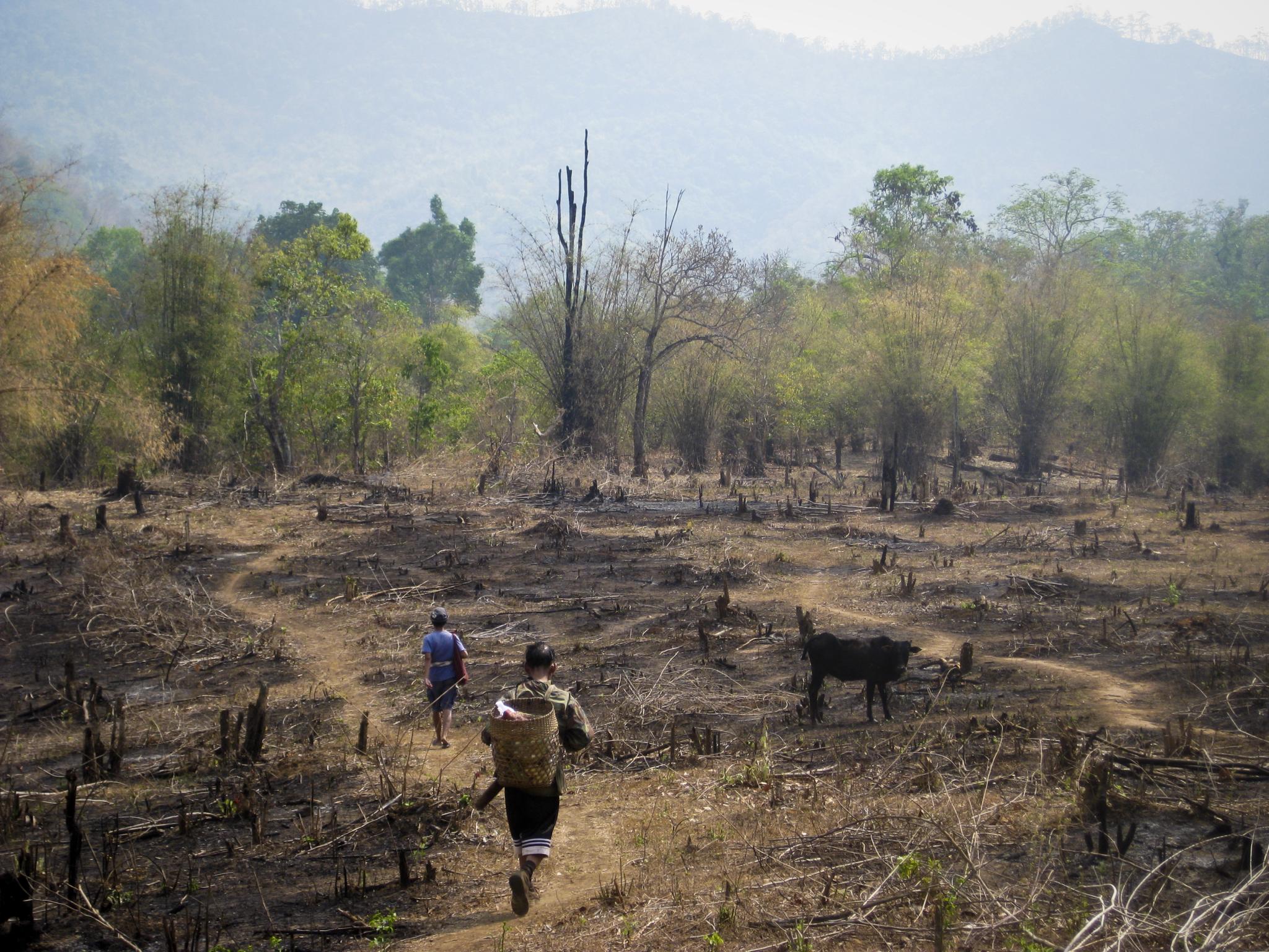
Slash-and-burn agriculture is a form of shifting cultivation that involves the cutting and burning of plants in a forest or woodland to create a Field (agriculture), field called a swidden. The method begins by cutting down the trees and woody plants in an area. The downed vegetation, or "slash", is then left to dry, usually right before the rainiest part of the year. Then, the Biomass (ecology), biomass is burned, resulting in a nutrient-rich layer of ash which makes the Soil fertility, soil fertile, as well as temporarily eliminating weed and pest species. After about three to five years, the plot's productivity decreases due to depletion of nutrients along with weed and pest invasion, causing the farmers to abandon the field and move to a new area. The time it takes for a swidden to recover depends on the location and can be as little as five years to more than twenty years, after which the plot can be slashed and burned again, repeating the cycle. In Bangladesh and India, the ... [...More Info...] [...Related Items...] OR: [Wikipedia] [Google] [Baidu] |
Hornbills
Hornbills are birds found in tropical and subtropical Africa, Asia and Melanesia of the family Bucerotidae. They are characterized by a long, down-curved bill which is frequently brightly coloured and sometimes has a horny casque on the upper mandible. Hornbills have a two-lobed kidney. They are the only birds in which the first and second neck vertebrae (the atlas and axis respectively) are fused together; this probably provides a more stable platform for carrying the bill. The family is omnivorous, feeding on fruit and small animals. They are monogamous breeders nesting in natural cavities in trees and sometimes cliffs. A number of mainly insular species of hornbill with small ranges are threatened with extinction, mainly in Southeast Asia. In the Neotropical realm, toucans occupy the hornbills' ecological niche, an example of convergent evolution. Despite their close appearances, the two groups are not very closely related, with toucans being allied with the woodpeckers, ... [...More Info...] [...Related Items...] OR: [Wikipedia] [Google] [Baidu] |
Miocene
The Miocene ( ) is the first epoch (geology), geological epoch of the Neogene Period and extends from about (Ma). The Miocene was named by Scottish geologist Charles Lyell; the name comes from the Greek words (', "less") and (', "new") and means "less recent" because it has 18% fewer modern marine invertebrates than the Pliocene has. The Miocene followed the Oligocene and preceded the Pliocene. As Earth went from the Oligocene through the Miocene and into the Pliocene, the climate slowly cooled towards a series of ice ages. The Miocene boundaries are not marked by distinct global events but by regionally defined transitions from the warmer Oligocene to the cooler Pliocene Epoch. During the Early Miocene, Afro-Arabia collided with Eurasia, severing the connection between the Mediterranean and Indian Oceans, and allowing the interchange of fauna between Eurasia and Africa, including the dispersal of proboscideans and Ape, hominoids into Eurasia. During the late Miocene, the conn ... [...More Info...] [...Related Items...] OR: [Wikipedia] [Google] [Baidu] |


