|
Lake Cochichewick
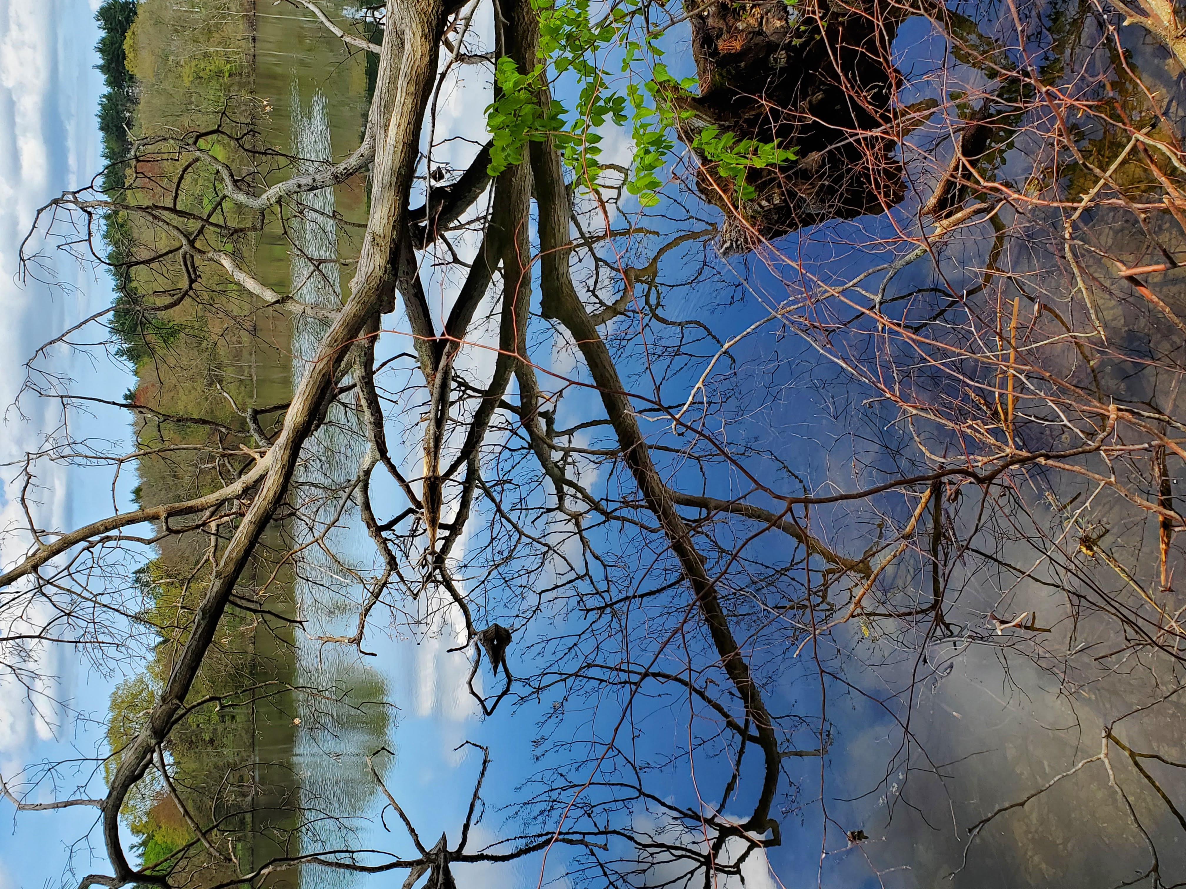
Lake Cochichewick is a lake in North Andover, Massachusetts that collects water from Weir Hill and other local uplands. Its overflow drains into the Cochichewick River, which joins the Merrimack. Brooks School, a private co-educational prep school, is located on the shores of the lake. Etymology The name for Lake Cochichewick reportedly comes from the Pennacook word for "dashing stream" or "place of the great cascade" and during the early years of Andover it was called "The Great Pond". Public access restrictions For the past century, Lake Cochichewick has been North Andover's main supply of drinking water and public access to the lake was forbidden. In May 2002, however, the town began issuing boating permits: Certain watercraft are allowed and must be designed to be manually propelled, by oars or paddles. Rowing shells, johnboats, dinghies, rowboats, canoes and kayaks are acceptable as long as the occupants are isolated from contact with the lake. Boats must not have an ... [...More Info...] [...Related Items...] OR: [Wikipedia] [Google] [Baidu] |
North Andover, Massachusetts
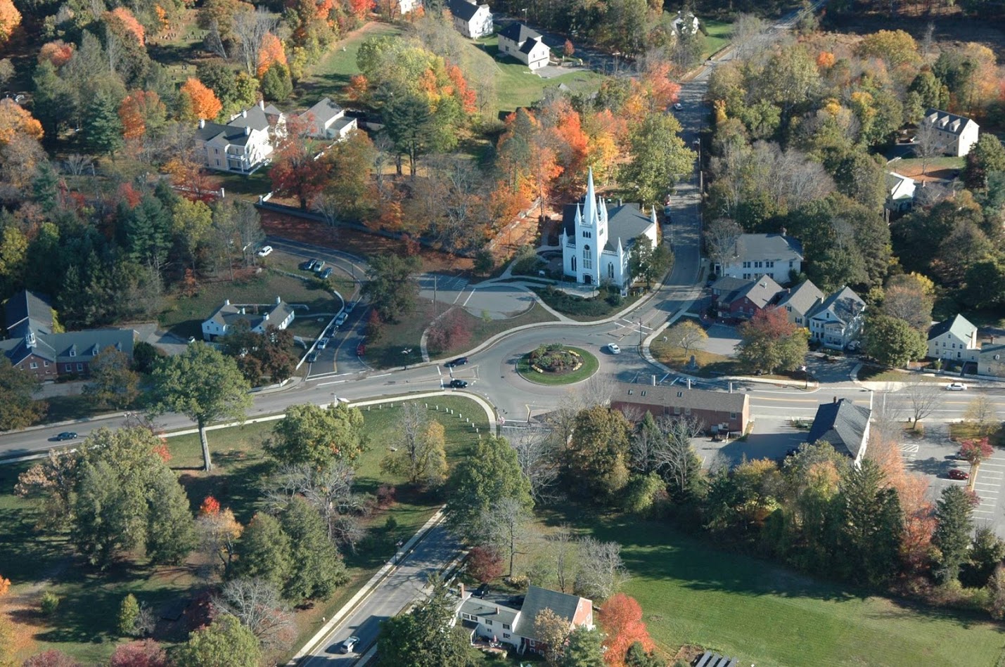
North Andover is an affluent town in Essex County, Massachusetts, United States. At the 2020 census the population was 30,915. History Native Americans inhabited what is now northeastern Massachusetts for thousands of years prior to European colonization of the Americas. At the time of European arrival, Massachusett and Naumkeag people inhabited the area south of the Merrimack River and Pennacooks inhabited the area to the north. The Massachusett referred to the area that would later become North Andover as ''Cochichawick''. The lands south of the Merrimack River around Lake Cochichewick and the Shawsheen River were set aside by the Massachusetts General Court in 1634 for the purpose of creating an inland plantation. The Cochichewick Plantation, as it was called, was purchased on May 6, 1646 when Reverend John Woodbridge, who had settled the land for the English, paid Massachusett sachem Cutshamekin six pounds and a coat for the lands. The plantation was then incorpor ... [...More Info...] [...Related Items...] OR: [Wikipedia] [Google] [Baidu] |
Weir Hill
Weir Hill Reservation (historically pronounced “wire hill”) is a public park located in the town of North Andover, Massachusetts. The Trustees of Reservations owns and maintains the property. History Prior to European settlement of the area, the Weir Hill area was used by Algonquian peoples. A 1968 archaeological survey identified a campsite at the southeast end of the reservation. It is likely that Native Americans periodically set fire to the hill to improve the landscape for deer hunting and used fishing weirs to catch alewives in Cochichewick Brook before they reached Lake Cochichewick to spawn. The reservation takes its name from these weirs. In the mid 17th century, early settlers cleared the slopes of Weir Hill for grazing sheep and cattle. In the 18th and 19th centuries, milldams were built along Cochichewick Brook to lumber- and gristmills. Modern use and conservation Rising gently above Lake Cochichewick, Weir Hill offers hiking trails that pass over the crest ... [...More Info...] [...Related Items...] OR: [Wikipedia] [Google] [Baidu] |
Cochichewick River
The Cochichewick River, also known as Cochichewick Brook, is a U.S. Geological Survey. National Hydrography Dataset high-resolution flowline dataThe National Map, accessed October 3, 2011 stream in North Andover, Massachusetts, that drains water from Lake Cochichewick into the Merrimack River. Early history The river's first European record dates from March 4, 1634-5, when "It is ordered that the land aboute Cochichowicke, shall be reserved for an inland plantacon, & that whosoever will goe to inhabite there, shall have three yeares immunity from all taxes, levyes, publique charges & services whatsoever, (military dissipline onely excepted), etc." The Massachusetts Colony Records later note the sale of land thereabouts to the English: At a general Court at Boston 6th of 3d month, 1646, Cutshamache, Sagamore of Massachusetts, came into the court and acknowledged that, for the sum of L6 and a coat which he had already received, he had sold to Mr. John Woodbridge, in behalf of the ... [...More Info...] [...Related Items...] OR: [Wikipedia] [Google] [Baidu] |
Merrimack River
The Merrimack River (or Merrimac River, an occasional earlier spelling) is a river in the northeastern United States. It rises at the confluence of the Pemigewasset and Winnipesaukee rivers in Franklin, New Hampshire, flows southward into Massachusetts, and then flows northeast until it empties into the Gulf of Maine at Newburyport. From Pawtucket Falls in Lowell, Massachusetts, onward, the Massachusetts–New Hampshire border is roughly calculated as the line three miles north of the river. The Merrimack is an important regional focus in both New Hampshire and Massachusetts. The central-southern part of New Hampshire and most of northeast Massachusetts is known as the Merrimack Valley. Several U.S. naval ships have been named and USS ''Merrimac'' in honor of this river. The river is perhaps best known for the early American literary classic ''A Week on the Concord and Merrimack Rivers'' by Henry David Thoreau. Etymology and spelling The etymology of the name of th ... [...More Info...] [...Related Items...] OR: [Wikipedia] [Google] [Baidu] |
Pennacook
The Pennacook, also known by the names Penacook and Pennacock, were an Algonquian-speaking Indigenous peoples of the Northeastern Woodlands who lived in Massachusetts, New Hampshire, and southern Maine. They were not a united tribe but a network of politically and culturally allied communities. Penacook was also the name of a specific Native village in what is now Concord, New Hampshire. The Pennacook were related to but not a part of the original Wabanaki Confederacy, which includes the Miꞌkmaq, Maliseet, Passamaquoddy, and Penobscot peoples. David Stewart-Smith argues that the Penacook are Central Abenaki people. Name Pennacook is also written as Penacook and Pennacock. The name ''Pennacook'' roughly translates (based on Abenaki cognates) as "at the bottom of the hill." Territory Their southern neighbors were the Massachusett and Wampanoag to the south. Pennacook territory bordered the Connecticut River in the West, Lake Winnipesauke in the north, the Piscataqua ... [...More Info...] [...Related Items...] OR: [Wikipedia] [Google] [Baidu] |
Merrimack Valley
The Merrimack Valley is a bi-state region along the Merrimack River in the U.S. states of New Hampshire and Massachusetts. The Merrimack is one of the larger waterways in New England and has helped to define the livelihood and culture of those living along it for millennia. Major cities in the Merrimack Valley include Concord, Manchester, and Nashua in New Hampshire, and Lowell, Lawrence, and Haverhill in Massachusetts. The Valley was a major center of the textile industry in the 19th century. Geography and demographics Massachusetts The Merrimack Valley area in Massachusetts is a community of towns and cities flanking the Merrimack River along the New Hampshire border, a portion of which is defined by a line approximately north and west of the Merrimack. The cities (marked with ''italics'') and towns in this area are: *''Amesbury'' * Andover * Billerica * Boxford *Chelmsford *Dracut *Dunstable * Georgetown * Groveland *'' Haverhill'' *'' Lawrence'' * Littleton'' ... [...More Info...] [...Related Items...] OR: [Wikipedia] [Google] [Baidu] |
Lakes Of Essex County, Massachusetts
A lake is an area filled with water, localized in a basin, surrounded by land, and distinct from any river or other outlet that serves to feed or drain the lake. Lakes lie on land and are not part of the ocean, although, like the much larger oceans, they do form part of the Earth's water cycle. Lakes are distinct from lagoons, which are generally coastal parts of the ocean. Lakes are typically larger and deeper than ponds, which also lie on land, though there are no official or scientific definitions. Lakes can be contrasted with rivers or streams, which usually flow in a channel on land. Most lakes are fed and drained by rivers and streams. Natural lakes are generally found in mountainous areas, rift zones, and areas with ongoing glaciation. Other lakes are found in endorheic basins or along the courses of mature rivers, where a river channel has widened into a basin. Some parts of the world have many lakes formed by the chaotic drainage patterns left over from the last ice ... [...More Info...] [...Related Items...] OR: [Wikipedia] [Google] [Baidu] |


