|
Lai Pik Shan
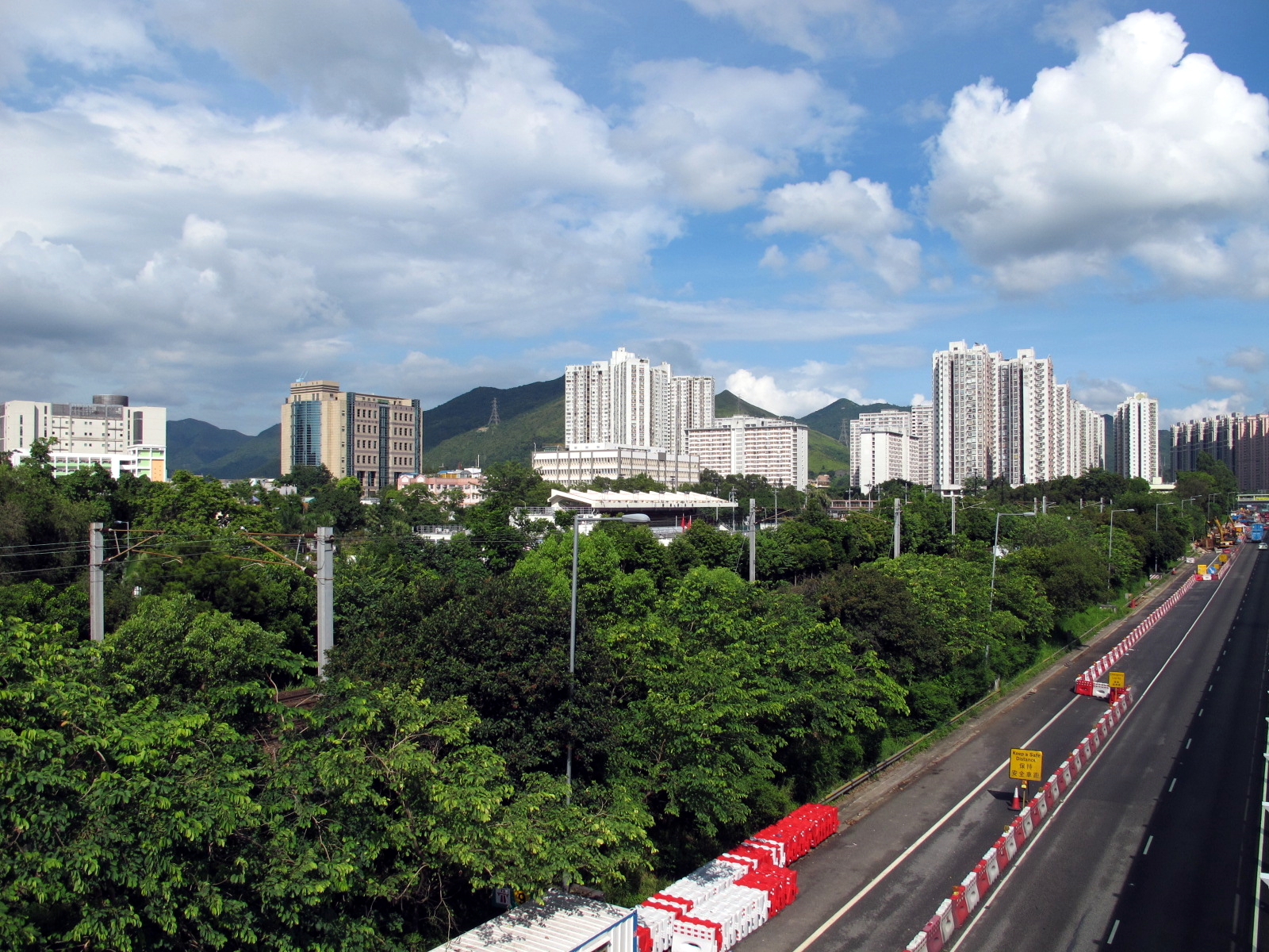
Lai Pek Shan () is a 540 high mountain in Hong Kong, located west of the Pat Sin Leng range. The summit of Lai Pek Shan is located at the boundary between Tai Po District and North District. Village A former village, also called Lai Pek Shan or Lai Pik Shan, was located on the southern hillside of the mountain, and has been levelled. A new village, Lai Pek Shan San Tsuen (), was built at the foot of the hill. Shan Liu (including Lai Pek Shan and Lai Pek Shan San Tsuen) is a recognized village under the New Territories Small House Policy. Historically, Ting Kok, together with the nearby Hakka villages of Shan Liu, Lai Pik Shan, Lo Tsz Tin, Lung Mei and Tai Mei Tuk belonged to the Ting Kok Yeuk () alliance. Access Stage 9 of the Wilson Trail The Wilson Trail () is a long-distance footpath in Hong Kong, 63 km of which runs through Hong Kong country parks. [...More Info...] [...Related Items...] OR: [Wikipedia] [Google] [Baidu] |
Pat Sin Leng
Pat Sin Leng () is a mountain range in the northeast New Territories of Hong Kong, located within the Pat Sin Leng Country Park. The name ''Pat Sin Leng'' literally means "Ridge of the Eight Immortals", who are eight well-known ''Xian (Taoism), xian'' ("Immortals; Transcendents; Fairies") in Chinese mythology. The eight peaks along the Pat Sin Leng mountain range are each named after a different Immortal. Mountain peaks There are eight peaks whose elevation range from 489m to 590m. From west to east, they are: Shun Yeung Fung Shun Yeung Fung () is the sixteenth highest peak in Hong Kong with an elevation of 590m, located in north Tai Po of New Territories. It is also the westernmost and highest peak of the Pat Sing Leng mountain range. The peak is named after the leader of Eight Immortals, Lü Dongbin ()'s secular name Chunyang Zi (). Chung Li Fung Chung Li Fung () is a mountain peak, part of the Pat Sin Leng range with an elevation of 529m. The peak is named after one of th ... [...More Info...] [...Related Items...] OR: [Wikipedia] [Google] [Baidu] |
Tai Po District
Tai Po District is one of the 18 districts of Hong Kong. The suburban district covers the areas of Tai Po New Town (including areas such as Tai Po Market, , Tai Po Industrial Estate, Tai Wo Estate), Tai Po Tau, Tai Po Kau, Hong Lok Yuen, Ting Kok, Plover Cove, Lam Tsuen Valley, Tai Mei Tuk and other surrounding areas, and its exclaves Sai Kung North, in the northern part of the Sai Kung Peninsula and including islands such as Grass Island (Tap Mun), and Ping Chau (Tung Ping Chau). Tai Po proper and Sai Kung North are divided by the Tolo Channel and the Tolo Harbour (Tai Po Hoi). The district is located in the Eastern New Territories. The ''de facto'' administrative centre of the district is Tai Po New Town. Like Yuen Long, the area of Tai Po used to be a traditional market town. Tai Po New Town, a satellite town, developed around the area of Tai Po and on reclaimed land on the estuaries of Lam Tsuen and Tai Po rivers. It had a population of 310,879 in 200 ... [...More Info...] [...Related Items...] OR: [Wikipedia] [Google] [Baidu] |
North District, Hong Kong
North District () is the northernmost district of the districts of Hong Kong, 18 districts of Hong Kong. It is located in the northeastern part of the New Territories. The new town of Fanling–Sheung Shui New Town, Fanling–Sheung Shui is within this district. It had a population of 298,657 in 2001. The district has the second lowest population density in Hong Kong. It borders with Shenzhen city with the Sham Chun River. Most major access points to mainland China from Hong Kong lie in this district. The North District is about in area. Demographics According to statistics, 70% of the district population lives in the Public housing, public estates in the Fanling–Sheung Shui New Town. 40,000 villagers living around the two town centres and the main rural towns (Sha Tau Kok and Ta Kwu Ling) account for most residents in the district. Islands of the district * A Chau () * Ap Chau Mei Pak Tun Pai () * Ap Chau Pak Tun Pai () * Ap Chau (, Robinson Island) * Ap Lo Chun () * Ap ... [...More Info...] [...Related Items...] OR: [Wikipedia] [Google] [Baidu] |
Lai Pek Shan San Tsuen
Lai Pek Shan San Tsuen () is a village in Tai Po District, Hong Kong. Administration Lai Pek Shan San Tsuen is one of the villages represented within the Tai Po Rural Committee. For electoral purposes, Lai Pek Shan San Tsuen is part of the Shuen Wan (constituency), Shuen Wan constituency, which was formerly represented by So Tat-leung until October 2021. Shan Liu (Tai Po District), Shan Liu (including Lai Pek Shan and Lai Pek Shan San Tsuen) is a recognized village under the New Territories Small House Policy. See also * Lai Pek Shan, a nearby hill and also the name of a former village References External links Delineation of area of existing village Lai Pek Shan (Tai Po) for election of resident representative (2019 to 2022) Villages in Tai Po District, Hong Kong {{TaiPo-geo-stub ... [...More Info...] [...Related Items...] OR: [Wikipedia] [Google] [Baidu] |


