|
L.L. Tisdale Parkway
The L.L. Tisdale Parkway is a freeway that runs through northwest Tulsa. The highway is named in honor of local Tulsa pastor, Rev. L.L. Tisdale. The parkway was originally known as the Osage Expressway, as part of a cancelled freeway project to Pawhuska, the capitol of the Osage Nation. Route description The expressway begins as a limited access highway at an interchange with I-244/US 64/US 75/US 412 just outside Downtown Tulsa. The freeway runs north weaving into Osage County before returning to Tulsa County in Tulsa. The expressway becomes a surface street just north of the Gilcrease Expressway before ending at West 36th Street North in Northern Tulsa. It is the Osage Nation's only expressway. History Plans for the expressway were almost abandoned in 1983 by the Oklahoma Department of Transportation due to lack of funding and other roads needing the funds. The highway was later funded entirely by the residents of Tulsa. Construction began on the Osage Expressway in 1986 and ... [...More Info...] [...Related Items...] OR: [Wikipedia] [Google] [Baidu] |
Tulsa, Oklahoma
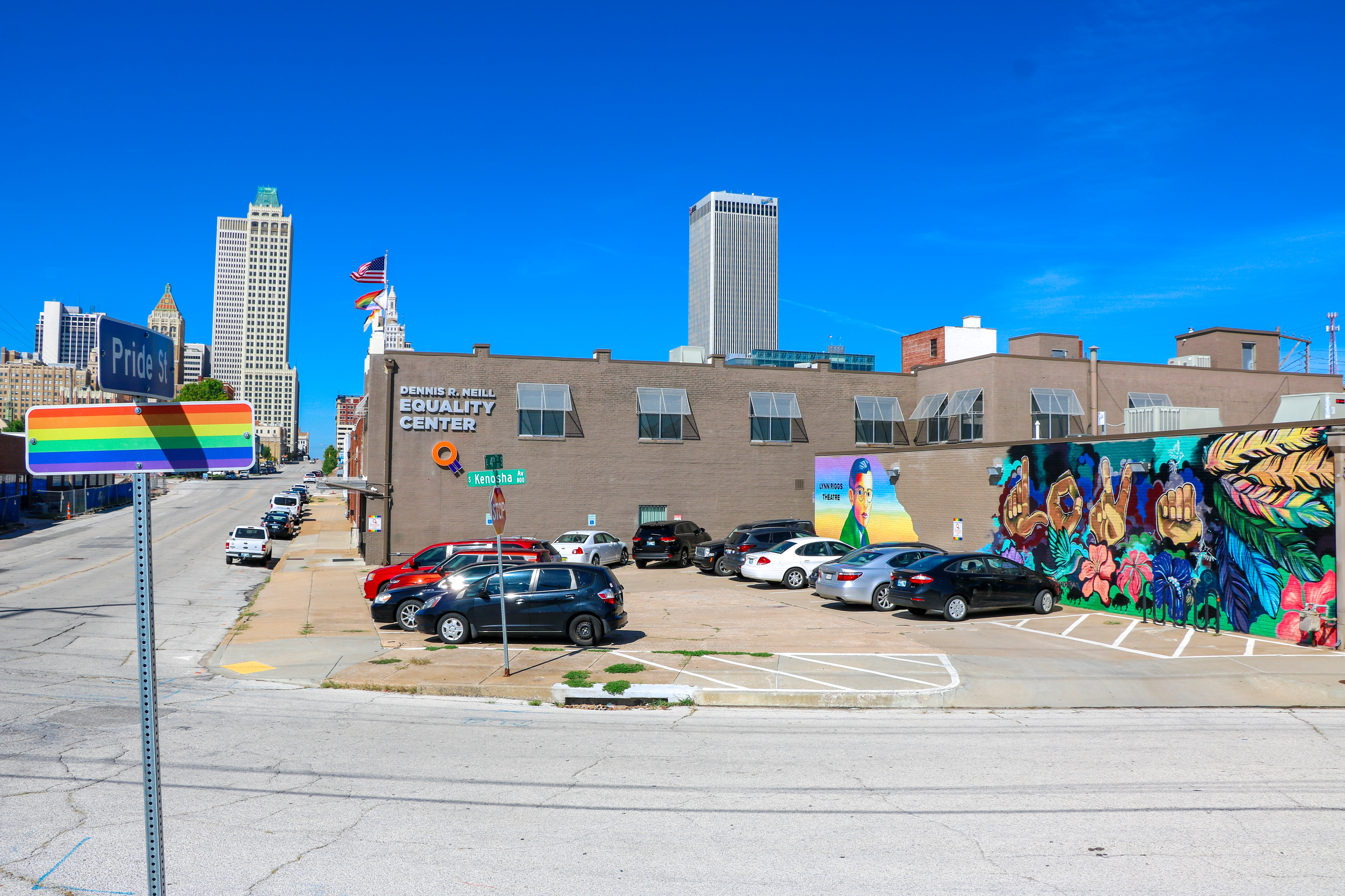
Tulsa () is the second-largest city in the U.S. state, state of Oklahoma and List of United States cities by population, 47th-most populous city in the United States. The population was 413,066 as of the 2020 United States census, 2020 census. It is the principal municipality of the Tulsa Metropolitan Area, a region with 1,023,988 residents. The city serves as the county seat of Tulsa County, Oklahoma, Tulsa County, the most densely populated county in Oklahoma, with urban development extending into Osage County, Oklahoma, Osage, Rogers County, Oklahoma, Rogers, and Wagoner County, Oklahoma, Wagoner counties. Tulsa was settled between 1828 and 1836 by the Lochapoka Band of Creek people, Creek Native American tribe and most of Tulsa is still part of the territory of the Muscogee (Creek) Nation. Historically, a robust energy sector fueled Tulsa's economy; however, today the city has diversified and leading sectors include finance, aviation, telecommunications and technology. Two ... [...More Info...] [...Related Items...] OR: [Wikipedia] [Google] [Baidu] |
Gilcrease Expressway
The Gilcrease Expressway is a highway in Tulsa County, Oklahoma, United States. It is part of the county's long-term plan to complete an outer highway loop around Tulsa's central business district. The highway will connect Interstate 44 (I-44) in West Tulsa to I-244 near the Tulsa International Airport. Route description Currently, the portion of freeway open to traffic is the section between North 41st West Avenue and Interstate 244. From US-75 to I-244/ US-412, the Gilcrease carries the easternmost part of State Highway 11. The currently existing freeway serves Tulsa International Airport and surrounding areas. Additionally, the Gilcrease Expressway Extension has been constructed. It is a stretch of two-lane road signed as State Highway 344. The extension currently runs from W. 51st St. to W. 41st St. South at the 5600 block in West Tulsa. The Extension connects the community of Berryhill and the newer developments along W. 41st St. South to Interstate 44. Future Th ... [...More Info...] [...Related Items...] OR: [Wikipedia] [Google] [Baidu] |
Tulsa County, Oklahoma
Tulsa County is located in the U.S. state of Oklahoma. As of the 2020 census, the population was 669,279, making it the second-most populous county in Oklahoma, behind only Oklahoma County. Its county seat and largest city is Tulsa, the second-largest city in the state. Founded at statehood, in 1907, it was named after the previously established city of Tulsa. Before statehood, the area was part of both the Creek Nation and the Cooweescoowee District of Cherokee Nation in Indian Territory. Tulsa County is included in the Tulsa Metropolitan Statistical Area. Tulsa County is notable for being the most densely populated county in the state. Tulsa County also ranks as having the highest income. History The history of Tulsa County greatly overlaps the history of the city of Tulsa. This section addresses events that largely occurred outside the present city limits of Tulsa. Lasley Vore Site The Lasley Vore Site, along the Arkansas River south of Tulsa, was claimed by Universit ... [...More Info...] [...Related Items...] OR: [Wikipedia] [Google] [Baidu] |
Osage County, Oklahoma
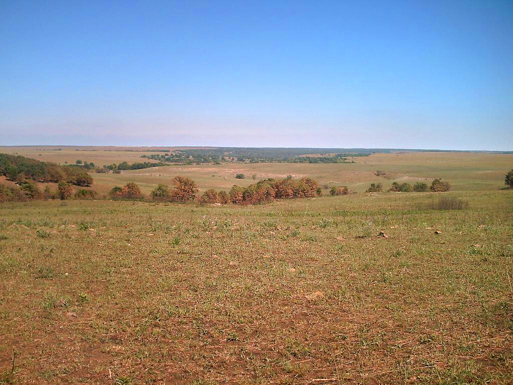
Osage County is the largest county by area in the U.S. state of Oklahoma. Created in 1907 when Oklahoma was admitted as a state, the county is named for and is home to the federally recognized Osage Nation. The county is coextensive with the Osage Nation Reservation, established by treaty in the 19th century when the Osage relocated there from Kansas. The county seat is in Pawhuska, one of the first three towns established in the county. The total population of the county is 47,987. History During the 17th century, the Osage and other Dhegihan Siouan tribes were displaced westward from the Ohio Country following the Beaver Wars. The Osage became established as a powerful nation in the areas of present-day Missouri and Arkansas between the Missouri and Red rivers, as well as extending to the west. By 1760, they had increased their range to include the present Osage County. Historically one of the most powerful Great Plains tribes, their numbers were reduced by infectious d ... [...More Info...] [...Related Items...] OR: [Wikipedia] [Google] [Baidu] |
Freeway
A controlled-access highway is a type of highway that has been designed for high-speed vehicular traffic, with all traffic flow—ingress and egress—regulated. Common English terms are freeway, motorway and expressway. Other similar terms include ''throughway'' and ''parkway''. Some of these may be limited-access highways, although this term can also refer to a class of highways with somewhat less isolation from other traffic. In countries following the Vienna convention, the motorway qualification implies that walking and parking are forbidden. A fully controlled-access highway provides an unhindered flow of traffic, with no traffic signals, intersections or property access. They are free of any at-grade crossings with other roads, railways, or pedestrian paths, which are instead carried by overpasses and underpasses. Entrances and exits to the highway are provided at interchanges by slip roads (ramps), which allow for speed changes between the highway and arteria ... [...More Info...] [...Related Items...] OR: [Wikipedia] [Google] [Baidu] |
Pawhuska, Oklahoma
Pawhuska ( osa, 𐓄𐓘𐓢𐓶𐓮𐓤𐓘 / hpahúska, ''meaning: "White Hair"'', iow, Paháhga) is a city in and the county seat of Osage County, Oklahoma, United States. It was named after the 19th-century Osage chief, ''Paw-Hiu-Skah'', which means "White Hair" in English.Jon D. May, "Pawhuska." ''Encyclopedia of Oklahoma History and Culture.'' Accessed 30 Jan 2010 The Osage tribal government, which opened offices in Pawhuska in 1872 when its reservation was established in , continues to be based in Pawhuska. ... [...More Info...] [...Related Items...] OR: [Wikipedia] [Google] [Baidu] |
Osage Nation
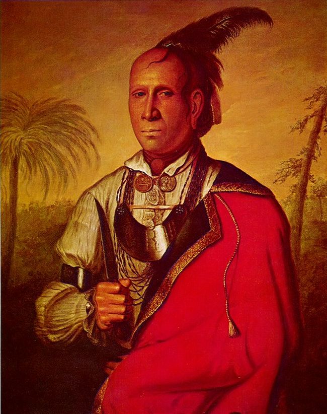
The Osage Nation ( ) ( Osage: 𐓁𐒻 𐓂𐒼𐒰𐓇𐒼𐒰͘ ('), "People of the Middle Waters") is a Midwestern Native American tribe of the Great Plains. The tribe developed in the Ohio and Mississippi river valleys around 700 BC along with other groups of its language family. They migrated west after the 17th century, settling near the confluence of the Missouri and Mississippi rivers, as a result of Iroquois invading the Ohio Valley in a search for new hunting grounds. The term "Osage" is a French version of the tribe's name, which can be roughly translated as "calm water". The Osage people refer to themselves in their indigenous Dhegihan Siouan language as 𐓏𐒰𐓓𐒰𐓓𐒷 ('), or "Mid-waters". By the early 19th century, the Osage had become the dominant power in the region, feared by neighboring tribes. The tribe controlled the area between the Missouri and Red rivers, the Ozarks to the east and the foothills of the Wichita Mountains to the south. Th ... [...More Info...] [...Related Items...] OR: [Wikipedia] [Google] [Baidu] |
Interstate 244
Interstate 244 (I-244), also known as the Martin Luther King Jr. Memorial Expressway (in honor of Martin Luther King Jr.) since 1984, the Crosstown Expressway, and the Red Fork Expressway, is a east–west Interstate Highway bypass route of I-44 in Tulsa, Oklahoma. At both I-244's western and eastern terminus, the highway connects with I-44. I-244 runs from the western bank of the Arkansas River, across the river and past downtown Tulsa, before running through the northern half of the city and connecting again with I-44. In downtown Tulsa, I-244 forms the northern and western legs of the "Inner Dispersal Loop". The southern and eastern legs are formed by the unsigned I-444 (signed as U.S. Highway 75 (US-75)). Route description I-244 begins at a stack interchange with I-44 (which is concurrent with State Highway 66 (SH-66) at this point) and a short segment of the Gilcrease Expressway that is disconnected from the rest of that highway. I-244 continues north ... [...More Info...] [...Related Items...] OR: [Wikipedia] [Google] [Baidu] |
Downtown Tulsa
Downtown Tulsa is an area of approximately surrounded by an inner-dispersal loop created by Interstate 244, US 64, and US 75. The area serves as Tulsa's financial and business district, and is the focus of a large initiative to draw tourism, which includes plans to capitalize on the area's historic architecture. Much of Tulsa's convention space is located in downtown, such as the Tulsa Performing Arts Center and the Tulsa Convention Center, and the BOK Center. Prominent downtown sub-districts include the Blue Dome District, the Tulsa Arts District, and the Greenwood Historical District, which includes the site of ONEOK Field, a baseball stadium for the Tulsa Drillers opened in 2010. In 2010, the estimated population of downtown is 4,000. The daytime population is estimated to be 36,000. Downtown districts Tulsa includes many structures built during the Oil Boom in the 1920s and 1930s, including Art Deco buildings such as the Mid-Continent Tower, Boston Avenue Methodist Ch ... [...More Info...] [...Related Items...] OR: [Wikipedia] [Google] [Baidu] |
Oklahoma Department Of Transportation
The Oklahoma Department of Transportation (ODOT) is an agency of the government of Oklahoma responsible for the construction and maintenance of the state's transportation infrastructure. Under the leadership of the Oklahoma secretary of transportation and ODOT executive director, the department maintains public infrastructure that includes highways and state-owned railroads and administers programs for county roads, city streets, public transit, passenger rail, waterways and active transportation. Along with the Oklahoma Turnpike Authority, the department is the primary infrastructure construction and maintenance agency of the State.Okla. Stat. tit. 47, § 2-106.2A ODOT is overseen by the Oklahoma Transportation Commission, composed of nine members appointed by the governor of Oklahoma, Oklahoma Senate and Oklahoma House of Representatives. Tim Gatz, a professional landscape architect with a bachelor's degree in landscape architecture, serves as the secretary of transportation ... [...More Info...] [...Related Items...] OR: [Wikipedia] [Google] [Baidu] |
Cimarron Turnpike
The Cimarron Turnpike is a toll road in north-central Oklahoma. The route travels , from an interchange with Interstate 35 (I-35) north of Perry, to Westport, just west of Tulsa. The route also consists of a spur which runs from the mainline southwest to an interchange with U.S. Route 177 (US-177) north of Stillwater. The entirety of the Cimarron Turnpike is concurrent with US-412 except for the Stillwater spur. At either end of the Turnpike, US-412 begins (or ends, depending on direction) a concurrency with US-64. The Cimarron Turnpike opened to traffic in 1975. The US-412 designation was applied to the Cimarron Turnpike in 1988. Route description The Cimarron Turnpike, carrying US-412, passes through Noble, Payne, and Pawnee Counties. The highway heads east from I-35 to its first interchange, Exit 3, which provides access to US-77. The first mainline toll plaza is just west of Exit 15, a cloverleaf interchange with no straight-line ramps (forcing all traf ... [...More Info...] [...Related Items...] OR: [Wikipedia] [Google] [Baidu] |
Gilcrease Museum
Gilcrease Museum, also known as the Thomas Gilcrease Institute of American History and Art, is a museum northwest of downtown Tulsa, Oklahoma housing the world's largest, most comprehensive collection of art of the American West, as well as a growing collection of art and artifacts from Central and South America. The museum is named for Thomas Gilcrease, an oil man and avid art collector, who began the collection. He deeded the collection, as well as the building and property, to the City of Tulsa in 1958. Since July 1, 2008, Gilcrease Museum has been managed by a public-private partnership of the City of Tulsa and the University of Tulsa. The Helmerich Center for American Research at Gilcrease Museum was added in 2014 at a cost of $14 million to provide a secure archival area where researchers can access any of the more than 100,000 books, documents, maps and unpublished materials that have been acquired by the museum. History Thomas Gilcrease grew up in the Muscogee (Creek ... [...More Info...] [...Related Items...] OR: [Wikipedia] [Google] [Baidu] |


