|
Koktas (Karaganda Region)
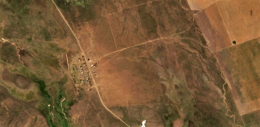
Koktas () is a selo in the Karkaraly District of the Karaganda Region in Kazakhstan. It is the administrative centre of the Karshigalinskiy Village District. Located on the River Zharly and approximately 36 km north-west of the district centre, the city of Karkaraly Karkaraly (, ''Qarqaraly'') (, ''Karkaralinsk''), also known as Karkaralinsk, is the capital of the Karkaraly District in the Karaganda Region of Kazakhstan. Permanent settlement in the area began as a Cossack settlement, which evolved into a .... Population In the year 1999, the total population of the selo was 1655 people (824 men and 831 women). According to the 2009 census, the total population was 1480 people (743 men and 737 women). References Populated places in Karaganda Region {{KaragandaRegion-geo-stub ... [...More Info...] [...Related Items...] OR: [Wikipedia] [Google] [Baidu] |
List Of Sovereign States
The following is a list providing an overview of sovereign states around the world with information on their status and recognition of their sovereignty. The 205 listed states can be divided into three categories based on membership within the United Nations System: 193 member states of the United Nations, UN member states, two United Nations General Assembly observers#Current non-member observers, UN General Assembly non-member observer states, and ten other states. The ''sovereignty dispute'' column indicates states having undisputed sovereignty (188 states, of which there are 187 UN member states and one UN General Assembly non-member observer state), states having disputed sovereignty (15 states, of which there are six UN member states, one UN General Assembly non-member observer state, and eight de facto states), and states having a political status of the Cook Islands and Niue, special political status (two states, both in associated state, free association with New ... [...More Info...] [...Related Items...] OR: [Wikipedia] [Google] [Baidu] |
Kazakhstan
Kazakhstan, officially the Republic of Kazakhstan, is a landlocked country primarily in Central Asia, with a European Kazakhstan, small portion in Eastern Europe. It borders Russia to the Kazakhstan–Russia border, north and west, China to the China–Kazakhstan border, east, Kyrgyzstan to the Kazakhstan–Kyrgyzstan border, southeast, Uzbekistan to the Kazakhstan–Uzbekistan border, south, and Turkmenistan to the Kazakhstan–Turkmenistan border, southwest, with a coastline along the Caspian Sea. Its capital is Astana, while the largest city and leading cultural and commercial hub is Almaty. Kazakhstan is the world's List of countries and dependencies by area, ninth-largest country by land area and the largest landlocked country. Steppe, Hilly plateaus and plains account for nearly half its vast territory, with Upland and lowland, lowlands composing another third; its southern and eastern frontiers are composed of low mountainous regions. Kazakhstan has a population of 20 mi ... [...More Info...] [...Related Items...] OR: [Wikipedia] [Google] [Baidu] |
Regions Of Kazakhstan
Kazakhstan is divided into 17 regions (; ; ; ) and 4 cities. The regions are further subdivided into districts of Kazakhstan, districts (; ; ; ). The four cities, Almaty, Baikonur, Shymkent, and the capital city Astana, do not belong to their surrounding regions. Initially there were 14 regions. On 16 March 2022, President of Kazakhstan, Kazakh President Kassym-Jomart Tokayev announced that three new regions would be created. Abai Region was created from East Kazakhstan Region with its capital in Semey. Ulytau Region was created from Karaganda Region with its capital in Jezkazgan. Jetisu Region was created from Almaty Region with its capital in Taldykorgan; Almaty Region's capital was moved from Taldykorgan to Qonayev. __TOC__ Regions Demographic statistics In 2022, three new regions were created - Abai (from part of East Kazakhstan), Jetisu (from part of Almaty Region) and Ulytau (from part of Karaganda Region). In the following table, the 2009 population totals ha ... [...More Info...] [...Related Items...] OR: [Wikipedia] [Google] [Baidu] |
Karaganda Region
Karaganda Region (; ) is a region of Kazakhstan. Its capital is Karaganda. The region borders Akmola and Pavlodar Region to the north, Abai Region to the east, Jetisu, Almaty, and Zhambyl Regions to the south, and Kostanay and Ulytau regions to the west. In 2022, the western parts of this region was split off and became the Ulytau Region. History The region was the site of intense coal mining during the days of the Soviet Union and also the site of several Gulag forced labor camps. Following World War II, Joseph Stalin, leader of the Soviet Union, had many ethnic Germans deported to the area. There have been constant border changes within the region's history. The first took place in 1954 when it was ceded parts of Kustanay Oblast and parts of Taldy-Kurgan Oblast. In 1973, Dzhezkazgan Oblast was split off from Karaganda Oblast making it a fraction of the size it once was. In 1986, Karaganda Oblast was given the southern part of Tselinograd Oblast as part of another ... [...More Info...] [...Related Items...] OR: [Wikipedia] [Google] [Baidu] |
Village
A village is a human settlement or community, larger than a hamlet but smaller than a town with a population typically ranging from a few hundred to a few thousand. Although villages are often located in rural areas, the term urban village is also applied to certain urban neighborhoods. Villages are normally permanent, with fixed dwellings; however, transient villages can occur. Further, the dwellings of a village are fairly close to one another, not scattered broadly over the landscape, as a dispersed settlement. In the past, villages were a usual form of community for societies that practice subsistence agriculture and also for some non-agricultural societies. In Great Britain, a hamlet earned the right to be called a village when it built a church.-4; we might wonder whether there's a point at which it's appropriate to talk of the beginnings of French, that is, when it wa ... ''village'', from Latin ''villāticus'', ultimately from Latin ''villa'' (English ''vi ... [...More Info...] [...Related Items...] OR: [Wikipedia] [Google] [Baidu] |
Karkaraly District
Karkaraly District (, ) is a district of Karaganda Region in central Kazakhstan. The administrative center of the district is the town of Karkaraly. As of 2019, the district is home to a population of 36,025 people. Geography Karasor, an endorheic salt lake, is located in the district, north of the Karkaraly and Kent mountain ranges.Google Earth History The Karkaraly District is home to the Kent Settlement, located in the village of , an archeological digsite which dates back to the Bronze Age. Discovered in 1985, the site includes a proto-city which spans 30 hectares, complementary farmland which exceeds 100 hectares in area, a religious building, and furnaces used to make bronze and possibly iron. During the times of the Russian Empire, the town of Karkaraly was home to the Koyandy Fair, one of the largest economic and cultural gatherings in the Kazakh Steppes. Major figures who visited the town during the time of the Russian Empire included Abai Kunanbaev, Shoqan Walikhanov ... [...More Info...] [...Related Items...] OR: [Wikipedia] [Google] [Baidu] |
Zharly
The Zharly (; ) is a river in Karkaraly District, Karaganda Region, Kazakhstan. It is long and has a basin of . The Zharly is one of the longest rivers of the Karasor Basin. The main settlements near its banks are Milybulak, Akshoky, Zharly (NRD), Tegisshildik, Zharly (TRD) and Koktas. Course The Zharly has its sources in the slopes of Mount Duaktas, part of the Kyzyltas Massif, central Kazakh Uplands. It first flows roughly westwards as the Ashchyozek, a mountain river forming rapids within a deep, narrow gorge. After it bends northwards its current is still strong and it is known as the Aktas. Further downriver from Milybulak village it is known as the Koktal; its channel widens and the flow of the current eases. In its middle course the river passes by Akshoky and is known as the Zharly, beginning to twist and turn while continuing to flow northwards; here some stretches of its banks are steep. Further on, the river bends slightly to the NNW north of Tegisshildik, k ... [...More Info...] [...Related Items...] OR: [Wikipedia] [Google] [Baidu] |
Karkaraly
Karkaraly (, ''Qarqaraly'') (, ''Karkaralinsk''), also known as Karkaralinsk, is the capital of the Karkaraly District in the Karaganda Region of Kazakhstan. Permanent settlement in the area began as a Cossack settlement, which evolved into a Kazakh cultural center due to the Koyandy Fair which took place in the town. Its population was 9,212 as of 2009. Etymology A local legend suggests that the name is derived from the term , a decorative Kazakh headpiece. According to the legend, long ago a beautiful girl dropped her qarqara in the area that is now Karkaraly. Her search was in vain and the qarqara remained on the steppe. The legend states that though the beautiful karkara was lost, the beauty of the land will remain forever. Geography The town of Karkaraly is nestled against the Karkaraly Range, by the Karkaraly river. Karagaily, a mining town, lies to the northeast. The forests and mountains of Karkaraly have been protected by various government agencies since 1 ... [...More Info...] [...Related Items...] OR: [Wikipedia] [Google] [Baidu] |
2009 Census Of Kazakhstan
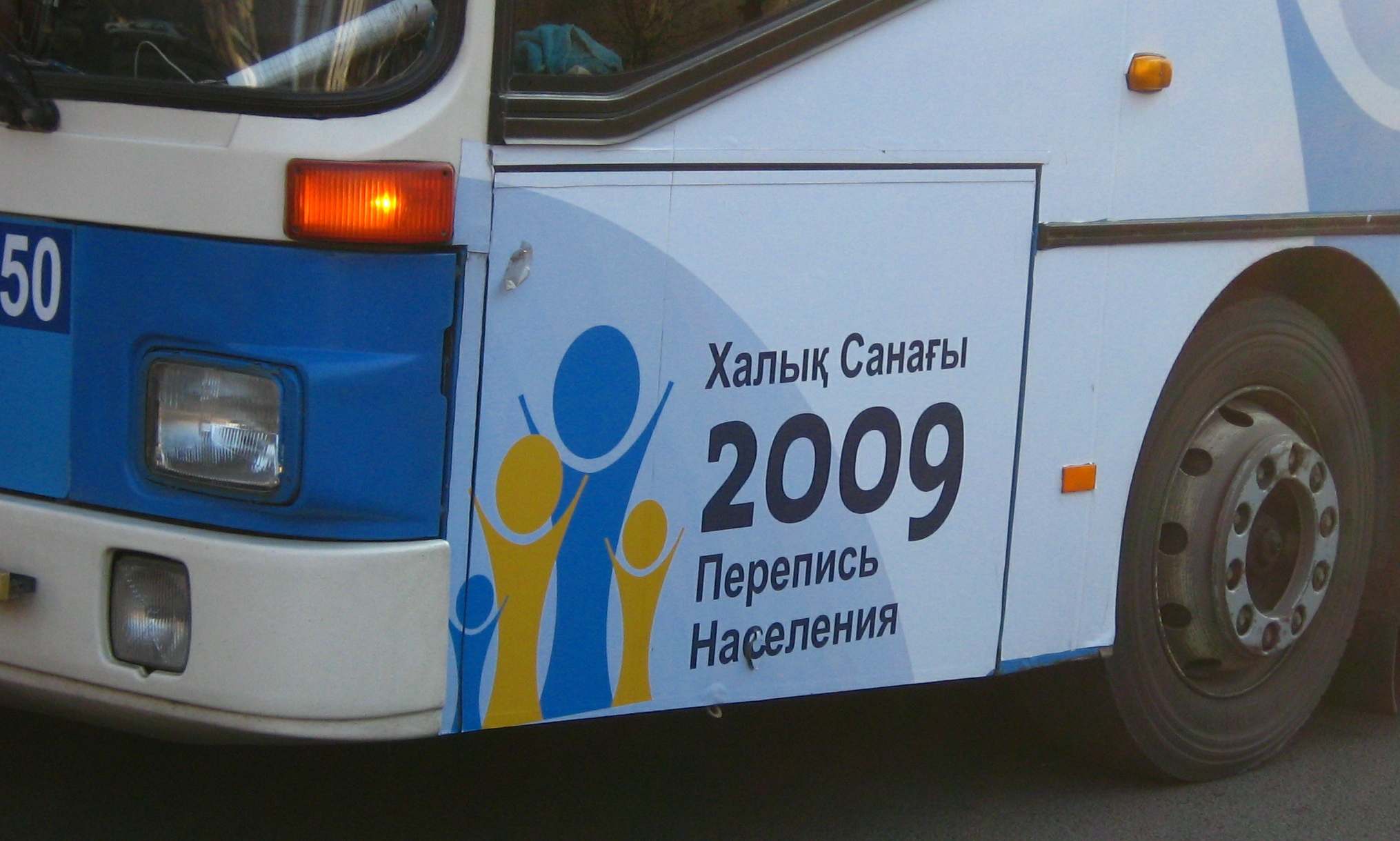
The 2009 population census of Kazakhstan was the second population census in Kazakhstan after it gained sovereignty. It was conducted on February 24–25. Preliminary official results of the census were published on February 4, 2010, on the website of the Bureau of National Statistics of the Republic of Kazakhstan. According to the 2009 census, the population of the Republic of Kazakhstan was 16,004.8 thousand people, an increase of 1,022.9 thousand (6.8%) compared to the 1999 population census of Kazakhstan, 1999 census. One of the most unexpected results of the census was a slight decrease in the share of the urban population from 56.3% to 54.0% and the determination of the level of Agriculture, agricultural development. National composition The census recorded a trend towards an increase in the number of residents of Kazakhstan, which replaced a period of decline. This is explained by a decrease in the emigration of European ethnic groups, an increase in the growth rate of the ... [...More Info...] [...Related Items...] OR: [Wikipedia] [Google] [Baidu] |


