|
Kochi Water Metro
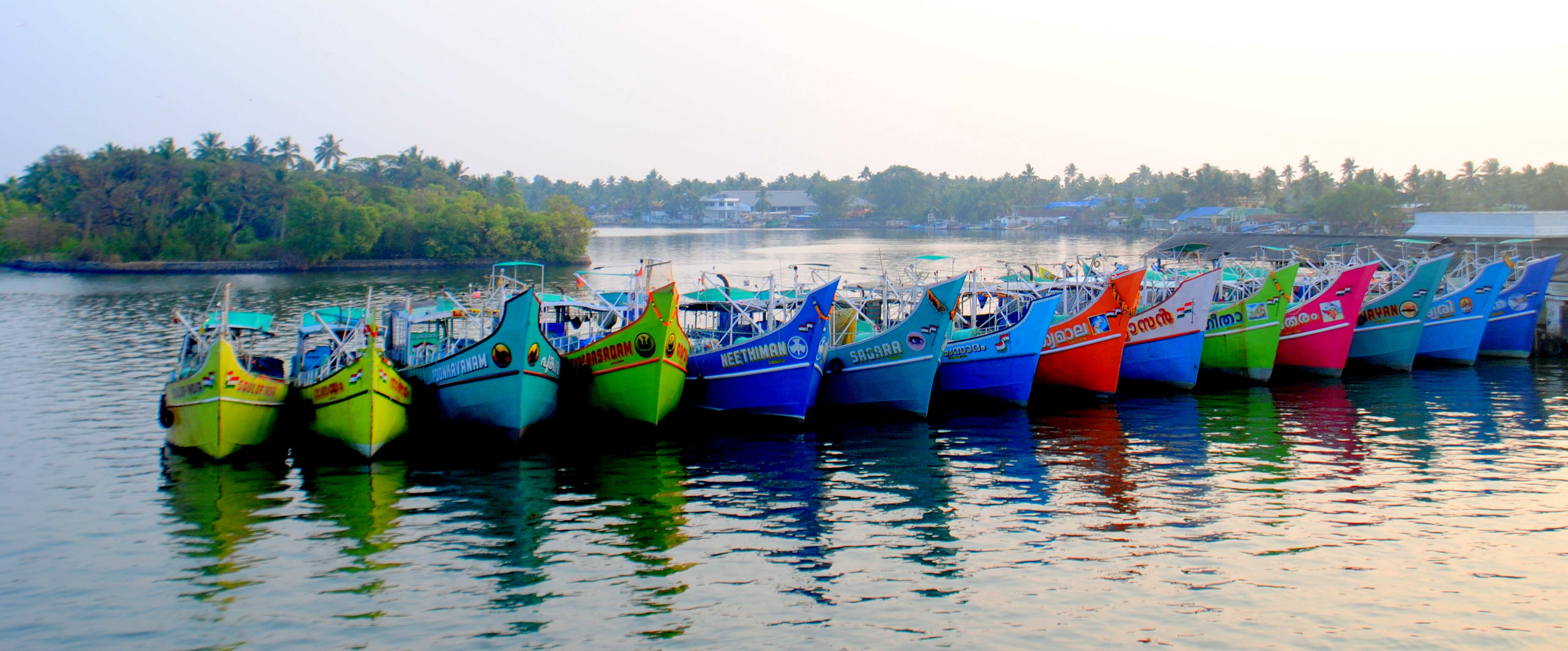
Kochi Water Metro is an integrated ferry transport project in Greater Kochi region proposed by Kochi Metro Rail Limited. It is the first of its kind transport system in India and South Asia, that will connect Kochi’s 10 island communities with the mainland through a fleet of 78 battery-operated electric hybrid boats plying along 38 terminals and 16 routes spanning 76 kilometers. It also serves as a feeder service to suburbs along the rivers where transport accesibility is limited. The project obtained the final environment clearance in October 2019 and its first route between Vytilla and InfoPark was inaugurated in February 2021. As of December 2022, it is expected to be in operation by the early 2023. The project is expected to become fully operational by 2035 with a daily readership of 1.5 lakh passengers. Overview Two variants of modernised air-conditioned and Wi-Fi enabled catamaran passenger boats were proposed for the project. The electric propulsion boats has a pa ... [...More Info...] [...Related Items...] OR: [Wikipedia] [Google] [Baidu] |
Kochi Metro Rail Limited
Kochi Metro Rail Limited, abbreviated to KMRL, is a centre-state public sector company in Kochi, Kerala, India, that operates the Kochi Metro and Kochi Water Metro. The company was incorporated on 2 August 2011. History Kochi Metro Rail Limited is responsible for the implementation, operation and maintenance of Kochi Metro Rail Project and Kochi Water Metro Project as per orders from the Planning Commission and the Union Government. KMRL is a joint venture company with equal equity contribution of Government of India and Government of Kerala. Projects Kochi Metro Initially the project was Phase -I, Aluva to Petta and Phase -II JLN Stadium to Info Park. In Phase-I, KMRL proposed to have 22 stations covering a distance of 25 km from Aluva to Petta. KMRL now has 16http://www.thehindu.com/news/cities/Kochi/kochi-metros-new-stretch-to-be-inaugurated-today/article19787565.ece 16 Kochi Metro running stations operational stations covering a distance of 18.4 km from Al ... [...More Info...] [...Related Items...] OR: [Wikipedia] [Google] [Baidu] |
International Maritime Organization
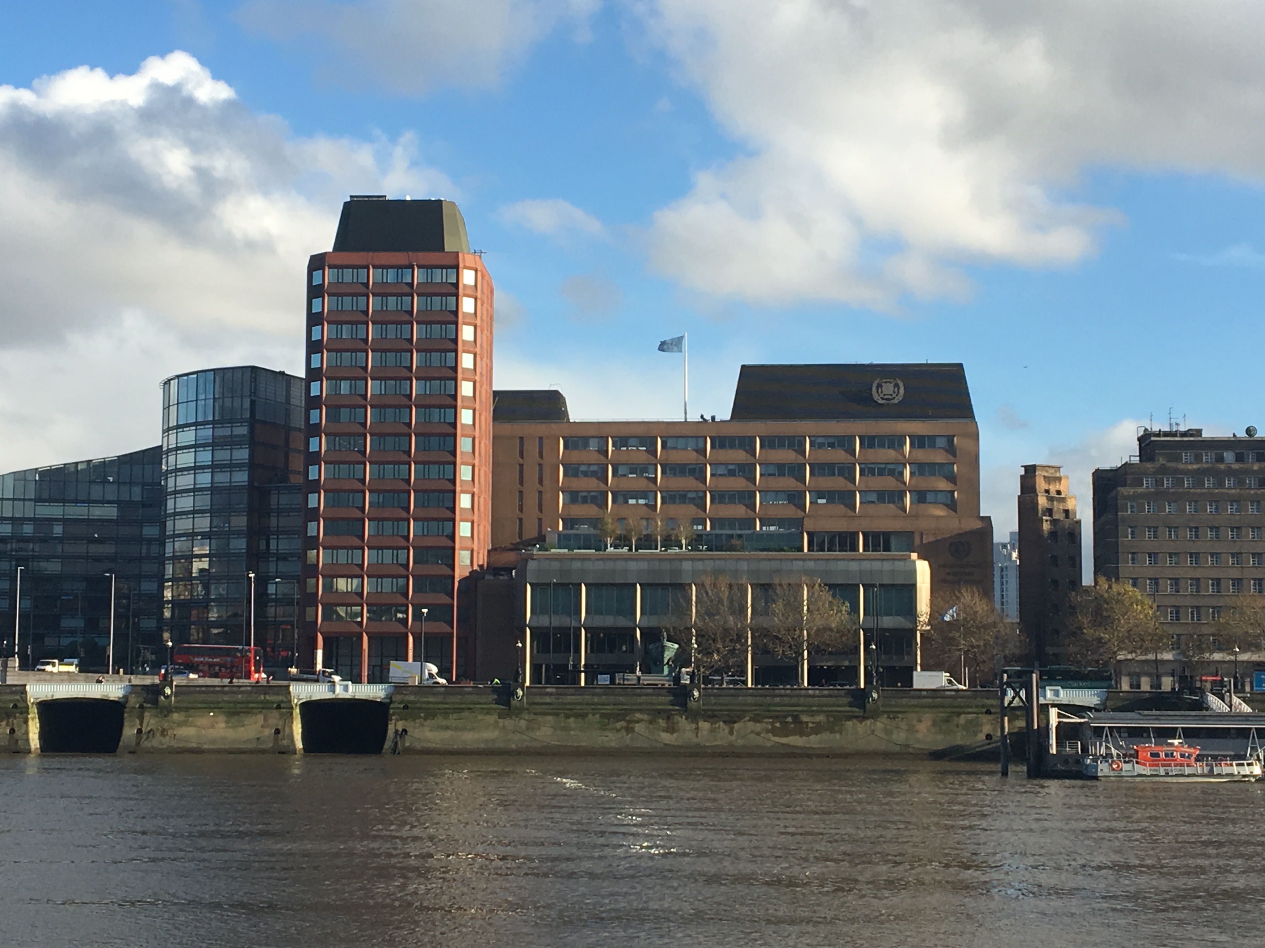
The International Maritime Organization (IMO, French: ''Organisation maritime internationale'') is a specialised agency of the United Nations responsible for regulating shipping. The IMO was established following agreement at a UN conference held in Geneva in 1948 and the IMO came into existence ten years later, meeting for the first time in 1959. Headquartered in London, United Kingdom, IMO currently has 175 Member States and three Associate Members. The IMO's primary purpose is to develop and maintain a comprehensive regulatory framework for shipping and its remit today includes maritime safety, environmental concerns, legal matters, technical co-operation, maritime security and the efficiency of shipping. IMO is governed by an assembly of members which meets every two years. Its finance and organization is administered by a council of 40 members elected from the assembly. The work of IMO is conducted through five committees and these are supported by technical subcom ... [...More Info...] [...Related Items...] OR: [Wikipedia] [Google] [Baidu] |
Mulavukad
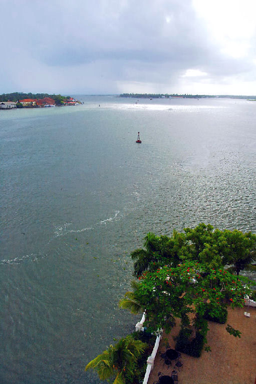
Mulavukad, also known locally as Bolgatty Island, is one of the islands that forms part of the city of Kochi in Kerala, India. It is situated in the Mulavukad Grama Panchayat. Vypin island and Vallarpadam island lie on its west side and Vaduthala lie to its east. Mulavukad is connected to mainland Ernakulam & Vallarpadam by the Goshree bridges and to Container terminal road at north side to connect to Kalamassery and Aluva side. Easy connection to the CBD, Northern and Southern side of Cochin city make the Island unique among other Goshree Islands. The Bolgatty Palace is located at the southern tip of the island. It was built by the Dutch as a centre for colonial administration, and later taken over by the British. The Palace is a popular tourist attraction and a heritage hotel, managed by the Kerala State Tourism Department (KTDC). The Lulu International Convention Center and Hyatt Hotels group is launching in Mulavukad in 2016. The island has a golf course and an ... [...More Info...] [...Related Items...] OR: [Wikipedia] [Google] [Baidu] |
Kakkanad
Kakkanad is a major industrial and residential region in the city of Kochi in Kerala, India. It is situated in the eastern part of the city and houses the Cochin Special Economic Zone, Infopark, Smart City and KINFRA Export Promotion Industrial Park. It is also the administrative headquarters of the District of Ernakulam. In the democratic local government, Kakkanad is part of Thrikkakara Municipality. The district office is located in Kakkanad. The collectorate of Ernakulam district is also located here. History Kakkanad is located near Thrikkakara, the capital of the mythical King Mahabali. In verse 273 of '' Naṉṉūl'', a 13th-century book on Tamil grammar, Sankara Namasivayar recites a venpa that describes the twelve districts of Tamil Nadu where Koduntamil is spoken, as Thenpandi Nadu, Kutta Nadu, Kuda Nadu, Karka Nadu, Venadu, Poozhi Nadu, Pandri Nadu, Aruva Nadu, Aruva Vadathalai, Seetha Nadu, Malai Nadu and Punal Nadu. "Karka Nadu" is believed to be a refe ... [...More Info...] [...Related Items...] OR: [Wikipedia] [Google] [Baidu] |
Eloor
Eloor is a suburb of Kochi and a municipality in Paravur Taluk, Ernakulam District in the Indian state of Kerala, India. It is an industrial area situated around north of the city centre. It is an island of 14.21 km2 formed between two distributaries of river Periyar and is the largest industrial belt in Kerala. The neighbouring places of Eloor are Kalamassery industrial hub, Aluva, Cheranalloor and Paravur. History Eloor Moopans were the traditional landlords in this area. Many revolts have occurred in Kottakkunnu, Eloor regarding land reformation. Kerala's first private hospital, St. Josephs Hospital opened in Eloor in the year 1886. Manjummel Sree Krishna Swamy temple is an ancient temple Economy There are various companies of different kinds along the industrial belt including Fertilisers and Chemicals Travancore (FACT), Indian Rare Earths Limited, Hindustan Insecticides Limited and many others manufacturing a range of products like chemical-petrochemical products ... [...More Info...] [...Related Items...] OR: [Wikipedia] [Google] [Baidu] |
Vyttila
Vyttila, , is an intersection as well as the name of a region in the city of Kochi, in the state of Kerala, India. It is the busiest as well as one of the largest intersections in Kerala. This node intersects the main north–south artery of the state of ''Kerala'', namely, the Kochi Bypass, with three city roads of ''Kochi'' viz, the S. A. Road (One of the city's most prominent arterial road in the east–west direction), the ''Vyttila-Petta Road'', and the '' Thammanam Road''. The name ''Vyttila'' is said to be evolved from the word "Vayal Thala" meaning the main part of the paddy field. Once the area including Elamkulam, were paddy fields and paddy cultivation were the main sources of income. The paddy field existed from Ernakulam, Girinagar, Panampilly Nagar, Gandhi Nagar, Jawahar Nagar, Kumarananshan Nagar and extended to Kaniyampuzha and Panamkutyy bridge. Some also say that because there existed a bunch of dacoits, who murdered and looted the travelers the name evol ... [...More Info...] [...Related Items...] OR: [Wikipedia] [Google] [Baidu] |
Nettoor
Nettoor (also spelled as Nettur aka Tirunettur) is a region in the city of Kochi. It is around from Vytilla Junction and around from Ernakulam Junction Railway Station. Nettoor is located on Panangad Island and is a part of Maradu Municipality. Tirunettur Railway Station on Kochi-Alappuzha railway line is situated on the northern end of Nettoor. Both NH 66 and NH 966B passes through Nettoor. Location Education There are six educational institutions in Nettoor. Saraswati Vilasam Upper Primary (SVUP) school and Raman Master memorial LP school are two schools located here, which are affiliated to the Kerala State Education Board. There are, also, three schools, Mahallu, St. Maria Goretti and Holy Angels public school, which are affiliated to Central Board of Secondary Education (CBSE). Govt. ITI Maradu is situated at Nettoor, near SVUP school and Trika temple. Healthcare There are two hospitals at Nettoor – Nettoor Primary Health Centre and Lakeshore Hospital & Research ... [...More Info...] [...Related Items...] OR: [Wikipedia] [Google] [Baidu] |
Edakochi
Edakochi is one of the oldest districts in southern Kochi (or Cochin), India. It borders Palluruthy to the northwest and is separated from Aroor to the south and Kumbalam, Ernakulam to the east by the Kerala backwaters. Bridges and roads The Edakochi Kannangatt Bridge links Kannangat to the Indian Maritime University junction on NH 966B (Kundanoor Willingdon Highway). It was constructed by the Kerala Public Works Department. The Edakochi Kannangat Willingdon Island Bridge was opened to the public in September 2017 by the Minister of Works, G. Sudhakaran, bringing the city closer to the Thevara and Kundanoor regions. Buildings Edakochi is home to the proposed site for the Kerala Cricket Association Stadium. It will be located from the South Railway Station, from the North Railway Station, and from Kaloor. Edakochi's St. Lawrence's Church has gained fame as the burial place of Monsignor Lawrence Puliyanath. The church at Edakochin is one of the oldest churches ... [...More Info...] [...Related Items...] OR: [Wikipedia] [Google] [Baidu] |
Vypin
Vypin (Malayalam: വൈപ്പിന്, Cochin Portuguese: Isla Santa) is one of the group of islands that form part of the city of Kochi (Cochin), in the Indian state of Kerala. Vypin forms a barrier island which lies between the Arabian Sea in the west and the Cochin backwaters formed by the various distributaries of Periyar river, in the east. The northernmost end of the island lies on the estuary of the Periyar river in Muziris (Kodungallur), and the southernmost end in the mouth of the Cochin Backwaters in Kalamukku near Fort Vypin. The island is about long and is connected to mainland Kochi by a series of bridges known as the Goshree bridges, which start at Kalamukku in Vypin, touch other two islands and then finish at Marine Drive covering a total distance of around . Vypin is 58th most densely populated islands in the world. Njarakkal is one of the most densely populated locations within Vypin. Development At far the northern tip of Vypin, is home to the ... [...More Info...] [...Related Items...] OR: [Wikipedia] [Google] [Baidu] |
Kumbalam, Ernakulam
Kumbalam is a picturesque region in Kochi, in the state of Kerala, India. A water-bound countryside, bound by the Vembanad Lake, as well as the fast-encroaching city of Kochi Kochi (), also known as Cochin ( ) ( the official name until 1996) is a major port city on the Malabar Coast of India bordering the Laccadive Sea, which is a part of the Arabian Sea. It is part of the district of Ernakulam in the state of ..., it is situated around 9 km from Vytilla Junction. Location Neighbourhoods in Kochi {{Ernakulam-geo-stub Kumbalam is surrounded by Thevara in North, Wellington Island in North West, Edakochi in West, Kumbalangi in South West, Aroor in South, Panangad in Eastern side, Nettoor in North Eastern side. ... [...More Info...] [...Related Items...] OR: [Wikipedia] [Google] [Baidu] |
Willingdon Island
Willingdon Island is the largest artificial island in India, which forms part of the city of Kochi, in the state of Kerala. Much of the present Willingdon Island was claimed from the Lake of Kochi, filling in dredged soil around a previously existing, but tiny, natural island. Willingdon Island is significant as the home for the Port of Kochi as well as the Kochi Naval Base, the Southern Naval Command of the Indian Navy, Plant Quarantine station, Custom House Cochin and Central Institute of Fisheries Technology, a constituent unit of Indian Council of Agricultural Research. The island is also home for other establishments associated with the port, namely, the ''Office of the'' Cochin Port Trust (that controls the Port of Kochi), the Customs Office'','' and more than two dozen export-import offices, warehouses, a few hotels and business centers. History Conception The idea of developing a new port in Kochi was first felt by Sir Robert Bristow, who was appointed by ... [...More Info...] [...Related Items...] OR: [Wikipedia] [Google] [Baidu] |


