|
Kikafu River
Kikafu River(''Mto Kikafu'' in Swahili) is located in the northern Kilimanjaro Region, Tanzania. It begins in Machame Mashariki ward in Moshi District Moshi Urban District (officially known as Moshi City Council) is an administrative district located in Kilimanjaro Region of Tanzania. The district is home to regional capital of Kilimanjaro Region, namely Moshi. The district covers an area of . ... and drains into the Pangani River. The river plays an important part of Chagga history in the Chagga kingdom of Machame.Tschannerl, Gerhard. “RURAL WATER-SUPPLY IN TANZANIA: IS ‘POLITICS’ OR ‘TECHNIQUE’ IN COMMAND?” The African Review: A Journal of African Politics, Development and International Affairs, vol. 6, no. 2, 1976, pp. 108–66. JSTOR, http://www.jstor.org/stable/45341412. Accessed 9 May 2023. References Rivers of Tanzania {{Kilimanjaro-geo-stub ... [...More Info...] [...Related Items...] OR: [Wikipedia] [Google] [Baidu] |
German East Africa
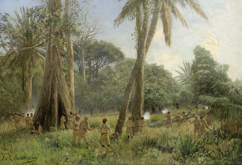
German East Africa (GEA; german: Deutsch-Ostafrika) was a German colony in the African Great Lakes region, which included present-day Burundi, Rwanda, the Tanzania mainland, and the Kionga Triangle, a small region later incorporated into Mozambique. GEA's area was , which was nearly three times the area of present-day Germany and double the area of metropolitan Germany at the time. The colony was organised when the German military was asked in the late 1880s to put down a revolt against the activities of the German East Africa Company. It ended with Imperial Germany's defeat in World War I. Ultimately GEA was divided between Britain, Belgium and Portugal and was reorganised as a mandate of the League of Nations. History Like other colonial powers the Germans expanded their empire in the Africa Great Lakes region, ostensibly to fight slavery and the slave trade. Unlike other imperial powers, however they never formally abolished either slavery or the slave trade and pref ... [...More Info...] [...Related Items...] OR: [Wikipedia] [Google] [Baidu] |
Machame Mashariki
Machame Mashariki is an administrative ward in Hai District of Kilimanjaro Region in Tanzania Tanzania (; ), officially the United Republic of Tanzania ( sw, Jamhuri ya Muungano wa Tanzania), is a country in East Africa within the African Great Lakes region. It borders Uganda to the north; Kenya to the northeast; Comoro Islands and .... The ward covers an area of , and has an average elevation of . According to the 2012 census, the ward has a total population of 13,084. References Wards of Hai District Wards of Kilimanjaro Region {{Kilimanjaro-geo-stub ... [...More Info...] [...Related Items...] OR: [Wikipedia] [Google] [Baidu] |
Moshi District
Moshi Urban District (officially known as Moshi City Council) is an administrative district located in Kilimanjaro Region of Tanzania. The district is home to regional capital of Kilimanjaro Region, namely Moshi. The district covers an area of . The district is surrounded on the west by Moshi Rural District, to the east by the Hai District. According to the 2012 Tanzania National Census, the population of Moshi Urban District was 184,292. Administrative subdivisions Wards The Moshi Urban District is administratively divided into 21 wards: # Bondeni # Kaloleni # Karanga # Kiboriloni # Kilimanjaro # Kiusa # Korongoni # Longuo # Majengo # Mawenzi # Mji Mpya # Msaranga # Njoro # Rau # Pasua # Ng'ambo # Mfumuni # Miembeni # Soweto Soweto () is a township of the City of Johannesburg Metropolitan Municipality in Gauteng, South Africa, bordering the city's mining belt in the south. Its name is an English syllabic abbreviation for ''South Western Townships''. Former ... [...More Info...] [...Related Items...] OR: [Wikipedia] [Google] [Baidu] |
Kilimanjaro Region
Kilimanjaro Region (''Mkoa wa Kilimanjaro'' in Swahili) is one of Tanzania's 31 administrative regions. The regional capital and largest city is the municipality of Moshi. With a HDI of 0.613, Kilimajaro is one among the most developed regions of Tanzania. According to the 2012 national census, the region had a population of 1,640,087, which was lower than the pre-census projection of 1,702,207.Population Distribution by Administrative Units, United Republic of Tanzania, 2013 For 2002-2012, the region's 1.8 percent average annual population growth rate was the 24th highest in the country. It was also the eighth most densely populated region with 124 people per square ... [...More Info...] [...Related Items...] OR: [Wikipedia] [Google] [Baidu] |
Moshi District, Kilimanjaro
Moshi is one of the seven administrative districts of the Kilimanjaro Region of Tanzania. The district covers an area of . The District is bordered to the north by the Rombo District, to the west by the Hai District, to the east by the Mwanga District and Kenya, and to the south by Simanjiro District of Manyara Region. The district also surrounds Moshi Municipal District on three sides. According to the 2012 census, the population of the Moshi District was 466,737. By 2022, the population had grown to 535,803. Administrative subdivisions Wards The Moshi District is administratively divided into 31 wards: * Arusha Chini * Kahe * Kahe Mashariki * Kibosho Kati * Kibosho Magharibi * Kibosho Mashariki * Kilema Kaskazini * Kilema Kati * Kilema Kusini * Kimochi * Kindi * Kirima * Kirua Vunjo Kusini * Kirua Vunjo Magharibi * Kirua Vunjo Mashariki * Mamba Kaskazini * Mamba Kusini * Marangu Magharibi * Marangu Mashariki * Mabogini * Makuyuni * Mbokomu * Mwika Kaskazin ... [...More Info...] [...Related Items...] OR: [Wikipedia] [Google] [Baidu] |
Pangani River
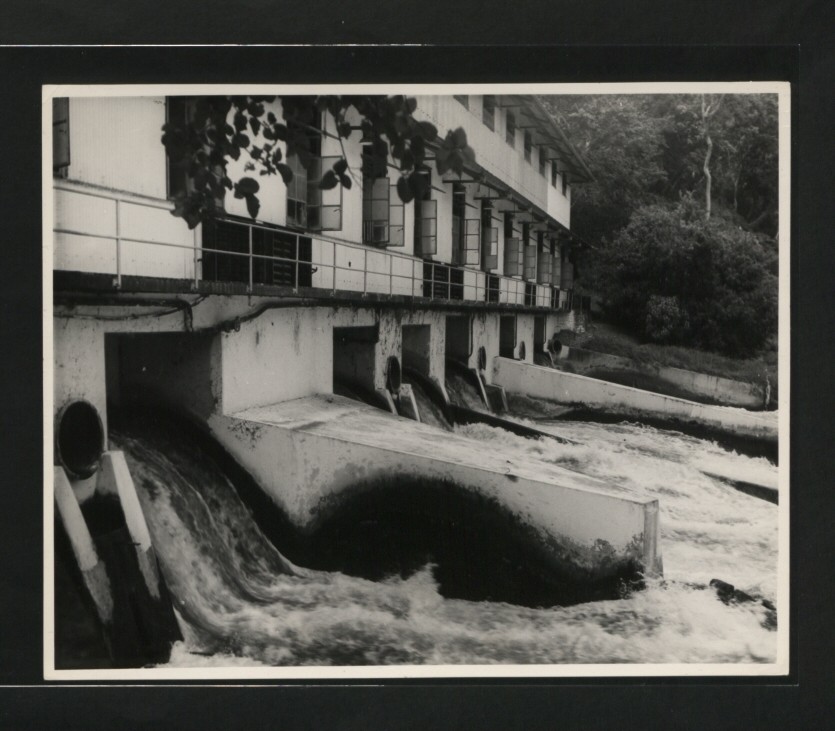
The Pangani River (pin-gi'nee) (also called Luffu and Jipe Ruvu, especially in older sources, and probably once called Rhaptus) is a major river of northeastern Tanzania. It has two main sources: the Ruvu, which rises as Lumi at Kilimanjaro, passes through Lake Jipe, and empties into the Nyumba ya Mungu Reservoir, and the Kikuletwa, coming from the west and mainly fed by Mount Meru in Arusha Region, which also enters into the Nyumba ya Mungu Reservoir in Kilimanjaro Region. Just after leaving the reservoir the stream becomes the main Pangani, which empties into the Indian Ocean in Tanga Region at the Tangan port town of Pangani. For much of its length the river flows along the regional borders of Kilimanjaro Region and Manyara Region, before flowing into Tanga Region, which contains the 68 MW Pangani Power Station and the Pangani Falls Dam. There are several inhabited islands within the river. The river is full of crocodiles; hippopotami are scarcer in its lower parts. ... [...More Info...] [...Related Items...] OR: [Wikipedia] [Google] [Baidu] |
Swahili Language
Swahili, also known by its local name , is the native language of the Swahili people, who are found primarily in Tanzania, Kenya and Mozambique (along the East African coast and adjacent litoral islands). It is a Bantu language, though Swahili has borrowed a number of words from foreign languages, particularly Arabic, but also words from Portuguese, English and German. Around forty percent of Swahili vocabulary consists of Arabic loanwords, including the name of the language ( , a plural adjectival form of an Arabic word meaning 'of the coast'). The loanwords date from the era of contact between Arab slave traders and the Bantu inhabitants of the east coast of Africa, which was also the time period when Swahili emerged as a lingua franca in the region. The number of Swahili speakers, be they native or second-language speakers, is estimated to be approximately 200 million. Due to concerted efforts by the government of Tanzania, Swahili is one of three official languag ... [...More Info...] [...Related Items...] OR: [Wikipedia] [Google] [Baidu] |
Chaga People
The Chaga or Chagga (Swahili language: WaChaga) are Bantu-speaking indigenous Africans and the third-largest ethnic group in Tanzania. They traditionally live on the slopes of Mount Kilimanjaro and eastern Mount Meru in both Kilimanjaro Region and eastern Arusha Region. Their relative economic wealth comes from favorable fertile soil of mount Kilimanjaro and successful agricultural methods, which include extensive irrigation systems, terracing, and continuous organic fertilization methods practiced for thousands of years. The Chaga are said to have descended from various Bantu groups who migrated from elsewhere in Africa to the foothills of Mount Kilimanjaro, a migration that began around the start of the eleventh century. While the Chaga are Bantu-speakers, their language has a number of dialects somewhat related to Kamba, which is spoken in southeast Kenya,. They are ethnically related to the Pare, Taveta, Shambaa people and Taita peoples. The inhabitants reveal migration ... [...More Info...] [...Related Items...] OR: [Wikipedia] [Google] [Baidu] |
Machame
Machame or Kingdom of Machame (''Kwamangi ya Mashame'' in Chaga languages, Kichagga), (''Ufalme wa Machame'' in Swahili language, Swahili) was a historic sovereign Chagga states, Chagga state located in modern day Machame Kaskazini ward in Hai District of Kilimanjaro Region in Tanzania. Historically, the Machame kingdom was in 1889 referred by Hans Meyer (geographer), Hans Meyer as a great African giant, the kingdom was also the largest and most populous of all the Chagga sovereign states on Mount Kilimanjaro, Kilimanjaro, whose ruler as early as 1849 was reckoned as a giant African king with influence extending throughout all Chaga people, Chagga states except Rombo. By the 1860s, a German explorer Von der Decken (popularly known to the Chagga as ''Baroni''), presented Machame as a confederation of western Chagga states comprising Narumu, Kindi, Kombo, to as far as the Western end of Kibongoto (Siha), each with their own chiefs under the king of Machame. 'Baroni' observed that ... [...More Info...] [...Related Items...] OR: [Wikipedia] [Google] [Baidu] |


