|
Khampat
Khampat (ခမ်းပါတ်မြို့) is a town in the Kabaw Valley in the Sagaing Region in western Myanmar. It is at the location where the Namsaweng River flows down from the hills and enters the Kabaw Valley. It is the site of a historical principality, which often changed hands between Manipur (now in India) and the Burmese kingdoms to the east. The town is the principal town of Khampat Subtownship, an unofficial subdivision of Tamu Township used for administrative and statistical purposes. In 2014, the town had 14,559 inhabitants while the surrounding subtownship had 24,169 people. History Historical reports indicate that the Kale-Kabaw valley used to have three principalities based at Thaungdut (also known as Sumjok), Khampat, and Kalay, Kale. Thaungdut/Sumjok and Khampat were jointly invaded by Kiyamba, King Kiyamba of Manipur and the king of Kingdom of Pong, Pong in 1467 CE, and divided among themselves. Khampat was at the time under the control of "Kyangs" ... [...More Info...] [...Related Items...] OR: [Wikipedia] [Google] [Baidu] |
Tamu Township
Tamu Township is a Kuki township in Tamu District in the Sagaing Division of Burma."Myanmar States/Divisions & Townships Overview Map" Myanmar Information Management Unit (MIMU) The principal town is Tamu, Burma, Tamu. Tamu township is the only township of Tamu District, which borders India. History On January 7, 2024, in the midst of the Myanmar civil war (2021–present), Myanmar civil war, the Myanmar military engaged in airstrikes on the village of Kanan within Khampat, Tamu Township near the village church and a school, killing 17 civilians, including nine children, and wounded 20.List of towns Villages *Ahlaw *Kanan (; in Khampat)< ...[...More Info...] [...Related Items...] OR: [Wikipedia] [Google] [Baidu] |
Tamu District
Tamu District is an administrative district in Sagaing Region, Myanmar. The Permanent Committee of Geographic Names (PCGN), United Kingdom, from Its administrative center is Tamu Town. Townships Tamu District consists of the following townships: * *[...More Info...] [...Related Items...] OR: [Wikipedia] [Google] [Baidu] |
Kuki-Chin Languages
The Kuki-Chin languages (also called Kukish or South-Central Tibeto-Burman languages) are a branch of the Sino-Tibetan language family spoken in northeastern India, western Myanmar and southeastern Bangladesh. Most notable Kuki-Chin-speaking ethnic groups are referred to collectively as the Zo people which includes the Mizo, Kuki, Chin and Zomi people. Kuki-Chin is alternatively called ''South-Central'' Trans-Himalayan (or ''South Central'' Tibeto-Burman) by Konnerth (2018), because of negative connotations of the term "Kuki-Chin" for many speakers of languages in this group. Kuki-Chin is sometimes placed under Kuki-Chin–Naga, a geographical rather than linguistic grouping. Geographical distribution * Northwestern ("Old Kuki"): Chandel district of Manipur, India; Tamu Township of Sagaing Region, Myanmar. * Northeastern ("Kuki-Zo"): Chandel district, Churachandpur district, Kangpokpi district, Noney district, Tamenglong district, and Tengnoupal districts of Manipu ... [...More Info...] [...Related Items...] OR: [Wikipedia] [Google] [Baidu] |
Myanmar Civil War (2021–present)
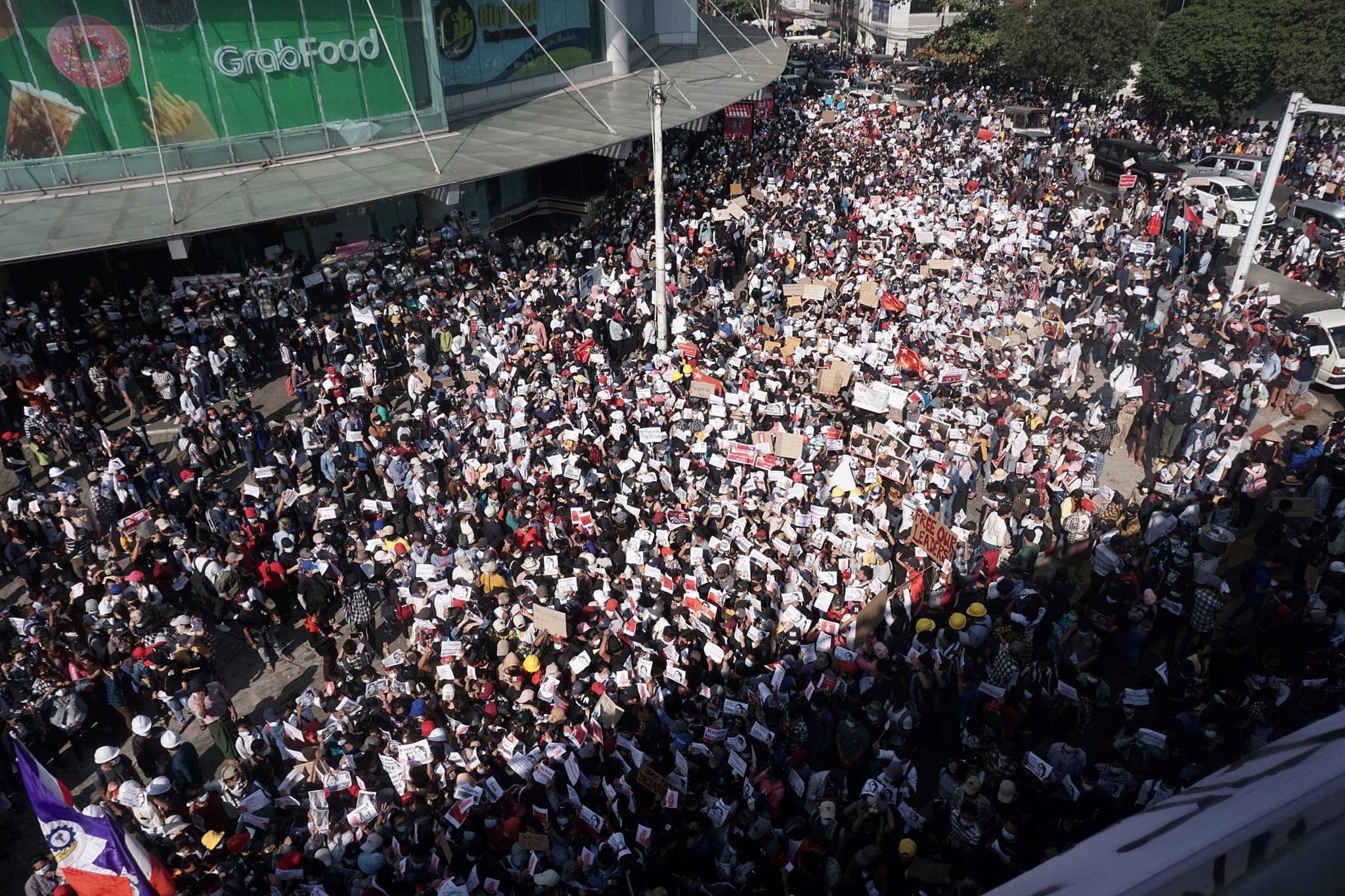
The Myanmar civil war (Burmese language, Burmese: မြန်မာ့ပြည်တွင်းစစ်),, also known as the Burmese civil war, is an ongoing civil war since 2021. It began following Myanmar conflict, Myanmar's long-running insurgencies, which escalated significantly in response to the 2021 Myanmar coup d'état, 2021 coup d'état and the subsequent violent crackdown on Myanmar protests (2021–present), anti-coup protests. The Government-in-exile, exiled National Unity Government of Myanmar, National Unity Government (NUG) and major list of ethnic armed organisations in Myanmar, ethnic armed organisations repudiated the 2008 Constitution of Myanmar, 2008 Constitution and called instead for a democratic Federalism in Myanmar, federal state. Besides engaging this alliance, the ruling government of the State Administration Council (SAC), also contends with other anti-SAC forces in areas under its control. The insurgents are apportioned into hundreds of armed g ... [...More Info...] [...Related Items...] OR: [Wikipedia] [Google] [Baidu] |
Townships Of Myanmar
Townships (; ) are the third-level Administrative divisions of Myanmar, administrative divisions of Myanmar. They are the sub-divisions of the districts of Myanmar. According to the Myanmar Information Management Unit (MIMU), as of December 2015, there are 330 townships in Myanmar."Myanmar States/Divisions & Townships Overview Map" Myanmar Information Management Unit (MIMU) Townships are the basic administrative unit of local governance and are the only type of administrative division that cover all of Myanmar. A township is administered by a township administrator, a civil servant appointed through the General Administration Department, General Administration Department (GAD) of the Ministry of Home Affairs ... [...More Info...] [...Related Items...] OR: [Wikipedia] [Google] [Baidu] |
Thaungdut
Thaungdut or Thaung Thut is a village on the Chindwin River in Homalin District in northern Sagaing Region of northwestern Burma. It is located next to Chaunggan. Originally, "Thaung Thut" was the Burmese name for Hsawnghsup, a Shan state in the northern Kabaw Valley. Its headquarters was moved to the present village of Thaungdut on the bank of the Chindwin River sometime during the rule of Ava (most likely during the Konbaung period). The name Thaungdut is now applied to only the village. History Originally, Thaungdut (Hsawnghsup) was one of the Shan States ruled by Shan saopha Saopha (), also spelled Sawbwa, was the title used by hereditary rulers of Shan states in Upper Myanmar. Chaopha and Chao Fa were similar titles used by the hereditary Tai rulers in mainland Southeast Asia and the Ahom kingdom in India. Nam ...s. Demographics Thaungdut has a population of 2,241 people (1,043 males and 1,198 females) living in 441 households. [...More Info...] [...Related Items...] OR: [Wikipedia] [Google] [Baidu] |
People's Defence Force (Myanmar)
The People's Defence Force is the armed wing of the National Unity Government (NUG) in Myanmar. The armed wing was formed by the NUG from youths and pro-democracy activists on 5 May 2021 in response to the coup d'état that occurred on 1 February 2021 that put the military junta and their armed wing the Tatmadaw in power. The military junta designated it as a terrorist organisation on 8 May 2021. In October 2021, NUG's Ministry of Defence announced that it had formed a central committee to coordinate military operations across the country. According to the NUG statement, the PDF is divided into five regional commands (Northern, Southern, Central, Eastern and Western commands), each mounting at least three brigades. Each brigade consists of five battalions, which divide into four companies. On 13 July 2021, NUG's minister of defence Yee Mon stated that the strength of the newly-formed militia was expected to reach 8,000 by the end of the month. Estimates by ''The Irrawaddy'' p ... [...More Info...] [...Related Items...] OR: [Wikipedia] [Google] [Baidu] |
Tamu, Myanmar
Tamu is a town in the Kabaw Valley in the Sagaing Region in north-west Myanmar near the border with the eastern Indian state of Manipur. It is a principal town of the Kabaw Valley and the seat of administration for the Tamu Township. Opposite the Indian town of Moreh, it is home to an official border trade posts with India, which opened on 12 April 2005. In 2022, total trade volume at the border post stood at . Transport Tamu is something of a transport hub for cross-border traffic to India, being just across the border from Moreh. It is on the alignment of a proposed railway connecting the two countries. Tamu is an important commercial town serving the Indian border town of Moreh. It is also a hub for smuggled goods from Thailand and China which are transported to India. The town is mainly populated by the Burmese, Chin ethnic people, and many others from throughout the country. Highway to Thailand India's foreign minister met with Myanmar's construction minister in Delhi on ... [...More Info...] [...Related Items...] OR: [Wikipedia] [Google] [Baidu] |
First Anglo-Burmese War
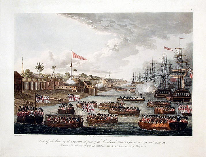
The First Anglo-Burmese War (; ; 5 March 1824 – 24 February 1826), also known as the First Burma War in English language accounts and First English Invasion War () in Burmese language accounts, was the first of three wars fought between the British and Burmese empires in the 19th century. The war, which began primarily over the control of what is now Northeastern India, ended in a decisive British victory, giving the British total control of Assam, Cachar, Manipur and Jaintia as well as Arakan Province and Tenasserim. The Burmese submitted to a British demand to pay an indemnity of one million pounds sterling, and signed a commercial treaty. The war was one of the most expensive in British Indian history. Fifteen thousand European and Indian soldiers died, together with an unknown number of Burmese military and civilian casualties. The high cost of the campaign to the British, 5–13 million pounds sterling (£ – £ as of ) contributed to a severe economic crisis ... [...More Info...] [...Related Items...] OR: [Wikipedia] [Google] [Baidu] |
British Raj
The British Raj ( ; from Hindustani language, Hindustani , 'reign', 'rule' or 'government') was the colonial rule of the British The Crown, Crown on the Indian subcontinent, * * lasting from 1858 to 1947. * * It is also called Crown rule in India, * * * * or direct rule in India. * Quote: "Mill, who was himself employed by the British East India company from the age of seventeen until the British government assumed direct rule over India in 1858." * * The region under British control was commonly called India in contemporaneous usage and included areas directly administered by the United Kingdom of Great Britain and Ireland, United Kingdom, which were collectively called ''Presidencies and provinces of British India, British India'', and areas ruled by indigenous rulers, but under British British paramountcy, paramountcy, called the princely states. The region was sometimes called the Indian Empire, though not officially. As ''India'', it was a founding member of th ... [...More Info...] [...Related Items...] OR: [Wikipedia] [Google] [Baidu] |
Cheitharol Kumbaba
''Cheitharol Kumbaba'' or ''Cheithalon Kumpapa'' (''Ch. K.''), the "Royal Chronicle of Manipur", is a court chronicle of the kings of Manipur, which claims to start from 33 CE and to cover the rule of 76 Kings until 1955. The work of chronicling actually began during the reign of King Kiyamba in 1485 CE. The earlier events were reconstructed later during the reign of Bhagyachandra, presumably from oral sources or from scattered written records. According to scholar Saroj Nalini Parratt, the earlier parts have relatively little detail but contain numerous inaccuracies. But they are still said to be useful in reconstructing Manipur's early history. Etymology Ancient Meitei counting methods involved sticks (''chei'') being placed (''thapa'') to represent a base number. ''Kum'' signifies a period of time and ''paba'' is a verb meaning to read or reckon. The chronicle's title therefore connotes the "placing of sticks or using a base as a means of reckoning the period of time, the y ... [...More Info...] [...Related Items...] OR: [Wikipedia] [Google] [Baidu] |
Kukis
The Kuki people, or Kuki-Zo people,Rakhi BoseIn Tense Manipur, Sub-Categorisation And 'Creamy Layer' Could Open A Pandora's Box Outlook, 11 September 2024. uoting general secretary of the Committee on Tribal Unity (COTU), Kangpokpi''At present, all tribal communities in Manipur (other than the Nagas) are united and organised under the banner of Kuki-Zo, and we want separate administration for our regions in Kangpokpi, Churachandpur and Tengnoupal.” are an ethnic group in the Northeastern Indian states of Manipur, Nagaland, Assam, Meghalaya, Tripura and Mizoram, as well as the neighbouring countries of Bangladesh and Myanmar. The Kukis form one of the largest hill tribe communities in this region. In Northeast India, they are present in all states except Arunachal Pradesh. The Chin people of Myanmar and the Mizo people of Mizoram are kindred tribes of the Kukis. Collectively, they are termed the Zo people. Some fifty tribes of Kuki peoples in India are recognised as sched ... [...More Info...] [...Related Items...] OR: [Wikipedia] [Google] [Baidu] |


