|
Ken-ichi Kimura (architect)
(born 1933, Fushun, China) is a Japanese environmental architect. Kimura's main interests lie in sustainable architecture and engineering. In 1972, he designed a solar-heated house for his family, which attracted public attention after the oil crisis of 1973. Since then, he has designed several more solar houses and conducted studies on energy conservation in buildings, utilization of natural energy sources, and solar heating and cooling. He has also enjoyed a long career in academia, and has authored a variety of publications. Kimura is the father of Mari Kimura, a Japanese violinist and composer in New York. Education and employment Kimura studied architecture and building science at Waseda University in Tokyo, graduating in 1957 with a bachelor's degree in Architecture. He stayed at the university to complete a master's degree in science, graduating in 1959. Then he joined the Solar Energy Project, and, from 1960–62, he worked as a research assistant at the Massac ... [...More Info...] [...Related Items...] OR: [Wikipedia] [Google] [Baidu] |
Fushun
Fushun ( zh, s=, t=, p=Fǔshùn, historically Fuxi ()) is a prefecture level city in Liaoning province, China, about east of Shenyang, with a total area of , of which is the city proper. Situated on the Hun River ("muddy river"), it is one of the industrial and economic development hubs in Liaoning. History The Ming first constructed Fushun walled city in 1384 after the division of the Yuan dynasty. "Fushun" is an abbreviation of the Chinese saying "to pacify the frontiers; to guide the Yi foreigners" (). The Jurchen (Manchu) leader Nurhachi married his granddaughter by his son Abatai to the Ming dynasty General Li Yongfang after Li surrendered Fushun in 1618 and defected to the Qing. One of Li Yongfang's descendants was sentenced to death by the Qianlong emperor, but his life was spared when he helped suppress the Lin Shuangwen rebellion. Fushun was in ruins in the one-and-a-half centuries of early Qing. In 1783, the new walled city was completed southwest of the ol ... [...More Info...] [...Related Items...] OR: [Wikipedia] [Google] [Baidu] |
Nara, Japan
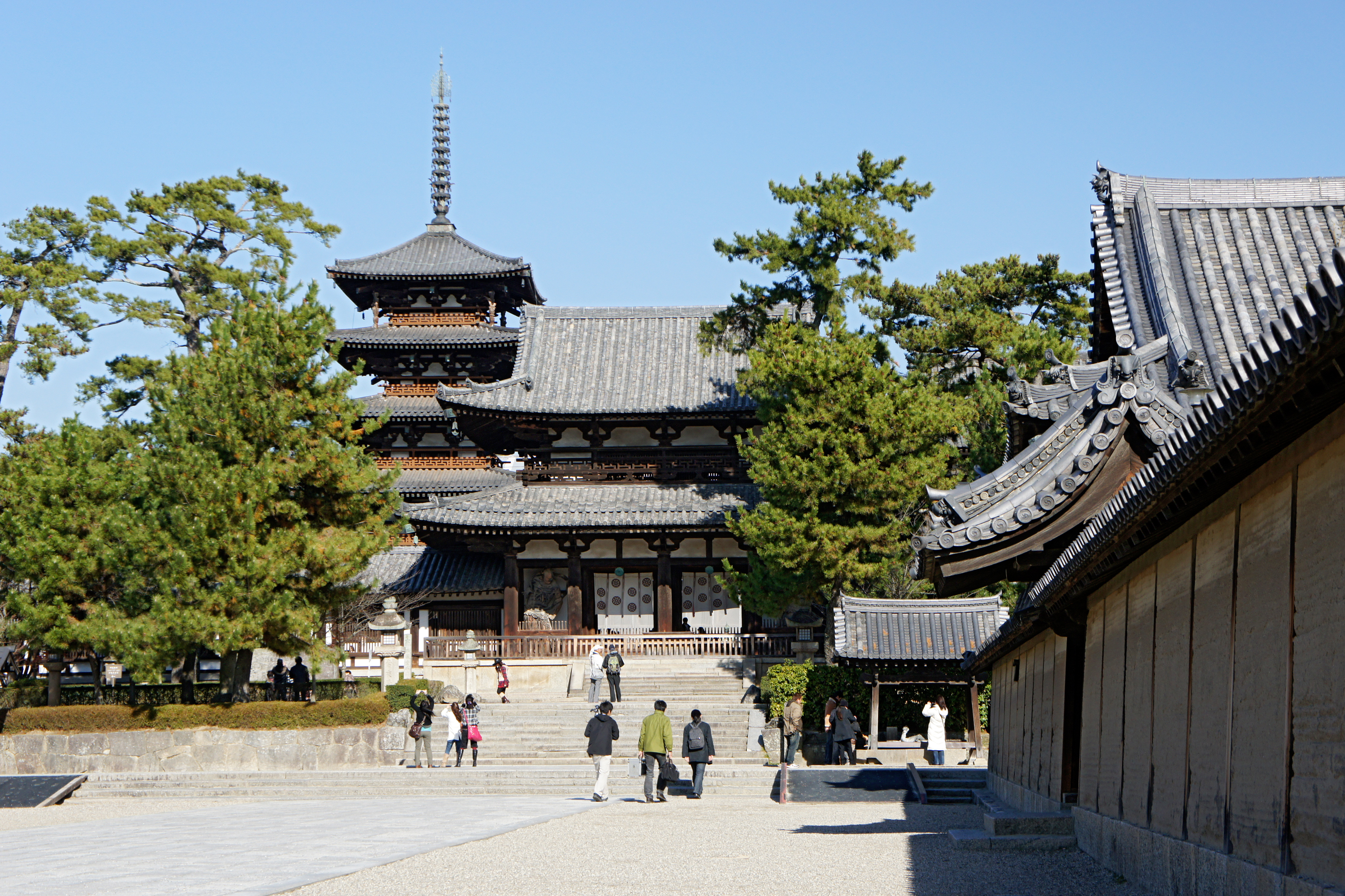
is a prefecture of Japan located in the Kansai region of Honshu. Nara Prefecture has a population of 1,321,805 and has a geographic area of . Nara Prefecture borders Kyoto Prefecture to the north, Osaka Prefecture to the northwest, Wakayama Prefecture to the southwest, and Mie Prefecture to the east. Nara is the capital and largest city of Nara Prefecture, with other major cities including Kashihara, Ikoma, and Yamatokōriyama. Nara Prefecture is located in the center of the Kii Peninsula on Japan's Pacific Ocean coast, and is one of only eight landlocked prefectures. Nara Prefecture has the distinction of having more UNESCO World Heritage listings than any other prefecture in Japan. History The Nara Prefecture region is considered one of the oldest regions in Japan, having been in existence for thousands of years, and is widely viewed as the Japanese cradle of civilization. Like Kyoto, Nara was one of Imperial Japan's earliest capital cities. The current form of Nara Pr ... [...More Info...] [...Related Items...] OR: [Wikipedia] [Google] [Baidu] |
Setagaya
is a special ward in the Tokyo Metropolis in Japan. It is also the name of a neighborhood and administrative district within the ward. Its official bird is the azure-winged magpie, its flower is the fringed orchid, and its tree is the '' Zelkova serrata''. Setagaya has the largest population and second-largest area (after Ōta) of Tokyo's special wards. As of July 1, 2023, the ward has an estimated population of 940,071, and a population density of 16,194 persons per km2 with the total area of 58.06 km2. Life expectancy As of 2023, the female life expectancy in Setagaya is 88.9 years. Geography Setagaya is located at the southwestern corner of the Tokyo's special wards and the Tama River separates the boundary between Tokyo Metropolis and Kanagawa Prefecture. Residential population is among the highest in Tokyo as there are many residential neighbourhoods within Setagaya. Setagaya is served by various rail services providing frequent two- to three-minute headway r ... [...More Info...] [...Related Items...] OR: [Wikipedia] [Google] [Baidu] |
Yokohama
is the List of cities in Japan, second-largest city in Japan by population as well as by area, and the country's most populous Municipalities of Japan, municipality. It is the capital and most populous city in Kanagawa Prefecture, with a population of 3.7 million in 2023. It lies on Tokyo Bay, south of Tokyo, in the Kantō region of the main island of Honshu. Yokohama is also the major economic, cultural, and commercial hub of the Greater Tokyo Area along the Keihin region, Keihin Industrial Zone. Yokohama was one of the cities to open for trade with the Western world, West following the 1859 end of the Sakoku, policy of seclusion and has since been known as a cosmopolitan port city, after Kobe opened in 1853. Yokohama is the home of many Japan's firsts in the Meiji (era), Meiji period, including the first foreign trading port and Chinatown (1859), European-style sport venues (1860s), English-language newspaper (1861), confectionery and beer manufacturing (1865), daily newspap ... [...More Info...] [...Related Items...] OR: [Wikipedia] [Google] [Baidu] |
Tochigi Prefecture
is a landlocked Prefectures of Japan, prefecture of Japan located in the Kantō region of Honshu. Tochigi Prefecture has a population of 1,897,649 (1 June 2023) and has a geographic area of 6,408 Square kilometre, km2 (2,474 Square mile, sq mi). Tochigi Prefecture borders Fukushima Prefecture to the north, Gunma Prefecture to the west, Saitama Prefecture to the south, and Ibaraki Prefecture to the southeast. Utsunomiya is the capital and largest city of Tochigi Prefecture, with other major cities including Oyama, Tochigi, Oyama, Tochigi, Tochigi, Tochigi, and Ashikaga, Tochigi, Ashikaga. Tochigi Prefecture is one of only eight landlocked prefectures and its mountainous northern region is a popular tourist region in Japan. The Nasu District, Tochigi, Nasu area is known for its onsens, local sake, and Skiing, ski resorts, the villa of the Imperial House of Japan, Imperial Family, and the station of the Shinkansen railway line. The city of Nikkō, Tochigi, Nikkō, with its ancien ... [...More Info...] [...Related Items...] OR: [Wikipedia] [Google] [Baidu] |
Oyama, Tochigi
is a city located in Tochigi Prefecture, Japan. , the city had an estimated population of 167,647 in 70,928 households, and a population density of 980 persons per km2. The total area of the city is . In 2006, Oyama became the second most populous city in Tochigi Prefecture, with the capital Utsunomiya retaining the number one spot. Geography Oyama is located in the far southeastern corner Tochigi Prefecture, bordered by Ibaraki Prefecture to the south and east. The terrain is almost flat, and the city is in the north-central part of the Kanto plain. The Omoigawa, a branch of the Watarase River flows through the center of the city. The Ubagawa River is on the western end of the city, Tagawa is on the eastern end of the city, and Kinugawa River is on the eastern end. Oyama is approximately 60 kilometers north of the Tokyo metropolis and approximately 30 kilometers south of the prefecture capital of Utsunomiya. Surrounding municipalities Ibaraki Prefecture * Chikusei * Koga ... [...More Info...] [...Related Items...] OR: [Wikipedia] [Google] [Baidu] |
Tokyo
Tokyo, officially the Tokyo Metropolis, is the capital of Japan, capital and List of cities in Japan, most populous city in Japan. With a population of over 14 million in the city proper in 2023, it is List of largest cities, one of the most populous urban areas in the world. The Greater Tokyo Area, which includes Tokyo and parts of six neighboring Prefectures of Japan, prefectures, is the most populous metropolitan area in the world, with 41 million residents . Lying at the head of Tokyo Bay, Tokyo is part of the Kantō region, on the central coast of Honshu, Japan's largest island. It is Japan's economic center and the seat of the Government of Japan, Japanese government and the Emperor of Japan. The Tokyo Metropolitan Government administers Tokyo's central Special wards of Tokyo, 23 special wards, which formerly made up Tokyo City; various commuter towns and suburbs in Western Tokyo, its western area; and two outlying island chains, the Tokyo Islands. Although most of the w ... [...More Info...] [...Related Items...] OR: [Wikipedia] [Google] [Baidu] |
Inagi
270px, Inagi City Hall is a city located in the western portion of the Tokyo Metropolis, Japan. , the city had an estimated population of 92,585 in 41,592 households, and a population density of 5200 persons per km². The total area of the city was . Geography Inagi is located in the south-central portion of Tokyo Metropolis, approximately 25 kilometers from the center of Tokyo. The Tama River flows through the city, which is bordered by Kanagawa Prefecture to the south. Surrounding municipalities Tokyo Metropolis * Chōfu * Fuchū * Tama Kanagawa Prefecture * Kawasaki Climate Inagi has a humid subtropical climate (Köppen ''Cfa'') characterized by warm summers and cool winters with light to no snowfall. The average annual temperature in Inagi is 14.3 °C. The average annual rainfall is 1647 mm with September as the wettest month. The temperatures are highest on average in August, at around 25.6 °C, and lowest in January, at around 3.2 °C. Demographi ... [...More Info...] [...Related Items...] OR: [Wikipedia] [Google] [Baidu] |
Kanazawa
is the capital of Ishikawa Prefecture in central Japan. , the city had an estimated population of 466,029 in 203,271 households, and a population density of 990 persons per km2. The total area of the city was . Etymology The name "Kanazawa" (, ), which literally means "marsh of gold", is said to derive from the legend of the peasant Imohori Togoro (literally "Togoro Potato-digger"), who was digging for potatoes when flakes of gold washed up. The well in the grounds of Kenroku-en is known as to acknowledge these roots. The area where Kanazawa is was originally known as Ishiura, whose name is preserved at the Ishiura Shrine near Kenrokuen. The area around Kanazawa was part of ancient Kaga Province. History Muromachi period During the Muromachi period (1336 to 1573), as the power of the central shōguns in Kyoto was waning, Kaga Province came under the control of the Ikkō-ikki, followers of the teachings of priest Rennyo, of the sect, who displaced the official ... [...More Info...] [...Related Items...] OR: [Wikipedia] [Google] [Baidu] |
Kamakura
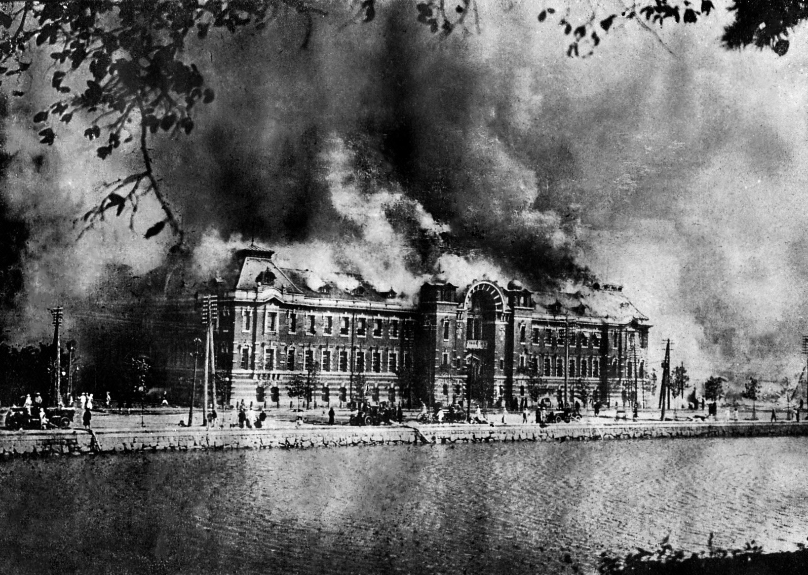
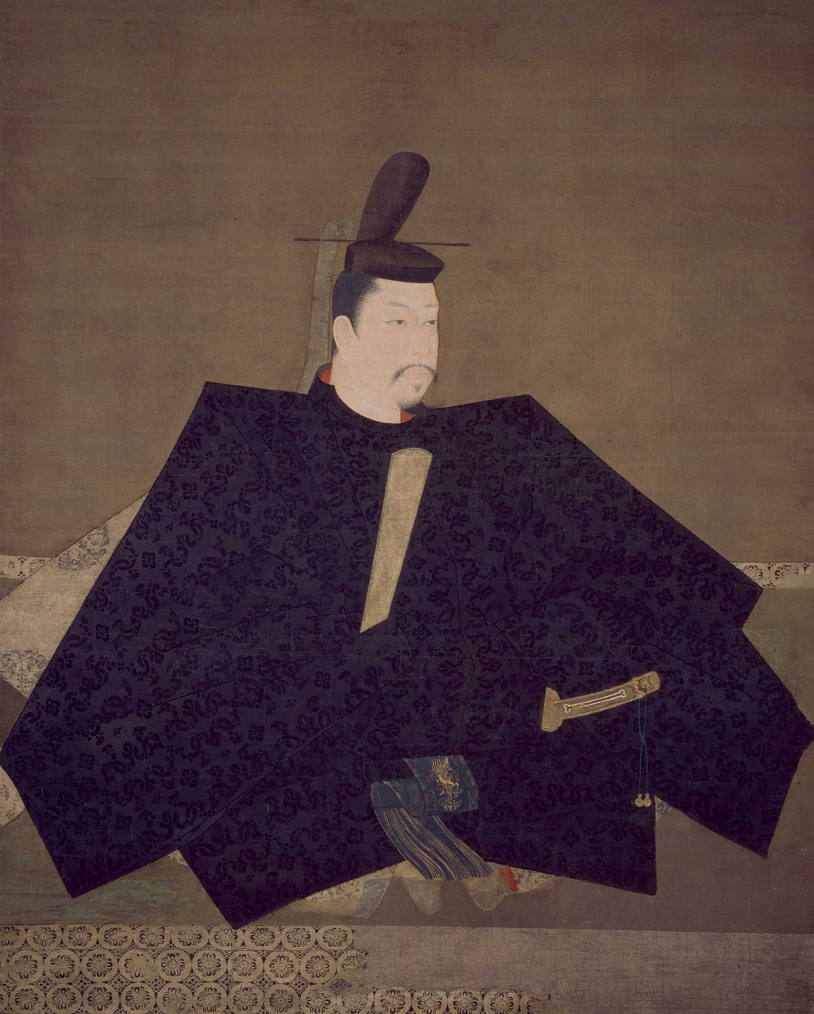
, officially , is a city of Kanagawa Prefecture in Japan. It is located in the Kanto region on the island of Honshu. The city has an estimated population of 172,929 (1 September 2020) and a population density of 4,359 people per km2 over the total area of . Kamakura was designated as a city on 3 November 1939. Kamakura was Japan's '' de facto'' capital when it was the seat of the Kamakura shogunate from 1185 to 1333, established by Minamoto no Yoritomo. It was the first military government in Japan's history. After the downfall of the shogunate, Kamakura saw a temporary decline. However, during the Edo period, it regained popularity as a tourist destination among the townspeople of Edo. Despite suffering significant losses of historical and cultural assets due to the Great Kantō Earthquake in 1923, Kamakura continues to be one of the major tourist attractions in the Kanto region, known for its historical landmarks such as Tsurugaoka Hachimangū and the Great Buddha of Kamaku ... [...More Info...] [...Related Items...] OR: [Wikipedia] [Google] [Baidu] |
Saitama Prefecture
is a Landlocked country, landlocked Prefectures of Japan, prefecture of Japan located in the Kantō region of Honshu. Saitama Prefecture has a population of 7,338,536 (January 1, 2020) and has a geographic area of 3,797 Square kilometre, km2 (1,466 Square mile, sq mi). Saitama Prefecture borders Tochigi Prefecture and Gunma Prefecture to the north, Nagano Prefecture to the west, Yamanashi Prefecture to the southwest, Tokyo to the south, Chiba Prefecture to the southeast, and Ibaraki Prefecture to the northeast. Saitama, Saitama, Saitama is the capital and largest city of Saitama Prefecture, with other major cities including Kawaguchi, Saitama, Kawaguchi, Kawagoe, Saitama, Kawagoe, and Tokorozawa, Saitama, Tokorozawa. History of Kujiki According to ''Sendai Kuji Hongi'' (), Chichibu was one of 137 provinces during the reign of Emperor Sujin. Chichibu Province was in western Saitama. The area that would become Saitama Prefecture in the 19th century is part of Musashi Provinc ... [...More Info...] [...Related Items...] OR: [Wikipedia] [Google] [Baidu] |


