|
Kariega River (Groot River)
The Kariega River () is located in the Eastern Cape province of South Africa. The river begins 24 kilometers west of Grahamstown and is characterized by its intermittent flow. It empties into the Indian Ocean through an estuary. Origin of the name The exact meaning of the Kariega's name is unknown, but it may have originated from the Khoikhoi language. The Khoikhoi were among the first settlers in the Cape region. Although their descendants still live in the area, their language is only spoken in some parts of the Northern Cape. However, many Khoikhoi words are still used for various locations in South Africa, including the Garden Route town of Knysna, meaning "ferns," and the Cango Caves, Cango meaning "wet mountain." Cave paintings found near the river depict local wildlife, including the Steenbok. Other Kariega Rivers In the Eastern Cape, there are three Kariega Rivers. The Kariega and the Beervlei Dam The Kariega River drains into the Beervlei Dam north of Willowmore. ... [...More Info...] [...Related Items...] OR: [Wikipedia] [Google] [Baidu] |
South Africa
South Africa, officially the Republic of South Africa (RSA), is the Southern Africa, southernmost country in Africa. Its Provinces of South Africa, nine provinces are bounded to the south by of coastline that stretches along the Atlantic Ocean, South Atlantic and Indian Ocean; to the north by the neighbouring countries of Namibia, Botswana, and Zimbabwe; to the east and northeast by Mozambique and Eswatini; and it encloses Lesotho. Covering an area of , the country has Demographics of South Africa, a population of over 64 million people. Pretoria is the administrative capital, while Cape Town, as the seat of Parliament of South Africa, Parliament, is the legislative capital, and Bloemfontein is regarded as the judicial capital. The largest, most populous city is Johannesburg, followed by Cape Town and Durban. Cradle of Humankind, Archaeological findings suggest that various hominid species existed in South Africa about 2.5 million years ago, and modern humans inhabited the ... [...More Info...] [...Related Items...] OR: [Wikipedia] [Google] [Baidu] |
Garden Route
The Garden Route (Afrikaans: ''Tuinroete'') is a stretch of the south-eastern coast of South Africa which extends from Witsand in the Western Cape to the border of Tsitsikamma Storms River in the Eastern Cape. The name comes from the verdant and ecologically diverse vegetation encountered here and the numerous estuaries and lakes dotted along the coast. It includes towns such as Witsand, Heidelberg, Riversdale, Stilbaai, Albertinia, Gouritsmond, Knysna, Plettenberg Bay, Mossel Bay, Oudtshoorn, Great Brak River, Little Brak River, Wilderness, Sedgefield and Nature's Valley; with George, the Garden Route's largest city and main administrative centre. It has an oceanic climate, with mild to warm summers, and mild to cool winters. Temperatures rarely fall below 10 °C in winter and rarely climb beyond 28 °C in summer. Rain occurs year-round, with a slight peak in the spring months, brought by the humid sea-winds from the Indian Ocean rising and releasing their p ... [...More Info...] [...Related Items...] OR: [Wikipedia] [Google] [Baidu] |
Somerset East
Somerset East () (renamed KwaNojoli in 2023) is a town in the Blue Crane Route Local Municipality in the Eastern Cape, South Africa. It was founded by Lord Charles Somerset in 1825. The Blue Crane Route follows the national road R63 (South Africa), R63 from Pearston, via Somerset East, to Cookhouse (village), Cookhouse. Somerset East, at the foot of the Boschberg Mountains, is a small town that's known for its natural environment and for its Provincial heritage site (South Africa) , provincial heritage sites and buildings. The forested, mountainous backdrop frames the town (which is within sight of 16 waterfalls after good rains). The wooded Boschberg Nature Reserve is in the area, and has a number of hiking trails. Due to the densely forested mountain, it is advisable to only attempt these with a local familiar with the area. As the route's name suggest, Somerset East is a bird-watching destination - other outdoor adventures include trout fishing on several local dams; both rai ... [...More Info...] [...Related Items...] OR: [Wikipedia] [Google] [Baidu] |
Sundays River
The !Khukaǁgamma or Sundays River () is a river in the Eastern Cape Province of South Africa. It is said to be the fastest flowing river in the country. The Inqua Khoi people, who historically were the wealthiest group in Southern Africa, originally named this river because the river's banks are always green and grassy despite the arid terrain that it runs through. Presently this river is part of the Fish to Tsitsikamma Water Management Area. Course The source of the long Sundays River is in the Sneeuberge (the highest mountain range in the former Cape Province) near Nieu-Bethesda. The river then flows in a general South/Southeasterly direction, passing the town Graaff-Reinet in the Karoo before winding its way through the Zuurberg Mountains and then past Kirkwood, Eastern Cape, Kirkwood and Addo in the fertile Sundays River Valley. It empties into the Indian Ocean at Algoa Bay after flowing through the village of Colchester, Eastern Cape, Colchester, 40 km east of the ... [...More Info...] [...Related Items...] OR: [Wikipedia] [Google] [Baidu] |
Willowmore
Willowmore is a town in Sarah Baartman District Municipality in the Eastern Cape province of South Africa. Willowmore is situated 140 km north-east of the town of Knysna and 117 km south-west of Aberdeen Aberdeen ( ; ; ) is a port city in North East Scotland, and is the List of towns and cities in Scotland by population, third most populous Cities of Scotland, Scottish city. Historically, Aberdeen was within the historic county of Aberdeensh .... It was laid out in 1862 on the farm The Willows. It is uncertain whether the name is derived from this farm name and that of its owner, William Moore, or from the maiden name of Petronella Catharina Lehmkuhl and a willow-tree near her house. References Populated places in the Dr Beyers Naudé Local Municipality Populated places established in 1862 1862 establishments in the Cape Colony {{EasternCape-geo-stub ... [...More Info...] [...Related Items...] OR: [Wikipedia] [Google] [Baidu] |
Beervlei Dam
Beervlei Dam is a dam across the Groot River, Eastern Cape, South Africa. Established in 1957, it has the capacity of , and a surface area of , and the dam wall is 31 m high. The main purpose of the dam is to provide flood absorption. The Karoo sediments in the area contain a lot of salts and it has been found that lengthy storage of water results in high water salinity. Any flood water is used as quickly as possible by the downstream irrigators and the reservoir is kept empty for extended periods. See also *List of reservoirs and dams in South Africa *List of rivers in South Africa References List of South African Damsfrom the Department of Water Affairs and Forestry (South Africa) Department may refer to: * Departmentalization, division of a larger organization into parts with specific responsibility Government and military * Department (administrative division), a geographical and administrative division within a country, ... Dams in South Africa Dams completed in 195 ... [...More Info...] [...Related Items...] OR: [Wikipedia] [Google] [Baidu] |
Steenbok
The steenbok (''Raphicerus campestris'') is a common small antelope of southern and eastern Africa. It is sometimes known as the steinbuck or steinbok. Description Steenbok resemble small oribi, standing 45–60 cm (16"–24") at the shoulder, and weigh 7-16 kg. Their coat is any shade from fawn to rufous, typically rather orange. The underside, including chin and throat, is white, as is the ring around the eye. Ears are large with "finger-marks" on the inside. Males have straight, smooth, parallel horns 7–19 cm long (see image left). There is a black crescent-shape between the ears, a long black bridge to the glossy black nose, and a black circular scent-gland in front of the eye. The tail is not usually visible, being only 4–6 cm long. Distribution There are two distinct clusters in steenbok distribution. In East Africa, it occurs in central and southern Kenya and northern Tanzania. It was formerly widespread in Uganda, but is now almost certai ... [...More Info...] [...Related Items...] OR: [Wikipedia] [Google] [Baidu] |
Cango Caves
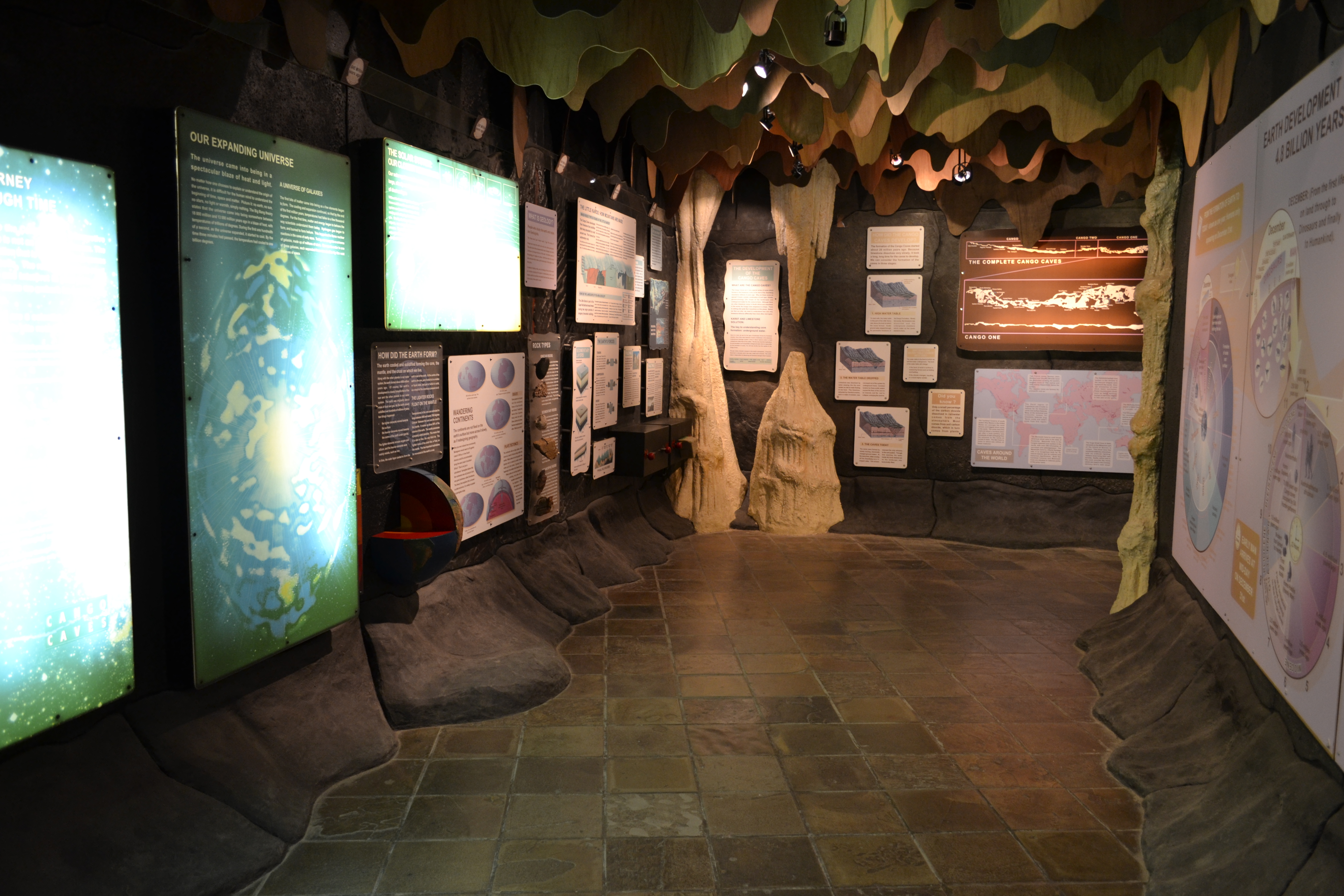
The Cango Caves are located in Precambrian limestones at the foothills of the Swartberg range near the town of Oudtshoorn, in the Western Cape Province of South Africa. The principal cave is one of the country's finest, best known, and most popular tourist caves and attracts many visitors from overseas. Although the extensive system of tunnels and chambers go on for over , only about a quarter of this is open to visitors, who may proceed into the cave only in groups supervised by a guide. History Cave paintings and artifacts indicate that the caves were in use throughout prehistory over a long period during the Middle and Later Stone Ages.Goodwin, A.J.H. 1930. The chronology of the Mossel Bay Industry. ''South African Journal of Science''. 27:562-72 The caves were rediscovered in modern times in 1780 by a local farmer named Jacobus Van Zyl.Henry Hall, 1859''Manual of South African Geography: Forming a Companion to the Map of South Africa to 16° South Latitude.''Cape Town: S. ... [...More Info...] [...Related Items...] OR: [Wikipedia] [Google] [Baidu] |
Knysna
Knysna (; ) is a town with 76,150 inhabitants (2019 mid-year estimates) in the Western Cape province of South Africa. It is one of the destinations on the loosely defined Garden Route tourist route. It is situated 60 kilometres east of the city of George on the N2 highway, and 33 kilometres west of the Plettenberg Bay on the same road. Etymology A number of explanations exist for the origins of the name "Knysna" – including ''xthys xna'', purportedly from a Khoekhoe language term that might have meant "place of timber", "place of ferns", or even "straight down" (referring to the cliffs at The Heads). However, it is also likely that the name is related to, or a derivative of, similar place names that do or have existed in other parts of Africa. In colonial times Lake Malawi was known as Lake Nyasa (very similar to "Knysna"), while ''Webster's Universal Unabridged Dictionary'' defines the word "nyanza" as a noun: "(African): An expanse of water, as a lake or wide river" ... [...More Info...] [...Related Items...] OR: [Wikipedia] [Google] [Baidu] |
Northern Cape
The Northern Cape ( ; ; ) is the largest and most sparsely populated Provinces of South Africa, province of South Africa. It was created in 1994 when the Cape Province was split up. Its capital is Kimberley, South Africa, Kimberley. It includes the Kalahari Gemsbok National Park, part of the Kgalagadi Transfrontier Park and an Transboundary Protected Area, international park shared with Botswana. It also includes the Augrabies Falls and the diamond mining regions in Kimberley and Alexander Bay, Northern Cape, Alexander Bay. The Namaqualand region in the west is famous for its Dimorphotheca sinuata, Namaqualand daisies. The southern towns of De Aar and Colesberg found within the Great Karoo are major transport nodes between Johannesburg, Cape Town and Gqeberha. Kuruman can be found in the north-east and is known as a Mission (station), mission station. It is also well known for its artesian spring and Eye of Kuruman. The Orange River flows through the province, forming the borders ... [...More Info...] [...Related Items...] OR: [Wikipedia] [Google] [Baidu] |
Provinces Of South Africa
South Africa is divided into nine provinces. On the eve of the 1994 South African general election, 1994 general election, South Africa's former homelands, known as Bantustans, were reintegrated into the country, and the four provinces were increased to nine. The borders of Natal (province), Natal and the Orange Free State were retained, while the Cape Province and Transvaal (province), Transvaal were divided into three provinces each, plus North West Province which straddles the border of and contains territory from both these two former provinces. The twelfth, thirteenth and sixteenth amendments to the Constitution of South Africa changed the borders of seven of the provinces. History The Union of South Africa was established in 1910 by combining four British colonies: Cape Colony; Natal Colony; Transvaal Colony; Orange River Colony. The last two were, before the Second Boer War, independent republics known as the South African Republic and the Orange Free State. These coloni ... [...More Info...] [...Related Items...] OR: [Wikipedia] [Google] [Baidu] |
Khoekhoe
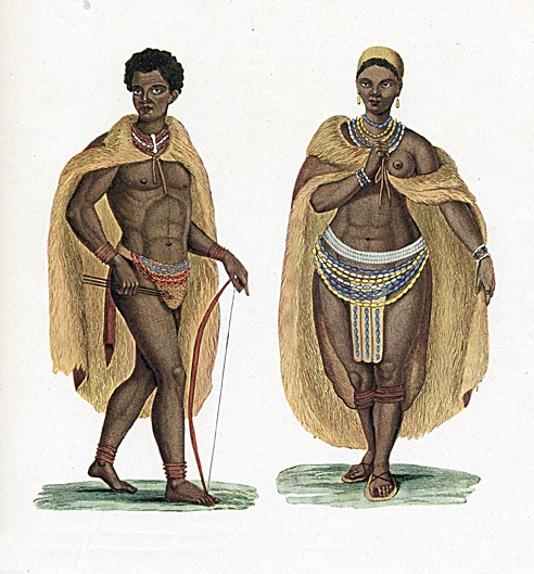
Khoikhoi ( /ˈkɔɪkɔɪ/ ''KOY-koy'') (or Khoekhoe in Namibian orthography) are the traditionally nomadic pastoralist indigenous population of South Africa. They are often grouped with the hunter-gatherer San (literally "foragers") peoples, the accepted term for the two people being Khoisan. The designation "Khoikhoi" is actually a ''kare'' or praise address, not an ethnic endonym, but it has been used in the literature as an ethnic term for Khoe-speaking peoples of Southern Africa, particularly pastoralist groups, such as the Inqua, Griqua, Gonaqua, Nama, Attequa. The Khoekhoe were once known as '' Hottentots'', a term now considered offensive."Hottentot, n. and adj." ''OED Online'', Oxford University Press, March 2018, www.oed.com/view/Entry/88829. Accessed 13 May 2018. Citing G. S. Nienaber, 'The origin of the name "Hottentot" ', ''African Studies'', 22:2 (1963), 65–90, . See also . The Khoekhoe are thought to have diverged from other humans 100,000 to 2 ... [...More Info...] [...Related Items...] OR: [Wikipedia] [Google] [Baidu] |


