|
KRI Tanjung Kambani (971)
KRI ''Tanjung Kambani'' (971) is a troopship of the Indonesian Navy. She was built in 1982 as ro-ro ferry and previously named ''Kobe Maru'', ''Car Ferry Cheju No.2'' and ''Dong Yang Express Ferry No.6''. Development and design KRI ''Tanjung Kambani'' was an ordinary roll on/roll off ferry designed to carry passengers which was later modified into a personnel carrier and entered the ranks of the warships of the Republic of Indonesia. KRI ''Tanjung Kambani'' has a length of 114.50 meters and a width of 19.80 meters and a depth of 6.00 meters. The personnel carrier ship with a dead weight of 7,138.9 tons has a maximum speed of 13 knots with the number of crew members according to the DSPP (List of Equipment and Personnel Arrangements) of 119 people. Meanwhile, the ideal carrying capacity of KRI ''Tanjung Kambani'' is with a bed capacity of 460 people, 6.8 tons helicopter, 20.83 tons cargo with an endurance of 15 days. Under certain conditions, ''Tanjung Kambani'' can carry 1500 pe ... [...More Info...] [...Related Items...] OR: [Wikipedia] [Google] [Baidu] |
Cape (geography)
In geography, a cape is a headland or a promontory of large size extending into a body of water, usually the sea.Whittow, John (1984). ''Dictionary of Physical Geography''. London: Penguin, 1984, p. 80. . A cape usually represents a marked change in trend of the coastline, often making them important landmarks in sea navigation. This also makes them prone to natural forms of erosion Erosion is the action of surface processes (such as water flow or wind) that removes soil, rock, or dissolved material from one location on the Earth's crust, and then transports it to another location where it is deposited. Erosion is di ..., mainly tidal actions, which results in them having a relatively short geological lifespan. Capes can be formed by glaciers, volcanoes, and changes in sea level. Erosion plays a large role in each of these methods of formation. List of some well-known capes Gallery File:Cape Cornwall.jpg, Cape Cornwall, England File:Nasa photo cape fear.jp ... [...More Info...] [...Related Items...] OR: [Wikipedia] [Google] [Baidu] |
Indonesian Navy
The Indonesian Navy ( id, Tentara Nasional Indonesia Angkatan Laut, , Indonesian National Military-Naval Force, TNI-AL) is the naval branch of the Indonesian National Armed Forces. It was founded on 10 September 1945 and has a role to patrol Indonesia's lengthy coastline, to enforce and patrol the territorial waters and Exclusive Economic Zone (EEZ) of Indonesia, to protect Indonesia's maritime strategic interests, to protect the islands surrounding Indonesia, and to defend against seaborne threats. The Navy is headed by the Chief of Staff of the Navy ( – KSAL or KASAL). The Indonesian Navy consists of three major fleets known as "Armada", which are (1st Fleet Command) located in Jakarta, (2nd Fleet Command) located in Surabaya, (3rd Fleet Command) located in Sorong, and one (Military Sealift Command). The Navy also heads the Marine Corps. All commissioned ships of the TNI-AL have the prefix ''KRI'', standing for (''Republic of Indonesia Ship'') and ''KAL'', standin ... [...More Info...] [...Related Items...] OR: [Wikipedia] [Google] [Baidu] |
East Nusa Tenggara
East Nusa Tenggara ( id, Nusa Tenggara Timur – NTT; pt, Sonda Oriental) is the southernmost province of Indonesia. It comprises the eastern portion of the Lesser Sunda Islands, facing the Indian Ocean in the south and the Flores Sea in the north. It consists of more than 500 islands, with the largest ones being Sumba, Flores, and the western part of Timor; the latter shares a land border with the separate nation of East Timor. The province is subdivided into twenty-one regencies and the regency-level city of Kupang, which is the capital and largest city. A Christian-majority region, East Nusa Tenggara is the only Indonesian province where Roman Catholicism is the predominant religion. The province has a total area of 47,931.54 km2 and a population of 5,325,566 at the 2020 Census; the official estimate as at mid 2021 was 5,387,738. Economically, East Nusa Tenggara still remains one of the least developed provinces in Indonesia. It currently focuses on expanding the tour ... [...More Info...] [...Related Items...] OR: [Wikipedia] [Google] [Baidu] |
Ship Commissioning
Ship commissioning is the act or ceremony of placing a ship in active service and may be regarded as a particular application of the general concepts and practices of project commissioning. The term is most commonly applied to placing a warship in active duty with its country's military forces. The ceremonies involved are often rooted in centuries-old naval tradition. Ship naming and launching endow a ship hull with her identity, but many milestones remain before she is completed and considered ready to be designated a commissioned ship. The engineering plant, weapon and electronic systems, galley, and other equipment required to transform the new hull into an operating and habitable warship are installed and tested. The prospective commanding officer, ship's officers, the petty officers, and seamen who will form the crew report for training and familiarization with their new ship. Before commissioning, the new ship undergoes sea trials to identify any deficiencies needing c ... [...More Info...] [...Related Items...] OR: [Wikipedia] [Google] [Baidu] |
Transport Ship
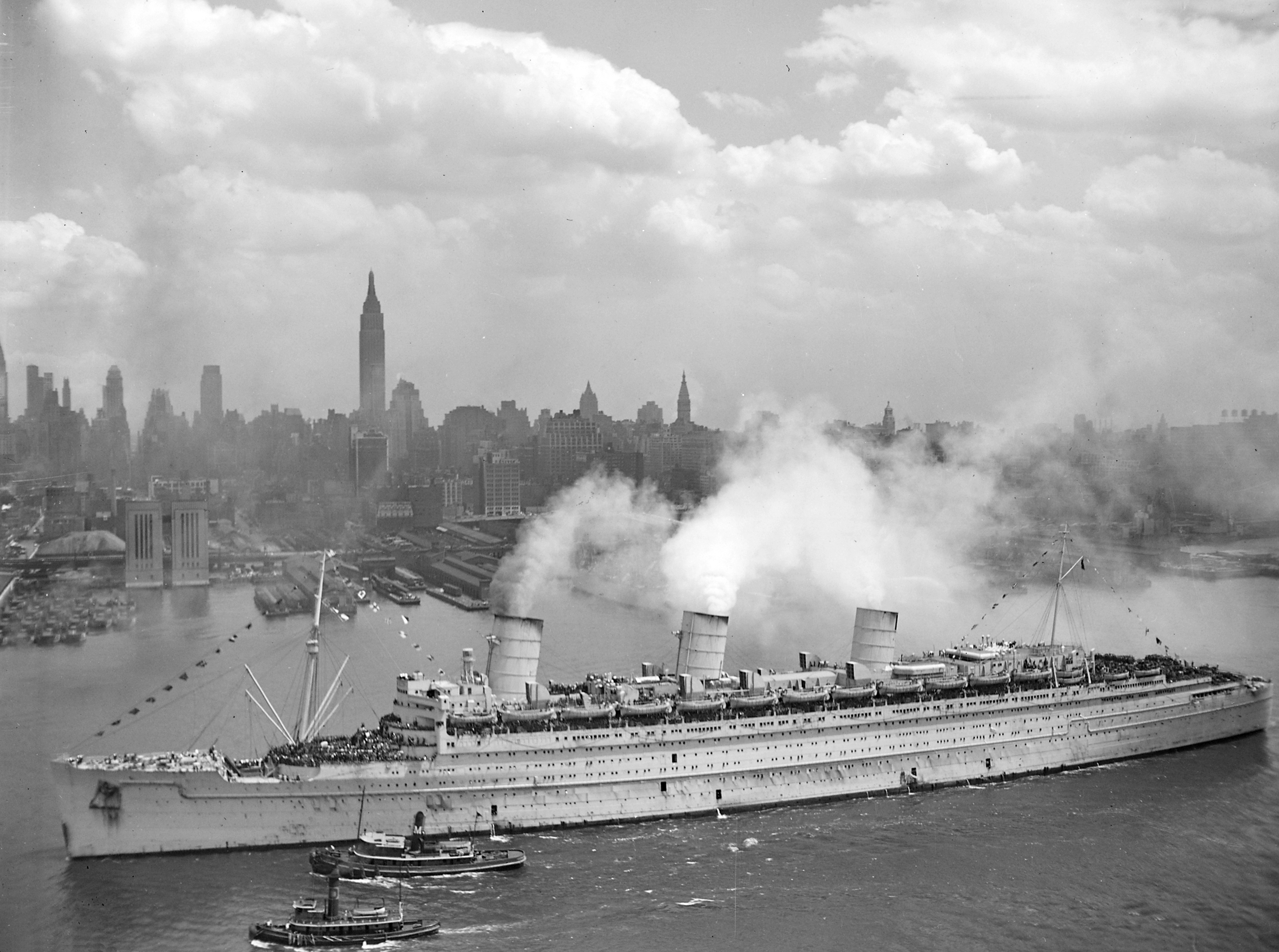
A troopship (also troop ship or troop transport or trooper) is a ship used to carry soldiers, either in peacetime or wartime. Troopships were often drafted from commercial shipping fleets, and were unable land troops directly on shore, typically loading and unloading at a seaport or onto smaller vessels, either tenders or barges. Attack transports, a variant of ocean-going troopship adapted to transporting invasion forces ashore, carry their own fleet of landing craft. Landing ships beach themselves and bring their troops directly ashore. History Ships to transport troops were used in Antiquity. Ancient Rome used the navis lusoria, a small vessel powered by rowers and sail, to move soldiers on the Rhine and Danube. The modern troopship has as long a history as passenger ships do, as most maritime nations enlisted their support in military operations (either by leasing the vessels or by impressing them into service) when their normal naval forces were deemed insufficient for ... [...More Info...] [...Related Items...] OR: [Wikipedia] [Google] [Baidu] |
South Korea
South Korea, officially the Republic of Korea (ROK), is a country in East Asia, constituting the southern part of the Korea, Korean Peninsula and sharing a Korean Demilitarized Zone, land border with North Korea. Its western border is formed by the Yellow Sea, while its eastern border is defined by the Sea of Japan. South Korea claims to be the sole legitimate government of the entire peninsula and List of islands of South Korea, adjacent islands. It has a Demographics of South Korea, population of 51.75 million, of which roughly half live in the Seoul Capital Area, the List of metropolitan areas by population, fourth most populous metropolitan area in the world. Other major cities include Incheon, Busan, and Daegu. The Korean Peninsula was inhabited as early as the Lower Paleolithic period. Its Gojoseon, first kingdom was noted in Chinese records in the early 7th century BCE. Following the unification of the Three Kingdoms of Korea into Unified Silla, Silla and Balhae in the ... [...More Info...] [...Related Items...] OR: [Wikipedia] [Google] [Baidu] |
Takamatsu, Kagawa
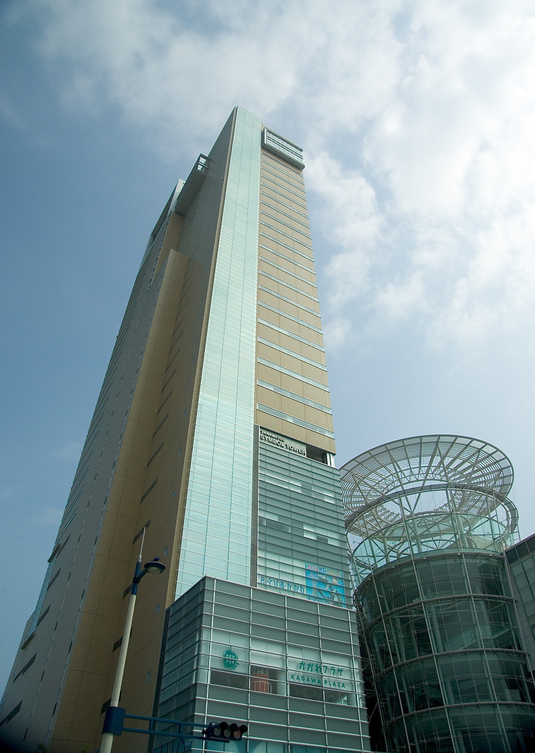
270px, Takamatsu City Hall 270px, Aerial view of Takamatsu city center 270px, View from Yashima to Takashima port is a city located in Kagawa Prefecture, Japan. , the city had an estimated population of 414,134 in 190120 households and a population density of 1100 persons per km². The total area of the city is . It is the capital city of the prefecture. Geography Takamatsu is located in central Kagawa Prefecture on the island of Shikoku. The city is located in the Takamatsu Plain, which is part of the Sanuki Plain, and is occupied by a gentle slope as a whole. The northern part faces the Seto Inland Sea, forming a semicircular urban area centered on Takamatsu Port and Takamatsu New Port (commonly known as Shinminato).The western part of the city consists of an alluvial fan formed by the sedimentation of the Koto River. The eastern part is a flooded plain formed by the Kasuga River and Shinkawa River. In the northeastern part of the island, there is Yashima, a table-shaped pla ... [...More Info...] [...Related Items...] OR: [Wikipedia] [Google] [Baidu] |
Port Of Kobe
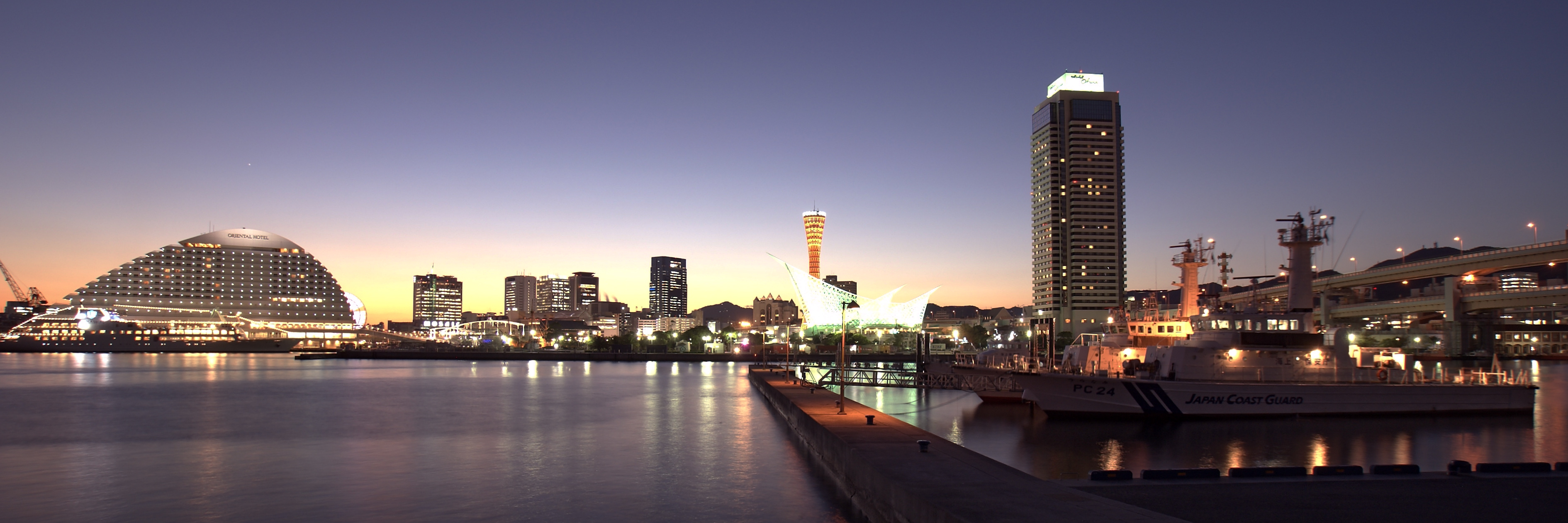
The Port of Kobe is a Japanese maritime port in Kobe, Hyōgo in the Keihanshin area, backgrounded by the Hanshin Industrial Region. Located at a foothill of the range of Mount Rokkō, flat lands are limited and constructions of artificial islands have carried out, to make Port Island, Rokkō Island, island of Kobe Airport to name some. History In the 10th century, Taira no Kiyomori renovated the then and moved to , the short-lived capital neighbouring the port. Throughout medieval era, the port was known as . In 1858 the Treaty of Amity and Commerce opened the Hyōgo Port to foreigners. After the World War II pillars were occupied by the Allied Forces, later by United States Forces Japan. (Last one returned in 1973.) In the 1970s the port boasted it handled the most containers in the world. It was the world's busiest container port from 1973 to 1978. The 1995 Great Hanshin earthquake diminished much of the port city's prominence when it destroyed and halted much of the ... [...More Info...] [...Related Items...] OR: [Wikipedia] [Google] [Baidu] |
Japan
Japan ( ja, 日本, or , and formally , ''Nihonkoku'') is an island country in East Asia. It is situated in the northwest Pacific Ocean, and is bordered on the west by the Sea of Japan, while extending from the Sea of Okhotsk in the north toward the East China Sea, Philippine Sea, and Taiwan in the south. Japan is a part of the Ring of Fire, and spans an archipelago of 6852 islands covering ; the five main islands are Hokkaido, Honshu (the "mainland"), Shikoku, Kyushu, and Okinawa. Tokyo is the nation's capital and largest city, followed by Yokohama, Osaka, Nagoya, Sapporo, Fukuoka, Kobe, and Kyoto. Japan is the eleventh most populous country in the world, as well as one of the most densely populated and urbanized. About three-fourths of the country's terrain is mountainous, concentrating its population of 123.2 million on narrow coastal plains. Japan is divided into 47 administrative prefectures and eight traditional regions. The Greater Tokyo Ar ... [...More Info...] [...Related Items...] OR: [Wikipedia] [Google] [Baidu] |
Ceremonial Ship Launching
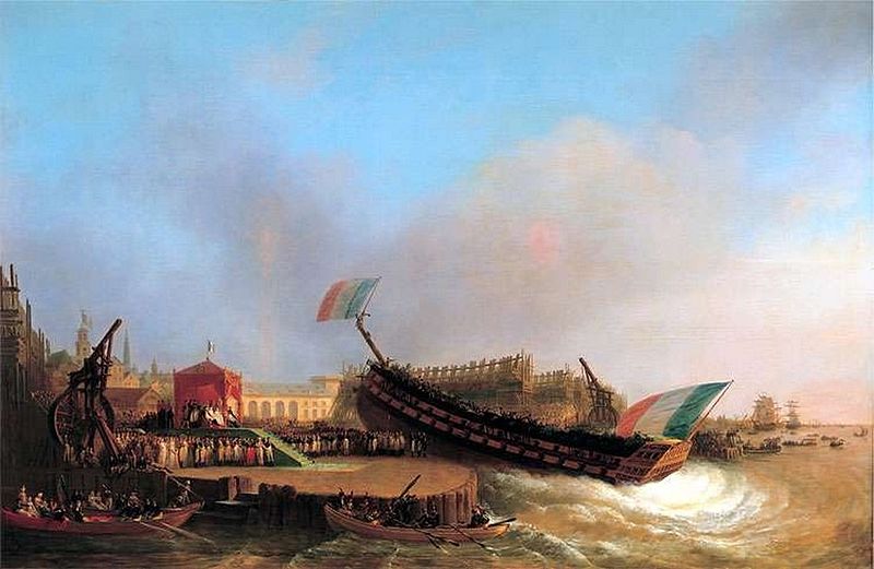
Ceremonial ship launching involves the performance of ceremonies associated with the process of transferring a vessel to the water. It is a nautical tradition in many cultures, dating back thousands of years, to accompany the physical process with ceremonies which have been observed as public celebration and a solemn blessing, usually but not always, in association with the launch itself. Ship launching imposes stresses on the ship not met during normal operation and, in addition to the size and weight of the vessel, represents a considerable engineering challenge as well as a public spectacle. The process also involves many traditions intended to invite good luck, such as christening by breaking a sacrificial bottle of champagne over the bow (ship), bow as the ship is named aloud and launched. Methods There are three principal methods of conveying a new ship from building site to water, only two of which are called "launching". The oldest, most familiar, and most widel ... [...More Info...] [...Related Items...] OR: [Wikipedia] [Google] [Baidu] |
Operation Trikora
Operation Trikora was an Indonesian military operation which aimed to seize and annex the Dutch overseas territory of Netherlands New Guinea in 1961 and 1962. After negotiations, the Netherlands signed the New York Agreement with Indonesia on 15 August 1962, relinquishing control of Western New Guinea to the United Nations. Background When the rest of the Dutch East Indies became fully independent as Indonesia in December 1949, the Dutch retained sovereignty over the western part of the island of New Guinea and took steps to prepare it for independence as a separate country. The Dutch and some West Papuan leaders argued that the territory did not belong to Indonesia because the West Papuans were ethnically and geographically separated from Indonesians, had always been administrated separately, and that the West Papuans did not want to be under Indonesian control.Ron Crocombe, 282 From its independence in 1949 until 1961, Indonesia attempted to gain control of Western N ... [...More Info...] [...Related Items...] OR: [Wikipedia] [Google] [Baidu] |
Central Sulawesi
Central Sulawesi (Indonesian: ''Sulawesi Tengah'') is a province of Indonesia located at the centre of the island of Sulawesi. The administrative capital and largest city is located in Palu. The 2010 census recorded a population of 2,635,009 for the province, and the 2020 Census recorded 2,985,734, of whom 1,534,706 were male and 1,451,028 were female. The official estimate as at mid 2021 was 3,021,879. Central Sulawesi has an area of , the largest area among all provinces on Sulawesi Island, and has the second-largest population on Sulawesi Island after the province of South Sulawesi. It is bordered by the provinces of Gorontalo to the north, West Sulawesi, South Sulawesi and South East Sulawesi to the south, by Maluku to the east, and by the Makassar Strait to the west. The province is inhabited by many ethnic groups, such as the Kaili, Tolitoli, etc. The official language of the province is Indonesian, which is used for official purposes and inter-ethnic communication, whil ... [...More Info...] [...Related Items...] OR: [Wikipedia] [Google] [Baidu] |


_underway_2009.jpg)


