|
Joseph Glidden
Joseph Farwell Glidden (January 18, 1813 – October 9, 1906) was an American businessman and farmer. He was the inventor of the modern barbed wire. In 1898, he donated land for the Northern Illinois State Normal School in DeKalb, Illinois, which was renamed as Northern Illinois University in 1957. Early life Glidden was born in Charlestown, New Hampshire, of English American, English descent. His family later moved to Clarendon, New York. Glidden was a teacher there for about 8 years, during which years he married Clarissa Foster in 1837. In 1843, he moved to Illinois with his wife and children, first to Ogle County and then to DeKalb where they had purchased a farm. His wife died in 1846, in childbirth of their daughter in Ogle County, Illinois. Their three children, including the infant daughter Clara (Clarissa) died in an epidemic in 1847. Their two sons died after the move. Glidden married Lucinda Warne in 1851, with whom he had one daughter, Elva Frances. Invention and pa ... [...More Info...] [...Related Items...] OR: [Wikipedia] [Google] [Baidu] |
Charlestown, New Hampshire
Charlestown is a town in Sullivan County, New Hampshire, United States. The population was 4,806 at the 2020 census, down from 5,114 at the 2010 census. The town is home to Hubbard State Forest and the headquarters of the Student Conservation Association. The primary village in town, where 1,078 people resided at the 2020 census, is defined as the Charlestown census-designated place (CDP) and is located along New Hampshire Route 12. The town also includes the villages of North Charlestown, South Charlestown and Hemlock Center. History The area was first granted on December 31, 1735,Article i''Statistics and Gazetteer of New-Hampshire'' (1875)/ref> by colonial governor Jonathan Belcher of Massachusetts as "Plantation No. 4", the fourth in a line of townships on the Connecticut River. Settled in 1740, it was the northernmost township, and its 1744 stockade now known as Fort at Number 4 became a strategic military site. On the evening of May 2, 1746, Seth Putnam joined Major ... [...More Info...] [...Related Items...] OR: [Wikipedia] [Google] [Baidu] |
Illinois State Senator
The Illinois Senate is the upper chamber of the Illinois General Assembly, the legislative branch of the government of the State of Illinois in the United States. The body was created by the first state constitution adopted in 1818. Under the Illinois Constitution of 1970, the Illinois Senate is made up of 59 senators elected from individual legislative districts determined by population and redistricted every 10 years; based on the 2020 U.S. census each senator represents approximately 213,347 people. Senate districts are divided into three groups, each group having a two-year term at a different part of the decade between censuses, with the rest of the decade being taken up by two four-year terms. For example, group one elects senators for terms of four years, four years and two years, group two elects senators for terms of four years, two years and four years, and group three elects senators for terms of two years, four years and four years. This ensures that the Senate ... [...More Info...] [...Related Items...] OR: [Wikipedia] [Google] [Baidu] |
Comanchero
The Comancheros were a group of 18th- and 19th-century Merchant, traders based in northern and central New Mexico. They made their living by trading with the nomadic Great Plains Native Americans in the United States, Indian tribes in northeastern New Mexico, West Texas, and other parts of the southern plains of North America. The name "Comancheros" comes from the Comanche tribe, in whose territory they traded. They traded manufactured goods (tools and cloth), flour, tobacco, and bread for Hide (skin), hides, livestock, and slavery, slaves from the Comanche. As the Comancheros did not have regular access to weapons and gunpowder, disagreement exists about how much they traded these with the Comanche. History Prior to the coming of the Spanish, with their horses, into the American Southwest, with early explorations beginning in the 1540s and permanent settlement in the late 1590s, the people who came to be known as Comanches did not live in the Southern High Plains. The Comanche ... [...More Info...] [...Related Items...] OR: [Wikipedia] [Google] [Baidu] |
Randall County, Texas
Randall County is a county located in the U.S. state of Texas. As of the 2020 census, its population was 140,753. Its county seat is Canyon. The county was created in 1876 and later organized in 1889. It is named for Horace Randal, a Confederate brigadier general killed at the Battle of Jenkins Ferry. The reason the county name differs from his is because the bill creating the county misspelled Randal's name. Randall County, alongside adjacent Potter County is part of the Amarillo metropolitan statistical area. At one time, the large JA Ranch, founded by Charles Goodnight and John George Adair, which reached into six counties, held acreage in Randall County. Geography According to the U.S. Census Bureau, the county has a total area of , of which (1.2%) are covered by water. Palo Duro Canyon, the second-largest canyon in the United States, is located in Randall County. Major highways * Interstate 27 * U.S. Highway 60 * U.S. Highway 87 * State Highway 217 ... [...More Info...] [...Related Items...] OR: [Wikipedia] [Google] [Baidu] |
Dallas
Dallas () is a city in the U.S. state of Texas and the most populous city in the Dallas–Fort Worth metroplex, the List of Texas metropolitan areas, most populous metropolitan area in Texas and the Metropolitan statistical area, fourth-most populous metropolitan area in the United States at 7.5 million people. It is the most populous city in and the county seat, seat of Dallas County, Texas, Dallas County, covering nearly 386 square miles into Collin County, Texas, Collin, Denton County, Texas, Denton, Kaufman County, Texas, Kaufman, and Rockwall County, Texas, Rockwall counties. With a 2020 United States census, 2020 census population of 1,304,379, it is the List of United States cities by population, ninth-most populous city in the U.S. and the List of cities in Texas by population, third-most populous city in Texas after Houston and San Antonio. Located in the North Texas region, the city of Dallas is the main core of the largest metropolitan area in the Southern Unite ... [...More Info...] [...Related Items...] OR: [Wikipedia] [Google] [Baidu] |
Grayson County, Texas
Grayson County is a County (United States), county in the U.S. state of Texas. As of the 2020 United States census, 2020 census, its population was 135,543. The county seat is Sherman, Texas, Sherman. The county was founded in 1846 and is named after Peter Wagener Grayson, an attorney general of the Republic of Texas. Grayson County is included in the Sherman-Denison, Texas, Denison Sherman-Denison Metropolitan Statistical Area, metropolitan statistical area, which is also included in the Dallas-Fort Worth, Texas, Fort Worth-Arlington, Texas, Arlington, Dallas–Fort Worth Metroplex#Combined Statistical Area, combined statistical area. Located on the state's border with Oklahoma, it is part of the Texoma region, with proximity to Lake Texoma and the Red River of the South, Red River. History The earliest known inhabitants of what is now Grayson County were Caddo Amerindian groups, including Tonkawa, Ionis, and Kichai people, Kichai. These groups engaged in agriculture and trad ... [...More Info...] [...Related Items...] OR: [Wikipedia] [Google] [Baidu] |
Canadian River
The Canadian River is the longest tributary of the Arkansas River in the United States. It is about long, starting in Colorado and traveling through New Mexico, the Texas Panhandle, and Oklahoma. The drainage area is about .Dianna Everett, "Canadian River." ''Encyclopedia of Oklahoma History and Culture''. Retrieved October 7, 2013. The Canadian is sometimes referred to as the South Canadian River to differentiate it from the that flows into it. Etymology On |
Palo Duro Canyon
Palo Duro Canyon is a canyon system of the Caprock Escarpment located in the Texas Panhandle near the cities of Amarillo and Canyon. The second largest canyon system in the United States, it is roughly long and has an average width of , but reaches a width of at places. Its depth is around , but in some locations, valley bottom to surrounding hills increases to . Palo Duro Canyon (from the Spanish meaning "hard stick") has been named "The Grand Canyon of Texas" both for its size and for its dramatic geological features, including the multicolored layers of rock and steep mesa walls, which are similar to those in the Grand Canyon. It is part of Palo Duro Canyon State Park. The State Park had 442,242 visitors in 2022. Geology The canyon was formed by the Prairie Dog Town Fork Red River, which initially winds along the level surface of the Llano Estacado of West Texas, then suddenly and dramatically runs off the Caprock Escarpment. Water erosion over the millennia has sh ... [...More Info...] [...Related Items...] OR: [Wikipedia] [Google] [Baidu] |
Kansas
Kansas ( ) is a landlocked U.S. state, state in the Midwestern United States, Midwestern region of the United States. It borders Nebraska to the north; Missouri to the east; Oklahoma to the south; and Colorado to the west. Kansas is named after the Kansas River, in turn named after the Kaw people, Kansa people. Its List of capitals in the United States, capital is Topeka, Kansas, Topeka, and its List of cities in Kansas, most populous city is Wichita, Kansas, Wichita; however, the largest urban area is the bi-state Kansas City metropolitan area split between Kansas and Missouri. For thousands of years, what is now Kansas was home to numerous and diverse Plains Indians, Indigenous tribes. The first settlement of non-indigenous people in Kansas occurred in 1827 at Fort Leavenworth. The pace of settlement accelerated in the 1850s, in the midst of political wars over the Slavery in the United States, slavery debate. When it was officially opened to settlement by the U.S. governm ... [...More Info...] [...Related Items...] OR: [Wikipedia] [Google] [Baidu] |
Dodge City
Dodge City is a city in and the county seat of Ford County, Kansas, United States. As of the 2020 census, the population of the city was 27,788. It was named after nearby Fort Dodge, which was named in honor of Grenville Dodge. The city is known in American culture for its history as a wild frontier town of the Old West. History The first settlement in the area that became Dodge City was Fort Mann, built by civilians in 1847. The fort was built to provide protection for travelers on the Santa Fe Trail. Fort Mann collapsed in 1848 after an attack by Natives. In 1850, the U.S. Army arrived to provide protection in the region and constructed Fort Atkinson on the old Fort Mann site. The army abandoned Fort Atkinson in 1853. Military forces on the Santa Fe Trail were re-established farther north and east at Fort Larned in 1859, but the area remained vacant around what would become Dodge City until the end of the Civil War. In April 1865, the American Frontier Wars in th ... [...More Info...] [...Related Items...] OR: [Wikipedia] [Google] [Baidu] |
Amarillo, Texas
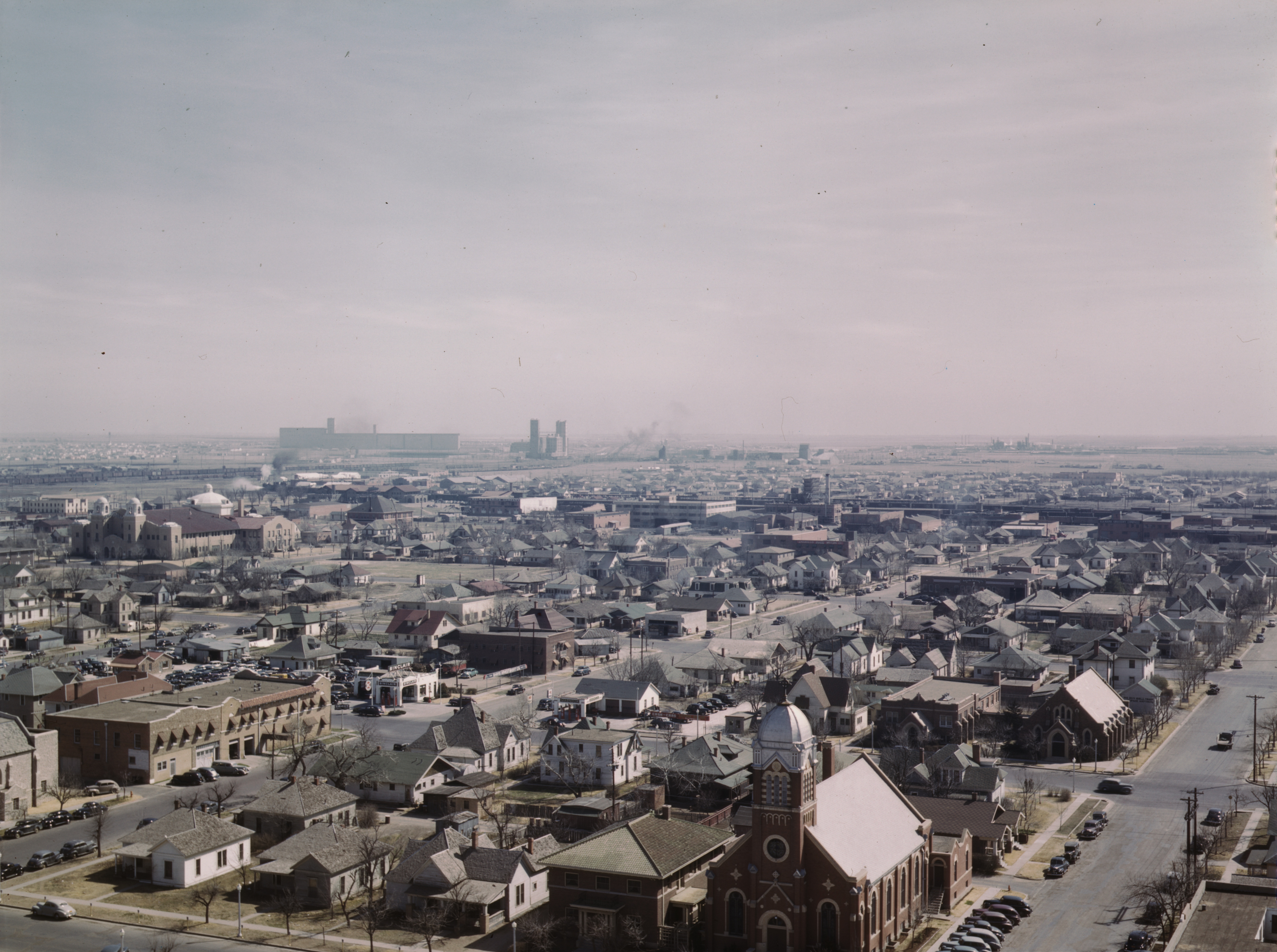
Amarillo ( ; Spanish language, Spanish for "yellow") is a city in the U.S. state of Texas and the county seat of Potter County, Texas, Potter County, though most of the southern half of the city extends into Randall County, Texas, Randall County. It is the List of cities in Texas by population, 16th-most populous city in Texas and the most populous city in the Texas panhandle. The estimated population of Amarillo was 200,393 as of April 1, 2020, comprising nearly half of the panhandle's population. The Amarillo metropolitan area had an estimated population of 308,297 as of 2020. The city of Amarillo, originally named Oneida, is situated in the Llano Estacado region.Rathjen, Fredrick W. ''The Texas Panhandle Frontier'' (1973). pg. 11. The University of Texas Press. . The availability of the railroad and freight service provided by the Fort Worth and Denver Railway contributed to the city's growth as a cattle-marketing center in the late 19th century.. Retrieved on January 25, 2007 ... [...More Info...] [...Related Items...] OR: [Wikipedia] [Google] [Baidu] |
Potter County, Texas
Potter County is a county located in the U.S. state of Texas. As of the 2020 census, its population was 118,525. Its county seat is Amarillo. The county was created in 1876 and organized in 1887. It is named for Robert Potter, a politician and signer of the Texas Declaration of Independence and the Texas Secretary of the Navy. Potter County is included in the Amarillo metropolitan area. History LX Ranch The LX Ranch was established in the county by W.H. "Deacon" Bates and David T. Beals by 1877. In July 1876, Bates, along with some cowboys, who included Charlie Siringo, established a herd of steers and ranch headquarters along Ranch Creek on the north bank of the Canadian River. The headquarters eventually included a bunkhouse, kitchen, storeroom, stables, corrals, blacksmith shop, wagon sheds, and a post office named Wheeler. The LX also established the county's first cemetery. The ranch eventually extended from Dumas to the Palo Duro Canyon and 35 miles east to west. ... [...More Info...] [...Related Items...] OR: [Wikipedia] [Google] [Baidu] |


