|
Jhalokathi District
Jhalokathi District officially Jhalakathi District, () is a district in southern Bangladesh. It is located in the Barisal Division and covers an area of 758.06 km2. It is bounded by Barisal district to the north, Barguna district to the east and the Bishkhali river in the south, and Pirojpur district to the west. The main rivers in this district are the Bishkhali, Dhanshiri, Gabkhan, Sugandha, Jangalia, Bamanda and Bajitpur. "''পেয়ারা আর শীতলপাটি, এই নিয়ে ঝালকাঠি"'' "''(Jhalokathi, The land of tasty Guava and Shitolpati)"'' is the official motto of the district. History Jhalokati subdivision was established in 1972, shortly after the Liberation of Bangladesh. It was turned into a district in 1984. The 2021 Bangladesh ferry fire occurred on the Sugandha River near the town. Subdivisions The district is administratively subdivided into 4 upazilas, these are: # Jhalokati Sadar Upazila #Kathalia Upazila #N ... [...More Info...] [...Related Items...] OR: [Wikipedia] [Google] [Baidu] |
Districts Of Bangladesh
The divisions of Bangladesh, divisions of Bangladesh are further divided into districts or (). The headquarters of a district is called the district seat (). There are 64 districts in Bangladesh. The districts are further subdivided into 495 subdistricts or upazilas. History Before independence, Bangladesh (then known as East Pakistan) had 19 districts. English spelling change In April 2018, the government changed the English spelling of five districts to avoid inconsistencies in the Bengali and English spellings and to make them consistent with the Bengali pronunciation. The spellings have been changed from Bogra to Bogura, Barisal to Barishal, Jessore to Jashore, Chittagong to Chattogram and Comilla to Cumilla. Administration Deputy commissioner A Deputy Commissioner (DC), popularly abbreviated to 'DC,' serves as the executive head of the district. Individuals appointed to the role are selected by the government from the Deputy Secretary BCS Administration Cadre. Dist ... [...More Info...] [...Related Items...] OR: [Wikipedia] [Google] [Baidu] |
Sugandha River
Sugandha River is a river in Bangladesh in the Barisal and Jhalokati districts. The length of the river is 21 km, and the average width is 400m. The identification number of the river given by the Bangladesh Water Development Board is River No. 377 in the south-western region, and the flow type is perennial. Flow The Sugandha originates from the Kirtankhola River flowing in the Dapadapiya Union area of Nalchiti Upazila in Jhalokati District. The river then flows through Magra, Nalchiti Municipality, Kulkati and Ponabalia Unions and onwards through Gabkhan Dhansindri Union in Jhalokati Sadar Upazila of Jhalokati District and discharges into Bishkhali River. The downstream side is wider than the river upstream. The river is flooded all year round and small boats ply. However, during the monsoon, the flow of water in the river increases and the river banks are flooded. The river is affected by low tide. This river is recognized as a first class waterway by the Bangladesh Inland Wa ... [...More Info...] [...Related Items...] OR: [Wikipedia] [Google] [Baidu] |
Star And Crescent
The conjoined representation of a star and a crescent is used in various historical contexts, including as a prominent symbol of the Ottoman Empire, and in contemporary times, as a national symbol by some countries, and by some Muslims as a symbol of Islam, while other Muslims reject it as an Islamic symbol. It was developed in the Greek colony of Byzantium ca. 300 BC, though it became more widely used as the royal emblem of Pontic king Mithridates VI Eupator after he incorporated Byzantium into his kingdom for a short period. During the 5th century, it was present in coins minted by the Persian Sassanian Empire; the symbol was represented in the coins minted across the empire throughout the Middle East for more than 400 years from the 3rd century until the fall of the Sassanians after the Muslim conquest of Persia in the 7th century. The conquering Muslim rulers kept the symbol in their coinage during the early years of the caliphate, as the coins were exact replicas of the S ... [...More Info...] [...Related Items...] OR: [Wikipedia] [Google] [Baidu] |
Hinduism In Bangladesh
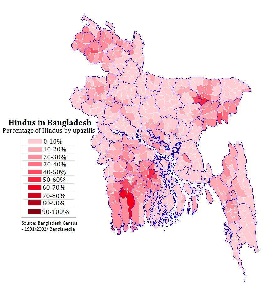
Hinduism is the second largest religion in Bangladesh, as according to the 2022 Census of Bangladesh, approximately 13.1 million people responded as Hindus, constituting 7.95% of the nation. Bangladesh is the third-largest Hindu populated country in the world, after India and Nepal. Hinduism is the Religion in Bangladesh, second-largest religion in 61 of 64 districts in Bangladesh, but there are no Hindu majority districts in Bangladesh. Demographics According to the 2001 Bangladesh census, there were around 11.82 million Hindus in Bangladesh constituting 9.6% of the population, which at the time was 123.15 million. The 2011 Bangladesh census, Bangladesh 2011 census states, that approximately 12.73 million people responded that they were Hindus, constituting 8.54% of the total 149.77 million. While 2022 Census of Bangladesh, put the number of Hindus in Bangladesh at 13.1 million out of total 165.1 million population, thus constituting 7.95% of the population. According to ... [...More Info...] [...Related Items...] OR: [Wikipedia] [Google] [Baidu] |
Islam In Bangladesh
Islam is the largest and the state religion of the People's Republic of Bangladesh. According to the 2022 census, Bangladesh had a population of about 150 million Muslims, or 91.04% of its total population of million. Muslims of Bangladesh are predominant native Bengali Muslims. The majority of Bangladeshis are ''Sunni'', and follow the '' Hanafi'' school of ''Fiqh''. Bangladesh is a ''de facto'' secular country. The Bengal region was a supreme power of the medieval Islamic East. In the late 7th century, Muslims from Arabia established commercial as well as religious connection within the Bengal region before the conquest, mainly through the coastal regions as traders and primarily via the ports of Chittagong. In the early 13th century, Muhammad bin Bakhtiyar Khalji conquered Western and part of Northern Bengal and established the first Muslim kingdom in Bengal. During the 13th century, Sufi missionaries, mystics and saints began to preach Islam in villages. The Islamic ... [...More Info...] [...Related Items...] OR: [Wikipedia] [Google] [Baidu] |
Bangladesh Bureau Of Statistics
The Bangladesh Bureau of Statistics (BBS) (), is the centralized official body in Bangladesh for collecting statistics on demographics, the economy, and other facts about the country and disseminating the information. History Although independent statistical programs had existed in the country before, they were often incomplete or produced inaccurate results, which led the government of Bangladesh to establishing an official bureau in August 1974, by merging four of the previous larger statistical agencies, the Bureau of Statistics, the Bureau of Agriculture Statistics, the Agriculture Census Commission and the Population Census Commission. In July 1975, the Statistics and Informatics Division was created under the Planning Ministry (Bangladesh), Planning Ministry, and tasked to oversee the BBS. Between 2002 and 2012, the division remained abolished but was later reinstated. The Bangladesh Bureau of Statistics is headquartered in Dhaka. As of 2019, it has 8 divisional statisti ... [...More Info...] [...Related Items...] OR: [Wikipedia] [Google] [Baidu] |
N8 (Bangladesh)
The N8 is a Bangladeshi National Highway between the capital Dhaka and the town of Patuakhali. It starts from the Jatrabari interchange and ends at the Patuakhali bridge. See also * List of roads in Bangladesh The road network of Bangladesh consists of national highways (designated by a number preceded by "N"), regional highways (R numbers) and zilla or district roads (Z numbers) which are maintained by Roads and Highways Department, as well as Upaz ... References AH1 National highways in Bangladesh Patuakhali District {{Bangladesh-road-stub ... [...More Info...] [...Related Items...] OR: [Wikipedia] [Google] [Baidu] |
Dhaka
Dhaka ( or ; , ), List of renamed places in Bangladesh, formerly known as Dacca, is the capital city, capital and list of cities and towns in Bangladesh, largest city of Bangladesh. It is one of the list of largest cities, largest and list of cities proper by population density, most densely populated cities in the world with a density of about 34,000 citizens per square kilometers within a total area of approximately 300 square kilometers. Dhaka is a megacity, and has a population of 10.2 million residents as of 2024, and a population of over 23.9 million residents in Greater Dhaka, Dhaka Metropolitan Area. It is widely considered to be the most densely populated built-up urban area in the world. Dhaka is an important cultural, economic, and scientific hub of Eastern South Asia, as well as a major list of largest cities in the Organisation of Islamic Cooperation member countries, Muslim-majority city. Dhaka ranks list of cities by GDP, third in South Asia and 39th in the worl ... [...More Info...] [...Related Items...] OR: [Wikipedia] [Google] [Baidu] |
Rajapur Upazila
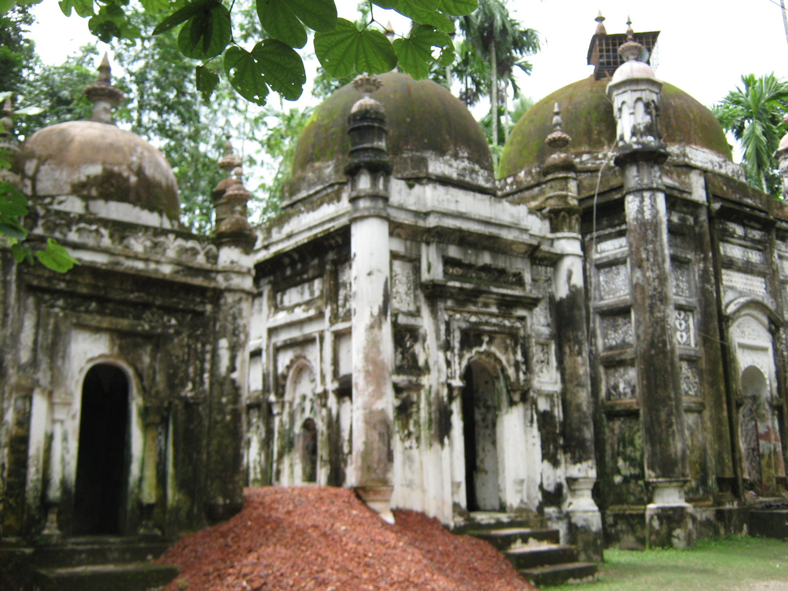
Rajapur () is an upazila (sub-district) of southern Bangladesh's Jhalokati District, which is a part of Barisal Division. Geography Rajapur is located at . It has 28,131 households and a total area of 164.59 km2. History Rajapur Upazila is home to many archeological sites such as forts and mosques. The Indrapasha Qila was thought to have been constructed during the reign of Mughal emperor Aurangzeb in the late seventeenth century. It was built to suppress the Maghs and Portuguese people, Portuguese pirates around the Bay of Bengal. In 1664, Shaista Khan was appointed as the Mughal governor of Bengal to defeat the pirates. Khan constructed many forts with his accomplice, Muhammad Azam Shah, Muhammad Azam, including the Indrapasha Fort. The fort no longer stands, existing only as a soil mound. In the same period, Keshwar Singh, who is thought to have been a Mughal general, constructed the triple mosques of Angaria, Jhalokati, Angaria Khan Bari. A triple mosque was also constr ... [...More Info...] [...Related Items...] OR: [Wikipedia] [Google] [Baidu] |
Nalchity Upazila
Nalchity () is an upazila of Jhalokati District in Barisal Division, Bangladesh. History Some family members of Isa Khan moved from Sarail to Nalchity. Abdul Ghani Khan, a 14th-generation descendant of Isa Khan, is the current head of this branch of the family. The region later became a free looting field and slave trading zone for Magh and Portuguese pirates. In 1654, Shah Shuja built two forts in one night in the village of Shujabad to better control the region, and to counter piracy. One was built with mud, and the other with bricks. The ruins of the forts are visible from the Barisal-Jhalokati highway. In 1924, the British authorities established a thana (police administrative headquarters) in Nalchity. On 7 March 1927, the British Raj police killed twenty Bengali Muslims in a mosque compound in the village of Kulkati. The event is known as the Ponabalia Massacre. During the Bangladesh War of Independence of 1971, the Pakistan Army shot down 13 Bengalis on 13 May. In mid ... [...More Info...] [...Related Items...] OR: [Wikipedia] [Google] [Baidu] |
Kathalia Upazila
Kathalia () is an upazila of Jhalokati District in Barisal Division, Bangladesh. Geography Kathalia is located at . It has 23,904 households and a total area of 152.08 km2. Kathalia is bounded by Bhandaria upazila of Pirojpur district to the north, Bamna upazila of Barguna district and Mathbaria upazila of Pirojpur to the south, Bishkhali river to the east and Bhandaria upazila and Mathbaria upazila of Pirojpur district to the west. The main river of this upazila is Bishkhali. Numerous canals originating from the Bishkhali river— flowing on the eastern side of the upazila— are spread like a net in this area. Most of the lands of this upazila are low lying which are flooded by the tide of Bishkhali river. Notable bill is Chhonauta. Rivers The notable rivers of Kathalia Upazila are: * Bishkhali River The main river of this area is Bishkhali River. It is the continuation of the Padma's tributary river named Ichamoti River. The Padma divided into two flows at about 52 ... [...More Info...] [...Related Items...] OR: [Wikipedia] [Google] [Baidu] |
Jhalokati Sadar Upazila
Jhalakathi Sadar (or Jhalokathi Sadar, ) is an upazila of Jhalokati District in Barisal Division, Bangladesh. Geography Jhalakathi Sadar is located at . It has 36,504 households and a total area of 159.46 km2. History At the start of Mughal rule in the late 16th century, a Sufi saint originally from Iran known as Dawud Shah settled in the village of Sugandhia in Jhalkathi. At that time, the sardar of the village was Sraban Thakur. It is said that Shah took shelter in Thakur's home in the guise of a laborer. However, Thakur later realized Shah's ''karamat'' and both he and his wife converted to Islam and Thakur changed his name to Sraban Khan. A khanqah was then established by Sraban Khan in Sugandhia for Dawud Shah. Shah was known to have established three mosques. The first was built in Jhalokati port and remained active as late as 1967. The ruins of the mosque lie next to the Jhalokati Tablighi Masjid which was built as a replacement for this ancient mosque being destroye ... [...More Info...] [...Related Items...] OR: [Wikipedia] [Google] [Baidu] |


