|
Jabalón
The Jabalón River is a river in central Spain, serving as the primary left-bank tributary of the Guadiana River. Originating at a site known as "Los Ojos," approximately 5 km from the town of Montiel toward the road to Villanueva de la Fuente, the river flows 161 km through the Ciudad Real Province in an east-to-west direction. It eventually joins the Guadiana River near Corral de Calatrava after turning north. Etymology The origin of the name "Jabalón" is debated. The most likely source is the Arabic word ''Jabal'' or ''Yabal'', meaning "mountain." An alternative theory suggests a more ancient origin, linking it to a hydronym from Old European, possibly related to the etymon ''savu'' found in the nearby Amarguillo River and the toponym ''Consaburum'' (Consuegra). The river's banks have supported human settlements since prehistoric times, including the Bronze Age, pre-Roman Oretani tribes, Roman villas, Visigothic communities, Arab settlements, and modern populations. G ... [...More Info...] [...Related Items...] OR: [Wikipedia] [Google] [Baidu] |
Valdepeñas
Valdepeñas is a municipality in the province of Ciudad Real, in the autonomous community of Castile-La Mancha, Spain. It is also the seat of the judicial district that covers the localities of Moral de Calatrava, Santa Cruz de Mudela, Viso del Marqués, Torrenueva, Castellar de Santiago and Almuradiel. Developed in the 13th century under the auspices of the Order of Calatrava, its emergence is connected to the depopulation of the nearby settlements of Santa María, Aberturas, and Corral Rubio. It possesses a traditional wine industry. It lies on the road ( A-4) and rail ( Alcázar de San Juan–Cádiz railway) route traditionally connecting the Meseta Central with Andalusia through the Despeñaperros Pass. Geography Its name means "Valley of Rocks", because it is located in a wide hilly area surrounded by a meander of the Jabalón River, just bordering on the plain south of La Mancha, and the subsoil is rich in limestone rock. It is located in the Campo de Calatrava, ... [...More Info...] [...Related Items...] OR: [Wikipedia] [Google] [Baidu] |
Calzada De Calatrava
Calzada de Calatrava is a municipality of Spain located in the province of Ciudad Real, autonomous community of Castilla–La Mancha. It belongs to the Campo de Calatrava traditional '' comarca''. In 2024 it had 3,742 inhabitants. History Between the Sacred Convent of Calatrava la Nueva and the Castle of Salvatierra there was population and for its defense it had two castles, therefore, it can be assured that it was founded in the first decades of the 13th century, with which, Calzada de Calatrava grew to the shadow and shelter as logistic support of the Castle of Calatrava la Nueva and the Order of Calatrava with its knights, friars and soldiers. The Order of Calatrava monitored and commanded throughout this area until the time of the Catholic Monarchs, the lands remained their property as well as many privileges, however numerous archaeological sites that confirm the human presence in this area from the Lower Paleolithic. Although no scientific excavations have been carried ... [...More Info...] [...Related Items...] OR: [Wikipedia] [Google] [Baidu] |
Granátula De Calatrava
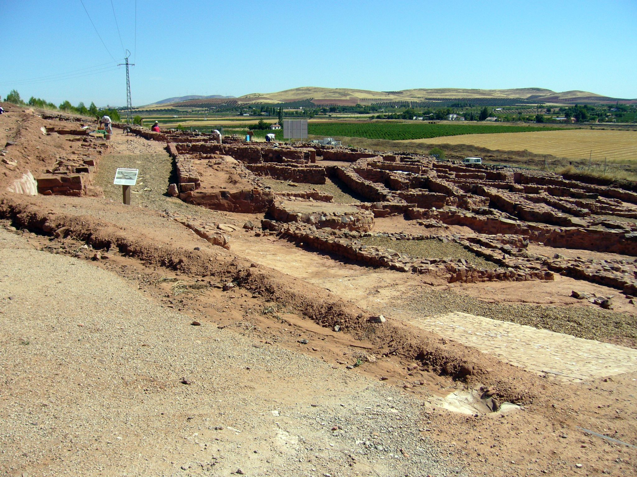
Granátula de Calatrava is a municipality in the province of Ciudad Real, Castile-La Mancha, Spain. It was known as ''Oretum'' in ancient Iberian times. The present-day town is located in the valley of the Jabalón river, in an area with Mediterranean-type agricultural resources from which olive oil, wine, cereals, almonds and various orchard products are obtained. Main sights Archaeological sites include the Virgen de Oreto y Zuqueca ( Oreto and Zuqueca) site, where Oretum, the ancient capital of Oretani was located. Also the Bronze Age site of La Encantada is within Granátula de Calatrava's municipal term. Other sights include the palace of the Torrubias, the House of the Inquisition, the parish church dedicated to Saint Anne, and the Sanctuary of Our Lady of Oreto and Zuqueca, which dates from the Middle Ages. The urban network shows the varied typology of Baroque buildings. The landscape has been intensely altered by mankind, and therefore is full of manor houses, from ... [...More Info...] [...Related Items...] OR: [Wikipedia] [Google] [Baidu] |
Guadiana River
The Guadiana River ( , , , ) is an international river defining a long stretch of the Portugal-Spain border, separating Extremadura and Andalusia (Spain) from Alentejo and Algarve (Portugal). The river's basin extends from la Mancha and the eastern portion of Extremadura to the southern provinces of the Algarve; the river and its tributaries flow from east to west, then south through Portugal to the border towns of Vila Real de Santo António (Portugal) and Ayamonte (Spain), where it flows into the Gulf of Cádiz. With a course that covers a distance of , it is the fourth-longest in the Iberian Peninsula, and its hydrological basin extends over an area of approximately (the majority of which lies within Spain). Etymology Ptolemy's ''Geography'' recorded the Celtiberian name as ''Anas'', meaning a marshy area or bayou. The Romans adapted this name as , which was etymolygised as the "River of Ducks." After the Muslim conquest of the Iberian Peninsula, the name was extended ... [...More Info...] [...Related Items...] OR: [Wikipedia] [Google] [Baidu] |
Consuegra
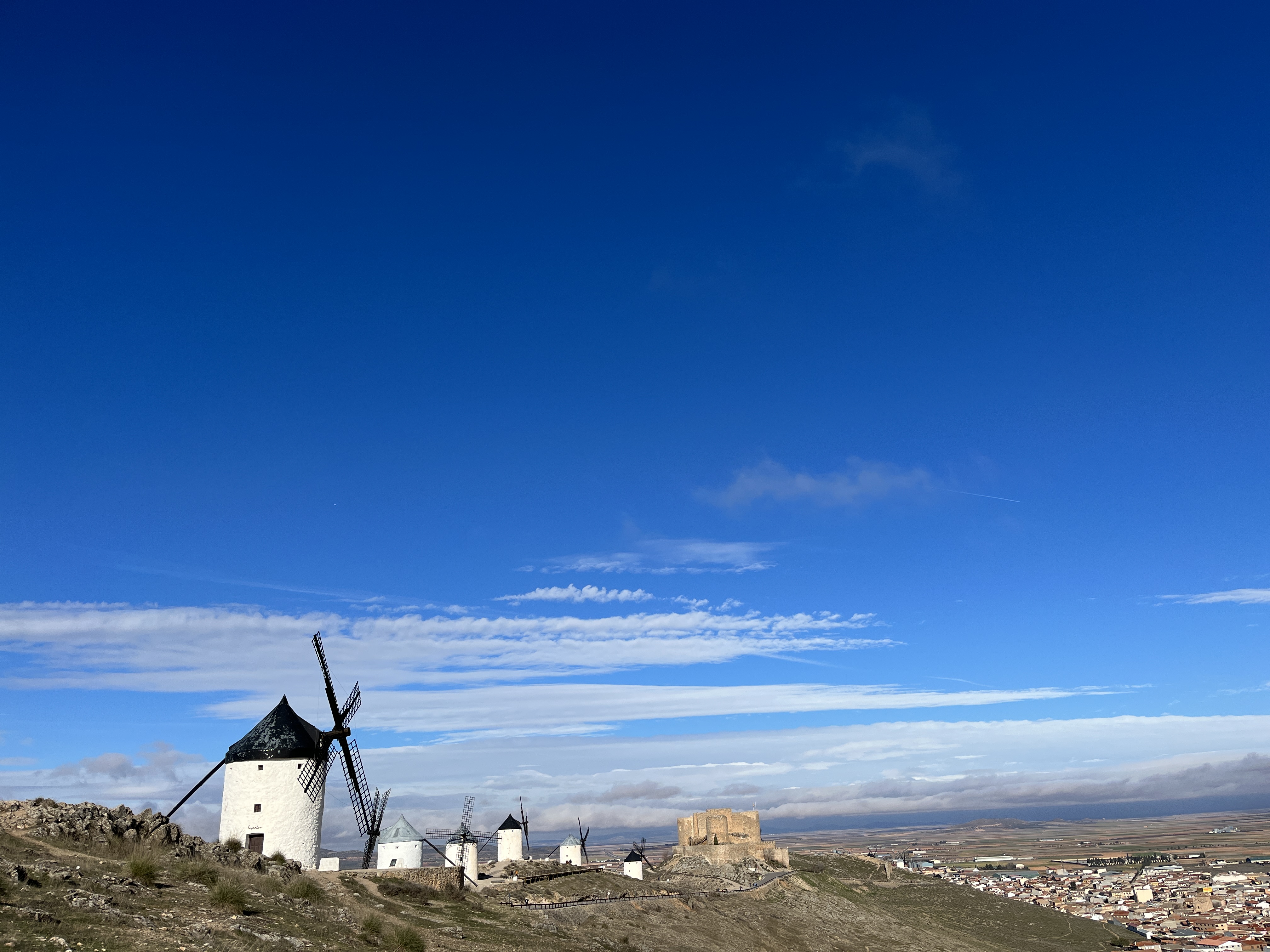
Consuegra is a municipality located in the province of Toledo, Castile-La Mancha, Spain. In 2018, the municipality had a population of 10,098 inhabitants. It is 80 km from Ciudad Real and 60 km from Toledo. Consuegra is located in La Mancha region, famous for its extensive dry plains, vineyards and historical constructions such as windmills. The principal economy sector is agriculture. The industry is predominated by textile and wood. Tourism has become a new economical source in the 21st century. The castle and the windmills are Consuegra's most important monuments. Most Spanish windmills, like those described in Miguel de Cervantes' early 17th century novel ''Don Quixote'', can be found in the community of Castilla-La Mancha, in central Spain. The best examples of restored Spanish windmills may be found around Consuegra where several mills can be seen on the hill just outside the town, giving a view of the 12th-century castle and of the town. Windmills are also locate ... [...More Info...] [...Related Items...] OR: [Wikipedia] [Google] [Baidu] |
Torre De Juan Abad
Torre de Juan Abad is a municipality in the province of Ciudad Real The province of Ciudad Real () is a province in the southwestern part of the autonomous community of Castile-La Mancha, Spain. It is bordered by the provinces of Cuenca, Albacete, Jaén, Córdoba, Badajoz, and Toledo. It is partly located ..., Castile-La Mancha, Spain. It has a population of 1,139. References Municipalities in the Province of Ciudad Real {{CastileLaMancha-geo-stub ... [...More Info...] [...Related Items...] OR: [Wikipedia] [Google] [Baidu] |
Campo De Calatrava
Campo de Calatrava is a comarca in the province of Ciudad Real, Castilla-La Mancha, Spain. Ciudad Real, the provincial capital, belongs to the Campo de Calatrava. A ''Denominación de Origen'' for olive oil takes its name from the comarca. There are olive groves in sixteen of the municipios, mainly containing a cultivar called cornicabra. Vineyards and crops of barley are also common to the area. Saffron is another crop cultivated in the area. The relief consists of sedimentary plains interspersed by small Appalachian folds, likewise distinctly featuring remains of volcanic activity. Historically, the area is connected to the Order of Calatrava, founded in 1158 to defend the fortress of Calatrava. Calatrava had passed to Christian control about a decade earlier, in 1147. The Calatravan order lost their stronghold and the entire Campo de Calatrava to Almohad The Almohad Caliphate (; or or from ) or Almohad Empire was a North African Berber Muslim empire founded in the 12t ... [...More Info...] [...Related Items...] OR: [Wikipedia] [Google] [Baidu] |
Sierra De Alcaraz Y Campo De Montiel
Sierra de Alcaraz y Campo de Montiel is a ''comarca'' of the Province of Albacete, Spain Spain, or the Kingdom of Spain, is a country in Southern Europe, Southern and Western Europe with territories in North Africa. Featuring the Punta de Tarifa, southernmost point of continental Europe, it is the largest country in Southern Eur .... Comarcas of the Province of Albacete {{Albacete-geo-stub ... [...More Info...] [...Related Items...] OR: [Wikipedia] [Google] [Baidu] |
Castilla–La Mancha
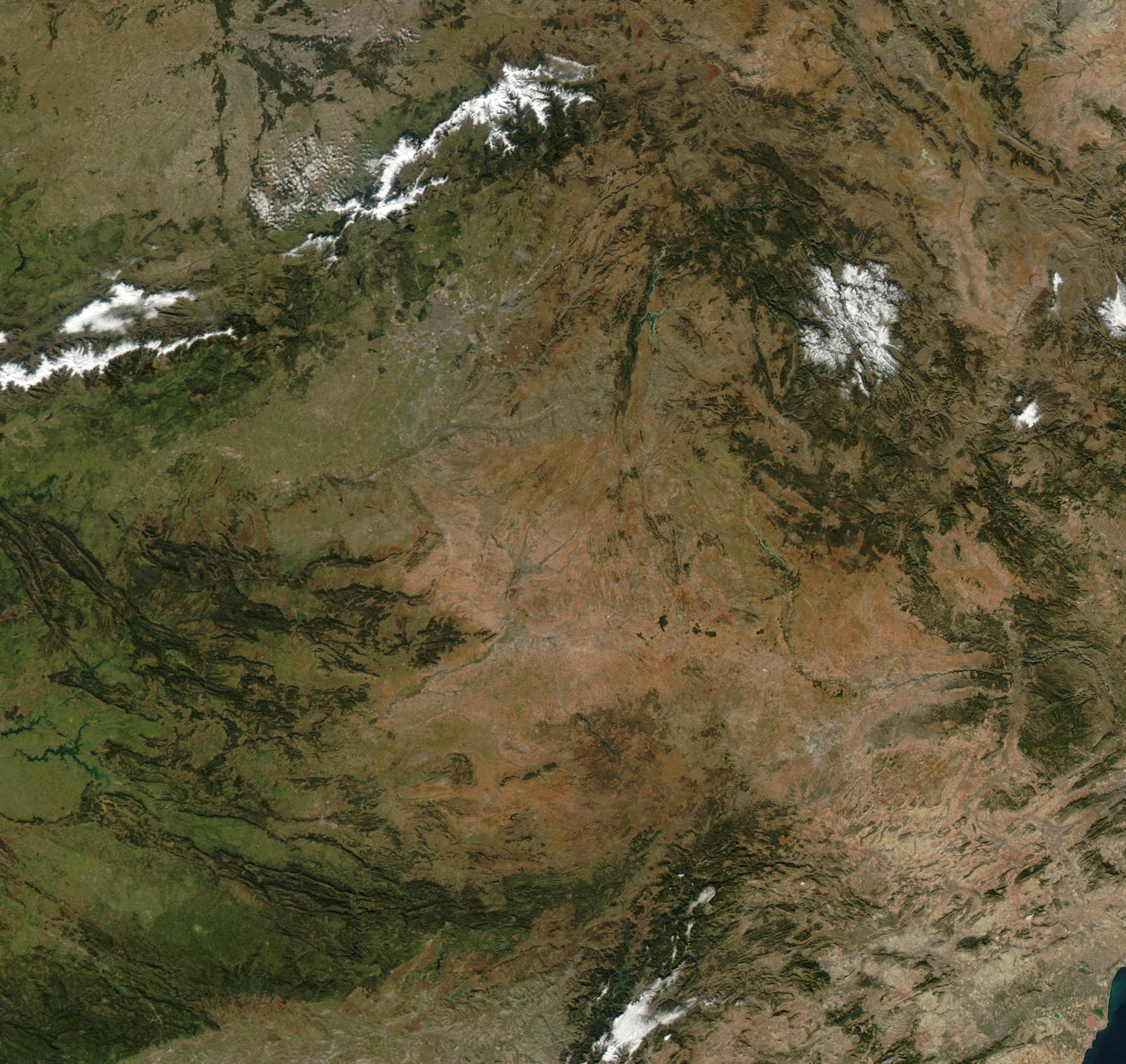
Castilla–La Mancha (, ; ) is an Autonomous communities of Spain, autonomous community of Spain. Comprising the provinces of Province of Albacete, Albacete, Province of Ciudad Real, Ciudad Real, Province of Cuenca, Cuenca, Province of Guadalajara, Guadalajara and Province of Toledo, Toledo, it was created in 1982. The government headquarters are in Toledo, Spain, Toledo, which is the capital ''de facto''. It is a landlocked region largely occupying the southern half of the Iberian Peninsula's Meseta Central, Inner Plateau, including large parts of the catchment areas of the Tagus, the Guadiana and the Júcar, while the northeastern relief comprises the Sistema Ibérico mountain massif. It is one of the most sparsely populated of Spain's regions, with Albacete, Guadalajara, Spain, Guadalajara, Toledo, Spain, Toledo, Talavera de la Reina and Ciudad Real being the largest cities. Castilla–La Mancha is bordered by Castile and León, Community of Madrid, Madrid, Aragon, Valencian c ... [...More Info...] [...Related Items...] OR: [Wikipedia] [Google] [Baidu] |
Old European Hydronymy
Old European () is the term used by Hans Krahe (1964) for the language of the oldest reconstructed stratum of European hydronymy (river names) in Central and Western Europe.Hans Krahe, ''Unsere ältesten Flussnamen'', Wiesbaden Edition Otto Harrassowiitz (1964)"Old European" in this sense is not to be confused with the term as used by Marija Gimbutas who applies it to non-Indo-European or pre-Indo-European Neolithic Europe. Geography Krahe writes in A1, chapter III, "Introducing preface" Number 2 that the old European hydronomy extended from Scandinavia to South Italy, from Western Europe including the British Isles to the Baltic countries. Of the three Mediterranean peninsulas, Italy was most completely included, whilst the Balkan Peninsula was only scarcely covered. He writes that what he presents for hydronomy also applies to mountains and ranges of mountains, and continues with "Karpaten" and "Karawanken", certainly within the Slavic settlement area, omitting the Bavarian/Aus ... [...More Info...] [...Related Items...] OR: [Wikipedia] [Google] [Baidu] |
Province Of Ciudad Real
The province of Ciudad Real () is a province in the southwestern part of the autonomous community of Castile-La Mancha, Spain. It is bordered by the provinces of Cuenca, Albacete, Jaén, Córdoba, Badajoz, and Toledo. It is partly located in the old natural region of La Mancha. Its capital is Ciudad Real. It is the third largest province by area in all of Spain, after Cáceres and Badajoz. The historic comarca Campo de Calatrava is located in the center of the province. History Ciudad Real was one of the 49 provinces in which Spain was divided in the territorial reorganization of 1833, taking its name from its largest city and capital. Its limits corresponded more or less to the historical province of La Mancha, which was part of the kingdom of Toledo. The Spanish government created the autonomous community of Castilla-La Mancha on 15 November 1978, as one of several autonomous regions. The new, hyphenated name was chosen to join the historic Castilla region, which ... [...More Info...] [...Related Items...] OR: [Wikipedia] [Google] [Baidu] |


