|
Itchingfield
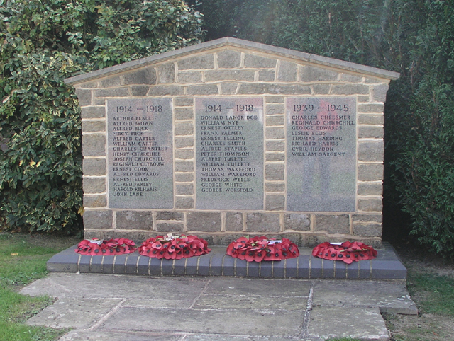
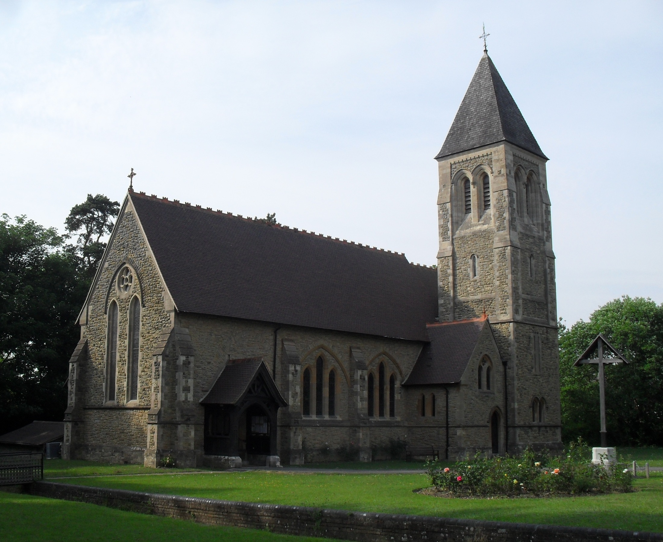
Itchingfield is a small village and civil parish in the Horsham district of West Sussex, England. It lies on the Barns Green to Broadbridge Heath road southwest of Horsham Horsham is a market town on the upper reaches of the River Arun on the fringe of the Weald in West Sussex, England. The town is south south-west of London, north-west of Brighton and north-east of the county town of Chichester. Nearby .... The main settlement in the parish is Barns Green. The village's origins may lie with the Romans. This is suggested by the discovery of tiles in the parish. Gallery File:Itchingfield Church print.jpg, St. Nicolas c. 1830 File:St. Nicolas, Itchingfield.jpg, St. Nicolas 2017 File:Itchingfield Church interior - geograph.org.uk - 1588319.jpg, St. Nicolas Interior File:Itchingfield School - geograph.org.uk - 1071438.jpg, Itchingfield School References External links Horsham District Villages in West Sussex {{WestSussex-geo-stub ... [...More Info...] [...Related Items...] OR: [Wikipedia] [Google] [Baidu] |
Barns Green
Barns Green is a village in the Horsham district of West Sussex, England. It lies on the Billingshurst to Itchingfield road north of Billingshurst. It is noted for the annual half marathon A half marathon is a road running event of —half the distance of a marathon. It is common for a half marathon event to be held concurrently with a marathon or a 5K race, using almost the same course with a late start, an early finish or shortcu ... race of the same name, held around the end of September. Barns Green is a rural community, with a village shop and post office, pub, primary school, sports club, campsite, cafe, fishery, village hall, riding school and village green. It has a number of locally based community clubs including toddler group, youth club, brownies, amateur dramatics, book club, and several sports clubs. The Downs Link Bridleway passes through the village from Southwater in one direction, and Slinfold in the other. References External links Villages in W ... [...More Info...] [...Related Items...] OR: [Wikipedia] [Google] [Baidu] |
Horsham (UK Parliament Constituency)
Horsham () is a constituency represented in the House of Commons of the UK Parliament, centred on the eponymous town in West Sussex, its former rural district and part of another rural district. Its Member of Parliament (MP) was Francis Maude between 1997 and 2015; since then it has been Jeremy Quin, both of the Conservative Party. Boundaries and profile 1885–1918: The Sessional Divisions of Horsham, Midhurst, Petworth, the civil parish of Crawley. 1945–1950: The Urban Districts of Horsham, Shoreham-by-Sea, Southwick, the Rural Districts of Chanctonbury and Horsham. 1950–1974: The Urban District of Horsham, the Rural Districts of Horsham, Midhurst, Petworth. 1983–1997: The District of Horsham. 1997–2010: The District of Horsham wards of Billingshurst, Broadbridge Heath, Cowfold, Denne, Forest, Holbrook, Itchingfield and Shipley, Nuthurst, Riverside, Roffey North, Rudgwick, Rusper, Slinfold, Southwater, Trafalgar, Warnham, the District of Mid Sussex wards of Balcomb ... [...More Info...] [...Related Items...] OR: [Wikipedia] [Google] [Baidu] |
Horsham (district)
Horsham is a local government district in West Sussex, England. Its council is based in Horsham. The district borders those of Crawley, Mid Sussex, Mole Valley, Chichester, Arun and Adur, and the unitary authority of Brighton & Hove. The district was formed on 1 April 1974, under the Local Government Act 1972, by the merger of Horsham urban district along with Chanctonbury Rural District and Horsham Rural District. accessed Dec 2017. On a programme in 2007, the Horsham distri ... [...More Info...] [...Related Items...] OR: [Wikipedia] [Google] [Baidu] |
Horsham District
Horsham is a local government district in West Sussex, England. Its council is based in Horsham. The district borders those of Crawley, Mid Sussex, Mole Valley, Chichester, Arun and Adur, and the unitary authority of Brighton & Hove. The district was formed on 1 April 1974, under the Local Government Act 1972, by the merger of Horsham urban district along with Chanctonbury Rural District and Horsham Rural District. accessed Dec 2017. On a Channel 4 television programme in 2007, the Horsham district was classed as the ninth best district to live in the United ... [...More Info...] [...Related Items...] OR: [Wikipedia] [Google] [Baidu] |
United Kingdom Census 2001
A nationwide census, known as Census 2001, was conducted in the United Kingdom on Sunday, 29 April 2001. This was the 20th UK census and recorded a resident population of 58,789,194. The 2001 UK census was organised by the Office for National Statistics (ONS) in England and Wales, the General Register Office for Scotland (GROS) and the Northern Ireland Statistics and Research Agency (NISRA). Detailed results by region, council area, ward and output area are available from their respective websites. Organisation Similar to previous UK censuses, the 2001 census was organised by the three statistical agencies, ONS, GROS, and NISRA, and coordinated at the national level by the Office for National Statistics. The Orders in Council to conduct the census, specifying the people and information to be included in the census, were made under the authority of the Census Act 1920 in Great Britain, and the Census Act (Northern Ireland) 1969 in Northern Ireland. In England and Wales the ... [...More Info...] [...Related Items...] OR: [Wikipedia] [Google] [Baidu] |
Boxing The Compass
The points of the compass are a set of horizontal, radially arrayed compass directions (or azimuths) used in navigation and cartography. A compass rose is primarily composed of four cardinal directions— north, east, south, and west—each separated by 90 degrees, and secondarily divided by four ordinal (intercardinal) directions—northeast, southeast, southwest, and northwest—each located halfway between two cardinal directions. Some disciplines such as meteorology and navigation further divide the compass with additional azimuths. Within European tradition, a fully defined compass has 32 'points' (and any finer subdivisions are described in fractions of points). Compass points are valuable in that they allow a user to refer to a specific azimuth in a colloquial fashion, without having to compute or remember degrees. Designations The names of the compass point directions follow these rules: 8-wind compass rose * The four cardinal directions are north (N), eas ... [...More Info...] [...Related Items...] OR: [Wikipedia] [Google] [Baidu] |
West Sussex
West Sussex is a county in South East England on the English Channel coast. The ceremonial county comprises the shire districts of Adur, Arun, Chichester, Horsham, and Mid Sussex, and the boroughs of Crawley and Worthing. Covering an area of 1,991 square kilometres (769 sq mi), West Sussex borders Hampshire to the west, Surrey to the north, and East Sussex to the east. The county town and only city in West Sussex is Chichester, located in the south-west of the county. This was legally formalised with the establishment of West Sussex County Council in 1889 but within the ceremonial County of Sussex. After the reorganisation of local government in 1974, the ceremonial function of the historic county of Sussex was divided into two separate counties, West Sussex and East Sussex. The existing East and West Sussex councils took control respectively, with Mid Sussex and parts of Crawley being transferred to the West Sussex administration from East Sussex. In the 2011 ce ... [...More Info...] [...Related Items...] OR: [Wikipedia] [Google] [Baidu] |
Civil Parish
In England, a civil parish is a type of Parish (administrative division), administrative parish used for Local government in England, local government. It is a territorial designation which is the lowest tier of local government below districts of England, districts and metropolitan and non-metropolitan counties of England, counties, or their combined form, the Unitary authorities of England, unitary authority. Civil parishes can trace their origin to the ancient system of Parish (Church of England), ecclesiastical parishes, which historically played a role in both secular and religious administration. Civil and religious parishes were formally differentiated in the 19th century and are now entirely separate. Civil parishes in their modern form came into being through the Local Government Act 1894, which established elected Parish councils in England, parish councils to take on the secular functions of the vestry, parish vestry. A civil parish can range in size from a sparsely ... [...More Info...] [...Related Items...] OR: [Wikipedia] [Google] [Baidu] |
Broadbridge Heath
Broadbridge Heath is a village and civil parish in the Horsham district of West Sussex, England. It is about two miles (3 km) west from the historic centre of Horsham. The population of Broadbridge Heath has increased considerably in the first two decades of the twenty-first century because of large scale housing development (79% from 2013 to 2019 according to Office For National Statistics). History The earliest evidence of human activity in what is now Broadbridge Heath dates to the Mesolithic period, in the form of flint implements found in the Wickhurst Green area. Later evidence of settlement in the parish includes several Iron Age roundhouses. The land now occupied by Broadbridge Heath was originally a detached portion of the parish of Sullington, part of a mediaeval system of transhumance whereby villagers from downland villages would drive their livestock into the Low Weald to graze on acorns, grass and beech mast.'The Kent and Sussex Weald, Peter Brandon, publish ... [...More Info...] [...Related Items...] OR: [Wikipedia] [Google] [Baidu] |
Horsham
Horsham is a market town on the upper reaches of the River Arun on the fringe of the Weald in West Sussex, England. The town is south south-west of London, north-west of Brighton and north-east of the county town of Chichester. Nearby towns include Crawley to the north-east and Haywards Heath and Burgess Hill to the south-east. It is the administrative centre of the Horsham district. History Governance Horsham is the largest town in the Horsham District Council area. The second, higher, tier of local government is West Sussex County Council, based in Chichester. It lies within the ancient Norman administrative division of the Rape of Bramber and the Hundred of Singlecross in Sussex. The town is the centre of the parliamentary constituency of Horsham, recreated in 1983. Jeremy Quin has served as Conservative Member of Parliament for Horsham since 2015, succeeding Francis Maude, who held the seat from 1997 but retired at the 2015 general election. Geography ... [...More Info...] [...Related Items...] OR: [Wikipedia] [Google] [Baidu] |
.png)

