|
Island Archway
The Island Archway was a 25 metre high, naturally formed rock arch that lay off Loch Ard Gorge, a bay on the south coast of Victoria, Australia. The gate collapsed on 10 June 2009. The arch of rock exposed in the water has been frequently photographed by the numerous international and domestic tourists vacationing in the Great Ocean Road area. The national and international press reported extensively on this geological event. After the collapse, only two limestone rock pillars remained of the rock arch. The rock cliff consists of a relatively weakly compacted limestone, which lost its rock volume due to erosion by wind and weather and thus became unstable. The Island Archway was part of a series of free-standing limestone formations on the Great Ocean Road that includes the Twelve Apostles. As early as January 1990, another rock arch on this coast, the inner arch of the London Bridge, had collapsed. The stability of these cliffs is short-lived in geological terms. Initially, i ... [...More Info...] [...Related Items...] OR: [Wikipedia] [Google] [Baidu] |
Rock Arch
A natural arch, natural bridge, or (less commonly) rock arch is a natural landform where an arch has formed with an opening underneath. Natural arches commonly form where inland cliffs, Cliffed coast, coastal cliffs, Fin (geology), fins or Stack (geology), stacks are subject to erosion from the sea, rivers or weathering (subaerial processes). Most natural arches are formed from narrow fins and sea stacks composed of sandstone or limestone with steep, often vertical, cliff faces. The formations become narrower due to erosion over geologic time scales. The softer rock stratum erodes away creating rock shelters, or alcoves, on opposite sides of the formation beneath the relatively harder stratum, or caprock, above it. The alcoves erode further into the formation eventually meeting underneath the harder caprock layer, thus creating an arch. The erosional processes exploit weaknesses in the softer rock layers making cracks larger and removing material more quickly than the caprock; ho ... [...More Info...] [...Related Items...] OR: [Wikipedia] [Google] [Baidu] |
Great Ocean Road
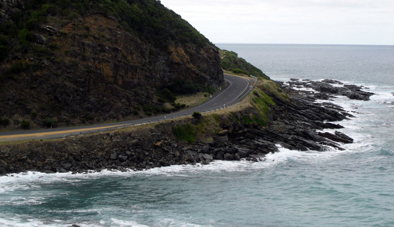
The Great Ocean Road is an Australian National Heritage-listed stretch of road along the south-eastern coast of Australia, between the Victorian towns of Torquay and Allansford. Built by returned soldiers between 1919 and 1932, and dedicated to soldiers killed during World War I, the road is the world's largest war memorial. Winding through varying terrain along the coast, and providing access to several prominent landmarks, including the Twelve Apostles limestone stack formations, the road is an important tourist attraction. The city of Geelong, close to Torquay, experiences great benefit from Australian and international visitors to the road, with Geelong Otway Tourism affirming it as an invaluable asset. In 2008, the Royal Automobile Club of Victoria (RACV) listed the road as the state's top tourism experience in its ''Victoria 101 survey'', based on places that members of the public would recommend to visitors. Route The Great Ocean Road starts at Torquay and runs w ... [...More Info...] [...Related Items...] OR: [Wikipedia] [Google] [Baidu] |
Victoria (Australia)
Victoria, commonly abbreviated as Vic, is a States and territories of Australia, state in southeastern Australia. It is the second-smallest state (after Tasmania), with a land area of ; the second-most-populated state (after New South Wales), with a population of over 7 million; and the most densely populated state in Australia (30.6 per km2). Victoria's economy is the List of Australian states and territories by gross state product, second-largest among Australian states and is highly diversified, with service sectors predominating. Victoria is bordered by New South Wales to the north and South Australia to the west and is bounded by the Bass Strait to the south (with the exception of a small land border with Tasmania located along Boundary Islet), the Southern Ocean to the southwest, and the Tasman Sea (a marginal sea of the South Pacific Ocean) to the southeast. The state encompasses a range of climates and geographical features from its temperate climate, temperate coa ... [...More Info...] [...Related Items...] OR: [Wikipedia] [Google] [Baidu] |
Loch Ard Gorge
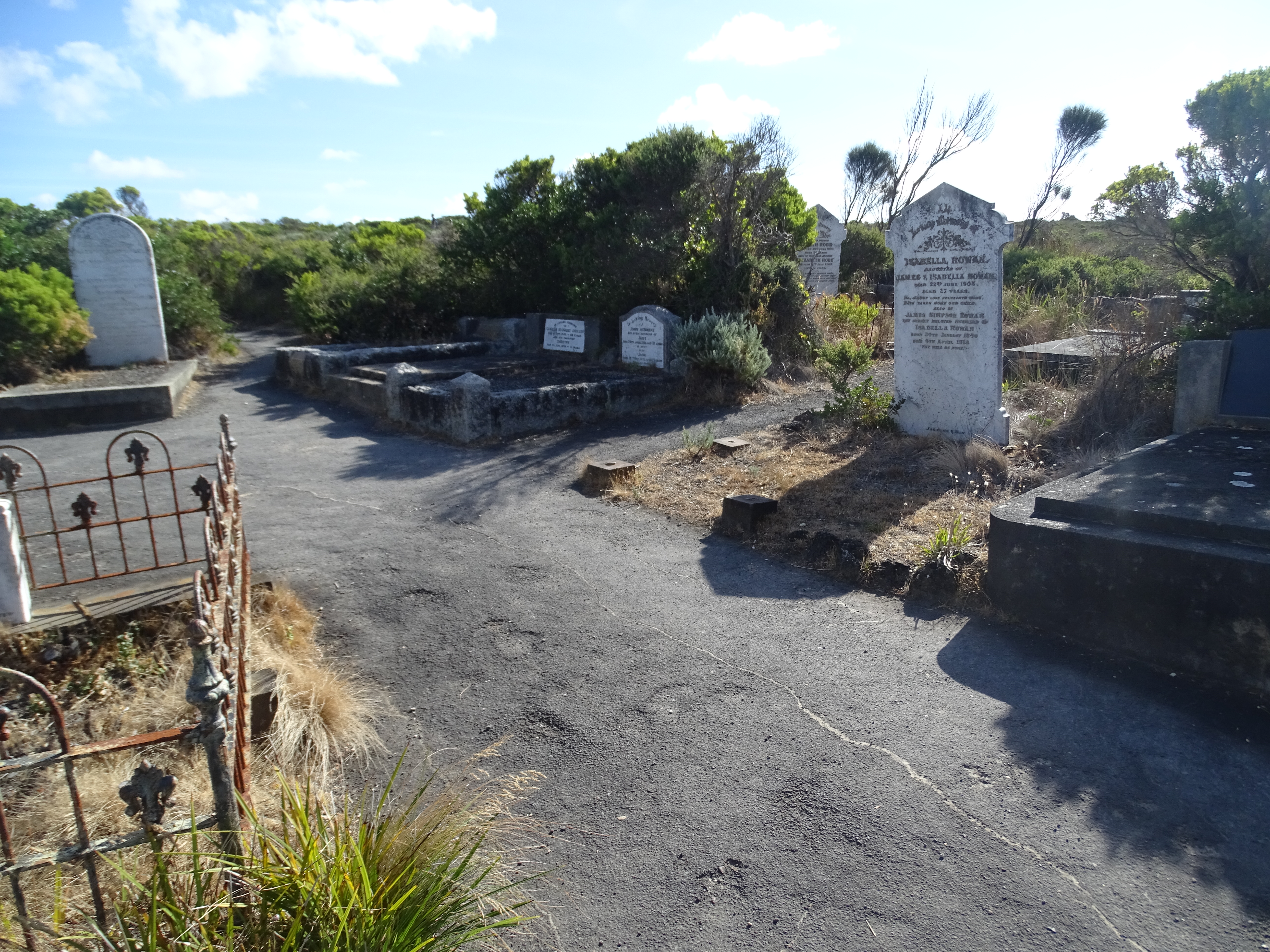
The Loch Ard Gorge is part of Port Campbell National Park, Victoria (Australia), Victoria, Australia, about three minutes' drive west of The Twelve Apostles (Victoria), The Twelve Apostles. History The gorge is named after the clipper that was shipwrecked on 1 June 1878 near the end of a three-month journey from England to Melbourne. Of 54 passengers and crew, only two survived: Thomas Richard Pearce, Thomas Pearce, one of the ship's apprentices; and Eva Carmichael, an Irishwoman emigrating with her family. Pearce and Carmichael were each 19 years old. According to memorials at the site, Pearce was washed ashore, and rescued Carmichael from the water after hearing her cries for help. Pearce then climbed out of the gorge to raise the alarm to local pastoralists who quickly came to Carmichael's rescue. Three months after the disaster, which claimed the lives of seven members of her family, Carmichael returned to Ireland. Pearce was hailed a hero, and the Royal Humane Society o ... [...More Info...] [...Related Items...] OR: [Wikipedia] [Google] [Baidu] |
Panoramic View From Tom And Eva Lookout 20230218 1
A panorama (formed from Greek πᾶν "all" + ὅραμα "view") is any wide-angle view or representation of a physical space, whether in painting, drawing, photography (panoramic photography), film, seismic images, or 3D modeling. The word was coined in the 18th century by the English ( Irish descent) painter Robert Barker to describe his panoramic paintings of Edinburgh and London. The motion-picture term ''panning'' is derived from ''panorama''. A panoramic view is also purposed for multimedia, cross-scale applications to an outline overview (from a distance) along and across repositories. This so-called "cognitive panorama" is a panoramic view over, and a combination of, cognitive spaces used to capture the larger scale. History The device of the panorama existed in painting, particularly in murals, as early as 20 A.D., in those found in Pompeii, as a means of generating an immersive "panoptic" experience of a vista. Cartographic experiments during the Enlightenmen ... [...More Info...] [...Related Items...] OR: [Wikipedia] [Google] [Baidu] |


