|
Ihiagwa
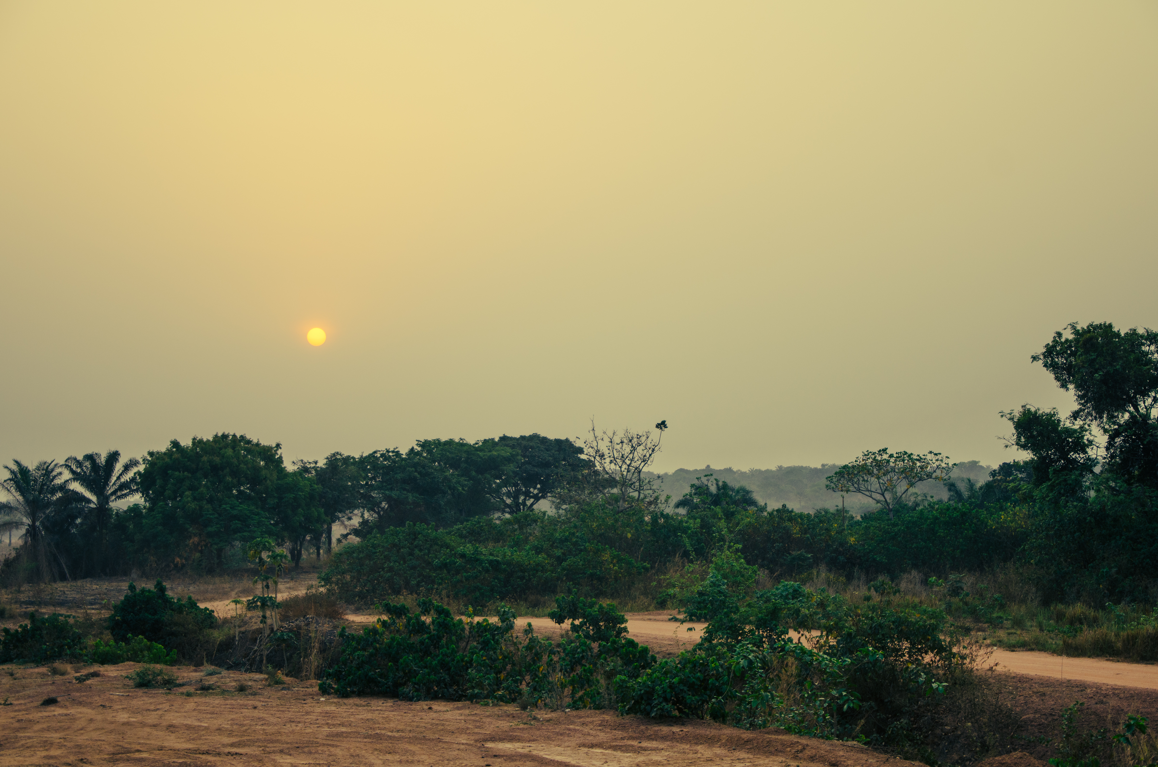
Ihiagwa is a town in Owerri West Local Government Area of Imo State, Nigeria. It is located south of the capital city of Owerri. The township is composed of eight villages: Umuelem, Umuchima, Mboke, Nnkaramochie, Iriamogu, Aku/Umuokwo, Ibuzo and Umuezeawula. Ihiagwa has been divided into two autonomous communities, namely Ihiagwa Ancient Kingdom (Chimelem), comprising two villages: Umuelem and Umuchima;and Dindi-Ihiagwa, comprising the remaining six villages, all divisions done for administrative and developmental reasons. Each autonomous community is a monarchy ruled by an Eze. The Ihiagwa people are members of the Igbo ethnic group in the southeastern Nigeria. They number about ten thousand (10,000) and easily identified among the Oratta people of Owerri. The Ihiagwa people are also referred to as the Aguzieafors i.e. the calendar keepers. This means in those pre-British times the Ihiagwa were responsible for keeping the calendar of the surrounding communities and also had the ... [...More Info...] [...Related Items...] OR: [Wikipedia] [Google] [Baidu] |
Owerri
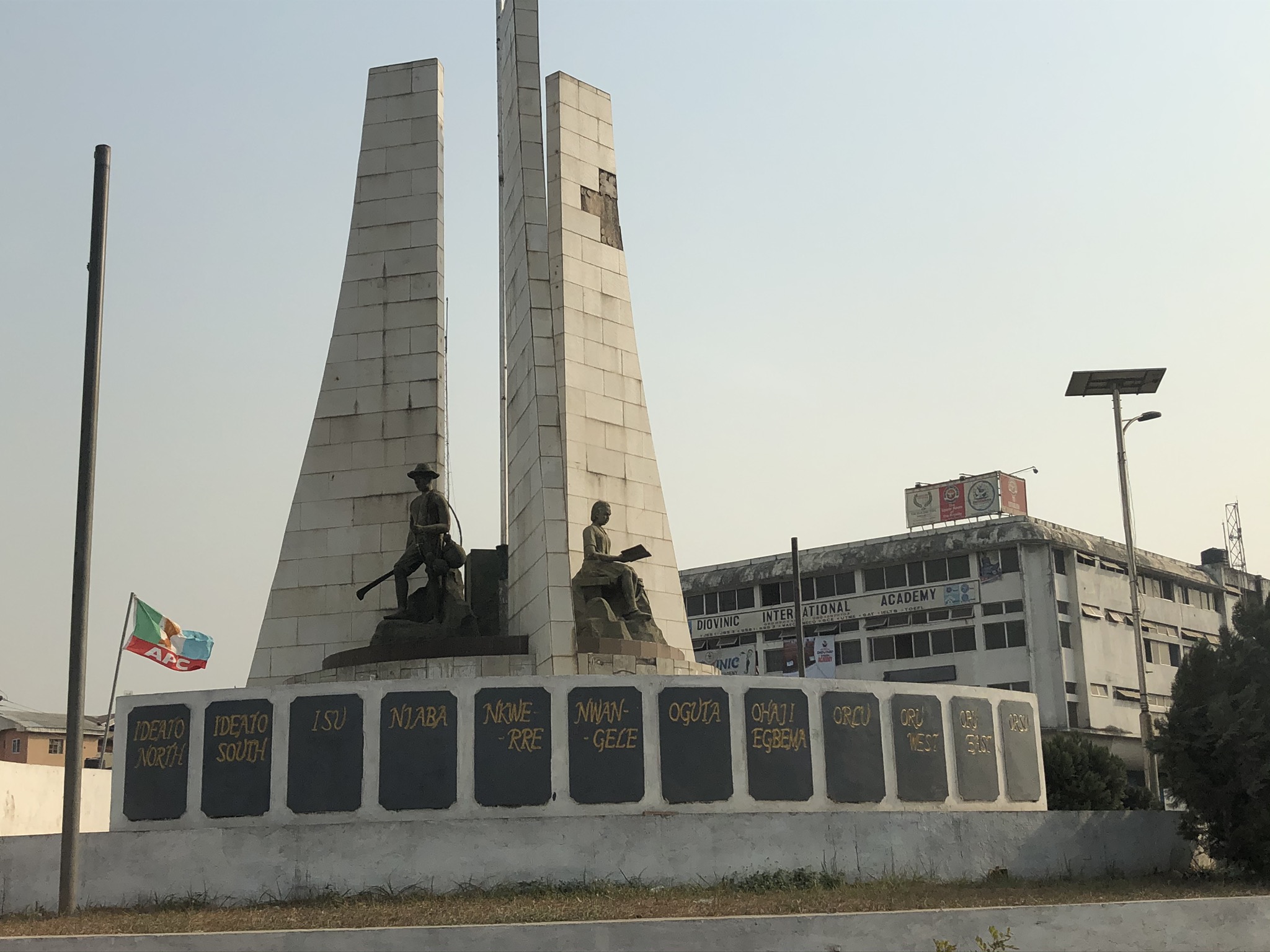
Owerri ( , ) is the capital city of Imo State in Nigeria, set in the heart of Igboland. It is also the state's largest city, followed by Orlu, Okigwe and Ohaji/Egbema. Owerri consists of three Local Government Areas including Owerri Municipal, Owerri North and Owerri West, it has an estimated population of about 1,401,873 as of 2016 and is approximately in area. Owerri is bordered by the Otamiri River to the east and the Nworie River to the south. The Owerri Slogan is ''Heartland''. History Owerri was the last of three capitals of the Republic of Biafra in 1969. The capital of the secessionist state was continuously being moved as Nigerian troops captured the older capitals. Enugu and Umuahia were the other capitals before Owerri. Present-day Owerri does contain some statuary memorializing the war, particularly in locations which suffered heavy bombing, but most war artifacts and history are located in the museum at Umuahia, Abia State. On 5 April 2021, a mass prison ... [...More Info...] [...Related Items...] OR: [Wikipedia] [Google] [Baidu] |
Federal University Of Technology Owerri
The Federal University of Technology Owerri (FUTO) is a federal government university in Owerri West, the capital of Imo State, Nigeria. The university is bounded by the communities of Eziobodo, Umuchima, Ihiagwa and Obinze. It is the premier federal university of technology in the South-East and South-South parts of Nigeria. The university is the oldest university of technology in Nigeria and was established in 1980 by executive fiat with the composition and appointment of the first provisional council by Nigeria's first Executive President, Shehu Shagari. It became the first of three such universities set up by the Federal Government of Nigeria which sought to establish a University of Technology in each geo-political region and particularly in a state which did not have a conventional university. FUTO began with 225 students and 60 staff (28 academic and 32 non-academic). Like other federal universities in Nigeria, FUTO is headed by a Chancellor who is usually a royal ... [...More Info...] [...Related Items...] OR: [Wikipedia] [Google] [Baidu] |
Otamiri River
The Otamiri River is one of the main rivers in Imo State, Nigeria. The river takes its name from ''Ota Miri'', a deity who owns all the waters that are called by his name, and who is often the dominating god of Mbari houses. The river runs south from Egbu past Owerri and through Nekede, Ihiagwa, Eziobodo, Olokwu Umuisi, Mgbirichi and Umuagwo to Ozuzu in Etche, in the Rivers State, from where it flows to the Atlantic Ocean. The length of the river from its source to its confluence at Emeabiam with the Uramiriukwa River is . The Otamiri watershed covers about with annual rainfall of . The watershed is mostly covered by depleted rain forest vegetation, with mean temperatures of throughout the year. Conversion of the tropical rainforest to grassland with slash and burn practices is degrading soil quality. The Otamiri is joined by the Nworie River at Nekede in Owerri, a river about long. The Nworie river is subject to intensive human and industrial activities, and is used as ... [...More Info...] [...Related Items...] OR: [Wikipedia] [Google] [Baidu] |
Imo State
Imo State ( ig, Ȯra Imo) is a state in the South-East geopolitical zone of Nigeria, bordered to the north by Anambra State, Rivers State to the west and south, and Abia State to the east. It takes its name from the Imo River which flows along the state's eastern border. The state capital is Owerri and its state nickname is the "Eastern Heartland." Of the 36 states, Imo is the third smallest in area but is fourteenth most populous with an estimated population of over 5.4 million as of 2016. Geographically, the State is divided between the Niger Delta swamp forests in the far east and the drier Cross–Niger transition forests in the rest of the State. Other key geographical features are the state's rivers and lakes with the Awbana, Imo, Orashi, and Otamiri rivers along with the Oguta Lake in western Imo State. Modern-day Imo State has been inhabited for years by various ethnic groups, primarily the Igbo people with the Igbo language serving as a lingua franca al ... [...More Info...] [...Related Items...] OR: [Wikipedia] [Google] [Baidu] |
Nigeria
Nigeria ( ), , ig, Naìjíríyà, yo, Nàìjíríà, pcm, Naijá , ff, Naajeeriya, kcg, Naijeriya officially the Federal Republic of Nigeria, is a country in West Africa. It is situated between the Sahel to the north and the Gulf of Guinea to the south in the Atlantic Ocean. It covers an area of , and with a population of over 225 million, it is the List of African countries by population, most populous country in Africa, and the List of countries and dependencies by population, world's sixth-most populous country. Nigeria borders Niger in Niger–Nigeria border, the north, Chad in Chad–Nigeria border, the northeast, Cameroon in Cameroon–Nigeria border, the east, and Benin in Benin–Nigeria border, the west. Nigeria is a Federation, federal republic comprising of States of Nigeria, 36 states and the Federal Capital Territory, Nigeria, Federal Capital Territory, where the capital, Abuja, is located. The List of Nigerian cities by population, largest city in Nigeria ... [...More Info...] [...Related Items...] OR: [Wikipedia] [Google] [Baidu] |
Igbo People
The Igbo people ( , ; also spelled Ibo" and formerly also ''Iboe'', ''Ebo'', ''Eboe'', * * * ''Eboans'', ''Heebo''; natively ) are an ethnic group in Nigeria. They are primarily found in Abia, Anambra, Ebonyi, Enugu, and Imo States. A sizable Igbo population is also found in Delta and Rivers States. Large ethnic Igbo populations are found in Cameroon, Gabon, and Equatorial Guinea, as well as outside Africa. There has been much speculation about the origins of the Igbo people, which are largely unknown. Geographically, the Igbo homeland is divided into two unequal sections by the Niger River—an eastern (which is the larger of the two) and a western section. The Igbo people are one of the largest ethnic groups in Africa. The Igbo language is part of the Niger-Congo language family. Its regional dialects are somewhat mutually intelligible amidst the larger " Igboid" cluster. The Igbo homeland straddles the lower Niger River, east and south of the Edoid and Ido ... [...More Info...] [...Related Items...] OR: [Wikipedia] [Google] [Baidu] |
Igboland
Igboland ( Standard ), also known as Southeastern Nigeria (but extends into South-Southern Nigeria), is the indigenous homeland of the Igbo people. It is a cultural and common linguistic region in southern Nigeria. Geographically, it is divided by the lower Niger River into two sections: an eastern (the larger of the two) and a western one. Its population is characterised by the diverse Igbo culture and the speakers of equally diverse Igbo languages. Politically, Igboland is divided into several southern Nigerian states; culturally, it has included several subgroupings, including the Anioma, the Ngwa, the Aro, the Ezza, the Ibeku, the Ohuhu, the Oboro, the Ikwerre, the Ogba, the Omuma, the Ohafia, the Oyigbo, the Mbaise, the Isu and the Ekpeye. Territorial boundaries Igboland is surrounded on all sides by large rivers, and other southern and central Nigeria indigenous tribes, namely Igala, Tiv, Yako, Idoma and Ibibio. In the words of William B. Baikie, "Igbo s ... [...More Info...] [...Related Items...] OR: [Wikipedia] [Google] [Baidu] |
Towns In Imo State
A town is a human settlement. Towns are generally larger than villages and smaller than cities, though the criteria to distinguish between them vary considerably in different parts of the world. Origin and use The word "town" shares an origin with the German word , the Dutch word , and the Old Norse . The original Proto-Germanic word, *''tūnan'', is thought to be an early borrowing from Proto-Celtic *''dūnom'' (cf. Old Irish , Welsh ). The original sense of the word in both Germanic and Celtic was that of a fortress or an enclosure. Cognates of ''town'' in many modern Germanic languages designate a fence or a hedge. In English and Dutch, the meaning of the word took on the sense of the space which these fences enclosed, and through which a track must run. In England, a town was a small community that could not afford or was not allowed to build walls or other larger fortifications, and built a palisade or stockade instead. In the Netherlands, this space was a garden, mor ... [...More Info...] [...Related Items...] OR: [Wikipedia] [Google] [Baidu] |


.jpg)