|
I-678
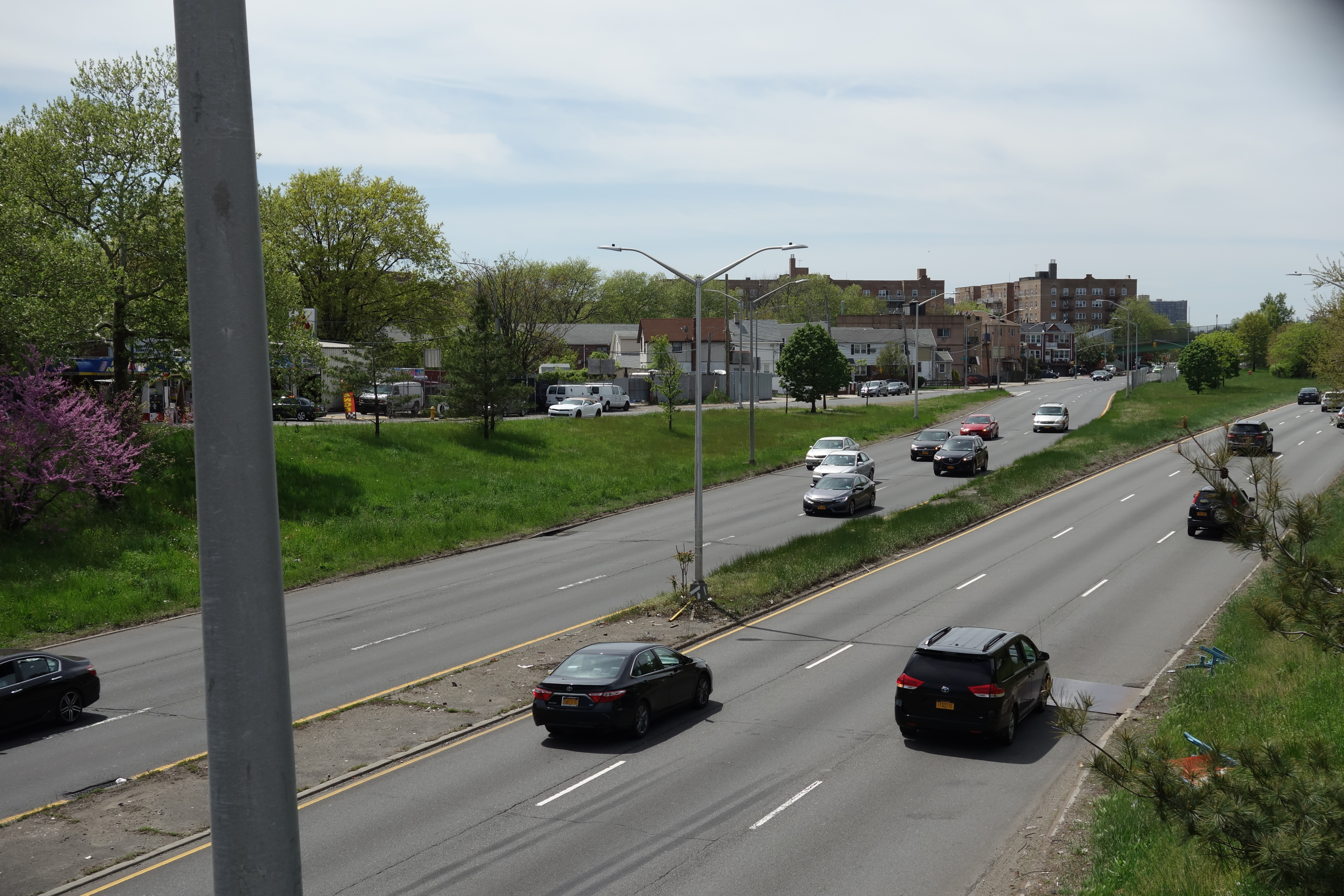
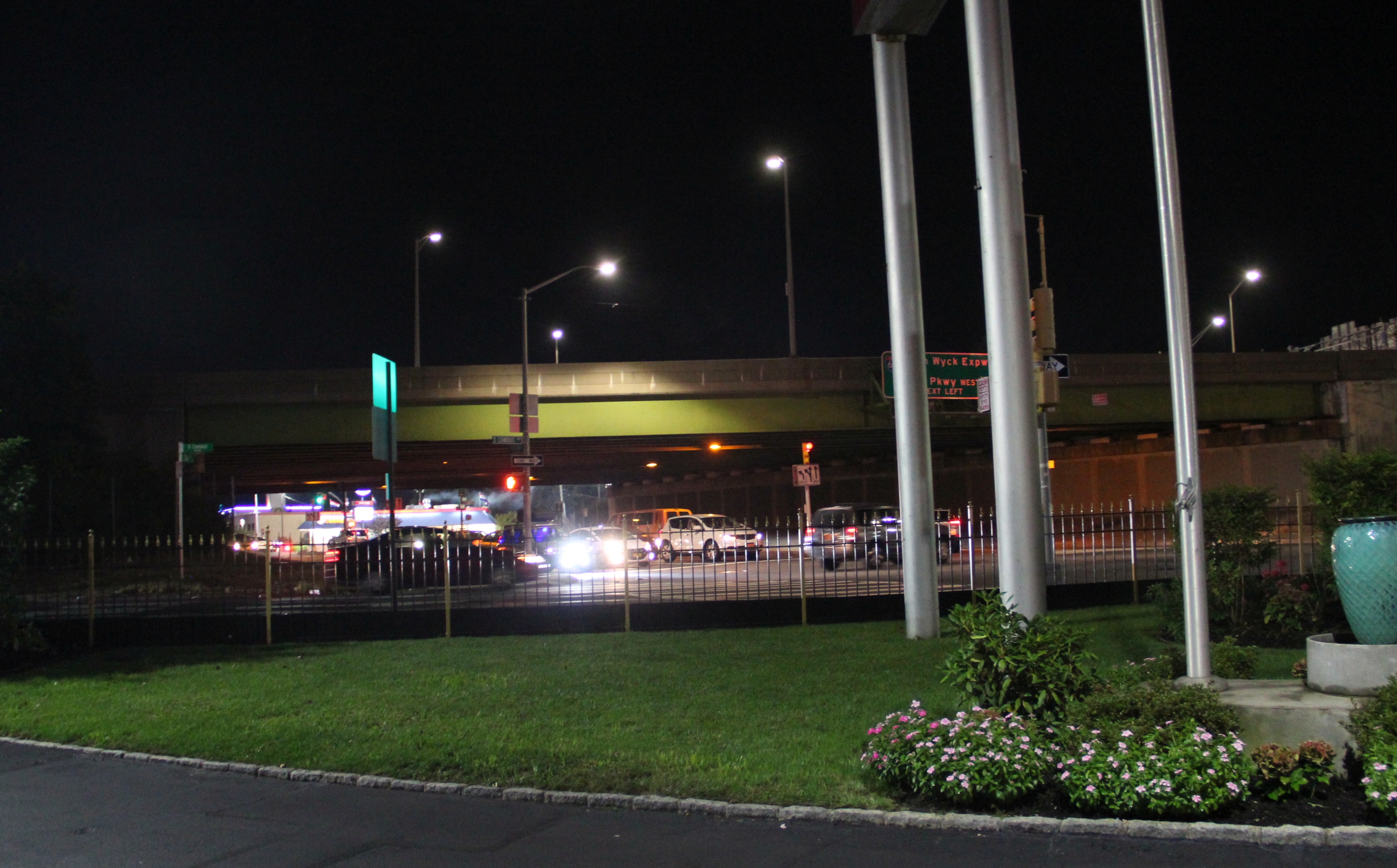
Interstate 678 (I-678) is a north–south auxiliary Interstate Highway that extends for through two boroughs of New York City. The route begins at John F. Kennedy International Airport on Jamaica Bay and travels north through Queens and across the East River to the Bruckner Interchange in the Bronx, where I-678 ends and the Hutchinson River Parkway begins. I-678 connects to I-495 (the Long Island Expressway) in Flushing Meadows–Corona Park. The highway is known as the Van Wyck Expressway ( or ) from JFK Airport to Northern Boulevard ( New York State Route 25A or NY 25A), the Whitestone Expressway from NY 25A north to the Bronx–Whitestone Bridge, and the Hutchinson River Expressway from the bridge to the Bruckner Interchange. North of the interchange, I-678 ends and the roadway continues as the Hutchinson River Parkway. The portion of I-678 north of NY 25A follows the path of the Whitestone Parkway and a short section of the Hutchinson River Park ... [...More Info...] [...Related Items...] OR: [Wikipedia] [Google] [Baidu] |
Interstate 495 (New York)
Interstate 495 (I-495), commonly known as the Long Island Expressway (LIE), is an auxiliary Interstate Highway in the U.S. state of New York. It is jointly maintained by the New York State Department of Transportation (NYSDOT), the New York City Department of Transportation (NYCDOT), MTA Bridges and Tunnels (MTAB&T), and the Port Authority of New York and New Jersey (PANYNJ). Spanning approximately along a west–east axis, I-495 traverses Long Island from the western portal of the Queens–Midtown Tunnel in the New York City borough of Manhattan to CR 58 in Riverhead in the east. I-495 intersects with I-295 in Bayside, Queens, through which it connects with I-95. The 2017 route log erroneously shows the section of highway between I-278 in Long Island City and I-678 in Corona as New York State Route 495 (NY 495). The Long Island Expressway designation, despite being commonly applied to I-495 in full, technically refers to the stretch of highway in Nassau and Suffolk co ... [...More Info...] [...Related Items...] OR: [Wikipedia] [Google] [Baidu] |
Bronx–Whitestone Bridge
The Bronx–Whitestone Bridge (colloquially referred to as the Whitestone Bridge or simply the Whitestone) is a suspension bridge in New York City, carrying six lanes of Interstate 678 over the East River. The bridge connects Throggs Neck and Ferry Point Park in the Bronx, on the East River's northern shore, with the Whitestone neighborhood of Queens on the southern shore. Although the Bronx–Whitestone Bridge's construction was proposed as early as 1905, it was not approved until 1936. The bridge was designed by Swiss-American architect Othmar Ammann and design engineer Allston Dana and opened to traffic with four lanes on April 29, 1939. The bridge's design was similar to that of the Tacoma Narrows Bridge, which collapsed in 1940. As a result, extra stiffening trusses were added to the Bronx–Whitestone Bridge in the early 1940s, and it was widened to six lanes during the same project. The Bronx–Whitestone Bridge was also renovated in 1988–1991 to repair the an ... [...More Info...] [...Related Items...] OR: [Wikipedia] [Google] [Baidu] |
Bruckner Interchange
The Bruckner Interchange is a complex interchange in the New York City borough of The Bronx in the United States. The junction connects four highways: the Bruckner, Cross Bronx, and Hutchinson River (or Whitestone) Expressways, and the Hutchinson River Parkway. It was constructed in the 1960s; however, elements of the junction date as far back as the 1940s. The interchange includes connections to several interstate routes, including I-278, I-678, I-295 and I-95. Description The Bruckner Interchange is located in the southeastern portion of The Bronx in the neighborhoods of Unionport (near Castle Hill) and Schuylerville. It is linear-shaped, comprising a series of closely spaced ramps that extend for roughly on an east–west axis. The junction crosses Westchester Creek about from its south end at the East River. The interchange serves as the meeting point of four highways: the Cross Bronx Expressway to the northwest and its extension to the southeast; the Bruckner Expre ... [...More Info...] [...Related Items...] OR: [Wikipedia] [Google] [Baidu] |
Hutchinson River Parkway
The Hutchinson River Parkway (known colloquially as The Hutch) is a north–south parkway in southern New York (state), New York in the United States. It extends for from the massive Bruckner Interchange in the Throggs Neck section of the Bronx to the New York–Connecticut state line at Rye Brook, New York, Rye Brook. The parkway continues south from the Bruckner Interchange as the Whitestone Expressway (Interstate 678) and north into Greenwich, Connecticut, as the Merritt Parkway (Connecticut Route 15). The roadway is named for the Hutchinson River, a 10-mile-long (16 km) stream in southern Westchester County, New York, Westchester County that the road follows alongside. The river, in turn, was named for English Colonial history of the United States, colonial religious leader Anne Hutchinson. Construction of the parkway began in 1924 and was completed in 1941. The section of the parkway between Eastern Boulevard (now Bruckner Boulevard) in the Bronx and U.S. Route ... [...More Info...] [...Related Items...] OR: [Wikipedia] [Google] [Baidu] |
New York State Route 878
New York State Route 878 (NY 878) is a state highway on Long Island and in New York City. The route exists in two sections, which both form the Nassau Expressway. NY 878's western terminus is the Belt Parkway and Conduit Avenue ( NY 27) in Ozone Park, within southern Queens. Its southern terminus is immediately before the Village of Atlantic Beach, at the Atlantic Beach Bridge in Lawrence, within southwestern Nassau County. NY 878 is discontinuous between Farmers Boulevard in Queens and the town of Inwood in Nassau County. The two sections are connected to each other by Rockaway Boulevard and Rockaway Turnpike. NY 878 is maintained in part by the New York City Department of Transportation (NYCDOT); the New York State Department of Transportation (NYSDOT); and the government of Nassau County. The NYSDOT also maintains part of Rockaway Boulevard, which is designated as the reference route NY 909G. The of NY 878 between I-678 and the ... [...More Info...] [...Related Items...] OR: [Wikipedia] [Google] [Baidu] |
JFK Expressway
The JFK Expressway is a short freeway connecting the Belt Parkway with John F. Kennedy International Airport in Queens, New York City. It interchanges with the Nassau Expressway ( New York State Route 878 or NY 878) near the former proposed south end of the Clearview Expressway ( Interstate 295 or I-295). The roadway is the newest expressway in New York City, opened in December 1991. Route description The JFK Expressway begins on the grounds of John F. Kennedy International Airport in Queens, New York City. The road has southbound ramps that provide access to Terminals 1-2-3, Terminal 4, and Terminals 5-6-7 along with the parking areas to Terminals 4 and 5. The northbound direction has access from all these points. The northbound direction has an exit that provides access to the I-678 (Van Wyck Expressway) that also provides access to long-term parking, rental car returns, as well as return access to the terminals. There is also a southbound entrance from I ... [...More Info...] [...Related Items...] OR: [Wikipedia] [Google] [Baidu] |
Whitestone, Queens
Whitestone is a residential neighborhood in the northernmost part of the New York City borough of Queens. The neighborhood proper is located between the East River to the north; College Point and Whitestone Expressway to the west; Flushing and 25th Avenue to the south; and Bayside and Francis Lewis Boulevard to the east. Whitestone contains the subsection of Malba, which is bounded to the north by the East River, to the east by the Whitestone Expressway, to the south by 14th Avenue, and to the west by 138th Street. Malba was cited in a ''New York Times'' article as one of the few "elite enclaves" of Queens. Whitestone is located in Queens Community District 7 and its ZIP Code is 11357. It is patrolled by the New York City Police Department's 109th Precinct. Politically, Whitestone is represented by the New York City Council's 19th District. History Whitestone Dutch settlers derived the name of the town from limestone that used to lie on the shore of the river according ... [...More Info...] [...Related Items...] OR: [Wikipedia] [Google] [Baidu] |
New York State Route 25A
New York State Route 25A (NY 25A) is a state highway on Long Island in New York, United States. It serves as the main east–west route for most of the North Shore of Long Island, running for from Interstate 495 (I-495) at the Queens–Midtown Tunnel in the New York City borough of Queens to NY 25 in Calverton, Suffolk County. The highway is a northern alternate route of NY 25, which follows a more inland routing along Jericho Turnpike. The route is known for its scenic path through decidedly lesser-developed areas such as Brookville, Fort Salonga, Centerport, and the Roslyn Viaduct. It is known by various names along its routing, the most prominent of which include Northern Boulevard, North Hempstead Turnpike, Main Street, Fort Salonga Road, and North Country Road. It merges with NY 25 for approximately in Smithtown. Route description Queens NY 25A begins at I-495 exit 14—the second exit off the expressway—in Long Island ... [...More Info...] [...Related Items...] OR: [Wikipedia] [Google] [Baidu] |
Flushing Meadows–Corona Park
Flushing Meadows–Corona Park, often referred to as Flushing Meadows Park, or simply Flushing Meadows, is a public park in the northern part of Queens, New York City. It is bounded by I-678 (Van Wyck Expressway) on the east, Grand Central Parkway on the west, Flushing Bay on the north, and Union Turnpike on the south. Flushing Meadows–Corona Park is the fourth-largest public park in New York City, with a total area of . Until the 19th century, the site consisted of wetlands straddling the Flushing River, which traverses the region from north to south. Starting in the first decade of the 20th century, it was used as a dumping ground for ashes, since at the time, the land was so far away from the developed parts of New York City as to be considered almost worthless. New York City Parks Commissioner Robert Moses first conceived the idea of developing a large park in Flushing Meadow in the 1920s as part of a system of parks across eastern Queens. Flushing Meadows–Corona P ... [...More Info...] [...Related Items...] OR: [Wikipedia] [Google] [Baidu] |
New York State Route 27
New York State Route 27 (NY 27) is a long state highway that runs east–west from Interstate 278 (I-278) in the New York City borough of Brooklyn to Montauk Point State Park on Long Island, New York. Its two most prominent components are Sunrise Highway and Montauk Highway, the latter of which includes the Montauk Point State Parkway. NY 27 acts as the primary east–west highway on southern Long Island east of the interchange with the Heckscher State Parkway in Islip Terrace. The entire route in Suffolk, Nassau, and Queens counties were designated by the New York State Senate as the POW/MIA Memorial Highway. The highway gives access to every town on the South Shore. NY 27 is the easternmost state route in the state of New York. NY 27 has service roads that parallel the highway continuously from North Lindenhurst to Patchogue, and intermittently to the east into Southampton. They are officially designated, but not signed, as New York State Rout ... [...More Info...] [...Related Items...] OR: [Wikipedia] [Google] [Baidu] |
JFK Airport
John F. Kennedy International Airport (colloquially referred to as JFK Airport, Kennedy Airport, New York-JFK, or simply JFK) is the main international airport serving New York City. The airport is the busiest of the seven airports in the New York airport system, the 13th-busiest airport in the United States, and the busiest international air passenger gateway into North America. Over 90 airlines operate from the airport, with nonstop or direct flights to destinations in all six inhabited continents. JFK is located in the Jamaica neighborhood of Queens, southeast of Midtown Manhattan. The airport features six passenger terminals and four runways. It is primarily accessible via car, bus, shuttle, or other vehicle transit via the JFK Expressway or Interstate 678 (Van Wyck Expressway), or via train. JFK is a hub for both American Airlines and Delta Air Lines, as well as the primary operating base for JetBlue. JFK is also a former hub for Braniff, Eastern, National, North ... [...More Info...] [...Related Items...] OR: [Wikipedia] [Google] [Baidu] |

.jpg)


