|
Hōyo Fortress
was the name of a group of coastal fortifications built to guard the Hōyo Strait at the entrance to Bungo Channel between the Japanese islands of Kyushu and Shikoku and this the western entrance to the Seto Inland Sea. These gun batteries and fortifications ceased to be used after the end of World War II. History After the Meiji restoration, the primary threats to the new Empire of Japan were perceived to be Qing China's Beiyang fleet, followed by the Russian Empire's Pacific Fleet. The Meiji government ordered the construction of a set of coastal fortifications to protect the strategic waterway and approaches to major coastal cities. Initially, the Hiroshima Port Fortress was constructed to protect the city of Hiroshima, which was the location of the Imperial General Headquarters in the First Sino-Japanese War and the Geiyō Fortress was constructed to control the Kurushima Strait, a narrows in the Seto Inland Sea between Hiroshima and Shikoku, which blocked the western a ... [...More Info...] [...Related Items...] OR: [Wikipedia] [Google] [Baidu] |
Bungo Channel
The is a strait separating the Japanese islands of Kyushu and Shikoku. It connects the Philippine Sea and the Seto Inland Sea on the western end of Shikoku. The narrowest part of this channel is the Hōyo Strait. In the English-speaking world, the Bungo Strait is most known as a setting in the 1958 World War II submarine film '' Run Silent, Run Deep'', based upon the best-selling 1955 novel by then-Commander Edward L. Beach Jr.Sheffield, Richard. (2009). ; Leeman, Sergio and Robert Wise. (1995). ''Robert Wise on his Films: from Editing Room to Director's Chair,'' p. 145. Notes References * Leeman, Sergio and Robert Wise. (1995). ''Robert Wise on his Films: from Editing Room to Director's Chair.'' Los Angeles: Silman-James. OCLC 243829638* Nussbaum, Louis-Frédéric and Käthe Roth. (2005) ''Japan encyclopedia.''Cambridge: Harvard University Press Harvard University Press (HUP) is an academic publishing house established on January 13, 1913, as a division of Harvard Un ... [...More Info...] [...Related Items...] OR: [Wikipedia] [Google] [Baidu] |
Meiji Government
The was the government that was formed by politicians of the Satsuma Domain and Chōshū Domain in the 1860s. The Meiji government was the early government of the Empire of Japan. Politicians of the Meiji government were known as the Meiji oligarchy, who overthrew the Tokugawa shogunate. Early developments After the Meiji Restoration, the leaders of the ''samurai'' who overthrew the Tokugawa shogunate had no clear agenda or pre-developed plan on how to run Japan. They did have a number of things in common; according to Andrew Gordon, “It was precisely their intermediate status and their insecure salaried position, coupled with their sense of frustrated ambition and entitlement to rule, that account for the revolutionary energy of the Meiji insurgents and their far-reaching program of reform”. most were in their mid-40s, and most were from the four '' tozama'' domains of western Japan (Chōshū, Satsuma, Tosa and Hizen). Although from lower-ranked ''samurai'' families, ... [...More Info...] [...Related Items...] OR: [Wikipedia] [Google] [Baidu] |
Russo-Japanese War
The Russo-Japanese War (8 February 1904 – 5 September 1905) was fought between the Russian Empire and the Empire of Japan over rival imperial ambitions in Manchuria and the Korean Empire. The major land battles of the war were fought on the Liaodong Peninsula and near Shenyang, Mukden in Southern Manchuria, with naval battles taking place in the Yellow Sea and the Sea of Japan. Russia had pursued an expansionist policy in Siberia and the Russian Far East, Far East since the reign of Ivan the Terrible in the 16th century. At the end of the First Sino-Japanese War, the Treaty of Shimonoseki of 1895 had ceded the Liaodong Peninsula and Lüshun Port, Port Arthur to Japan before the Triple Intervention, in which Russia, Germany, and France forced Japan to relinquish its claim. Japan feared that Russia would impede its plans to establish a sphere of influence in mainland Asia, especially as Russia built the Trans-Siberian Railway, Trans-Siberian Railroad, began making inroads in K ... [...More Info...] [...Related Items...] OR: [Wikipedia] [Google] [Baidu] |
28 Cm Howitzer L/10
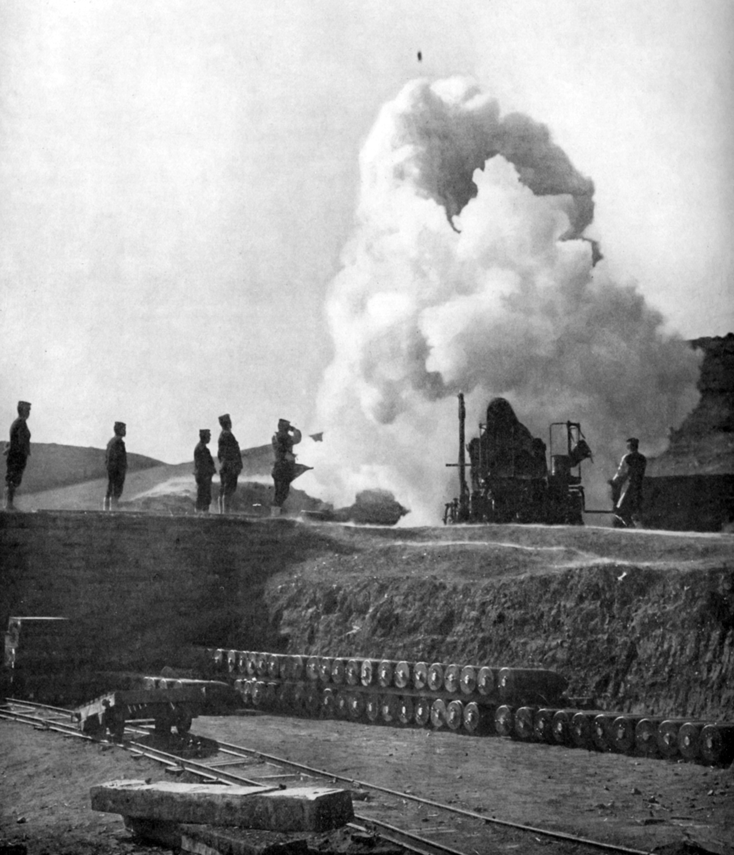
The was a Imperial Japanese Army, Japanese Coastal artillery, coastal and siege engine, siege howitzer. It was developed by Armstrong Whitworth, Armstrong before 1892 and saw service in the Russo-Japanese War during the siege of Port Arthur and the Second Sino-Japanese War. Design and description The 28 cm Howitzer L/10 was designed in 1884 by the British Armstrong Whitworth, Armstrong company. Armstrong had an Italian subsidiary which produced guns for the Italian Navy and Major Pompeo Grillo, a heavy artillery specialist was hired in April 1884 to help the construction of artillery at a new plant in Osaka. The description from Brassey's Naval Annual of 1892 reads "The howitzer was a 28-cm rifled breech-loader of cast iron, 9 calibres long made at Osaka, from the designs of guns made for the Italians by Sir W. G. Armstrong Whitworth & Co, Sir W.G. Armstrong". The Italians produced the design in a number of different lengths and they were designated by their diameter and l ... [...More Info...] [...Related Items...] OR: [Wikipedia] [Google] [Baidu] |
Nishiuwa District, Ehime
is a district located in Ehime Prefecture, Japan. As of 2007, the district has an estimated population of 12,304 with a total area of 94.34 km2. The district consists of one town. * Ikata History *In accordance with 1878 Land Reforms, the district was founded after breaking off from the Uwa District. (1 town, 22 villages) *February 1898 — The village of Hirano was reassigned to the Kita District (now the city of Ōzu). (1 town, 21 villages) *August 1, 1914 — The village of Kawanoishi gained town status. (2 towns, 20 villages) *September 3, 1921 — The village of Mikame gained town status. (3 towns, 19 villages) *July 1, 1928 — The village of Kamiyama gained town status. (4 towns, 18 villages) *January 1, 1930 — The village of Yanozaki merged into the town of Yawatahama. (4 towns, 17 villages) *February 11, 1935 — The villages of Senjō, Shitada, and the town of Kamiyama merged into city of Yawatahama. (2 towns, 15 villages) *January 1, 1955 — The vill ... [...More Info...] [...Related Items...] OR: [Wikipedia] [Google] [Baidu] |
Ikata
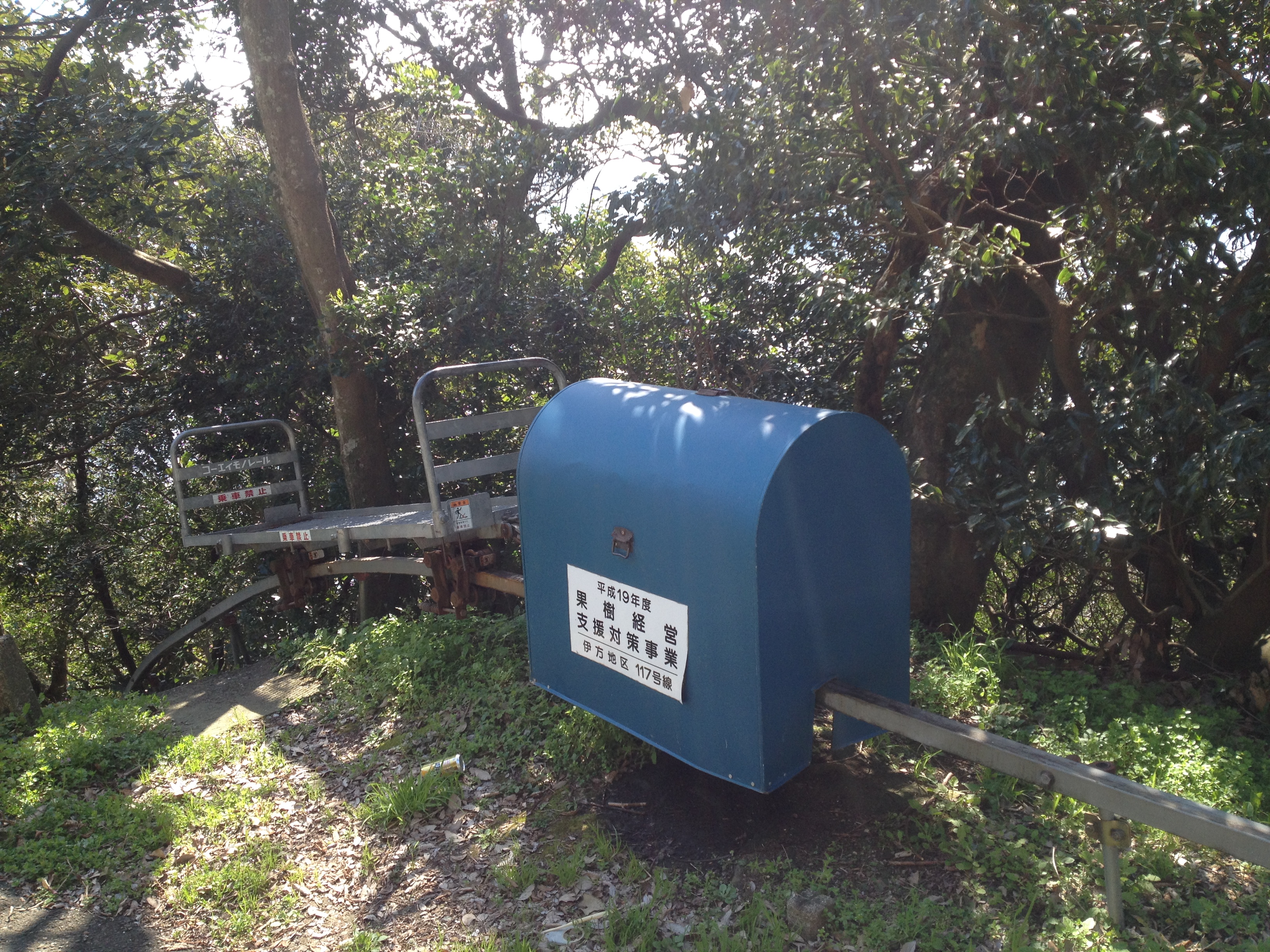
is a small peninsula town located in Nishiuwa District, Ehime Prefecture, Japan. , the town had an estimated population of 8,497 in 15638 households and a population density of 90 persons per km2. The total area of the town is Following a recent merger with the neighboring towns of Misaki and Seto, the town now spans the mountainous Sadamisaki Peninsula, the narrowest peninsula in Japan and the westernmost point on the island of Shikoku. This unique geography has greatly influenced Ikata's growth. On the one hand, it has presented significant challenges to urban development that were not overcome until recently in the town's long history. On the other, the peninsula is what gives the town its beautiful mountain and ocean scenery which, bolstered by significant investments in infrastructure and tourist facilities, has formed the basis for a burgeoning tourism industry. In addition to the beauty of its rugged, natural landscape, Ikata has long been known for fishing and mikan o ... [...More Info...] [...Related Items...] OR: [Wikipedia] [Google] [Baidu] |
Saganoseki, Ōita
was a town located in Kitaamabe District, Ōita Prefecture, Japan. Population As of 2003, the town had an estimated population of 12,367 and the density Density (volumetric mass density or specific mass) is the ratio of a substance's mass to its volume. The symbol most often used for density is ''ρ'' (the lower case Greek letter rho), although the Latin letter ''D'' (or ''d'') can also be u ... of 250.39 persons per km2. The total area was 49.39 km2. History On January 1, 2005, Saganoseki, along with the town of Notsuharu (from Kitaamabe District), was merged with the expanded city of Ōita. References Dissolved municipalities of Ōita Prefecture Ōita (city) {{Oita-geo-stub ... [...More Info...] [...Related Items...] OR: [Wikipedia] [Google] [Baidu] |
Saiki, Ōita
is a city located in Ōita Prefecture, Japan. , the city had an estimated population of 65,870 in 32921 households, and a population density of 73 persons per km2. The total area of the city is , making it the largest city by area in Kyushu. Geography Saiki is located in southeastern Ōita Prefecture, approximately 60 kilometers southeast of the prefectural capital at Ōita City. The eastern part faces the Bungo Channel and is within the borders of the Nippō Kaigan Quasi-National Park. It is noted for its ria coastal areas. The inland area of the city is mountainous and within the borders of the Sobo-Katamuki Quasi-National Park. The city is built on the largest alluvial plain in the prefecture, created by the Bansho River, a first-class river that flows through the city. Neighboring municipalities Miyazaki Prefecture * Hinokage * Nobeoka Ōita Prefecture * Bungo-Ōno * Tsukumi Climate Saiki has a humid subtropical climate (Köppen climate classification ''Cfa'') wit ... [...More Info...] [...Related Items...] OR: [Wikipedia] [Google] [Baidu] |
Ōita (city)
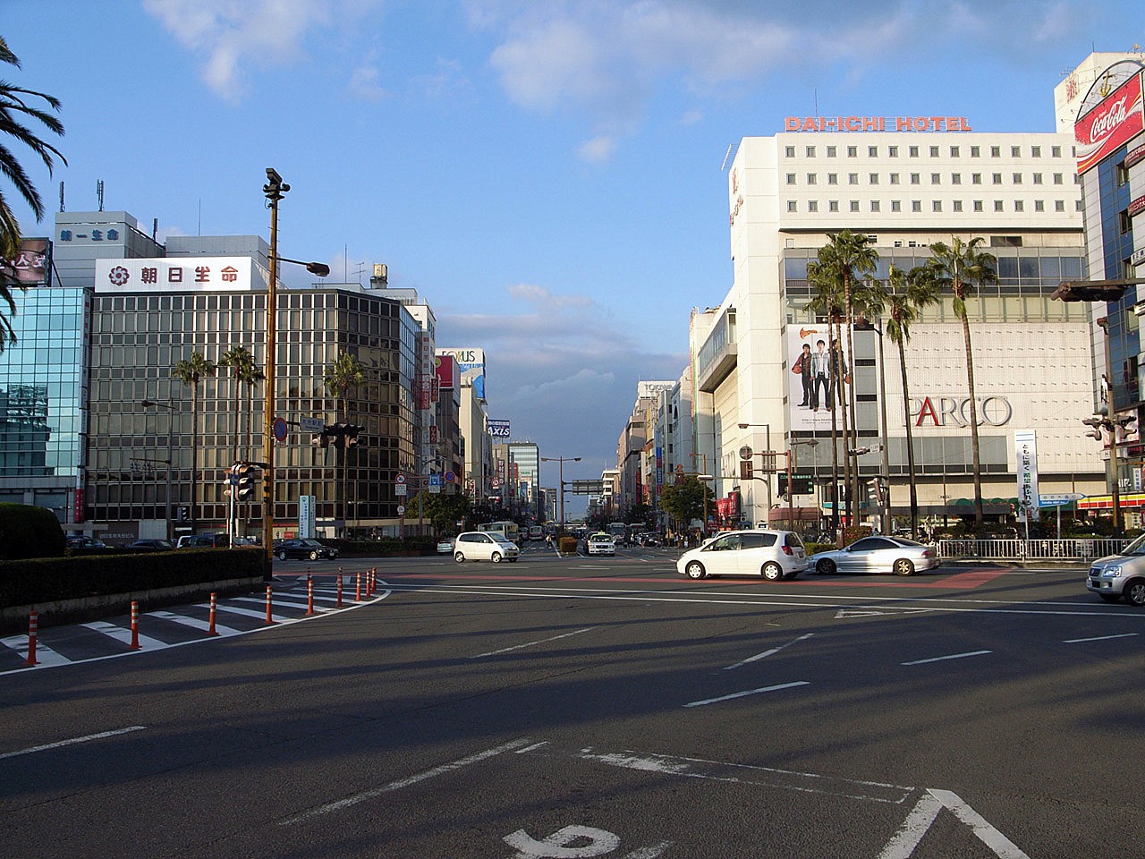
file:Oita City Hall.jpg, Ōita City Hall is the capital Cities of Japan, city of Ōita Prefecture, located on the island of Kyushu, Japan. , the city had an estimated population of 474,804 in 230,867 households, and a population density of 950 persons per km2. The total area of the city is . Geography Ōita city is located in east-central Ōita Prefecture, facing Beppu Bay on the Seto Inland Sea. The Ōno River flows from the south to the east, and the Ōita River flows from the west to the west, with the main urban center on the west side of the mouth of the Ōita River, with the Ōita Plain consisting of deltas and alluvial plains formed by the Ōita River and the Ōno River, and surrounding hills. The Takashima area in of the city is within the borders of the Seto Inland Sea National Park. Neighboring municipalities Ōita Prefecture *Beppu, Ōita, Beppu to the northwest *Bungo-Ōno, Ōita, Bungo-Ōno to the south *Taketa, Ōita, Taketa to the southwest *Usuki, Ōita, Usu ... [...More Info...] [...Related Items...] OR: [Wikipedia] [Google] [Baidu] |
Osaka
is a Cities designated by government ordinance of Japan, designated city in the Kansai region of Honshu in Japan. It is the capital of and most populous city in Osaka Prefecture, and the List of cities in Japan, third-most populous city in Japan, following the special wards of Tokyo and Yokohama. With a population of 2.7 million in the 2020 census, it is also the largest component of the Keihanshin, Keihanshin Metropolitan Area, which is the List of metropolitan areas in Japan, second-largest metropolitan area in Japan and the 10th-List of urban areas by population, largest urban area in the world with more than 19 million inhabitants. Ōsaka was traditionally considered Japan's economic hub. By the Kofun period (300–538) it had developed into an important regional port, and in the 7th and 8th centuries, it served briefly as the imperial capital. Osaka continued to flourish during the Edo period (1603–1867) and became known as a center of Japanese culture. Following the M ... [...More Info...] [...Related Items...] OR: [Wikipedia] [Google] [Baidu] |
Kobe
Kobe ( ; , ), officially , is the capital city of Hyōgo Prefecture, Japan. With a population of around 1.5 million, Kobe is Japan's List of Japanese cities by population, seventh-largest city and the third-largest port city after Port of Tokyo, Tokyo and Port of Yokohama, Yokohama. It is located in the Kansai region, which makes up the southern side of the main island of Honshu, Honshū, on the north shore of Osaka Bay. It is part of the Keihanshin metropolitan area along with Osaka and Kyoto. The Kobe city centre is located about west of Osaka and southwest of Kyoto. The earliest written records regarding the region come from the , which describes the founding of the Ikuta Shrine by Empress Jingū in AD 201.Ikuta Shrine official website – "History of Ikuta Shrine" (Japanese) [...More Info...] [...Related Items...] OR: [Wikipedia] [Google] [Baidu] |


