|
Highway M02 (Ukraine)
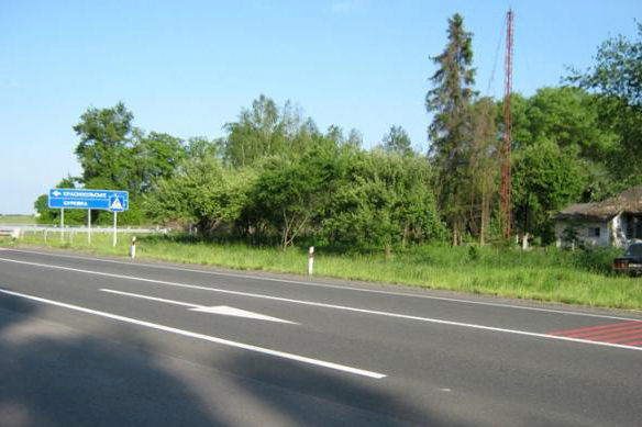
Highway M02 is a Ukraine international highway ( M-highway) connecting the M01 near Kipti with Bachivsk on the border with Russia, where it continues as the M3 to Moscow. The entire route is part of European route E101 and the section from Hlukhiv to the Russian border is part of European route E391. The M02 stretches through both the Chernihiv Oblast and the Sumy Oblast and ends at the border checkpoint at Bachivsk which is part of Hlukhiv Raion. Route goes through several historical cities of the Cossack Ukraine of 17th century. Route Notes See also * Ukraine Highways * International E-road network The international E-road network is a numbering system for roads in Europe developed by the United Nations Economic Commission for Europe, United Nations Economic Commission for Europe (UNECE). The network is numbered from E1 up and its roads ... * Pan-European corridors References External linksInternational Roads in Ukrainein Russianin Russian {{Roads in Uk ... [...More Info...] [...Related Items...] OR: [Wikipedia] [Google] [Baidu] |
Chernihiv Oblast
Chernihiv Oblast ( uk, Черні́гівська о́бласть, translit=Chernihivska oblast; also referred to as Chernihivshchyna, uk, Черні́гівщина, translit=Chernihivshchyna) is an oblast (province) of northern Ukraine. The administrative center of the oblast is the city of Chernihiv. Within the Oblast are 1,511 settlements of various sizes ranging from large cities to very small villages. Population: Geography The total area of the province is around 31,900 km². On the west, the oblast is bordered by the Kyiv Reservoir of the Dnieper River and Kyiv Oblast, which has a enclave known as Slavutych, which was created from Chernihiv Oblast for the inhabitants of Chernobyl following the Chernobyl disaster. It is bordered by Sumy Oblast to the east and Poltava Oblast to the south. The northern border of the oblast is part of Ukraine's international border abutting Belarus's Homyel Voblast in the north-west and the Russian Bryansk Oblast in the nor ... [...More Info...] [...Related Items...] OR: [Wikipedia] [Google] [Baidu] |
Hlukhiv Raion
Hlukhiv Raion ( uk, Глухівський район) was a raion in Sumy Oblast in Central Ukraine. The administrative center of the raion was the town of Hlukhiv, which was administratively incorporated as a city of oblast significance and did not belong to the raion. The raion was abolished on 18 July 2020 as part of the administrative reform of Ukraine, which reduced the number of raions of Sumy Oblast to five. The last estimate of the raion population was References Former raions of Sumy Oblast 1923 establishments in Ukraine Ukrainian raions abolished during the 2020 administrative reform {{Sumy-geo-stub ... [...More Info...] [...Related Items...] OR: [Wikipedia] [Google] [Baidu] |
International E-road Network
The international E-road network is a numbering system for roads in Europe developed by the United Nations Economic Commission for Europe, United Nations Economic Commission for Europe (UNECE). The network is numbered from E1 up and its roads cross national borders. It also reaches Central Asian countries like Kyrgyzstan, since they are members of the UNECE. Main international traffic arteries in Europe are defined by ECE/TRANS/SC.1/2016/3/Rev.1 which consider three types of roads: motorways, Limited-access road, limited access roads, and ordinary roads. In most countries, the roads carry the European route designation alongside national designations. Belgium, Norway and Sweden have roads which only have the European route designations (examples: European route E18, E18 and European route E6, E6). The United Kingdom, Iceland and Albania only use national road designations and do not show the European designations at all. Ukraine does not number its routes at all except in int ... [...More Info...] [...Related Items...] OR: [Wikipedia] [Google] [Baidu] |
Hlukhiv
Hlukhiv ( uk, Глу́хів, ) or Glukhov (russian: Глухов, translit=Glukhov) is a small historic town on the Esman River. It is a city of regional significance in the Sumy region of Ukraine. Hlukhiv is administratively incorporated as a city of oblast significance. Hlukhiv Municipality includes Hlukhiv and the village of Sliporod. Hlukhiv also serves as administrative center of Hlukhiv Raion but does not belong to the raion. Population: It is known for being a capital of the Cossack Hetmanate after deposition of Ivan Mazepa in 1708–1764. The former Soviet Chervone-Pustohorod air base is located near Hlukhiv. History First noticed by chroniclers as a Severian town in 1152. Sometime in 1247 Hlukhiv became the seat of a branch of the princely house of Chernigov following the Mongol invasion of Rus. Between 1320 and 1503 it was part of the Grand Duchy of Lithuania before being conquered by the Grand Duchy of Moscow. In 1618 it became part of the Polish–Lithu ... [...More Info...] [...Related Items...] OR: [Wikipedia] [Google] [Baidu] |
Krolevets
Krolevets ( uk, Кролевець ; pl, Królewiec) is a city in Sumy Oblast, Ukraine. Population: In 2001, population was 25,183. History Named in honor of the Polish King Sigismund III, Krolevets was founded in 1601 and it was originally part of Poland. The original name was written as Krolewac (Krulevats). In 1644 it was granted Magdeburg city rights by Polish King Władysław IV Vasa. Krolevets was annexed by the Tsardom of Russia in 1667 (Truce of Andrusovo). In 1802 it was incorporated into the Chernigov Governorate. A local newspaper is published in the city since 1919. During World War II World War II or the Second World War, often abbreviated as WWII or WW2, was a world war that lasted from 1939 to 1945. It involved the World War II by country, vast majority of the world's countries—including all of the great power ..., Krolevets was occupied by the German Army from 3 September 1941 to 1 September 1943. Transportation Krolevets is situated on t ... [...More Info...] [...Related Items...] OR: [Wikipedia] [Google] [Baidu] |
Baturyn
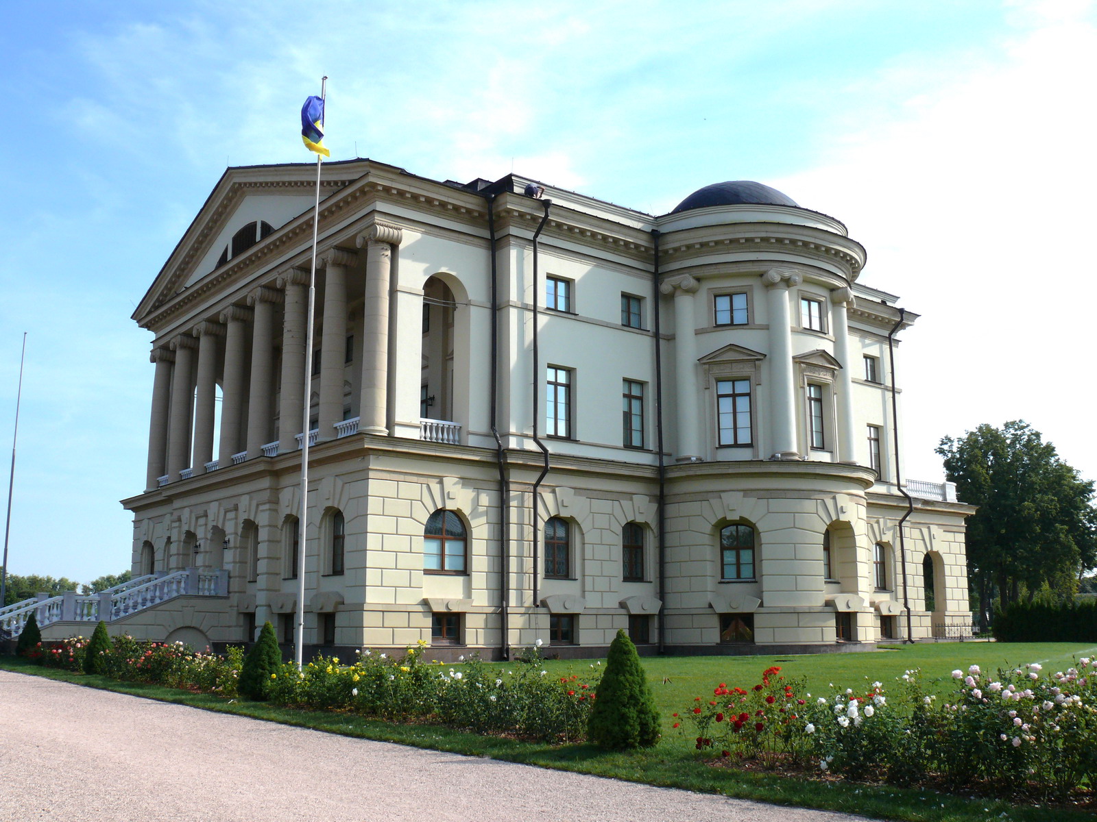
Baturyn ( uk, Бату́рин, ), is a historic city in Chernihiv Oblast (province) of northern Ukraine. It is located in Nizhyn Raion (district) on the banks of the Seym River. Baturyn lost its city status in 1923 and received it back only in 2008. It hosts the administration of Baturyn urban hromada, one of the hromadas of Ukraine. Population: History Evidence of settlement in the area of present-day Baturyn dates back to the Neolithic era, with digging having also revealed Bronze Age and Scythian remains. According to some modern writers, the earliest fortress at Baturyn would have been created by the Grand Principality of Chernihiv in the 11th century. The contemporary name for the settlement, however, was first mentioned in the 1625, likely referring to the fortress of Stefan Batory (1533-1586, King of Poland, Prince of Transylvania, and Grand Duke of Lithuania), which was built and named in his honor. The area had been part of the Polish–Lithuanian Commonwealth ( ... [...More Info...] [...Related Items...] OR: [Wikipedia] [Google] [Baidu] |
Borzna
Borzna (, ), also referred to as Borsna, is a historic town in northern Ukraine, in Nizhyn Raion of Chernihiv Oblast. It hosts the administration of Borzna urban hromada, one of the hromadas of Ukraine. Population: Location Borzna is located on the Desna, next to an international highway connecting Kyiv and Moscow ( E101). Chernihiv is about away. Borzna has no railway (the nearest railway stations being Doch () with north–south routes and Plysky () with west–east routes. The city derives its name from the river it lies on, a tributary of the Desna. Climate Borzna has a humid continental climate ( Koppen ''Dfb''). The warmest months are June, July, and August, with mean temperatures of . The coldest are December, January, and February, with mean temperatures of . The highest ever temperature recorded in the town was in July 2010. The coldest temperature ever recorded in the city was in January 1987. Snow cover usually lies from mid-November to the end of Mar ... [...More Info...] [...Related Items...] OR: [Wikipedia] [Google] [Baidu] |
Nizhyn
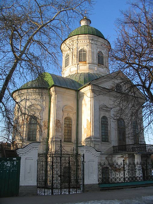
Nizhyn ( uk, Ні́жин, Nizhyn, ) is a city located in Chernihiv Oblast of northern Ukraine along the Oster River. The city is located north-east of the national capital Kyiv. Nizhyn serves as the administrative center of Nizhyn Raion. It hosts the administration of Nizhyn urban hromada which is one of the hromadas of Ukraine and was once a major city of the Chernigov Governorate. Nizhyn has a population of History The earliest known references to the location go back to 1147, when it was briefly mentioned as Unenezh. In the times of the Polish–Lithuanian Commonwealth, Nizhyn was granted Magdeburg rights (1625) as a self-governing town. In 1663 Nizhyn was the place of the Black Council of Ukrainian Cossacks, which elected Bryukhovetsky as the new Hetman of the Zaporizhian Host thus conditionally dividing Ukraine (Cossack Hetmanate) into left-bank Ukraine and right-bank Ukraine. It was also the seat of a major Cossack regiment (until 1782). Nizhyn was once a m ... [...More Info...] [...Related Items...] OR: [Wikipedia] [Google] [Baidu] |
Border Checkpoint
A border checkpoint is a location on an international border where travelers or goods are inspected and allowed (or denied) passage through. Authorization often is required to enter a country through its borders. Access-controlled borders often have a limited number of checkpoints where they can be crossed without legal sanctions. Arrangements or treaties may be formed to allow or mandate less restrained crossings (e.g. the Schengen Agreement). Land border checkpoints (land ports of entry) can be contrasted with the customs and immigration facilities at seaports, international airports, and other ports of entry. Checkpoints generally serve two purposes: * To prevent entrance of individuals who are either undesirable (e.g. criminals or others who pose threats) or simply unauthorized to enter. * To prevent entrance of goods that are illegal or subject to restriction, or to collect tariffs. Checkpoints are usually staffed by a uniformed service (sometimes referred to as cu ... [...More Info...] [...Related Items...] OR: [Wikipedia] [Google] [Baidu] |
Sumy Oblast
Sumy Oblast ( uk, Сумська́ о́бласть, translit=Sumska oblast; also referred to as Sumshchyna – uk, Су́мщина) is an oblast (province) in the northeastern part of Ukraine. Population: The oblast was created in its most recent form, from the merging of raions from Kharkiv Oblast, Chernihiv Oblast, and Poltava Oblast in 1939 by the Presidium of the Supreme Soviet of the Soviet Union. The administrative center of the oblast is the city of Sumy. Other important cities within the oblast include Konotop, Okhtyrka, Romny, and Shostka. The oblast has a heavy mix of agriculture and industry, with over 600 industrial locations. Importantly, seven rivers pass through the oblast. Geography The Sumy Oblast is situated in the northeastern part of Ukraine. It is situated on a border of two historical regions of Ukraine — Cossack Hetmanate (annexed by Russia in the 18th century as Little Russia, previously known as Severia) and Sloboda Ukraine. El ... [...More Info...] [...Related Items...] OR: [Wikipedia] [Google] [Baidu] |
European Route E391
The European road E391 or E391 is a European road running from Trosna in Russia to Hlukhiv in Ukraine. General The European road 391 is a Class B connection road and connect the Russian city Trosna with the Ukrainian city Hlukhiv which makes it at a distance of approximately 160 kilometers. The route has been recorded by the UNECE as follows: Trosna - Hlukhiv. Route * ** : Hlukhiv ( E101) - Russian border * **: Ukrainian border - Kalinovka (E101) **: Kalinovka - Trosna External links UN Economic Commission for Europe: Overall Map of E-road Network (2007) 391 __NOTOC__ Year 391 ( CCCXCI) was a common year starting on Wednesday (link will display the full calendar) of the Julian calendar. At the time, it was known as the Year of the Consulship of Tatianus and Symmachus (or, less frequently, year 114 ... European routes in Ukraine E391 {{Europe-road-stub ... [...More Info...] [...Related Items...] OR: [Wikipedia] [Google] [Baidu] |


