|
Hankey
Hankey is a small town on the confluence of the Klein and Gamtoos rivers in South Africa. It is part of the Kouga Local Municipality of the Sarah Baartman District in the Eastern Cape. History Hankey was established in 1826 and is the Gamtoos Valley's oldest town. It was named after the Rev. William Alers Hankey, (1771–1859) an ex-banker and the secretary of the London Missionary Society (LMS). He was born in Aberdeen, Scotland, (though the Missionary Society's successor body's obituary gives the place of his birth as London), the natural son of the London banker, merchant, Jamaica planter and treasurer of the Foundling Hospital, Thomas Hankey of Fetcham Park, and educated, according to his father's 1793 will, at the University of Edinburgh. Sir Maurice Hankey, later Lord Hankey, the creator of the modern UK Cabinet Office, was William Alers Hankey's descendant. The purpose of the establishment of the village was to grow mielies and corn for the LMS main station at B ... [...More Info...] [...Related Items...] OR: [Wikipedia] [Google] [Baidu] |
John Philip (missionary)
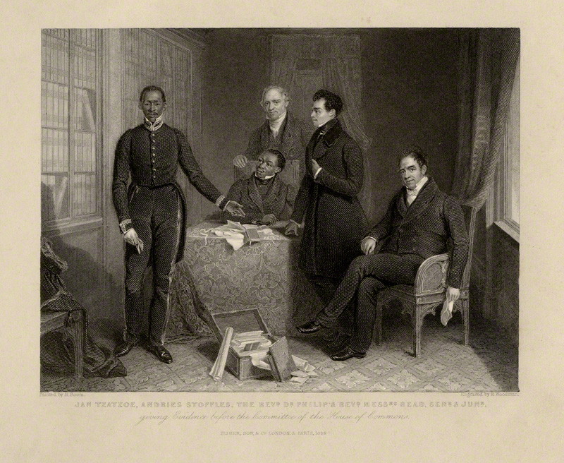
John Philip (14 April 1775 – 27 August 1851), was a missionary in South Africa. Philip was born at Kirkcaldy, Fife, Scotland to a local schoolmaster. After starting as an apprentice to a linen draper in Leven, and working as a clerk in Dundee, he entered the Wesleyan theological college at Hoxton, and in 1804 was appointed minister of the first Scottish Congregational chapel in Aberdeen. On 24 September 1809 he married Jane Ross, the daughter of a prosperous Aberdeen engineer; they had seven children. His daughter, Elizabeth (Eliza), married John Fairbairn, the renowned educator, politician and financier, on 24 May 1831. South Africa In 1818 Philip joined the delegation headed by John Campbell to investigate the threatened closure of London Missionary Society's stations in South Africa and reported that the conduct of the Cape Colonists towards the indigenous people was deserving of strong reprobation. In 1822 Philip was appointed superintendent of the London Missionary Soc ... [...More Info...] [...Related Items...] OR: [Wikipedia] [Google] [Baidu] |
Kouga Local Municipality
The Kouga Local Municipality is located in the Eastern Cape of South Africa, approximately 80 km west of Port Elizabeth, and forms part of the Sarah Baartman District Municipality. Its territory includes the coastal zone between the Van Stadens River in the east and the Tsitsikamma River in the west, and stretches inland towards the Baviaanskloof Mountains in the north. Regional access to the area is obtained via the N2 National Route from Port Elizabeth to Cape Town. It is often regarded as the cleanest municipality in the Eastern Cape. Topography and climate The municipality is characterised by 3 main topographical regions: * The coastal region stretches from the Van Stadens River in the east through the Tsitsikamma River in the west. This zone includes the towns of Jeffreys Bay, St Francis Bay, and Oyster Bay. The coast serves as a major national and regional tourism attraction. * The Gamtoos River Valley is characterised by wide, fertile flood plains associated ... [...More Info...] [...Related Items...] OR: [Wikipedia] [Google] [Baidu] |
R330 (Eastern Cape)
The R330 is a Regional Route in South Africa that connects Cape St. Francis on the south coast with Hankey to the north via Humansdorp. Route Its northern origin is an intersection with the R331 at Hankey. The route heads south-south-west. Just before reaching the N2 it meets the southern origin of the R332. Crossing the N2, it reaches Humansdorp, where it meets the R102 at a staggered interchange. It then heads south, past St. Francis Bay St Francis Bay ( af, St Francisbaai) is a holiday town in Sarah Baartman District Municipality in the Eastern Cape province of South Africa, roughly one hour’s drive from Port Elizabeth. On 11 November 2012 a fire destroyed 76 homes, almost ... to end at the village of Cape St. Francis. External links Routes Travel Info References Regional Routes in the Eastern Cape {{SouthAfrica-road-stub ... [...More Info...] [...Related Items...] OR: [Wikipedia] [Google] [Baidu] |
Saartjie Baartman
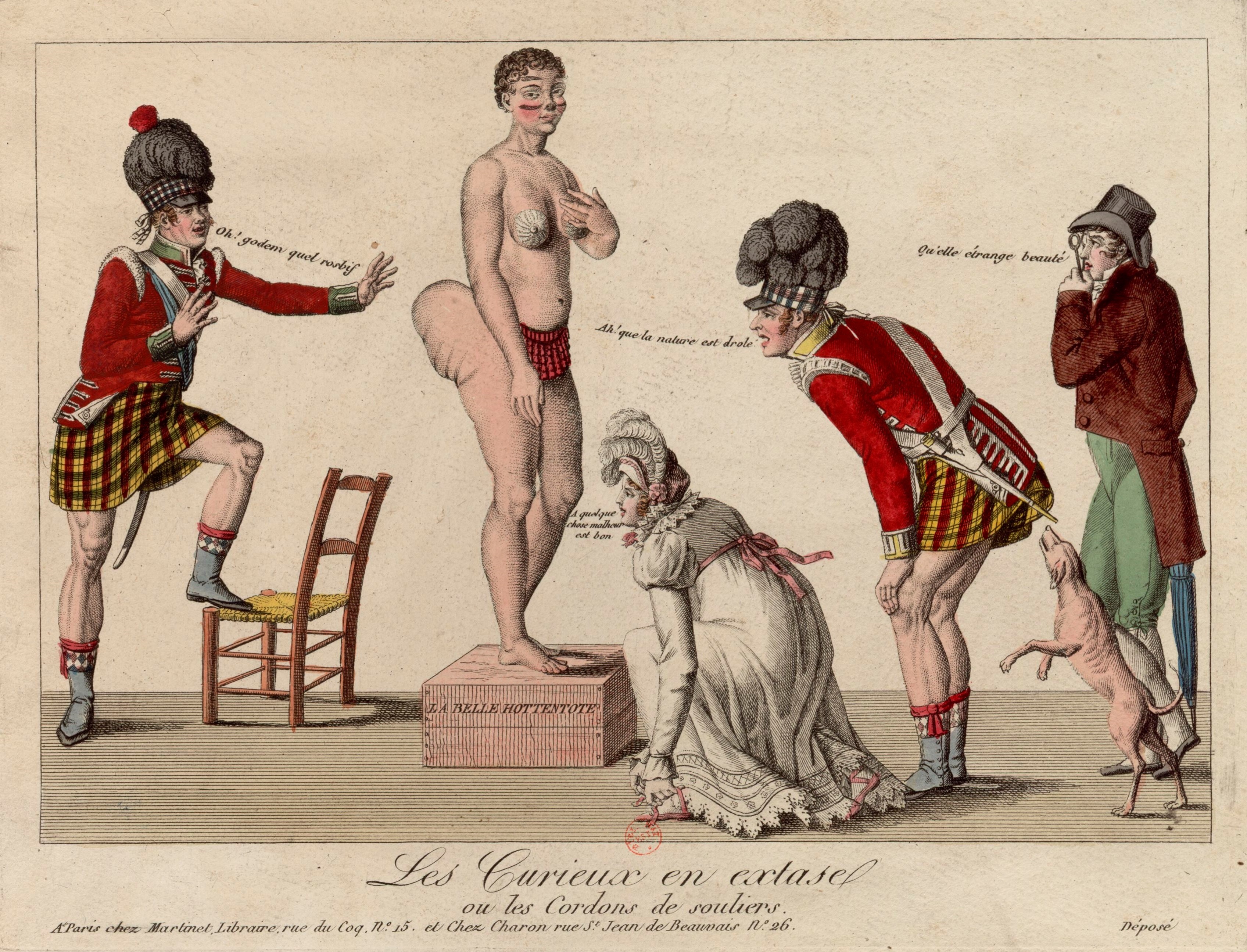
Sarah Baartman (; 1789– 29 December 1815), also spelt Sara, sometimes in the diminutive form Saartje (), or Saartjie, and Bartman, Bartmann, was a Khoikhoi woman who was exhibited as a freak show attraction in 19th-century Europe under the name Hottentot Venus, a name which was later attributed to at least one other woman similarly exhibited. The women were exhibited for their steatopygic body type uncommon in Western Europe which not only was perceived as a curiosity at that time, but became subject of scientific interest as well as of erotic projection. She is thought to have suffered from lipedema. "Venus" is sometimes used to designate representations of the female body in arts and cultural anthropology, referring to the Roman goddess of love and fertility. " Hottentot" was the colonial-era term for the indigenous Khoikhoi people of southwestern Africa, now usually considered an offensive term. The Sarah Baartman story is often regarded as the epitome of racist colo ... [...More Info...] [...Related Items...] OR: [Wikipedia] [Google] [Baidu] |
R331 (Eastern Cape)
The R331 is a Regional Route in South Africa that connects the R102 and N2 near Thornhill in the east with the R332 near Baviaanskloof Nature Reserve in the west via Hankey and Patensie Patensie is a town in Sarah Baartman District Municipality in the Eastern Cape province of South Africa South Africa, officially the Republic of South Africa (RSA), is the southernmost country in Africa. It is bounded to the south by .... Route From route's western origin at the R332 it heads east into Patensie. Leaving the town, it heads south-east, reaching Hankey, where it meets the R330's northern origin. It heads east-south-east out the town to intersect the N2 and then end immediately afterward at the R102. External links Routes Travel Info References Regional Routes in the Eastern Cape {{SouthAfrica-road-stub ... [...More Info...] [...Related Items...] OR: [Wikipedia] [Google] [Baidu] |
Avontuur Railway
The Avontuur Railway is a closed railway line between Port Elizabeth and the town of Avontuur in the Western and Eastern Cape provinces of South Africa. It is the longest narrow gauge route in the world at a length of . "Avontuur" is the Afrikaans and Dutch word for "adventure". History The railway was built by the government of the Cape Colony between 1890 and 1906, to connect the Langkloof fruit growing industry with the new port at Port Elizabeth. The section of line between Humewood Road and Humansdorp was opened for public traffic on 1 November 1905. In 1903 a request was laid before the then government in order to add a branch line to Patensie. This branch was commissioned on 3 April 1914. In 1906 a branch line was opened to the Port Elizabeth's suburb Walmer and in 1928 a twelve mile long private branch was constructed to the Eastern Province Cement Company (EPCC). Passenger traffic Scheduled trains Scheduled passenger trains were discontinued in the 1940s, al ... [...More Info...] [...Related Items...] OR: [Wikipedia] [Google] [Baidu] |
Gamtoos River
Gamtoos River or Gamptoos River is a river in the Eastern Cape Province, South Africa. It is formed by the confluence of the Kouga River and the Groot River and is approximately long with a catchment area of . Course The Gamtoos river system is formed by the Groot, the Kouga and the Baviaanskloof rivers. The latter is a tributary of the Kouga. Although the rainfall in the catchment area is low, it supports a commercial irrigated agriculture in the lower catchment in which oranges, tobacco, citrus fruit and vegetables are grown. There is an estuary where the Gamtoos river enters the Indian Ocean. It is located between Jeffreys Bay and Port Elizabeth and the Gamtoos River Mouth Nature Reserve is in the area. The towns of Hankey, the oldest town situated in the Gamtoos river valley, and Patensie are situated in the lower catchment. Further inland are the towns of Steytlerville, Joubertina, Uniondale, Willowmore and Murraysburg. Tributaries include the Loerie River, Klein River, ... [...More Info...] [...Related Items...] OR: [Wikipedia] [Google] [Baidu] |
Klein River (Eastern Cape)
Klein River is a river in the Western Cape province of South Africa. The river mouth is located at Hermanus. Its tributaries include the Karringmelk River. It falls within the Drainage system G. See also * List of rivers of South Africa * List of drainage basins of South Africa * Water Management Areas Water Management Areas (WMAs) are parts of South Africa that are managed by Catchment Management Agencies (CMAs). A CMA is established in terms of the National Water Act of 1998. (As of December 2020 only two CMAs have been established). The li ... Rivers of the Western Cape {{SouthAfrica-river-stub ... [...More Info...] [...Related Items...] OR: [Wikipedia] [Google] [Baidu] |
South African Heritage Resources Agency
The South African Heritage Resources Agency (SAHRA) is the national administrative body responsible for the protection of South Africa's cultural heritage. It was established through the ''National Heritage Resources Act, number 25 of 1999'' and together with provincial heritage resources authorities is one of the bodies that replaced the National Monuments Council. Heritage Listings in South Africa * List of heritage sites in South Africa * National heritage sites of South Africa * Provincial heritage site (South Africa) * Heritage objects (South Africa) Associated legislation * National Heritage Resources Act, Act 25 of 1999 See also * National Monuments Council (South Africa and Namibia) * National heritage sites (South Africa) * Heritage objects (South Africa) * List of heritage sites in South Africa * Provincial heritage resources authority * Amafa aKwaZulu-Natali * Heritage Western Cape * Northern Cape Heritage Resources Authority The Northern Cape Heritag ... [...More Info...] [...Related Items...] OR: [Wikipedia] [Google] [Baidu] |
London Missionary Society
The London Missionary Society was an interdenominational evangelical missionary society formed in England in 1795 at the instigation of Welsh Congregationalist minister Edward Williams. It was largely Reformed in outlook, with Congregational missions in Oceania, Africa, and the Americas, although there were also Presbyterians (notable for their work in China), Methodists, Baptists, and various other Protestants involved. It now forms part of the Council for World Mission. Origins In 1793, Edward Williams, then minister at Carr's Lane, Birmingham, wrote a letter to the churches of the Midlands, expressing the need for interdenominational world evangelization and foreign missions.Wadsworth KW, ''Yorkshire United Independent College -Two Hundred Years of Training for Christian Ministry by the Congregational Churches of Yorkshire'' Independent Press, London, 1954 It was effective and Williams began to play an active part in the plans for a missionary society. He left Birmingham ... [...More Info...] [...Related Items...] OR: [Wikipedia] [Google] [Baidu] |
Provincial Heritage Site (South Africa)
Provincial heritage sites in South Africa are places that are of historic or cultural importance within the context of the province concerned and which are for this reason declared in terms of Section 28 of the National Heritage Resources Act (NHRA) or legislation of the applicable province. The designation was a new one that came into effect with the introduction of the Act on 1 April 2000 when all former national monuments declared by the former National Monuments Council and its predecessors became provincial heritage sites as provided for in Section 58 of the Act. Both provincial and national heritage sites are protected under the terms of Section 27 of the NHRA or legislation of the relevant province and a permit is required to work on them. Provincial heritage sites are declared and administered by the relevant provincial heritage resources authority whilst national heritage sites are the responsibility of SAHRA. KwaZulu-Natal is the only province to have its own heritage ... [...More Info...] [...Related Items...] OR: [Wikipedia] [Google] [Baidu] |


