|
Han River (Taiwan)
The Han River ( zh, t=旱溪, p=Hànxī, lit. "dry creek") is a river located in Taichung, Taiwan. The river flows southwards from Gonglaoping in Fengyuan District until it joins the Dali River near Provincial Highway 74 in Dali District. Even though the river is wide, it's relatively low discharge means that the river runs dry for most of the year, hence the name. A bike path A bike path is a bikeway separated from motorized traffic and dedicated to cycling or shared with pedestrians or other non-motorized users. In the US a bike path sometimes encompasses ''shared use paths'', "multi-use path", or "Class III bikewa ... known as the "Han River Bike Trail" (旱溪自行車道) runs alongside the river between Fengyuan and Dali. References Rivers of Taiwan Landforms of Taichung {{Taiwan-river-stub ... [...More Info...] [...Related Items...] OR: [Wikipedia] [Google] [Baidu] |
Taiwan
Taiwan, officially the Republic of China (ROC), is a country in East Asia, at the junction of the East and South China Seas in the northwestern Pacific Ocean, with the People's Republic of China (PRC) to the northwest, Japan to the northeast, and the Philippines to the south. The territories controlled by the ROC consist of 168 islands, with a combined area of . The main island of Taiwan, also known as ''Formosa'', has an area of , with mountain ranges dominating the eastern two-thirds and plains in the western third, where its highly urbanised population is concentrated. The capital, Taipei, forms along with New Taipei City and Keelung the largest metropolitan area of Taiwan. Other major cities include Taoyuan, Taichung, Tainan, and Kaohsiung. With around 23.9 million inhabitants, Taiwan is among the most densely populated countries in the world. Taiwan has been settled for at least 25,000 years. Ancestors of Taiwanese indigenous peoples settled the island a ... [...More Info...] [...Related Items...] OR: [Wikipedia] [Google] [Baidu] |
Taichung
Taichung (, Wade–Giles: ''Tʻai²-chung¹'', pinyin: ''Táizhōng''), officially Taichung City, is a special municipality located in central Taiwan. Taichung has approximately 2.8 million residents and is the second most populous city of Taiwan, as well as the most populous city in Central Taiwan. It serves as the core of the Taichung–Changhua metropolitan area, the second largest metropolitan area in Taiwan. Located in the Taichung Basin, the city was initially developed from several scattered hamlets helmed by the Taiwanese indigenous peoples. It was constructed to be the new capital of Taiwan Province and renamed as " Taiwan-fu" in the late Qing dynastic era between 1887 and 1894. During the Japanese era from 1895, the urban planning of present-day city of Taichung was performed and developed by the Japanese. From the start of ROC rule in 1945, the urban area of Taichung was organized as a provincial city up until 25 December 2010, when the original provincial c ... [...More Info...] [...Related Items...] OR: [Wikipedia] [Google] [Baidu] |
Fengyuan District
Fengyuan District () is a district located in north-central Taichung, Taiwan on the south bank of the Dajia River. Fengyuan district is the third most populated district among former Taichung County, ranking after Dali and Taiping district. Fengyuan was recognized as Huludun in early times, meaning "gourd" in Chinese, for a gourd-shape pile of mud that was found in Fengyuan by the aborigines. The rice produced in Fengyuan is famous for its high quality and the bakery industry prospered in later decades. Because of its location of the intersection of Taiwan Railways Administration Western Trunk line and Dongshi branch line, Fengyuan quickly expanded after World War II. It soon became one of the regions with great economic and cultural development in central Taiwan. After the merger of Taichung City and Taichung County in 2010, population and economic growth slowed slightly. so recently, fengyuan faces the challenge of being marginalized . History Before the arrival of the ... [...More Info...] [...Related Items...] OR: [Wikipedia] [Google] [Baidu] |
Dali River
The Dali River ( zh, t=大里溪, p=Dàlǐxī) is a river located in Taichung, Taiwan, flowing from the west of the city in a southwest direction before emptying into the Dadu River. Since the river is prone to flooding after heavy rain, the course of the river has been significantly altered. Currently, the Dali River begins in Dakeng, Beitun District at the end of the Dakeng River, and merges into the Buzi River at Buzi, Beitun District. The Buzi River then turns back into the Dali River in Taiping District near Xinfeng Bridge, passing through Dali, Wufeng, and Wuri before emptying into the Dadu River at Taichung's border with Changhua. Construction history The Water Resources Agency first proposed a series of construction along the Dali River in the 1960s due to flood concerns, but the proposals saw local opposition and was never carried out. On July 2, 1984, Taichung was hit with a major flood along the Dali River, highlighting the need for preventive measures. Co ... [...More Info...] [...Related Items...] OR: [Wikipedia] [Google] [Baidu] |
Dali District
Dali District () is an inner city district in Taichung, Taiwan. Name The name "Dali" originates from ''Tai-li-khit'' (), where ''Tai-li'' refers to the Hoanya aborigines and ''khit'' refers to a bamboo raft's toon. History After the handover of Taiwan from Japan to the Republic of China in 1945, Dali was organized as a rural township of Taichung County. On 1 November 1993, Dali was upgraded to a county-administered city due to its population. On 25 December 2010, Taichung County was merged with Taichung City and Dali was upgraded to a district of the city. Administrative divisions Tunghu, Xihu, Dali, Xinli, Guoguang, Shuwang, Xiangxing, Neixin, Zhongxin, Tungsheng, Dayuan, Jiatian, Renhua, Rende, Jianmin, Tucheng, Tungxing, Daming, Yonglong, Rixin, Xirong, Zhangrong, Jincheng, Liren, Lide, Xinren and Ruicheng Village. Education Universities * Hsiuping University of Science and Technology The Hsiuping University of Science and Technology (HUST; ) is a private university ... [...More Info...] [...Related Items...] OR: [Wikipedia] [Google] [Baidu] |
Dadu River
The Dadu River (), known in Tibetan as the Gyelmo Ngul Chu, is a major river located primarily in Sichuan province, southwestern China. The Dadu flows from the eastern Tibetan Plateau into the Sichuan Basin where it joins with the Min River, a tributary of the Yangtze River. Measured from its geographic source, the Dadu is actually longer than the Min and thus forms the main stem of the Min River system. Shuangjiangkou Dam, expected to be the tallest dam in the world, is being built on the Dadu River. Geography Source The Dadu River originates, in name, in Danba and ends in Leshan where it meets the Min River. The true source of Dadu, and thus the entire Min River system, however, lies in Qinghai Province in the eastern Tibetan Plateau. In this region there are multiple headwaters of the Dadu with nearly identical lengths that have resulted in competing claims as the true source of the Dadu. In 2013, the China Academy of Sciences announced they had located the geographi ... [...More Info...] [...Related Items...] OR: [Wikipedia] [Google] [Baidu] |
Provincial Highway 74 (Taiwan)
Provincial Highway 74 (), also known as the Kuaiguan-Wufeng Expressway (快官烏日線) or Taichung Ring Expressway (台中環線), is an expressway around Taichung City. It starts at Kuaiguan Interchange on Freeway No. 3 in Changhua City and ends at Wufeng Interchange on Freeway No. 3 in Wufeng District. Length Main line The total length of main line is 37.841 km. The route between Kuaiguan Interchange and Zhongqing Rd. was opened to the public on May 5, 2002. During this time it was known as the Taichung-Changhua Expressway (中彰快速道路). Afterwards, the east section between Songzhu Rd. and Wufeng Interchange was opened to the public on December 31, 2011. The route between Zhongqing Rd. and Chongde Rd. was opened to traffic on December 31, 2013. Branch Line The branch line (Provincial Highway No. 74A, ) which starts at the western end of Provincial Highway No. 74 (Kuaiguan Interchange) and ends at Provincial Highway No. 1 in Huatan, Changhua. Its length is 10 ... [...More Info...] [...Related Items...] OR: [Wikipedia] [Google] [Baidu] |
Water Resources Agency
The Water Resources Agency (WRA; ) is the administrative agency of the Ministry of Economic Affairs of the Taiwan (ROC) responsible for water-related affairs. History The creation of Water Resources Agency dated back in 1946 under the Ministry of Water Conservancy of the central government of the Republic of China Taiwan, officially the Republic of China (ROC), is a country in East Asia, at the junction of the East and South China Seas in the northwestern Pacific Ocean, with the People's Republic of China (PRC) to the northwest, Japan to the northea .... The ministry was then downgraded and merged into the Water Conservancy Agency of the Ministry of Economic Affairs in 1948. Within the agency, the Water Conservancy Department was created in 1949. The agency was then reorganized as the Water Resources Bureau of the ministry in 1996. Meanwhile, the Taiwan Provincial Government had Provincial Water Agencies. In 1947, it underwent reorganization to become Water Conserva ... [...More Info...] [...Related Items...] OR: [Wikipedia] [Google] [Baidu] |
Discharge (hydrology)
In hydrology, discharge is the volumetric flow rate of water that is transported through a given cross-sectional area. It includes any suspended solids (e.g. sediment), dissolved chemicals (e.g. CaCO3(aq)), or biologic material (e.g. diatoms) in addition to the water itself. Terms may vary between disciplines. For example, a fluvial hydrologist studying natural river systems may define discharge as streamflow, whereas an engineer operating a reservoir system may equate it with outflow, contrasted with inflow. Theory and calculation A discharge is a measure of the quantity of any fluid flow over unit time. The quantity may be either volume or mass. Thus the water discharge of a tap (faucet) can be measured with a measuring jug and a stopwatch. Here the discharge might be 1 litre per 15 seconds, equivalent to 67 ml/second or 4 litres/minute. This is an average measure. For measuring the discharge of a river we need a different method and the most common is the 'area-velocity' method. ... [...More Info...] [...Related Items...] OR: [Wikipedia] [Google] [Baidu] |
East District, Taichung
East District () is an urban district in Taichung, Taiwan. It was a part of Taichung City before the City and County were merged in 2010. History The district used to be part of the Taichung provincial city before the merger with Taichung County to form the Taichung special municipality on 25 December 2010. Administrative divisions East District is divided into 17 villages, which are: Xinzhuang, Zhenxing, Tungqiao, Tungxing, Quanyuan, Gancheng, Hanxi, Lecheng, Tungmen, Shijia, Tungying, Tungnan, Tungshi, Gezuo, Furen, Futai and Tungxin. Tourist attractions * Hanxi Night Market * Dongguang Green Tunnel (東光錄園道) * Lecheng Temple * Lin Family Ancestral Shrine * Zhang Liao Family Temple Zhang Liao Family Temple ( zh, t=張廖家廟, p=Zhāngliào Jiāmiào) is an ancestral shrine located in East District, Taichung City, Taiwan. Built in 1904, the shrine is protected as a city monument. History The Zhang Liao family origina ... Transportation The district is ... [...More Info...] [...Related Items...] OR: [Wikipedia] [Google] [Baidu] |
Bike Path
A bike path is a bikeway separated from motorized traffic and dedicated to cycling or shared with pedestrians or other non-motorized users. In the US a bike path sometimes encompasses ''shared use paths'', "multi-use path", or "Class III bikeway" is a paved path that has been designated for use by cyclists outside the right of way of a public road. It may or may not have a center divider or stripe to prevent head-on collisions. In the UK, a ''shared-use footway'' or ''multi-use path'' is for use by both cyclists and pedestrians. Bike paths with independent rights-of-way Bike paths that follow independent rights-of-way are often used to promote recreational cycling. In Northern European countries, cycling tourism represents a significant proportion of overall tourist activity. Extensive interurban bike path networks can be found in countries such as Denmark or the Netherlands, which has had a national system of cycle routes since 1993. These networks may use routes dedicated exc ... [...More Info...] [...Related Items...] OR: [Wikipedia] [Google] [Baidu] |
Taichung City Government
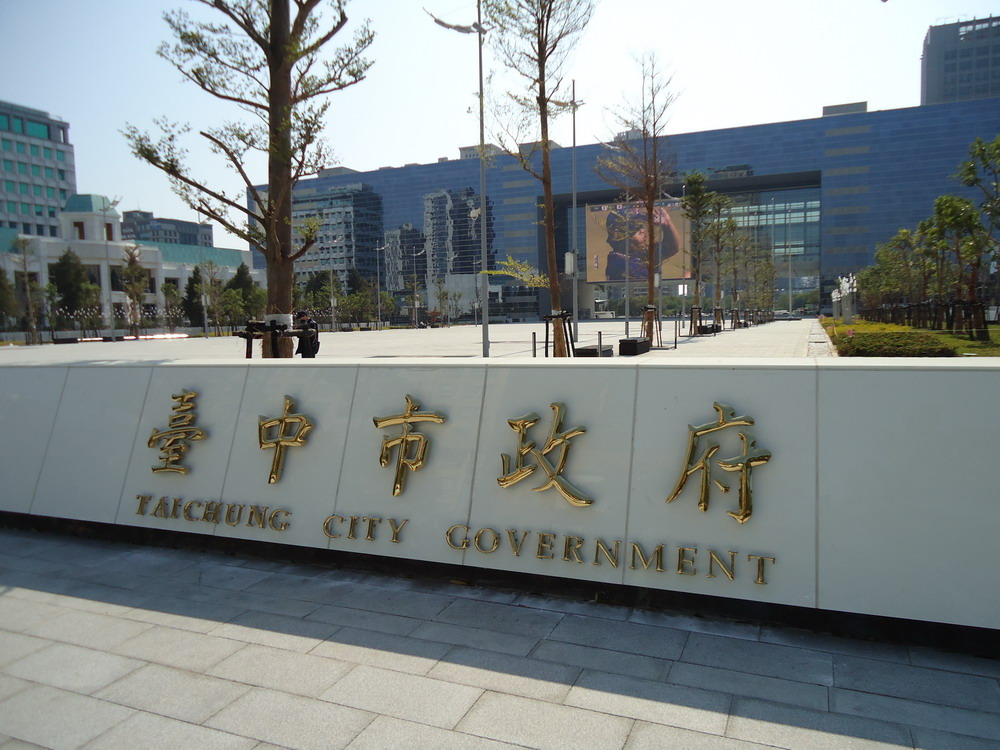
The Taichung City Government () is the municipal government of Taichung, Taiwan. History Taichū City Government was established by the Governor-General of Taiwan and the Japanese colonial authorities on 1 October 1920. Following the handover of Taiwan from Japan to the Republic of China, Taichung had been reconstituted as a provincial city government on 25 October 1945. Taichung City A city is a human settlement of notable size.Goodall, B. (1987) ''The Penguin Dictionary of Human Geography''. London: Penguin.Kuper, A. and Kuper, J., eds (1996) ''The Social Science Encyclopedia''. 2nd edition. London: Routledge. It can be de ... merged with Taichung County to become a special municipality on 25 December 2010. Building The first Taichung city hall, known as Taichung Shiyakusho, was constructed in 1911, when Taiwan was under Japanese rule. It has been turned into a cultural center since 2016. The current Taichung City Hall was completed and opened on 10 October 201 ... [...More Info...] [...Related Items...] OR: [Wikipedia] [Google] [Baidu] |


