|
Hagia Triada
Hagia Triada (also Haghia Triada, Hagia Triadha, Ayia Triada, Agia Triada), () is a Minoan archaeological site in Crete. The site includes the remains of an extensive settlement noted for its monumental NeoPalatial and PostPalatial period buildings especially the large ''Royal Villa''. It is located in the Mesara Plain about three kilometers from the larger Palace of Phaistos, with which it appears to have had close political and economic ties. It is also nearby the Minoan harbor site of Kommos. Excavations at Hagia Triada have provided crucial evidence concerning Minoan everyday life. Notable finds include the Hagia Triada sarcophagus and the " Harvester Vase". About 150 Linear A tablets were found, the largest cache at any Minoan site. Salgarella, Ester, "Drawing lines: The palaeography of Linear A and Linear B", Kadmos, vol. 58, ... [...More Info...] [...Related Items...] OR: [Wikipedia] [Google] [Baidu] |
Map Minoan Crete-en
A map is a symbolic depiction of interrelationships, commonly spatial, between things within a space. A map may be annotated with text and graphics. Like any graphic, a map may be fixed to paper or other durable media, or may be displayed on a transitory medium such as a computer screen. Some maps change interactively. Although maps are commonly used to depict geography, geographic elements, they may represent any space, real or fictional. The subject being mapped may be two-dimensional such as Earth's surface, three-dimensional such as Earth's interior, or from an abstract space of any dimension. Maps of geographic territory have a very long tradition and have existed from ancient times. The word "map" comes from the , wherein ''mappa'' meant 'napkin' or 'cloth' and ''mundi'' 'of the world'. Thus, "map" became a shortened term referring to a flat representation of Earth's surface. History Maps have been one of the most important human inventions for millennia, allowin ... [...More Info...] [...Related Items...] OR: [Wikipedia] [Google] [Baidu] |
Linear B
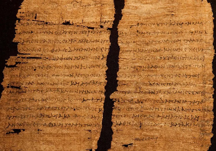
Linear B is a syllabary, syllabic script that was used for writing in Mycenaean Greek, the earliest Attested language, attested form of the Greek language. The script predates the Greek alphabet by several centuries, the earliest known examples dating to around 1450 BC. It is adapted from the earlier Linear A, an undeciphered script perhaps used for writing the Minoan language, as is the later Cypriot syllabary, which also recorded Greek. Linear B, found mainly in the Minoan palace, palace archives at Knossos, Kydonia, Pylos, Thebes, Greece, Thebes and Mycenae, disappeared with the fall of Mycenaean Greece, Mycenaean civilization during the Late Bronze Age collapse. The succeeding period, known as the Greek Dark Ages, provides no evidence of the use of writing. Linear B was deciphered in 1952 by English architect and self-taught linguist Michael Ventris based on the research of American classicist Alice Kober. It is the only Bronze Age Aegean script to have been deciphered, w ... [...More Info...] [...Related Items...] OR: [Wikipedia] [Google] [Baidu] |
Pithos
Pithos (, , plural: ' ) is the Greek name of a large storage container. The term in English is applied to such containers used among the civilizations that bordered the Mediterranean Sea in the Neolithic, the Bronze Age and the succeeding Iron Age. Pithoi were used for bulk storage, primarily for fluids and grains; they were comparable to the drums, barrels and casks of recent times. The name was different in other languages; for instance, the Hittites used ''harsi-''. Secondarily, discarded pithoi found other uses. Like the ceramic bathtubs of some periods, the size of a pithos made it a convenient coffin. In Middle Helladic burials in Mycenae and Crete, sometimes the bones of the interred were placed in pithoi. The ancient Iberian culture of El Argar used pithoi for coffins in its B phase (1500–1300 BC). The external shape and materials were approximately the same: a ceramic jar about as high as a man, a base for standing, sides nearly straight or generously curved, and ... [...More Info...] [...Related Items...] OR: [Wikipedia] [Google] [Baidu] |
Minoan Palaces
Minoan palaces were massive building complexes built on Crete during the Bronze Age. They are often considered emblematic of the Minoan civilization and are modern tourist destinations. Archaeologists generally recognize five structures as palaces, namely those at Knossos, Phaistos, Malia (archaeological site), Malia, Galatas Palace, Galatas, and Zakros. Minoan palaces consisted of multistory wings surrounding an open rectangular central court. They shared a common architectural vocabulary and organization, including distinctive room types such as the lustral basin and the pillar crypt. However, each palace was unique, and their appearances changed dramatically as they were continually remodeled throughout their lifespans. The palaces' function is a topic of continuing debate in Minoan archaeology. Despite the modern term "palace", it is generally agreed that they did not primarily serve as royal residences. They are known to have contained shrines, open areas for communal festiv ... [...More Info...] [...Related Items...] OR: [Wikipedia] [Google] [Baidu] |
Phaistos
Phaistos (, ; Ancient Greek: , , Linear B: ''Pa-i-to''; Linear A: ''Pa-i-to''), also Transliteration, transliterated as Phaestos, Festos and Latin Phaestus, is a Bronze Age archaeological site at modern Faistos, a municipality in south central Crete. It is notable for the remains of a Minoan palace and the surrounding town. Ancient Phaistos was located about east of the Mediterranean Sea and south of Heraklion. Phaistos was one of the largest cities of Minoan Crete. The name Phaistos survives from Ancient Greece, ancient Greek references to a city on Crete of that name at or near the current ruins. History Bronze Age Phaistos was first inhabited around 3600 BCE, slightly later than other early sites such as Knossos. During the Early Minoan period, the site's hills were Terrace (building), terraced and monumental buildings were constructed on them. Like other large Minoan cities, there was a palace that was built in an area that had been used earlier for communal feastin ... [...More Info...] [...Related Items...] OR: [Wikipedia] [Google] [Baidu] |
Agia Triada 78
Agia, ayia, aghia, hagia, haghia or AGIA may refer to: *''Agia'', feminine form of ''Agios'', 'saint' Geography Cyprus *Agia, Cyprus *Ayia Napa Greece * Agia, Chania, a town in Chania (regional unit), Crete, Greece *Agia, Larissa, Greece *Agia (Meteora), a rock in Thessaly, Greece *Agia, Preveza, a town in the municipality of Parga, Preveza regional unit, Greece Other uses *Saint Agia (died c. 711), Belgian Catholic saint also known as Aye *Alaska Gasline Inducement Act In 2006, Sarah Palin was elected governor of Alaska. Running on a clean-government platform, Palin defeated incumbent Governor Frank Murkowski in the Republican gubernatorial primary election in August. She then went on to win the general elec ..., Alaskan State law * ''Agia'' (moth), a synonym of the moth genus ''Acasis'' See also * * * * {{disambig, geo ... [...More Info...] [...Related Items...] OR: [Wikipedia] [Google] [Baidu] |
Republic Of Venice
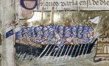
The Republic of Venice, officially the Most Serene Republic of Venice and traditionally known as La Serenissima, was a sovereign state and Maritime republics, maritime republic with its capital in Venice. Founded, according to tradition, in 697 by Paolo Lucio Anafesto, over the course of its History of the Republic of Venice, 1,100 years of history it established itself as one of the major European commercial and naval powers. Initially extended in the ''Dogado'' area (a territory currently comparable to the Metropolitan City of Venice), during its history it annexed a large part of Northeast Italy, Istria, Dalmatia, the coasts of present-day Montenegro and Albania as well as numerous islands in the Adriatic Sea, Adriatic and eastern Ionian Sea, Ionian seas. At the height of its expansion, between the 13th and 16th centuries, it also governed Crete, Cyprus, the Peloponnese, a number of List of islands of Greece, Greek islands, as well as several cities and ports in the eastern Me ... [...More Info...] [...Related Items...] OR: [Wikipedia] [Google] [Baidu] |
Roman Republic
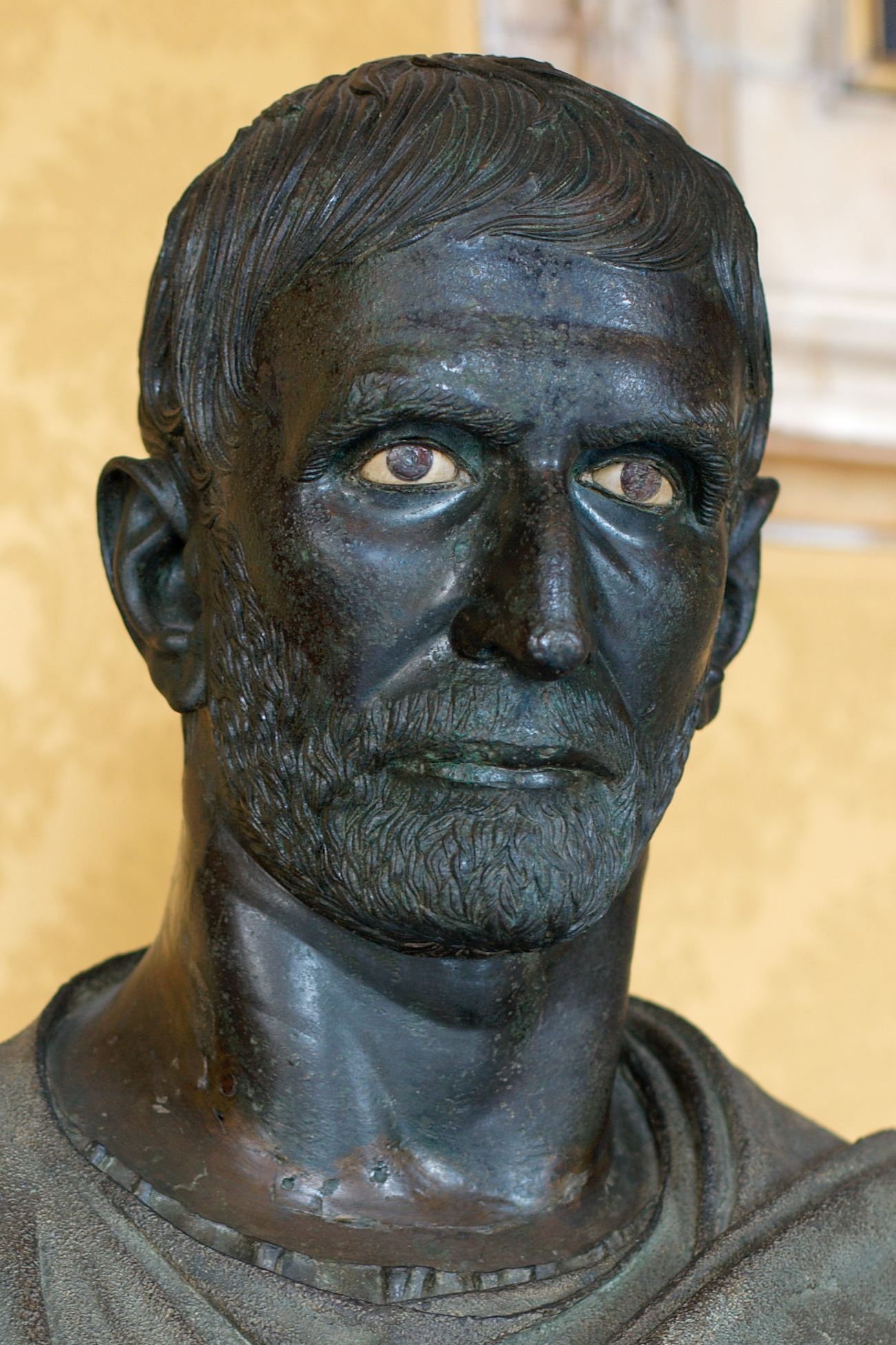
The Roman Republic ( ) was the era of Ancient Rome, classical Roman civilisation beginning with Overthrow of the Roman monarchy, the overthrow of the Roman Kingdom (traditionally dated to 509 BC) and ending in 27 BC with the establishment of the Roman Empire following the War of Actium. During this period, Rome's control expanded from the city's immediate surroundings to hegemony over the entire Mediterranean Sea, Mediterranean world. Roman society at the time was primarily a cultural mix of Latins (Italic tribe), Latin and Etruscan civilization, Etruscan societies, as well as of Sabine, Oscan, and Greek cultural elements, which is especially visible in the Ancient Roman religion and List of Roman deities, its pantheon. Its political organisation developed at around the same time as direct democracy in Ancient Greece, with collective and annual magistracies, overseen by Roman Senate, a senate. There were annual elections, but the republican system was an elective olig ... [...More Info...] [...Related Items...] OR: [Wikipedia] [Google] [Baidu] |
Gortyn
Gortyn, Gortys or Gortyna (, , or , ) is a municipality, and an archaeological site, on the Mediterranean island of Crete away from the island's capital, Heraklion. The seat of the municipality is the village Agioi Deka. Gortyn was the Roman capital of Creta et Cyrenaica. The area was first inhabited around 7000 BC. It is located in the valley of Messara in the south of the Psiloritis mountain, in the current position of the settlements of Metropolis and Agioi Deka, and near the Libyan Sea. Municipality The municipality Gortyna was formed as part of Greece's 2011 local government reform by merging the following four former municipalities, each of which became municipal units: * Agia Varvara *Gortyna * Kofinas * Rouvas The municipality has an area of , the municipal unit . Geography Climate History There is evidence of human occupation in Gortyn as far back as the Neolithic era (7000 BC). Many artifacts have been found from the Minoan period (2600–1100 BC) as w ... [...More Info...] [...Related Items...] OR: [Wikipedia] [Google] [Baidu] |
Hellenistic
In classical antiquity, the Hellenistic period covers the time in Greek history after Classical Greece, between the death of Alexander the Great in 323 BC and the death of Cleopatra VII in 30 BC, which was followed by the ascendancy of the Roman Empire, as signified by the Battle of Actium in 31 BC and the Roman conquest of Ptolemaic Egypt the following year, which eliminated the last major Hellenistic kingdom. Its name stems from the Ancient Greek word ''Hellas'' (, ''Hellás''), which was gradually recognized as the name for Greece, from which the modern historiographical term ''Hellenistic'' was derived. The term "Hellenistic" is to be distinguished from "Hellenic" in that the latter refers to Greece itself, while the former encompasses all the ancient territories of the period that had come under significant Greek influence, particularly the Hellenized Middle East, after the conquests of Alexander the Great. After the Macedonian conquest of the Achaemenid Empire in ... [...More Info...] [...Related Items...] OR: [Wikipedia] [Google] [Baidu] |
Protogeometric Style
The Protogeometric style (or Proto-Geometric) is a style of Ancient Greek pottery led by Athens and produced, in Attica and Central Greece, between roughly 1025 and 900 BCE,Van Damme, Trevor, and Lis Bartłomiej, (29 October 2024)"The origin of the Protogeometric style in northern Greece and its relevance for the absolute chronology of the Early Iron Age" in: Antiquity, 2024, Vol. 98, No. 401, pp. 1271-1289, Table 1: "Early Protogeometric in Central Greece and Attica, 1025 cal BC." during the Greek Dark Ages. It was succeeded by the Early Geometric period. Earlier studies considered the beginning of this style around 1050 BCE. History After the collapse of the Mycenaean- Minoan Palace culture and the ensuing Greek Dark Ages, the Protogeometric style emerged around the late 11th century BCE, as the first expression of a reviving civilization. Following on from the development of a faster potter's wheel, vases of this period are markedly more technically accomplished than ear ... [...More Info...] [...Related Items...] OR: [Wikipedia] [Google] [Baidu] |
Mycenaean Greece
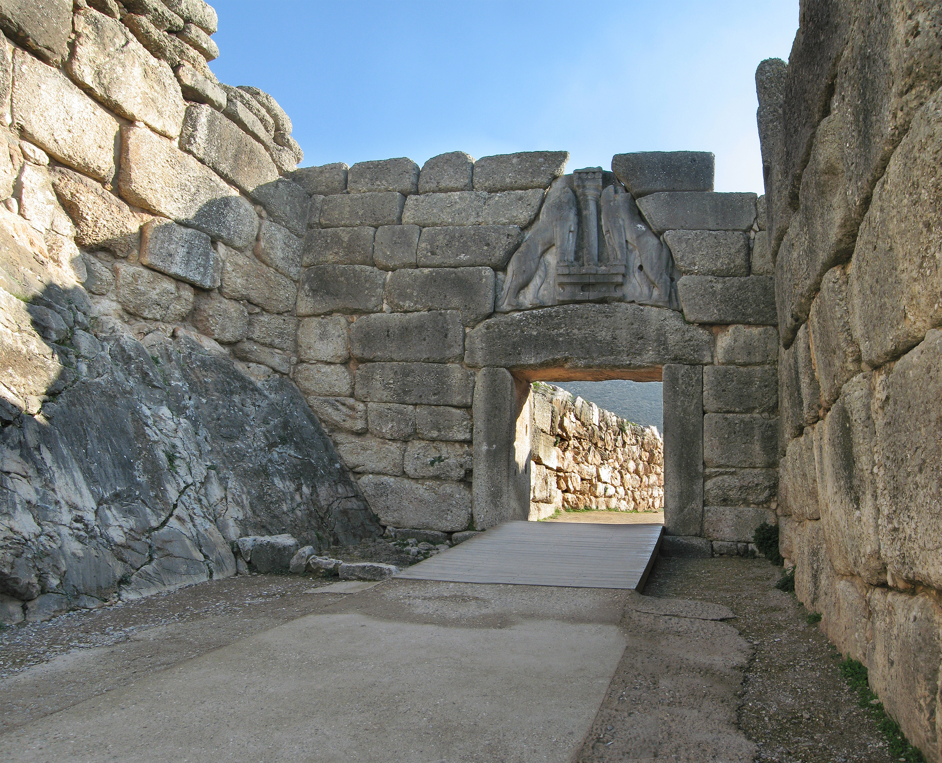
Mycenaean Greece (or the Mycenaean civilization) was the last phase of the Bronze Age in ancient Greece, spanning the period from approximately 1750 to 1050 BC.. It represents the first advanced and distinctively Greek civilization in mainland Greece with its palatial states, urban organization, works of art, and writing system.. The Mycenaeans were mainland Greek peoples who were likely stimulated by their contact with insular Minoan Crete and other Mediterranean cultures to develop a more sophisticated sociopolitical culture of their own. The most prominent site was Mycenae, after which the culture of this era is named. Other centers of power that emerged included Pylos, Tiryns, and Midea in the Peloponnese, Orchomenos, Thebes, and Athens in Central Greece, and Iolcos in Thessaly. Mycenaean settlements also appeared in Epirus, Macedonia, on islands in the Aegean Sea, on the south-west coast of Asia Minor, and on Cyprus, while Mycenaean-influenced settlements appear ... [...More Info...] [...Related Items...] OR: [Wikipedia] [Google] [Baidu] |


