|
Guoliang Tunnel
The Guoliang Tunnel () is carved along the side of and through a mountain in People's Republic of China, China. The tunnel links the village of Guoliang Village, Guoliang to the outside through the Taihang Mountains which are situated in Huixian, Xinxiang, Henan Province of China.:zh:郭亮村 (Guoliang village article at Chinese Wikipedia, zh.wiki) History The village was named after a fugitive rebel during the Han dynasty, who had fought an overwhelming imperial force to a standstill utilizing the extreme local terrain. Before the tunnel was constructed, access to the nearby village of Guoliang Village was restricted to a difficult path carved into the mountainside. The village is nestled in a valley surrounded by towering mountains cut off from outside civilization. To ease the villagers' access to outside world, a group of villagers led by Shen Mingxin made plans in 1972 to carve a road into the side of the mountain. They sold their livestock to raise funds to buy tools and ... [...More Info...] [...Related Items...] OR: [Wikipedia] [Google] [Baidu] |
Huixian
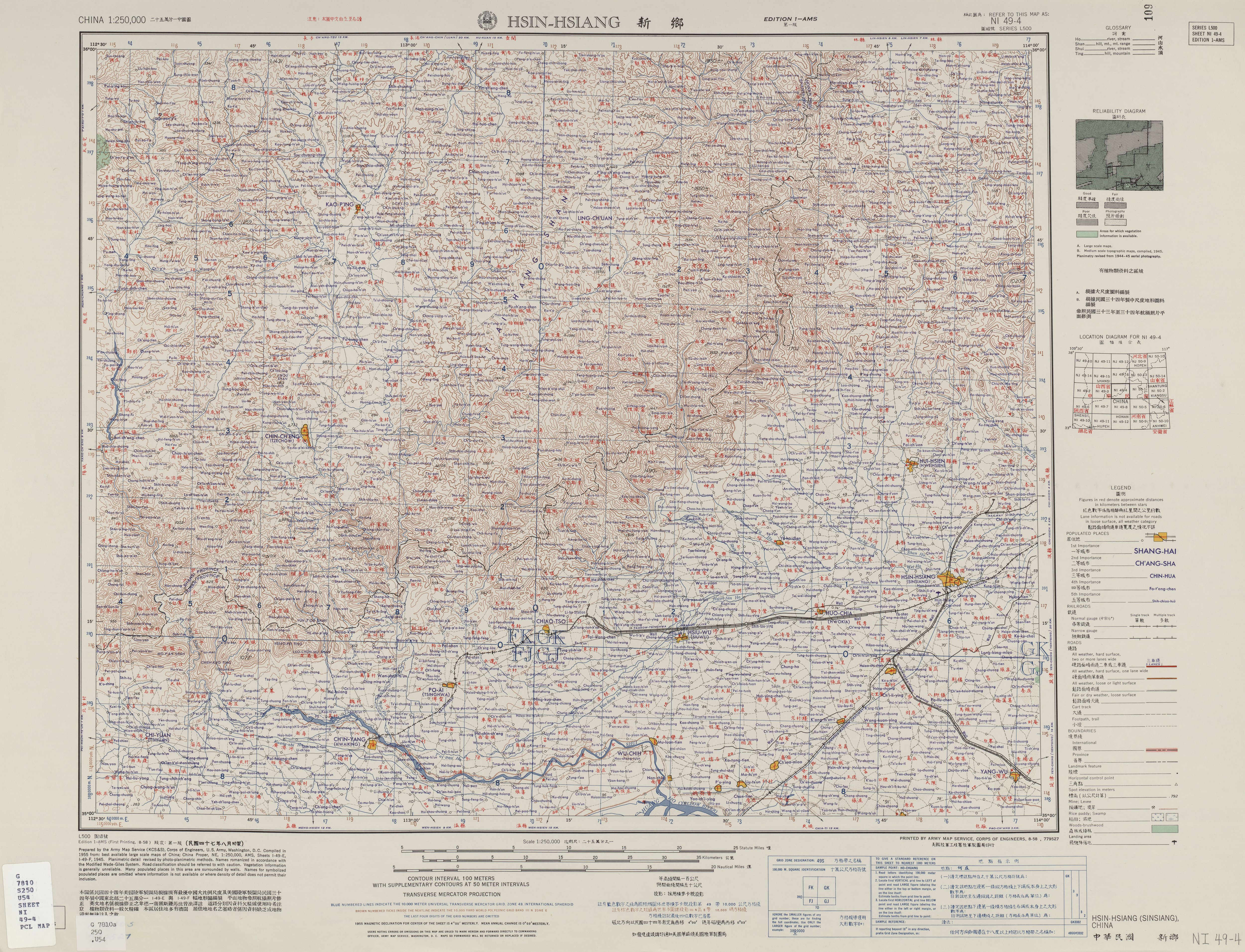
Huixian () is a county-level city under the administration of the prefecture-level city of Xinxiang, in the northwest of Henan province, China, bordering Shanxi Shanxi; Chinese postal romanization, formerly romanised as Shansi is a Provinces of China, province in North China. Its capital and largest city of the province is Taiyuan, while its next most populated prefecture-level cities are Changzhi a ... province to the northwest. Administrative divisions , this city is divided to 2 subdistricts, 11 towns and 9 townships. ;Subdistricts * Chengguan Subdistrict () * Huqiao Subdistrict () ;Towns ;Townships Climate References Cities in Henan County-level divisions of Henan Xinxiang {{Henan-geo-stub ... [...More Info...] [...Related Items...] OR: [Wikipedia] [Google] [Baidu] |
Xinxiang
Xinxiang ( zh, s= , t= , p=Xīnxiāng ; Postal romanization, postal: Sinsiang) is a prefecture-level city in northern Henan provinces of China, province, China. It borders the provincial capital of Zhengzhou to its southwest, Kaifeng to its southeast, Hebi and Anyang to its north, Jiaozuo to its west, and the provinces of Shanxi and Shandong to its northwest and east respectively. Its total population was 6,251,929 as of the 2020 Chinese census, 2020 Chinese Census. As of the 2018 estimation, 2,743,200 lived in the built-up (or metro) area made of 4 urban districts (''Weibin District, Xinxiang, Weibin, Hongqi District, Hongqi, Muye, Fengquan District, Fenquan''), Yanjin County, Henan, Yanjin county, Xinxiang county and Huixian, Huixian City which are now being Conurbation, conurbated as the city is expanding very quickly. Xinxiang is an industrial city in northern Henan, an important city on the Beijing–Guangzhou railway, Beijing-Guangzhou Railway and a city in the Central Pl ... [...More Info...] [...Related Items...] OR: [Wikipedia] [Google] [Baidu] |
Henan Province
Henan; alternatively Honan is a province in Central China. Henan is home to many heritage sites, including Yinxu, the ruins of the final capital of the Shang dynasty () and the Shaolin Temple. Four of the historical capitals of China, Luoyang, Anyang, Kaifeng and Zhengzhou, are in Henan. While the province's name means 'south of the river', approximately a quarter of the province lies north of the Yellow River. With an area of , Henan covers a large part of the fertile and densely populated North China Plain. Its neighboring provinces are Shaanxi, Shanxi, Hebei, Shandong, Anhui, and Hubei. Henan is China's third-most populous province and the most populous among inland provinces, with a population of over 99 million as of 2020. It is also the world's seventh-most populous administrative division; if it were a country by itself, Henan would be the 17th-most populous in the world, behind Egypt and Vietnam. People from Henan often suffer from regional discrimination. ... [...More Info...] [...Related Items...] OR: [Wikipedia] [Google] [Baidu] |
Mountain
A mountain is an elevated portion of the Earth's crust, generally with steep sides that show significant exposed bedrock. Although definitions vary, a mountain may differ from a plateau in having a limited summit area, and is usually higher than a hill, typically rising at least above the surrounding land. A few mountains are inselberg, isolated summits, but most occur in mountain ranges. mountain formation, Mountains are formed through tectonic plate, tectonic forces, erosion, or volcanism, which act on time scales of up to tens of millions of years. Once mountain building ceases, mountains are slowly leveled through the action of weathering, through Slump (geology), slumping and other forms of mass wasting, as well as through erosion by rivers and glaciers. High elevations on mountains produce Alpine climate, colder climates than at sea level at similar latitude. These colder climates strongly affect the Montane ecosystems, ecosystems of mountains: different elevations hav ... [...More Info...] [...Related Items...] OR: [Wikipedia] [Google] [Baidu] |
People's Republic Of China
China, officially the People's Republic of China (PRC), is a country in East Asia. With population of China, a population exceeding 1.4 billion, it is the list of countries by population (United Nations), second-most populous country after India, representing 17.4% of the world population. China spans the equivalent of five time zones and Borders of China, borders fourteen countries by land across an area of nearly , making it the list of countries and dependencies by area, third-largest country by land area. The country is divided into 33 Province-level divisions of China, province-level divisions: 22 provinces of China, provinces, 5 autonomous regions of China, autonomous regions, 4 direct-administered municipalities of China, municipalities, and 2 semi-autonomous special administrative regions. Beijing is the country's capital, while Shanghai is List of cities in China by population, its most populous city by urban area and largest financial center. Considered one of six ... [...More Info...] [...Related Items...] OR: [Wikipedia] [Google] [Baidu] |
Guoliang Village
Guoliang () is a village of Tongguan Subdistrict in Wangcheng District Wangcheng District () is one of six urban districts of the prefecture-level city of Changsha, the capital of Hunan Province, China. It is the largest district of Changsha by area. The district is bordered to the north by Miluo City and Xiangyin ..., Changsha City, Hunan Province, China. The village has an area of with rough population of 3,899 in 2016 and it was divided into 37 villagers' groups. The village is named after the worker's movement leader Guo Liang. References Villages in China Wangcheng District {{Hunan-geo-stub ... [...More Info...] [...Related Items...] OR: [Wikipedia] [Google] [Baidu] |
Taihang Mountains
The Taihang Mountains () are a Chinese mountain range running down the eastern edge of the Loess Plateau in Shanxi, Henan and Hebei provinces. The range extends over from north to south and has an average elevation of ; its principal peak is Mount Xiaowutai. The Taihang's eastern peak is Mount Cangyan in Hebei; Baishi Mountain forms its northern tip. Event * 185 The rebels of the Yellow Turban are defeated by the imperial army, but only two months later, the rebellion breaks out again. It spreads to the Taihang Mountains on the western border of Hebei Province. Background The Taihang Mountains were formed during the Jurassic. Brown forest and Cinnamon soils are found here. The name of Shanxi Province, meaning "west of the mountains", derives from its location west of the Taihang Mountains. The name of Shandong Province (east of the mountains) originally applied to the area east of the Xiao Mountains, but by the Tang dynasty it refers to the area east of the Ta ... [...More Info...] [...Related Items...] OR: [Wikipedia] [Google] [Baidu] |
Chinese Wikipedia
The Chinese Wikipedia () is the written vernacular Chinese edition of Wikipedia. It was created on 11 May 2001. It is one of multiple projects supported by the Wikimedia Foundation. The Chinese Wikipedia currently has articles, registered users, and active editors, of whom have administrative privileges. The Chinese Wikipedia has been blocked in mainland China since May 2015. Nonetheless, the Chinese Wikipedia is still one of the top ten most active versions of Wikipedia by number of edits and number of editors, due to contributions from users from Taiwan, Hong Kong, Macau, Singapore, Malaysia, and the Chinese diaspora. Readers from Taiwan and Hong Kong contribute most of the page views of the Chinese Wikipedia. Despite being Censorship_of_Wikipedia#China, censored in mainland China, and as VPNs are normally not allowed to edit Wikipedia, Wikipedia administrators from China have permitted m:IP block exempt, IP block exemption for a select number of mainland users. Such ... [...More Info...] [...Related Items...] OR: [Wikipedia] [Google] [Baidu] |
Interior Of Guoliang Tunnel In Henan
Interior may refer to: Arts and media * ''Interior'' (Degas) (also known as ''The Rape''), painting by Edgar Degas * ''Interior'' (play), 1895 play by Belgian playwright Maurice Maeterlinck * ''The Interior'' (novel), by Lisa See * Interior design, the trade of designing an architectural interior * ''The Interior'' (Presbyterian periodical), an American Presbyterian periodical * Interior architecture, process of designing building interiors or renovating existing home interiors Places * Interior, South Dakota * Interior, Washington * Interior Township, Michigan * British Columbia Interior, commonly known as "The Interior" Government agencies * Interior ministry, sometimes called the ministry of home affairs * United States Department of the Interior Other uses * Interior (topology), mathematical concept that includes, for example, the inside of a shape * Interior FC, a football team in Gambia See also * * * List of geographic interiors * Interiors (other) * ... [...More Info...] [...Related Items...] OR: [Wikipedia] [Google] [Baidu] |
Han Dynasty
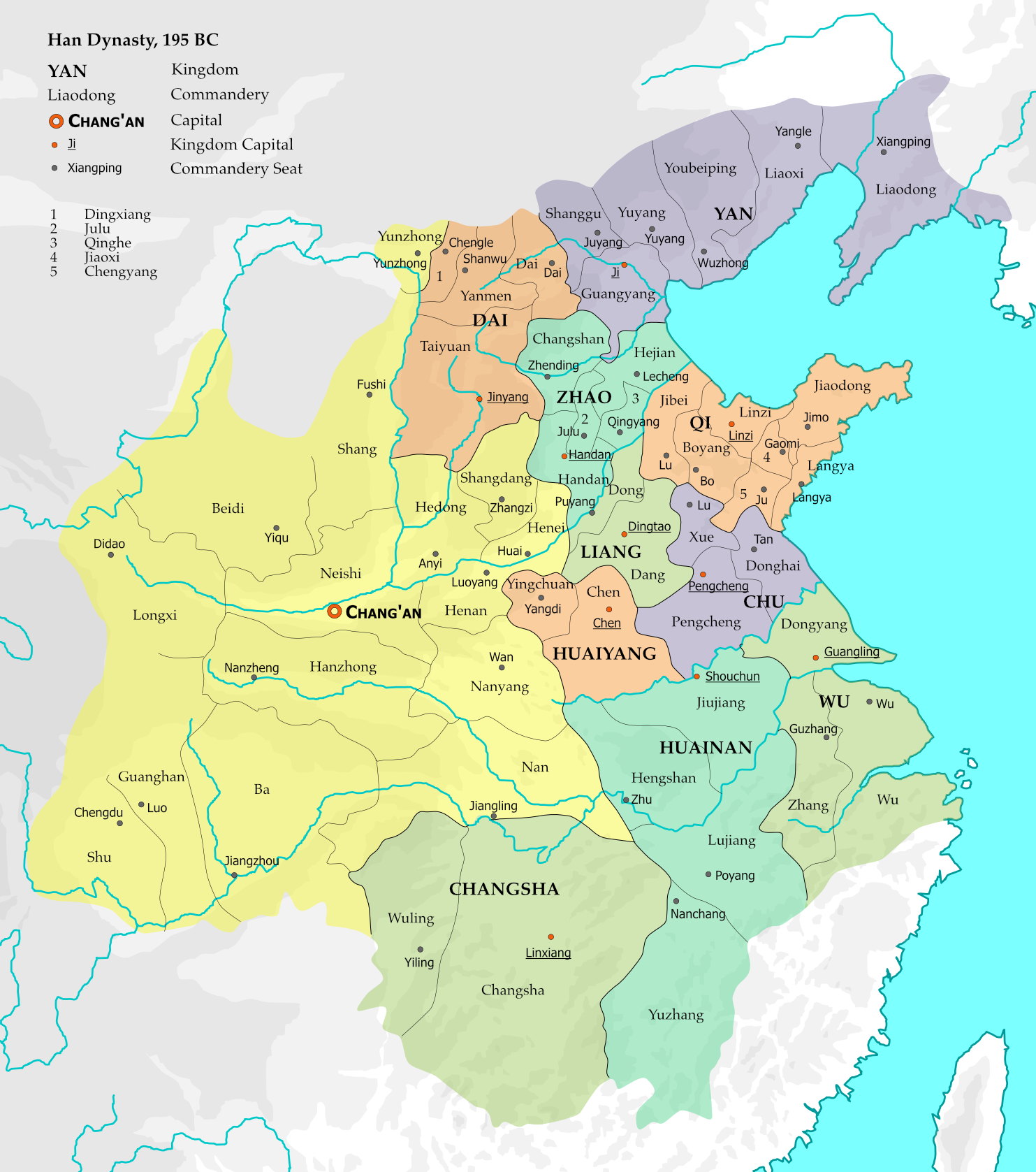
The Han dynasty was an Dynasties of China, imperial dynasty of China (202 BC9 AD, 25–220 AD) established by Liu Bang and ruled by the House of Liu. The dynasty was preceded by the short-lived Qin dynasty (221–206 BC) and a warring interregnum known as the Chu–Han Contention (206–202 BC), and it was succeeded by the Three Kingdoms period (220–280 AD). The dynasty was briefly interrupted by the Xin dynasty (9–23 AD) established by the usurping regent Wang Mang, and is thus separated into two periods—the #Western Han (202 BC – 9 AD), Western Han (202 BC9 AD) and the #Eastern Han (25–220 AD), Eastern Han (25–220 AD). Spanning over four centuries, the Han dynasty is considered a Golden ages of China, golden age in Chinese history, and had a permanent impact on Chinese identity in later periods. The majority ethnic group of modern China refer to themselves as the "Han people" or "Han Chinese". The spoken Chinese ... [...More Info...] [...Related Items...] OR: [Wikipedia] [Google] [Baidu] |
Yungas Road
The Yungas Road, popularly known as the Death Road, is a long cycle route linking the city of La Paz, Bolivia, La Paz with the Yungas region of Bolivia. It was conceived in the 1930s by the Politics of Bolivia, Bolivian government to connect the capital city of La Paz with the Amazon rainforest, Amazon Rainforest in the north part of the country. Large parts of it were built by Paraguayan Prisoner of war, prisoners during the Chaco War. Several sections of the road are less than wide, and due to presence of rain, fog, Landslide, landslides, Waterfall, cascades, steep slopes and cliffs that drop more than , it is largely considered the most dangerous road in the world. Unlike in the rest of the country, the Yungas Road is a Left- and right-hand traffic, left-hand traffic road, which allowed drivers to better gauge the distance between their vehicles and the edge of the road. It has since been replaced by a Route 3 (Bolivia), newer, two-lane asphalt road featuring guardrails ... [...More Info...] [...Related Items...] OR: [Wikipedia] [Google] [Baidu] |


