|
Gueuroz Bridge
The Gueuroz Bridge is a reinforced concrete arched bridge in Switzerland. History The bridge crosses the gorges of the Trient at a height of 187 meters between Vernayaz and Salvan and connects Salvan to Martigny. The bridge was constructed between 1931 and 1934 and held the record of highest bridge in Europe for 29 years before being dethroned by the Europabrücke in 1963. The Gueuroz Bridge has a length of 168.36 m. The engineers charged with the project were Alexandre Sarrasin (1895-1976) for the study and Richard Coray for the construction. Sarrasin managed to solve vibration problems and was a pioneer in the field of large concrete Concrete is a composite material composed of aggregate bound together with a fluid cement that cures to a solid over time. It is the second-most-used substance (after water), the most–widely used building material, and the most-manufactur ... structures. New bridge A new bridge was constructed in 1994 next to the original structure ... [...More Info...] [...Related Items...] OR: [Wikipedia] [Google] [Baidu] |
Trient (river)
The Trient () is a river in western Valais. It takes its source at the Trient Glacier in the Mont Blanc Massif and joins the Rhone between Vernayaz and Martigny. Only two villages are located along the Trient: Trient and Vernayaz. However, the Trient Valley includes many other settlements: notably Finhaut, Les Marécottes and Salvan, all located on south-east facing terraces, at significant elevations above the valley floor. The Trient is essentially a wild alpine river mostly fed by glacial runoff. High in the Alps it is fed by numerous small streams that run down the surrounding mountains. Notable streams are the Eau Noire (collecting the Barberine below the Lac d'Emosson) and the Triège. Shortly after passing the Trient Gorges, the river flows into the Rhone just south-east of the village of Vernayaz. See also * List of rivers of Switzerland The following is a list of rivers of Switzerland (and tributaries thereof). Included rivers flow either entirely or partly thr ... [...More Info...] [...Related Items...] OR: [Wikipedia] [Google] [Baidu] |
Valais
Valais ( , ; ), more formally, the Canton of Valais or Wallis, is one of the cantons of Switzerland, 26 cantons forming the Switzerland, Swiss Confederation. It is composed of thirteen districts and its capital and largest city is Sion, Switzerland, Sion. Valais is situated in the southwestern part of the country. It borders the cantons of Canton of Vaud, Vaud and Canton of Bern, Bern to the north, the cantons of Canton of Uri, Uri and Ticino to the east, as well as Italy to the south and France to the west. It is one of the three large southern Alps, Alpine cantons, along with Ticino and Grisons. It is a bilingual canton, French and German being its two official languages. Traditionally, the canton is divided into Lower, Central, and Upper Valais, the latter region constituting the German-speaking minority. Valais is essentially coextensive with the valley of the Rhône from its headwaters to Lake Geneva, separating the Pennine Alps from the Bernese Alps, the two largest mount ... [...More Info...] [...Related Items...] OR: [Wikipedia] [Google] [Baidu] |
Switzerland
Switzerland, officially the Swiss Confederation, is a landlocked country located in west-central Europe. It is bordered by Italy to the south, France to the west, Germany to the north, and Austria and Liechtenstein to the east. Switzerland is geographically divided among the Swiss Plateau, the Swiss Alps, Alps and the Jura Mountains, Jura; the Alps occupy the greater part of the territory, whereas most of the country's Demographics of Switzerland, 9 million people are concentrated on the plateau, which hosts List of cities in Switzerland, its largest cities and economic centres, including Zurich, Geneva, and Lausanne. Switzerland is a federal republic composed of Cantons of Switzerland, 26 cantons, with federal authorities based in Bern. It has four main linguistic and cultural regions: German, French, Italian and Romansh language, Romansh. Although most Swiss are German-speaking, national identity is fairly cohesive, being rooted in a common historical background, shared ... [...More Info...] [...Related Items...] OR: [Wikipedia] [Google] [Baidu] |
Reinforced Concrete
Reinforced concrete, also called ferroconcrete or ferro-concrete, is a composite material in which concrete's relatively low tensile strength and ductility are compensated for by the inclusion of reinforcement having higher tensile strength or ductility. The reinforcement is usually, though not necessarily, steel reinforcing bars (known as rebar) and is usually embedded passively in the concrete before the concrete sets. However, post-tensioning is also employed as a technique to reinforce the concrete. In terms of volume used annually, it is one of the most common engineering materials. In corrosion engineering terms, when designed correctly, the alkalinity of the concrete protects the steel rebar from corrosion. Description Reinforcing schemes are generally designed to resist tensile stresses in particular regions of the concrete that might cause unacceptable cracking and/or structural failure. Modern reinforced concrete can contain varied reinforcing materials made o ... [...More Info...] [...Related Items...] OR: [Wikipedia] [Google] [Baidu] |
Bridge
A bridge is a structure built to Span (engineering), span a physical obstacle (such as a body of water, valley, road, or railway) without blocking the path underneath. It is constructed for the purpose of providing passage over the obstacle, which is usually something that is otherwise difficult or impossible to cross. There are many different designs of bridges, each serving a particular purpose and applicable to different situations. Designs of bridges vary depending on factors such as the function of the bridge, the nature of the terrain where the bridge is constructed and anchored, the material used to make it, and the funds available to build it. The earliest bridges were likely made with fallen trees and stepping stones. The Neolithic people built boardwalk bridges across marshland. The Arkadiko Bridge, dating from the 13th century BC, in the Peloponnese is one of the oldest arch bridges in existence and use. Etymology The ''Oxford English Dictionary'' traces the origin of ... [...More Info...] [...Related Items...] OR: [Wikipedia] [Google] [Baidu] |
Vernayaz
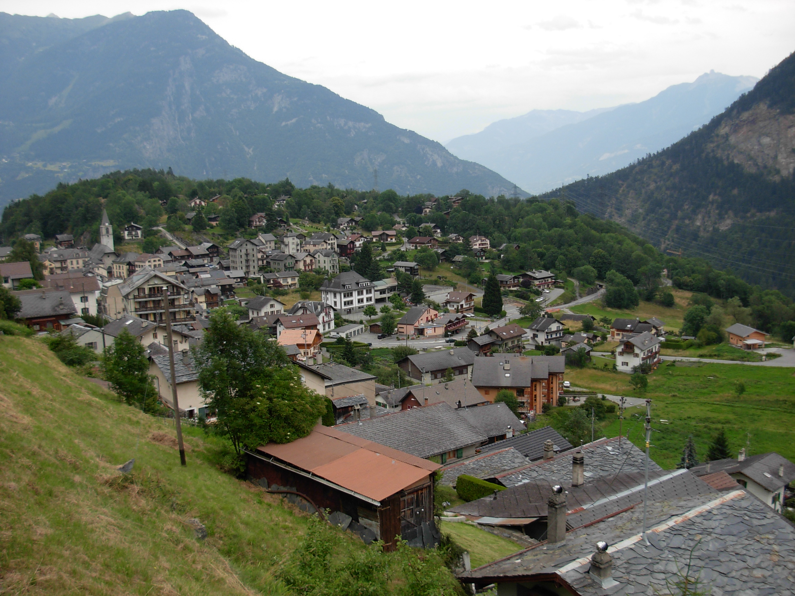
Vernayaz is a municipality in the district of Saint-Maurice, in the canton of Valais, Switzerland. History In 1913 the municipality was created when it separated from Salvan.Amtliches Gemeindeverzeichnis der Schweiz published by the Swiss Federal Statistical Office accessed 19 July 2011 Geography Vernayaz has an area, , of . Of this area, 12.9% is used for agricultural purposes, while 54.9% is forested. Of the rest of the land, 17.3% is settled (buildings or roads) and 14.9% is unproductive land.Coat of arms The of the municipal |
Salvan
Salvan () is a Municipalities of Switzerland, municipality in the Saint-Maurice District, in Valais, Switzerland. History Salvan is first mentioned in 1018 as ''cum Silvano''. Around 1025-31 it was mentioned as ''in monte Salvano''. The municipality was formerly known by its German name , however, that name is no longer used. In the 11th century, the Abbey of Saint-Maurice had rights over Salvan (as well as Ottanel), probably donated to it by Rudolph III of Burgundy. In the 19th century, Salvan developed rapidly as a resort after the creation of a carriage road in 1855, and in 1906 the Martigny–Châtelard Railway, Martigny–Châtelard line. On 5 October 1994, 25 people were found dead in three burned-out chalets in Salvan in what turned out to be a 1994 Solar Temple massacres, mass murder-suicide. The chalets were owned by Luc Jouret, founder of the Order of the Solar Temple. Several victims of the fire were children. Geography Salvan has an area, , of . Of this area, 7.5 ... [...More Info...] [...Related Items...] OR: [Wikipedia] [Google] [Baidu] |
Martigny
Martigny (; , ; ) is the capital city of the district of Martigny (district), Martigny, cantons of Switzerland, canton of Canton of Valais, Valais, Switzerland. It lies at an elevation of , and its population is approximately 20,000 inhabitants (''Martignerains'' or "Octoduriens"). It is a junction of roads joining Italy, France and Switzerland. One road links it over the Great St. Bernard Pass to Aosta (Italy), and the other over the col de la Forclaz to Chamonix (France). In winter, Martigny is known for its numerous nearby Alp ski resorts such as Verbier. Geography Martigny lies at an elevation of , about south-southeast of Montreux. It is on the left foothills of the steep hillsides of the Rhone Valley, at the foot of the Swiss Alps, and is located at the point where the southwestern-flowing Rhone turns ninety degrees northward and heads toward Lake Geneva. The river La Drance flows from the southern Valais Alps (Wallis) through Martigny and joins the Rhone from the left just ... [...More Info...] [...Related Items...] OR: [Wikipedia] [Google] [Baidu] |
Europabrücke
__NOTOC__ The Europa Bridge or Bridge of Europe (''Europabrücke'') is a bridge carrying the A13 Brenner Autobahn (and European route E45) over the Wipp valley just south of Innsbruck, Tyrol, Austria. The bridge spans the Sill River, and forms part of the main route across the Alps from western Austria to South Tyrol in Italy. It is also part of the main route between southeastern Germany and northern Italy. The longest span between pillars is . It hosts a 192-meter Bungee Jump, the fifth highest in the world. Record Built between 1959 and 1963 and standing high above the ground, it took the title of Europe's highest bridge, surpassing the Gueuroz Bridge in Switzerland Switzerland, officially the Swiss Confederation, is a landlocked country located in west-central Europe. It is bordered by Italy to the south, France to the west, Germany to the north, and Austria and Liechtenstein to the east. Switzerland .... The Italia Viaduct took over this title in 1974. ... [...More Info...] [...Related Items...] OR: [Wikipedia] [Google] [Baidu] |
Concrete
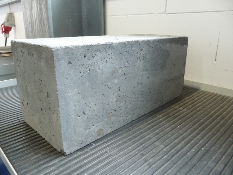
Concrete is a composite material composed of aggregate bound together with a fluid cement that cures to a solid over time. It is the second-most-used substance (after water), the most–widely used building material, and the most-manufactured material in the world. When aggregate is mixed with dry Portland cement and water, the mixture forms a fluid slurry that can be poured and molded into shape. The cement reacts with the water through a process called hydration, which hardens it after several hours to form a solid matrix that binds the materials together into a durable stone-like material with various uses. This time allows concrete to not only be cast in forms, but also to have a variety of tooled processes performed. The hydration process is exothermic, which means that ambient temperature plays a significant role in how long it takes concrete to set. Often, additives (such as pozzolans or superplasticizers) are included in the mixture to improve the physical prop ... [...More Info...] [...Related Items...] OR: [Wikipedia] [Google] [Baidu] |
Road Bridges In Switzerland
A road is a thoroughfare used primarily for movement of traffic. Roads differ from streets, whose primary use is local access. They also differ from stroads, which combine the features of streets and roads. Most modern roads are paved. The words "road" and "street" are commonly considered to be interchangeable, but the distinction is important in urban design. There are many types of roads, including parkways, avenues, controlled-access highways (freeways, motorways, and expressways), tollways, interstates, highways, and local roads. The primary features of roads include lanes, sidewalks (pavement), roadways (carriageways), medians, shoulders, verges, bike paths (cycle paths), and shared-use paths. Definitions Historically, many roads were simply recognizable routes without any formal construction or some maintenance. The Organization for Economic Co-operation and Development (OECD) defines a road as "a line of communication (travelled way) using a stabilized base other ... [...More Info...] [...Related Items...] OR: [Wikipedia] [Google] [Baidu] |


