|
Groynes
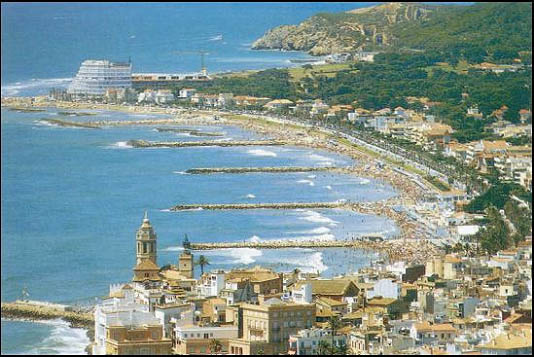
A groyne (in the U.S. groin) is a rigid aquatic structure built perpendicularly from an ocean shore (in coastal engineering) or a river bank, interrupting water flow and limiting the movement of sediment. It is usually made out of wood, concrete, or stone. In the ocean, groynes create beaches, prevent beach erosion caused by longshore drift where this is the dominant process and facilitate beach nourishment. There is also often cross-shore movement which if longer than the groyne will limit its effectiveness. In a river, groynes slow down the process of erosion and prevent ice-jamming, which in turn aids navigation. All of a groyne may be underwater, in which case it is a ''submerged groyne''. They are often used in tandem with seawalls and other coastal engineering features. Groynes, however, may cause a shoreline to be perceived as unnatural. Groynes are generally straight but could be of various plan view shapes, permeable or impermeable, built from various materials such ... [...More Info...] [...Related Items...] OR: [Wikipedia] [Google] [Baidu] |
Beach Evolution
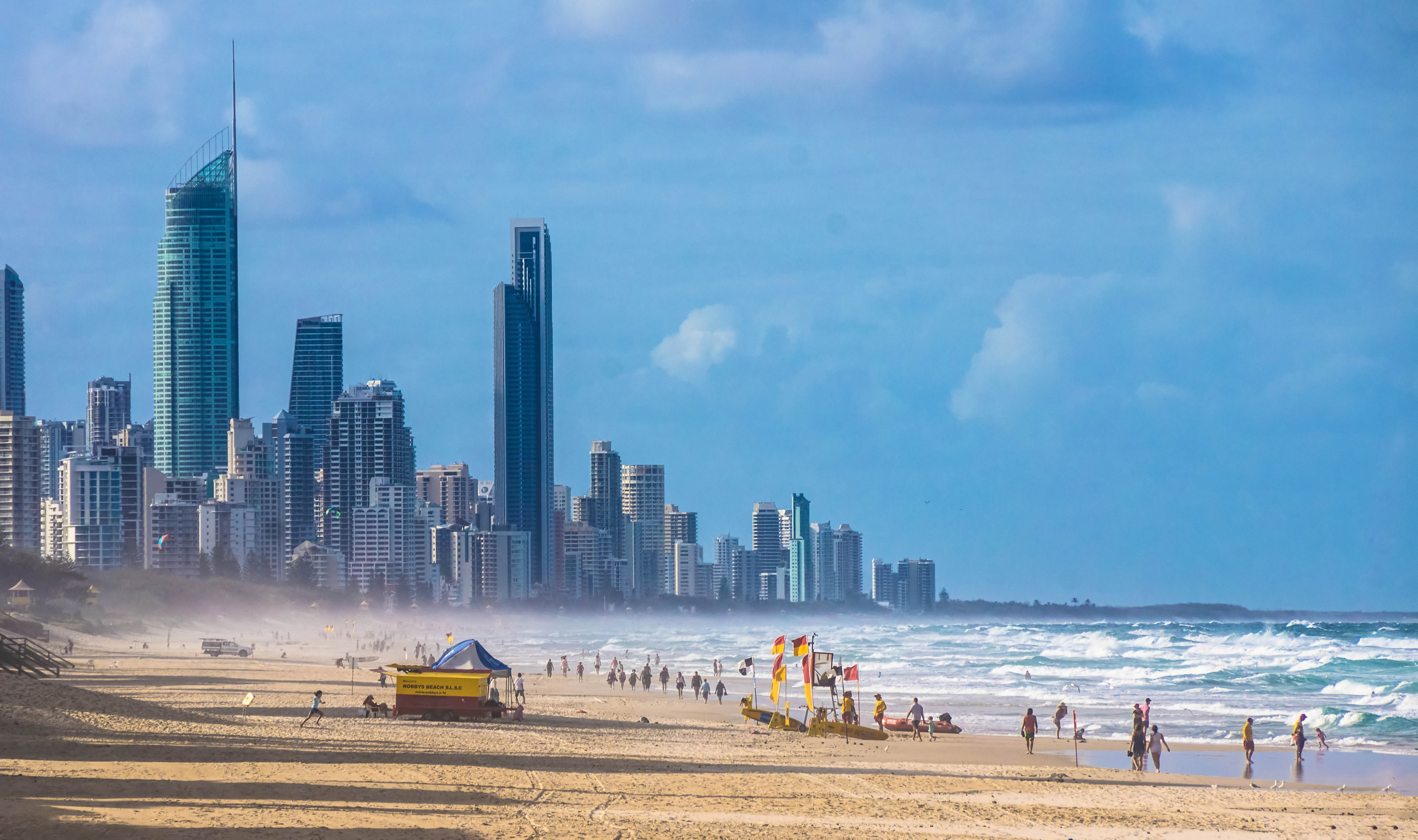
Beach evolution is a natural process occurring along shorelines where sea, lake, or river water erodes the land. Beaches form as sand accumulates over centuries through recurrent processes that erode rocky and sedimentary material into sand deposits. River deltas contribute by depositing silt carried from upriver, accreting at the river's outlet to extend lake or ocean shorelines. Catastrophic events such as tsunamis, hurricanes, and storm surges accelerate beach evolution. Accretion and erosion Sudden and rapid processes Tsunamis and hurricane-driven storm surges Tsunamis can cause significant erosion and sediment displacement. They can strip away years of accumulated sand from beaches and devastate coastal vegetation. These powerful waves can flood inland areas far beyond the typical high-tide mark. Additionally, the swift currents associated with thinundating tsunamican demolish homes and other coastal structures. A storm surge is an onshore gush of water associated ... [...More Info...] [...Related Items...] OR: [Wikipedia] [Google] [Baidu] |
Longshore Drift
Longshore drift from longshore current is a geological process that consists of the transportation of sediments (clay, silt, pebbles, sand, shingle, shells) along a coast parallel to the shoreline, which is dependent on the angle of incoming wave direction. Oblique incoming wind squeezes water along the coast, generating a water current that moves parallel to the coast. Longshore drift is simply the sediment moved by the longshore current. This current and sediment movement occurs within the surf zone. The process is also known as littoral drift. Beach sand is also moved on such oblique wind days, due to the swash and backwash of water on the beach. Breaking surf sends water up the coast (swash) at an oblique angle and gravity then drains the water straight downslope (backwash) perpendicular to the shoreline. Thus beach sand can move downbeach in a sawtooth fashion many tens of meters (yards) per day. This process is called "beach drift", but some workers regard it as sim ... [...More Info...] [...Related Items...] OR: [Wikipedia] [Google] [Baidu] |
Beach Nourishment
Beach nourishment (also referred to as beach renourishment, beach replenishment, or sand replenishment) describes a process by which sediment, usually sand, lost through longshore drift or erosion is replaced from other sources. A wider beach can reduce storm damage to coastal structures by dissipating energy across the surf zone, protecting upland structures and infrastructure from storm surges, tsunamis and unusually high tides. Beach nourishment is typically part of a larger integrated coastal zone management aimed at coastal defense. Nourishment is typically a repetitive process because it does not remove the physical forces that cause erosion; it simply mitigates their effects. The first nourishment project in the United States was at Coney Island, New York in 1922 and 1923. It is now a common shore protection measure used by public and private entities. History The first nourishment project in the U.S. was constructed at Coney Island, New York in 1922–1923. Before ... [...More Info...] [...Related Items...] OR: [Wikipedia] [Google] [Baidu] |
UNITS
Unit may refer to: General measurement * Unit of measurement, a definite magnitude of a physical quantity, defined and adopted by convention or by law **International System of Units (SI), modern form of the metric system **English units, historical units of measurement used in England up to 1824 **Unit of length Science and technology Physical sciences * Natural unit, a physical unit of measurement * Geological unit or rock unit, a volume of identifiable rock or ice * Astronomical unit, a unit of length roughly between the Earth and the Sun Chemistry and medicine * Equivalent (chemistry), a unit of measurement used in chemistry and biology * Unit, a vessel or section of a chemical plant#Chemical processes, chemical plant * Blood unit, a measurement in blood transfusion * Enzyme unit, a measurement of active enzyme in a sample * International unit, a unit of measurement for nutrients and drugs Mathematics * Unit number, the number 1 * Unit, identity element * Unit (ring the ... [...More Info...] [...Related Items...] OR: [Wikipedia] [Google] [Baidu] |
Port Of Dover
The Port of Dover is a cross-channel ferry, cruise terminal, maritime cargo and marina facility situated in Dover, Kent, south-east England. It is the nearest English port to France, at just away, and is one of the world's busiest maritime passenger ports, with 11.7 million passengers, 2.6 million lorries, 2.2 million cars and motorcycles and 80,000 coaches passing through it in 2017, and with an annual turnover of £58.5 million a year. This compares with the nearby Channel Tunnel, the only fixed link between the island of Great Britain and the European mainland, which now handles an estimated 20 million passengers and 1.6 million trucks per year. The modern port facility features a large artificial harbour constructed behind stone piers and a defensive concrete breakwater. The port is divided into two main sections: the Eastern Docks serve as the main cross-channel ferry terminal, while the Western Docks contain a cruise ship terminal and a yacht marina along with cargo facil ... [...More Info...] [...Related Items...] OR: [Wikipedia] [Google] [Baidu] |


