|
George Tooke Shield
The George Tooke Shield is a rugby league competition in southern New South Wales and the Australian Capital Territory. Founded in 1927, the competition is a part of the broader Canberra Rugby League Division of the New South Wales Rugby League. Senior Grade Clubs With the advent of the ACTRL in 1982, the George Tooke Shield effectively became the continuation of the Group 8 competition. Note: Other Clubs from the Canberra Rugby League enter teams in Second Division Lower Grades Former Clubs George Tooke Shield Grand Finals Team performance Second Division Under 18/19s Grand Finals Team performance Second Division (George Tooke Shield) Ladies League Tag Team performance Second Division Women's Tackle Team Performance References {{Rugby league in New South Wales Rugby league competitions in New South Wales Rugby league in the Australian Capital Territory ... [...More Info...] [...Related Items...] OR: [Wikipedia] [Google] [Baidu] |
Bungendore, New South Wales
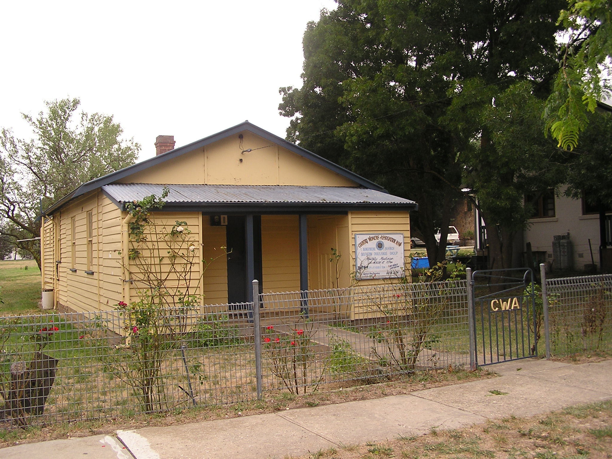
Bungendore is a town in the Queanbeyan Region of New South Wales, Australia, in Queanbeyan-Palerang Regional Council. It is on the Kings Highway near Lake George, the Molonglo River Valley and the Australian Capital Territory border. It has become a major tourist centre in recent years, popular with visitors from Canberra and some of it has heritage protection. It has expanded rapidly in recent years as a dormitory town of Canberra. History Prior to European settlement, the area was occupied by the Ngarigo people, whose northernmost lands extended to the southern shore of Lake George and around the base of the steep escarpment lying to the west of what is now Bungendore. The first Europeans in the vicinity were members of the exploratory party of Dr Charles Throsby in 1820, who, along with Hamilton Hume, also originally explored the Braidwood area. In 1824, explorer Allan Cunningham passed through Bungendore. A year later, the first European settlers arrived. The ... [...More Info...] [...Related Items...] OR: [Wikipedia] [Google] [Baidu] |
Canberra
Canberra ( ) is the capital city of Australia. Founded following the Federation of Australia, federation of the colonies of Australia as the seat of government for the new nation, it is Australia's largest inland city and the List of cities in Australia by population, eighth-largest city overall. The city is located at the northern end of the Australian Capital Territory at the northern tip of the Australian Alps, the country's highest mountain range. As of June 2021, Canberra's estimated population was 453,558. The area chosen for the capital had been inhabited by Indigenous Australians for up to 21,000 years, with the principal group being the Ngunnawal people. European settlement commenced in the first half of the 19th century, as evidenced by surviving landmarks such as St John the Baptist Church, Reid, St John's Anglican Church and Blundells Cottage. On 1 January 1901, federation of the colonies of Australia was achieved. Following a long dispute over whether Sydney o ... [...More Info...] [...Related Items...] OR: [Wikipedia] [Google] [Baidu] |
North Canberra Bears Colours
North is one of the four compass points or cardinal directions. It is the opposite of south and is perpendicular to east and west. ''North'' is a noun, adjective, or adverb indicating direction or geography. Etymology The word ''north'' is related to the Old High German ''nord'', both descending from the Proto-Indo-European unit *''ner-'', meaning "left; below" as north is to left when facing the rising sun. Similarly, the other cardinal directions are also related to the sun's position. The Latin word ''borealis'' comes from the Greek '' boreas'' "north wind, north", which, according to Ovid, was personified as the wind-god Boreas, the father of Calais and Zetes. ''Septentrionalis'' is from ''septentriones'', "the seven plow oxen", a name of ''Ursa Major''. The Greek ἀρκτικός (''arktikós'') is named for the same constellation, and is the source of the English word ''Arctic''. Other languages have other derivations. For example, in Lezgian, ''kefer'' can mean bot ... [...More Info...] [...Related Items...] OR: [Wikipedia] [Google] [Baidu] |
McLean Oval
MacLean, also spelt Maclean and McLean, is a Gaelic surname Mac Gille Eathain, or, Mac Giolla Eóin in Irish Gaelic), Eóin being a Gaelic form of Johannes (John). The clan surname is an Anglicisation of the Scottish Gaelic "Mac Gille Eathain", a patronymic meaning "son of Gillean". Gillean means "the Servant of he_Baptist.html" ;"title="aintJohn [the Baptist">aintJohn [the Baptist), named for Gilleathain na Tuaidh, known as "Gillian of the Battleaxe", a famous 5th century warrior. Eachan Reaganach and his brother Lachlan were descended from Gilleathain na Tuaidh, and are the progenitors of the clan. The family grew very powerful throughout the Hebrides and Scottish Highlands, Highlands through alliances with the Catholic Church in Scotland in the 9th century, the MacDonald (name), MacDonalds in the 13th century, and the MacKays and MacLeods in the 16th century. Other spellings of the name include McClean, MacLaine, McLaine, McLain, MacLane, and many others. Duart Castle i ... [...More Info...] [...Related Items...] OR: [Wikipedia] [Google] [Baidu] |
Harden, New South Wales
Harden–Murrumburrah is a township and community in the Hilltops Region and is located in the South West Slopes of New South Wales in Australia. Harden is adjacent to both the Canberra region of the Australian Capital Territory and the Riverina Region in the southwest area of NSW. The town is a twin town between Harden and Murrumburrah (which is noted as one of the earliest settlements in the southwest of New South Wales). The town is traversed by the Burley Griffin Way, the major link from and between the Riverina and the Hume Highway near Yass, and ultimately Sydney, Canberra and the coast. Cunningham Creek runs along the edge of the town. The Olympic Highway traverses the western end of the shire and is the major link through the central west to the Blue Mountains and from there to the Sydney region. Harden is 3½ hours away by road from Sydney, and 1½ hours from Canberra and Wagga Wagga. History Before European settlement the Harden area was inhabited by the W ... [...More Info...] [...Related Items...] OR: [Wikipedia] [Google] [Baidu] |
Googong
Googong is a locality located within the Queanbeyan–Palerang Regional Council government area, south of the Queanbeyan Central Business District (CBD). Googong contains the township of Googong and the developed areas of Fernleigh Park, Little Burra and Mount Campbell Estate. It borders Jerrabomberra and Karabar on the north and Environa on the west. It is about 10 kilometres (6.2 mi) south of the Queanbeyan central business district. Its citizens tend to utilize the infrastructure of neighboring Canberra. History Googong is situated in Ngunnawal and Ngambri traditional Aboriginal country. Five Aboriginal groups have identified custodial connections to the area. The area also has had European farmers and settlers since the mid-1800s. It is named after one of the largest farming properties in the area, although the meaning and origins of the word Googong remain obscure. The first part of the original stone homestead was built in 1845 and was first occupied by Alexander M ... [...More Info...] [...Related Items...] OR: [Wikipedia] [Google] [Baidu] |
Crookwell Memorial Oval
Crookwell is a small town located in the Southern Tablelands of New South Wales, Australia, in the Upper Lachlan Shire. At the , Crookwell had a population of 2,641. The town is at a relatively high altitude of 887 metres and there are several snowfalls during the winter months. The nearest major centre is the city of Goulburn which is about a half-hour drive to the south-east of the town. Crookwell is easily accessible to the state capital of Sydney and also the federal capital of Canberra. Most employment is based on rural industries, and the district is renowned for potato farming. Crookwell is also home to what was NSW's first wind farm, which consists of 8 turbines, and is located a few kilometres out of town on the road towards Goulburn. A railway once connected Goulburn and Crookwell, which opened in 1902, but passenger services to Crookwell station ceased in 1974, and the last goods train ran in 1985. The line is technically not closed, but has been listed as out of us ... [...More Info...] [...Related Items...] OR: [Wikipedia] [Google] [Baidu] |


