|
Gartloch
Gartloch () is a residential village in Glasgow, Scotland. Outwith the city's urban area (the closest contiguous district being Easterhouse), it is very close to the boundary with North Lanarkshire, south of Garnkirk and west of Gartcosh. To the south is Bishop Loch, a nature reserve and the body of water referred to in the village name, which forms part of the Seven Lochs Wetland Park. Much of the new village was created by the renovation of several of the buildings that made up Gartloch Hospital (also known as Gartloch Asylum) which opened in 1896 and closed in 1996. New houses have also been built in the surrounding area. Gartloch is within driving distance – about – from the Glasgow Fort cinema and retail park complex on the periphery of the Glasgow urban area at Garthamlock next to Junction 10 of the M8 motorway (Scotland), M8 motorway, and is around the same distance in the opposite direction from Junction 2A of the M73 motorway and Gartcosh railway station. History ... [...More Info...] [...Related Items...] OR: [Wikipedia] [Google] [Baidu] |
Gartloch Hospital
Gartloch Hospital was a mental health facility located on Gartloch Road near the village of Gartcosh, Scotland. It opened in 1896 and was officially closed in 1996. It was managed by NHS Greater Glasgow. History In January 1889 the City of Glasgow acquired the Gartloch Estate for the purpose of building a hospital. A foundation stone for the hospital, which was designed by Thomson and Sandilands, was laid in November 1892. It accepted its first patients in 1896 and was officially opened as the Gartloch District Asylum in June 1897. A nurses' home was completed in June 1900 and a tuberculosis sanatorium opened in December 1902. Bed capacity reached a peak of 830 in 1904. It served as an emergency hospital using hutted accommodation during the Second World War and joined the National Health Service in 1948. Robin Farquharson was an inmate at the hospital at the time he joined the Scottish Union of Mental Patients in the early 1970s. After the introduction of Care in the Communi ... [...More Info...] [...Related Items...] OR: [Wikipedia] [Google] [Baidu] |
Gartcosh
Gartcosh () is a village in North Lanarkshire, Scotland. The village lies about east of Glasgow, and about northwest of the town of Coatbridge. According to a 2012 estimate, the population of Gartcosh was 2,130 people. Expansion of the village including 300 homes in the Heathfield Park estate built by Redrow Homes and new developments by Oak NGate (Gartloch Avenue/Bishop Loch), Avant Homes (Johsnton Loch) and Bellway Homes (Oakwood) have increased the population. History The name Gartcosh might be derived perhaps from the Gaelic meaning 'field' and meaning 'hollow'. Alternatively 'enclosure of the foot' has been suggested. Several old documents show Gartcosh (spelled Gartcash), including maps by Timothy Pont, Forrest, and William Roy. Though originally an agricultural village, Gartcosh is better known for its role in Scottish industry. In the early 19th century there were a number of mines in the local area, and the first railway to service Gartcosh was used to transport ... [...More Info...] [...Related Items...] OR: [Wikipedia] [Google] [Baidu] |
Easterhouse
Easterhouse is a suburb of Glasgow, Scotland, east of the Glasgow city centre, city centre on land gained from the county of Lanarkshire as part of an expansion of Glasgow before the Second World War. The area is on high ground north of the River Clyde and south of the Kelvin (river), River Kelvin and Campsie Fells. Building began in the mid-1950s to provide better housing for people in the East End living in sub-standard conditions. At the 2001 UK Census, 2001 Census, its population was 26,495. Neighbourhoods of Easterhouse include Provanhall, Kildermorie, Lochend, Rogerfield and Commonhead, as well as Wellhouse, Easthall and Queenslie which are separated from the other parts by the M8 motorway (Scotland), M8 motorway running east–west through the area. The nearby communities of Barlanark, Craigend, Glasgow, Craigend, Cranhill, Garthamlock and Ruchazie were constructed using the same building principles and have suffered from similar problems. [...More Info...] [...Related Items...] OR: [Wikipedia] [Google] [Baidu] |
Garnkirk
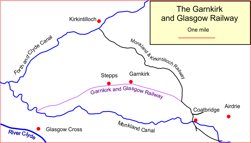
Garnkirk is a settlement in North Lanarkshire, located a mile (1.5 km) southwest of Muirhead, North Lanarkshire, Muirhead. It is located 10 km northeast of Glasgow's city centre and 23 km southwest of Falkirk. Garnkirk is connected via the nearby motorways M8 motorway (Scotland), M8, M73 motorway, M73 and M80 motorway, M80. This provides access to Cumbernauld, Glasgow and Stirling. The nearest modern railway stations are in Gartcosh and Stepps. History The etymology of the name is ‘enclosure of the hen’. Several old documents show Garnkirk with various spellings including maps by Timothy Pont, Charles Ross, and William Roy. John Dunlop bought Garnkirk House in 1634. The house stayed in the family for many years. The Dunlops were well known. For example James Dunlop being a wealthy landowner opposed Thomas Muir of Huntershill, Thomas Muir and the congregation at Cadder over who appointed their minister. The house is now the clubhouse of the Crow Wood Golf Clu ... [...More Info...] [...Related Items...] OR: [Wikipedia] [Google] [Baidu] |
Seven Lochs Wetland Park
The Seven Lochs Wetland Park is an urban park in Scotland. It comprises nearly 20 km2 of land and water between Glasgow and Coatbridge. Scope of Project Summary of the project A Masterplan to create the initial scope of the project was financed by the European Regional Development Fund as part of its SIGMA for Water initiative. In the period beginning in 2010 through to the date of the Masterplan in March 2013, SIGMA for Water had engagement with 11 other projects in 8 European countries. The clients for this study werGlasgow and Clyde Valley Green Network Partnership. The seven Lochs arose after the retreat of the last Ice Age and lie close together towards the north east of Glagow in an area once known for coal mining, iron smelting and other heavy industrial uses. The projected park was to combine many existing features so as to create a large wildlife and recreation area in proximity to urban communities at its boundaries. The process was designed to engage those c ... [...More Info...] [...Related Items...] OR: [Wikipedia] [Google] [Baidu] |
Glasgow
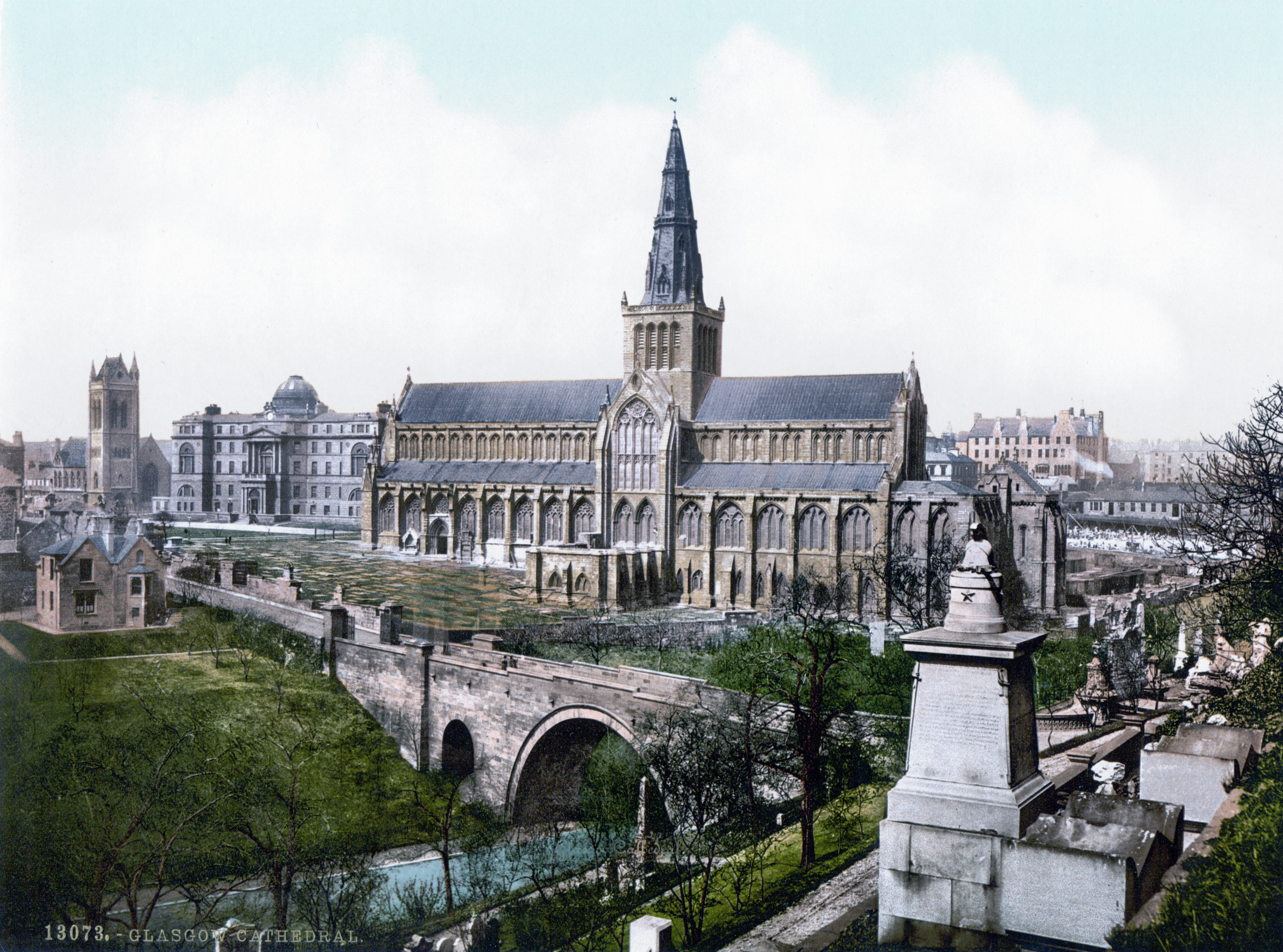
Glasgow is the Cities of Scotland, most populous city in Scotland, located on the banks of the River Clyde in Strathclyde, west central Scotland. It is the List of cities in the United Kingdom, third-most-populous city in the United Kingdom and the 27th-most-populous city in Europe, and comprises Wards of Glasgow, 23 wards which represent the areas of the city within Glasgow City Council. Glasgow is a leading city in Scotland for finance, shopping, industry, culture and fashion, and was commonly referred to as the "second city of the British Empire" for much of the Victorian era, Victorian and Edwardian eras. In , it had an estimated population as a defined locality of . More than 1,000,000 people live in the Greater Glasgow contiguous urban area, while the wider Glasgow City Region is home to more than 1,800,000 people (its defined functional urban area total was almost the same in 2020), around a third of Scotland's population. The city has a population density of 3,562 p ... [...More Info...] [...Related Items...] OR: [Wikipedia] [Google] [Baidu] |
Glasgow East (UK Parliament Constituency)
Glasgow is the most populous city in Scotland, located on the banks of the River Clyde in west central Scotland. It is the third-most-populous city in the United Kingdom and the 27th-most-populous city in Europe, and comprises 23 wards which represent the areas of the city within Glasgow City Council. Glasgow is a leading city in Scotland for finance, shopping, industry, culture and fashion, and was commonly referred to as the "second city of the British Empire" for much of the Victorian and Edwardian eras. In , it had an estimated population as a defined locality of . More than 1,000,000 people live in the Greater Glasgow contiguous urban area, while the wider Glasgow City Region is home to more than 1,800,000 people (its defined functional urban area total was almost the same in 2020), around a third of Scotland's population. The city has a population density of 3,562 people per km2, much higher than the average of 70/km2 for Scotland as a whole. Glasgow grew from ... [...More Info...] [...Related Items...] OR: [Wikipedia] [Google] [Baidu] |
M8 Motorway (Scotland)
The M8 is the busiest motorway in Scotland. It connects the country's two largest cities, Glasgow and Edinburgh, and serves other large communities including Airdrie, North Lanarkshire, Airdrie, Coatbridge, Greenock, Livingston, Scotland, Livingston and Paisley, Renfrewshire, Paisley. The motorway is long. A major construction project to build the final section between Newhouse, North Lanarkshire, Newhouse and Baillieston was completed on 30 April 2017. The motorway has one service station, Heart of Scotland services, Heart of Scotland Services, previously named Harthill due to its proximity to Harthill, Scotland, the village. History With the advent of motorway-building in the United Kingdom in the late 1950s, the M8 was planned as one of a core of new motorways, designed to replace the A8 road (Great Britain), A8 road as a high-capacity alternative for intercity travel. The motorway was constructed piecemeal in several stages bypass (road), bypassing towns, beginning in 1965 ... [...More Info...] [...Related Items...] OR: [Wikipedia] [Google] [Baidu] |
Timothy Pont
Reverend Timothy Pont () was a Scottish minister, cartographer and topographer. He was the first to produce a detailed map of Scotland. Pont's maps are among the earliest surviving to show a European country in minute detail, from an actual survey. Life He was the second son of Robert Pont, a Church of Scotland minister in Edinburgh and Lord of Session (judge), and his first wife. He matriculated as student of St. Leonard's College, St. Andrews, in 1580, and obtained the degree of M.A. in 1584. He spent the late 1580s and the 1590s travelling throughout Scotland. Between 1601 and 1610 he was the minister of Dunnet Parish Church in Caithness. He took a year's leave in 1608 to map Scotland. He was continued 7 December 1610 but resigned some time before 1614, when the name of William Smith appears as minister of the parish. On 25 July 1609, Pont had a Royal grant of two thousand acres (8 km²) in connection with the scheme for the plantation of Ulster, the price being 400' ... [...More Info...] [...Related Items...] OR: [Wikipedia] [Google] [Baidu] |
Blaeu - Atlas Of Scotland 1654 - GLOTTIANA PRÆFECTVRA INFERIOR - Lower Clydesdale Gartcosh , a surname
{{disambiguation, surname ...
Blaeu is the name of * Willem Blaeu (1571–1638), Dutch cartographer and father of Joan Blaeu * Joan Blaeu (1596–1673), Dutch cartographer and son of Willem Blaeu * ''Blaeu Atlas of Scotland'', by Joan Blaeu, published in 1654 * ''Atlas Blaeu'' or ''Atlas Maior'', by Joan Blaeu, published in 1635 * ''Stedenboek Blaeu'' or '' Toonneel der Steeden'', by Joan Blaeu, published in 1649 See also * Blaauw Blaauw () is a Dutch language, Dutch surname. It is an archaic spelling of modern Dutch ''blauw'', meaning ''blue''. This may have referred to the pale skin, the eyes, or the clothes of the original bearer of the name or the surname may be metonymic ... [...More Info...] [...Related Items...] OR: [Wikipedia] [Google] [Baidu] |
Gartcosh Railway Station
Gartcosh railway station serves the village of Gartcosh, North Lanarkshire, Scotland. The railway station is managed by ScotRail and is located on the Cumbernauld Line, northeast of Glasgow Queen Street (High Level) station. The station was opened on 9 May 2005 by The Princess Royal. The station was built at a cost of over £3 million, provided by Strathclyde Passenger Transport and North Lanarkshire council, on the site of the previous Gartcosh station that closed in 1962. Services 2017 Monday to Saturday there are three trains per hour from Gartcosh to Glasgow Queen Street westbound and eastbound with an hourly service continuing to . Two of the westbound services run via Queen St Low Level to and over the North Clyde Line The North Clyde Line (defined by Network Rail as the ''Glasgow North Electric Suburban'' line) is a suburban railway in West Central Scotland. The route is operated by ScotRail. As a result of the incorporation of the Airdrie–Bat ... [...More Info...] [...Related Items...] OR: [Wikipedia] [Google] [Baidu] |
M73 Motorway
The M73 is a motorway in Glasgow and North Lanarkshire, Scotland. It is long and connects the M74 motorway with the M80 motorway, providing an eastern bypass for Glasgow. The short stretch between junctions 1 and 2 is part of unsigned international E-road network E05, where it continues along the M8 through Glasgow. To the south, the M74 motorway is also part of the E05. Route Starting at the M74 junction 4 (M73 junction 1) by the River Clyde, it proceeds north with Birkenshaw to the east and crosses the Whifflet railway line before meeting the M8 and A8 at a three-level interchange, west of Swinton. The North Clyde railway line passes underneath the M73 immediately north of this interchange. The M73 then passes alongside Woodend Loch before reaching junction 2A at Gartcosh. There is then a further of motorway, before traffic exits onto the M80 westbound. The road is a dual three-lane road between junctions 1 and 2, and a dual two-lane road between junctions 2 ... [...More Info...] [...Related Items...] OR: [Wikipedia] [Google] [Baidu] |


