|
Ganghwado
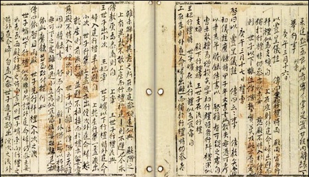
Ganghwa Island (), also Ganghwado, is an island in Ganghwa County, Incheon, South Korea. It is in the Yellow Sea and in an estuary of the Han River. The island is separated from Gimpo (on the South Korean mainland) by a narrow channel spanned by two bridges, and from Kaesong (Gaeseong) in North Korea by the main channel of the Han River. It offers some of the closest views in the South of North Korean villages, which can be seen on clear days from less than two kilometers. It is strategically located, controlling access to the river, which runs through former Joseon and South Korea's capital, Seoul. Its fortifications were repeatedly attacked in the 19th century. With an area of , it constitutes most of Ganghwa County (a division of Incheon). The island has a population of about 65,500, half of whom live in Ganghwa Town (Ganghwa-eup) in the northeast. Name Before the 10th century, the island went by various names, including Haegu (), Hyeolgu (), Gangha (). In 940, during the G ... [...More Info...] [...Related Items...] OR: [Wikipedia] [Google] [Baidu] |
Incheon
Incheon is a city located in northwestern South Korea, bordering Seoul and Gyeonggi Province to the east. Inhabited since the Neolithic, Incheon was home to just 4,700 people when it became an international port in 1883. As of February 2020, about 3 million people live in the city, making it South Korea's third-most-populous city after Seoul and Busan. The city's growth has been assured in modern times with the development of its port due to its natural advantages as a coastal city and its proximity to the South Korean capital. It is part of the Seoul Metropolitan Area, along with Seoul itself and Gyeonggi Province, forming the world's fourth-largest List of metropolitan areas by population, metropolitan area by population. Incheon has since led the economic development of South Korea by opening its port to the outside world, ushering in the modernization of South Korea as a center of industrialization. In 2003, the city was designated as South Korea's first free economic zon ... [...More Info...] [...Related Items...] OR: [Wikipedia] [Google] [Baidu] |
Yellow Sea
The Yellow Sea, also known as the North Sea, is a marginal sea of the Western Pacific Ocean located between mainland China and the Korean Peninsula, and can be considered the northwestern part of the East China Sea. Names It is one of four seas named after color terms (the others being the Black Sea, the Red Sea and the White Sea), and its name is descriptive of the golden-yellow color of the silt-ridden water discharged from major rivers. The innermost bay of northwestern Yellow Sea is called the Bohai Sea (previously Gulf of Zhili / Beizhili), into which flow some of the most important rivers of northern China, such as the Yellow River (through Shandong province and its capital Jinan), the Hai River (through Beijing and Tianjin) and the Liao River (through Liaoning province). The northeastern extension of the Yellow Sea is called the Korea Bay, into which flow the Yalu River, the Chongchon River and the Taedong River. Geography Extent The International Hydrographi ... [...More Info...] [...Related Items...] OR: [Wikipedia] [Google] [Baidu] |
Goryeo
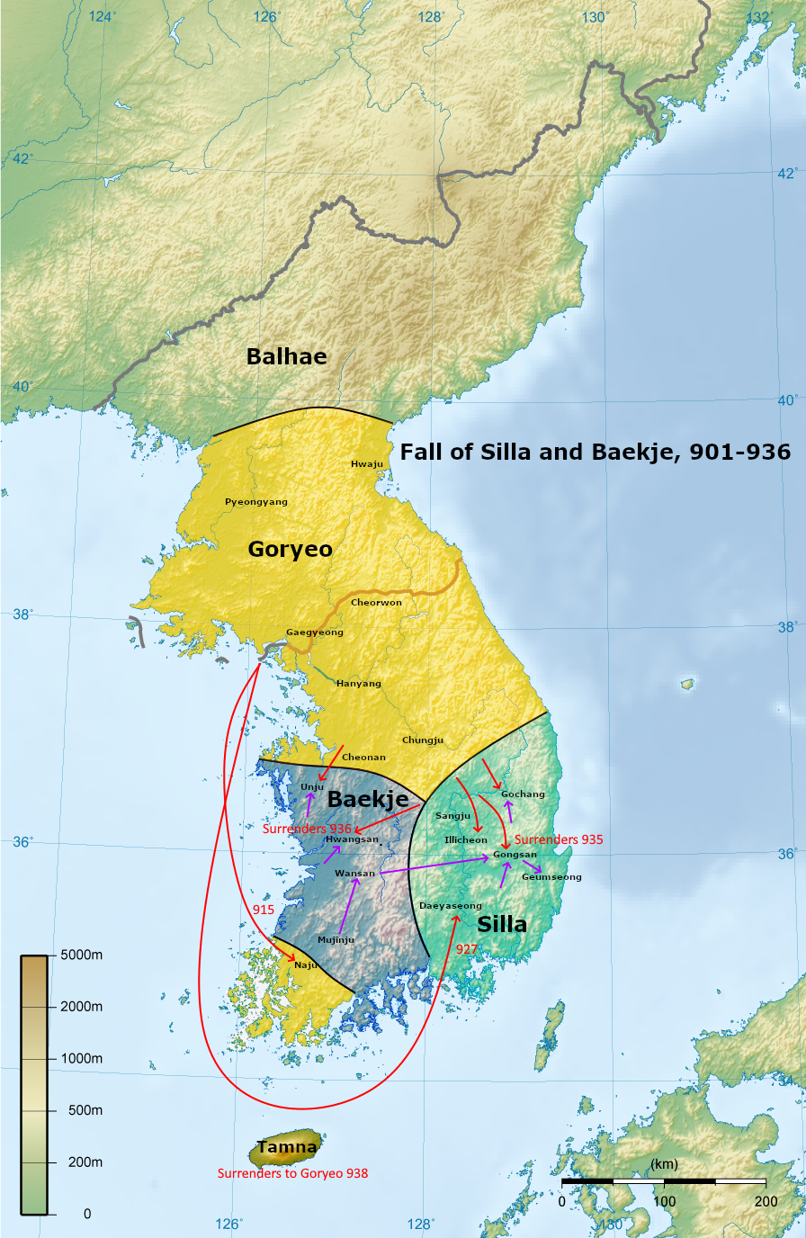
Goryeo (; ) was a Korean state founded in 918, during a time of national division called the Later Three Kingdoms period, that unified and ruled the Korea, Korean Peninsula until the establishment of Joseon in 1392. Goryeo achieved what has been called a "true national unification" by Korean historians as it not only unified the Later Three Kingdoms but also incorporated much of the ruling class of the northern kingdom of Balhae, who had origins in Goguryeo of the earlier Three Kingdoms of Korea. According to Korean historians, it was during the Goryeo period that the individual identities of Goguryeo, Baekje and Silla were successfully merged into a single entity that became the basis of the modern-day Koreans, Korean identity. The name "Korea" is derived from the name of Goryeo, also romanized as Koryŏ, which was first used in the early 5th century by Goguryeo; Goryeo was a successor state to Later Goguryeo and Goguryeo. Throughout its existence, Goryeo, alongside Unified S ... [...More Info...] [...Related Items...] OR: [Wikipedia] [Google] [Baidu] |
Japan–Korea Treaty Of 1876
The Japan–Korea Treaty of 1876 (also known as the Japan–Korea Treaty of Amity in Japan and the Treaty of Ganghwa Island in Korea) was made between representatives of the Empire of Japan and the Joseon, Kingdom of Joseon in 1876.Chung, Young-lob (2005). . "...the initial opening of Korea's borders to the outside world came in the form of the Korea-Japan Treaty of Amity (the so-called Ganghwa Treaty)." Negotiations were concluded on February 26, 1876.Korean Mission to the Conference on the Limitation of Armament, Washington, D.C., 1921–1922 (1922). ; "Treaty between Japan and Korea, dated February 26, 1876." In Korea, Heungseon Daewongun, who instituted a policy of increased isolationism against the European powers, was forced into retirement by his son Gojong of Korea, King Gojong and Gojong's wife, Empress Myeongseong. Second French Empire, France and the United States had already made several unsuccessful attempts to begin commerce with the Joseon dynasty during the Daewo ... [...More Info...] [...Related Items...] OR: [Wikipedia] [Google] [Baidu] |
United States Expedition To Korea
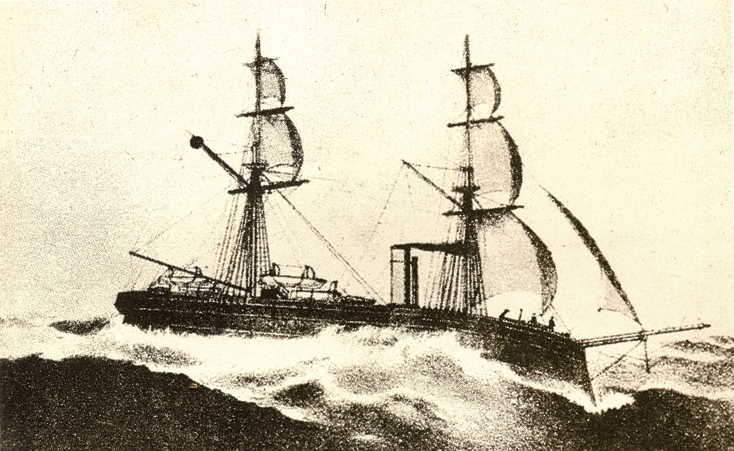
The United States expedition to Korea, known in Korea as the ''Shinmiyangyo'' () or simply the Korean Expedition, was an American military action in Korea that took place predominantly on and around Ganghwa Island in 1871. Background Frederick Low, the American ambassador to China, sent the mission to ascertain the fate of the merchant ship ''General Sherman'', which had gone missing while visiting Korea in 1866. According to a ''National Interest'' article, Low's own records indicated the punitive campaign was motivated by a need to demonstrate American power over what he considered to be a weaker nation. Previously, the American commanders had felt entitled. They would "peacefully" enter Korean waters for survey and trade aboard heavily armed warships, all the while ignoring repeated diplomatic requests to respect Korean sovereignty. Korean officials had sent letters holding the Americans responsible for unlawfully sending warships into their territorial waters, and also e ... [...More Info...] [...Related Items...] OR: [Wikipedia] [Google] [Baidu] |
Korea Meteorological Administration
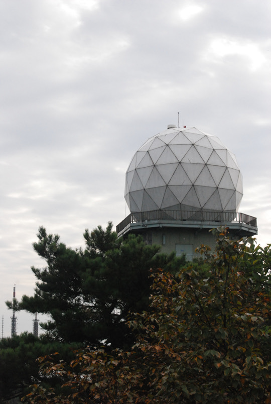
The Korea Meteorological Administration (KMA; ) is the national meteorological service of South Korea. The service started in 1904 joining the WMO in 1956. Numerical weather prediction is performed using the Unified Model software suite. History The current administration was established in 1990. Temporary observatories set up in 1904 in Busan, Incheon, Mokpo and elsewhere were precursors to the current KMA. The Central Meteorological Office (CMO) was established in August 1949. In April 1978, CMO was renamed the Korea Meteorological Service (KMS). In 1999, the administration introduced a meteorological supercomputer for forecasting. As of November 2021, supercomputers ''Guru'' and ''Maru'' ranked 27th and 28th respectively TOP500, in the world. In 2010, the KMA launched South Korea’s first geostationary meteorological satellite, the Communication, Ocean and Meteorological Satellite (COMS), also known as Chollian. Chollian started its official operation in 2011. The Seoul and ... [...More Info...] [...Related Items...] OR: [Wikipedia] [Google] [Baidu] |
Gyeonggi Province
Gyeonggi Province (, ) is the most populous province in South Korea. Seoul, the nation's largest city and capital, is in the heart of the area but has been separately administered as a provincial-level ''special city'' since 1946. Incheon, the nation's third-largest city, is on the coast of the province and has been similarly administered as a provincial-level ''metropolitan city'' since 1981. The three jurisdictions are collectively referred to as '' Sudogwon'' and cover , with a combined population of over 26 million - amounting to over half (50.25%) of the entire population of South Korea, and a third of the population of the Korean peninsula at the 2020 census. Etymology Its name, ''Gyeonggi'', means "京 (the capital) and 畿 (the surrounding area)". Thus, ''Gyeonggi Province'' can be translated as "Seoul and the surrounding areas of Seoul". History Gyeonggi Province has been a politically important area since 18 BCE, when Korea was divided into three nations durin ... [...More Info...] [...Related Items...] OR: [Wikipedia] [Google] [Baidu] |
Keiki-dō
, alternatively Keiki Province, was a province of Korea under Japanese rule. Its capital was at Keijō (Seoul). The province consisted of what is now the South Korean territories of Seoul and Gyeonggi, as well as parts of what is now southern North Korea. Population Number of people by nationality according to the 1936 census: * Overall population: 2,392,296 people ** Japanese: 153,723 people ** Koreans: 2,225,379 people ** Other: 13,194 people Administrative divisions The following list is based on the administrative divisions of 1945: Cities *Keijō (京城府) - (capital) aka Gyeongseong (), present day Seoul. *Jinsen (仁川府): Incheon (). present Incheon Metropolitan City. *Kaijō (開城府): Gaeseong (). present Gaeseong Special City. Towns and villages These are the towns and villages in each district: * Kōyō (高陽): Goyang (). present Goyang City, Mapo District and Eunpyeong District in Seoul Special City. * Kōshū (廣州): Gwangju, Gyeonggi (). ... [...More Info...] [...Related Items...] OR: [Wikipedia] [Google] [Baidu] |
French Expedition To Korea
The French Intervention to Korea (, ) was an 1866 punitive expedition undertaken by the Second French Empire against Joseon Korea in retaliation for the execution of seven French Catholic missionaries. The encounter over Ganghwa Island lasted nearly six weeks. The result was an eventual French retreat, and a check on French influence in the region. The encounter also confirmed Korea in its isolationism for another decade, until Japan forced it to open up to trade in 1876 through the Treaty of Ganghwa. In contemporary South Korea it is known as the ''Byeongin yangyo'', or "Western disturbance of the ''byeongin'' year". Background Throughout the history of the Joseon dynasty, Korea maintained a policy of strict isolationism from the outside world (with the exceptions being interaction with the Qing dynasty and occasional trading with Japan through the island of Tsushima). However, it did not entirely succeed in sealing itself off from foreign contact, and Catholic missionarie ... [...More Info...] [...Related Items...] OR: [Wikipedia] [Google] [Baidu] |
Ganghwa County
Ganghwa County () is a Administrative divisions of South Korea, county in Incheon, South Korea. The county is composed of Ganghwa Island and the minor islands around it. History Ganghwa County contains some of the most important historical sites in Korea. These sites cover the prehistoric Old Stone Age, old and New Stone Age, new stone ages as well as the Bronze Age, bronze and Iron Age, iron ages. Ganghwa Island is rich in dolmen that have been designated as World Heritage Site, World Heritage Sites. There are about Gochang, Hwasun and Ganghwa Dolmen Sites#Ganghwa Dolmen Sites, 150 dolmen on the island. Their distribution shows they were closely related to fishing in the Bronze Age although they are now separated from the sea. They are located on the slopes of mountains and are thus higher in elevation than their counterparts. It is believed but not proven that the Ganghwa dolmen are the earliest Korean ones made because the dolmen in Bugeun-ri and Gocheon-ri resemble those in G ... [...More Info...] [...Related Items...] OR: [Wikipedia] [Google] [Baidu] |
Battle Of Ganghwa
The Battle of Ganghwa was fought during the 1871 United States expedition to Korea, a conflict between Joseon and the United States. In May of that year, five Asiatic Squadron warships set sail from Japan to ascertain what happened to the crew of the SS ''General Sherman'' as well as to establish a trade treaty with the Hermit Kingdom similar to the one Commodore Perry had pressured Japan into adopting in the early 1850s. When American forces arrived in Korea, the originally peaceful mission turned into a battle when guns from a Korean fort suddenly opened fire on the Americans. The battle to capture Ganghwa Island's forts was the largest engagement of the conflict. Background The United States Navy expedition involved over 1,400 personnel, 542 sailors, 109 marines and six 12-pounder howitzers made up the landing party. Frigate USS ''Colorado'', the sloops USS ''Alaska'' and USS ''Benicia'' and the gunboats USS ''Monocacy'', and USS ''Palos'' were assigned to th ... [...More Info...] [...Related Items...] OR: [Wikipedia] [Google] [Baidu] |
Mudflat
Mudflats or mud flats, also known as tidal flats or, in Ireland, slob or slobs, are coastal wetlands that form in intertidal areas where sediments have been deposited by tides or rivers. A global analysis published in 2019 suggested that tidal flat ecosystems are as extensive globally as mangroves, covering at least of the Earth's surface. / They are found in sheltered areas such as bays, bayous, lagoons, and estuaries; they are also seen in freshwater lakes and salty lakes (or inland seas) alike, wherein many rivers and creeks end. Mudflats may be viewed geologically as exposed layers of bay mud, resulting from deposition of estuarine silts, clays and aquatic animal detritus. Most of the sediment within a mudflat is within the intertidal zone, and thus the flat is submerged and exposed approximately twice daily. A recent global remote sensing analysis estimated that approximately 50% of the global extent of tidal flats occurs within eight countries (Indonesia, China, Au ... [...More Info...] [...Related Items...] OR: [Wikipedia] [Google] [Baidu] |


