|
Francis M. Smith
Francis Marion Smith (February 2, 1846 – August 27, 1931) was an American miner, business magnate and civic builder in the Mojave Desert, the San Francisco Bay Area, and Oakland, California. He was known nationally and internationally as "Borax Smith" and "The Borax King", as his company produced the popular '' 20-Mule-Team Borax'' brand of household cleaner. Frank Smith created the Key System, an interurban private transit system, which operated in Oakland and the East Bay with a terminus in the San Francisco Transbay Terminal. Early life Francis Marion Smith was born in Richmond, Wisconsin in 1846. He went to public schools and graduated from Milton Academy in Milton, Wisconsin. Early mining career At the age of 21, he left Wisconsin to prospect for mineral wealth in the American West, starting in Nevada. In 1872, while contracting to provide firewood to a small borax operation at nearby Columbus Marsh, Smith discovered a rich supply of ulexite at Teels Marsh i ... [...More Info...] [...Related Items...] OR: [Wikipedia] [Google] [Baidu] |
Borax
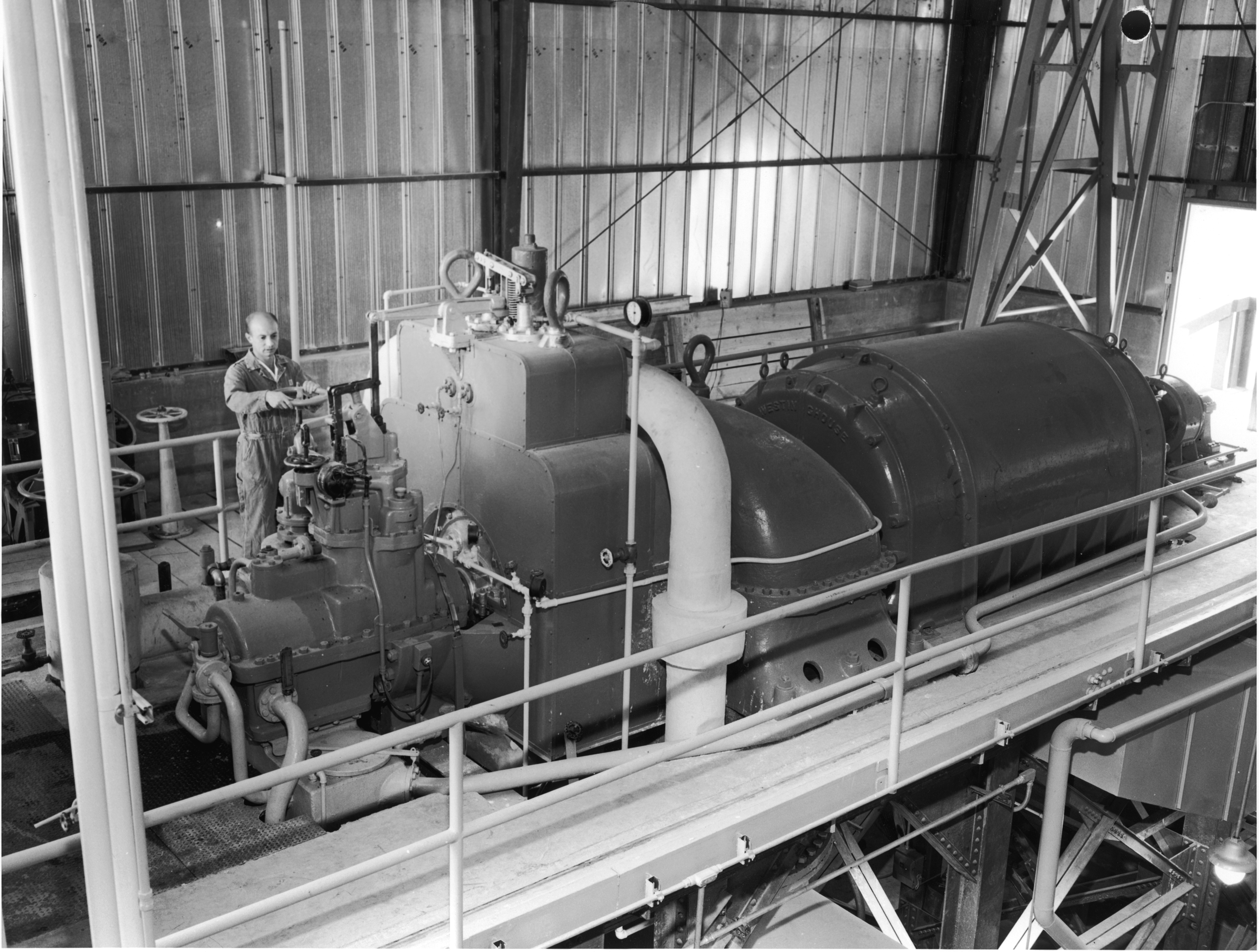
The BORAX Experiments were a series of safety experiments on boiling water nuclear reactors conducted by Argonne National Laboratory in the 1950s and 1960s at the National Reactor Testing Station in eastern Idaho.Light Water Reactor Technology Development Argonne National Laboratory They were performed using the five BORAX reactors that were designed and built by Argonne. BORAX-III was the first nuclear reactor to supply electrical power to the grid in the United States in 1955. Evolution of BORAX This series of tests began in 1952 with the construction of the BORAX-I |
American Old West
The American frontier, also known as the Old West, and popularly known as the Wild West, encompasses the geography, history, folklore, and culture associated with the forward wave of American expansion in mainland North America that began with European colonial settlements in the early 17th century and ended with the admission of the last few contiguous western territories as states in 1912. This era of massive migration and settlement was particularly encouraged by President Thomas Jefferson following the Louisiana Purchase, giving rise to the expansionist attitude known as "manifest destiny" and historians' " Frontier Thesis". The legends, historical events and folklore of the American frontier, known as the frontier myth, have embedded themselves into United States culture so much so that the Old West, and the Western genre of media specifically, has become one of the defining features of American national identity. Periodization Historians have debated at length as ... [...More Info...] [...Related Items...] OR: [Wikipedia] [Google] [Baidu] |
Goldfield, Nevada
Goldfield is an unincorporated town and census-designated place and the county seat of Esmeralda County, Nevada. It is the locus of the Goldfield CDP which had a resident population of 268 at the 2010 census, down from 440 in 2000. Goldfield is located southeast of Carson City, along U.S. Route 95. Goldfield was a boomtown in the first decade of the 20th century due to the discovery of gold – between 1903 and 1940, Goldfield's mines produced more than $86 million at then-current prices. Much of the town was destroyed by a fire in 1923, although several buildings survived and remain today, notably the Goldfield Hotel, the Consolidated Mines Building (the communications center of the town until 1963), and the schoolhouse. Gold exploration continues in and around the town today. History The community was named for deposits of gold near the original town site. Gold was discovered at Goldfield in 1902, its year of inception. By 1904, the Goldfield district produced abou ... [...More Info...] [...Related Items...] OR: [Wikipedia] [Google] [Baidu] |
Tonopah, Nevada
Tonopah ( , Shoshoni language: Tonampaa) is an Unincorporated towns in Nevada, unincorporated town in the U.S. state of Nevada and the county seat of Nye County, Nevada, Nye County. Nicknamed the Queen of the Silver Camps for its mining-rich history, it is now primarily a tourism-based resort city, notable for attractions like the Mizpah Hotel and the Clown Motel. Tonopah is located at the junction of U.S. Routes U.S. Route 6 in Nevada, 6 and U.S. Route 95 in Nevada, 95, approximately midway between Las Vegas and Reno, Nevada, Reno. In the United States Census 2010, 2010 census, the population was 2,478. The census-designated place (CDP) of Tonopah has a total area of , all land. History The American community began circa 1900 with the discovery of silver-rich ore by prospector Jim Butler. The legendary tale of discovery says that he went looking for a burro that had wandered off during the night and sought shelter near a rock outcropping. When Butler discovered the animal t ... [...More Info...] [...Related Items...] OR: [Wikipedia] [Google] [Baidu] |
Mojave Desert News
''Mojave Desert News'' is a newspaper published in California City, California. Named after the Mojave Desert, it reports on news in Kern County Kern County is a county (United States), county located in the U.S. state of California. As of the 2020 United States census, 2020 census, the population was 909,235. Its county seat is Bakersfield, California, Bakersfield. Kern County compris .... Founded in 1938, it claims to be the longest-running newspaper in the east of the county. References External links * Newspapers published in California Mass media in Kern County, California Mojave, California History of Kern County, California History of the Mojave Desert region Newspapers established in 1938 1938 establishments in California California City, California {{California-newspaper-stub ... [...More Info...] [...Related Items...] OR: [Wikipedia] [Google] [Baidu] |
Marsh
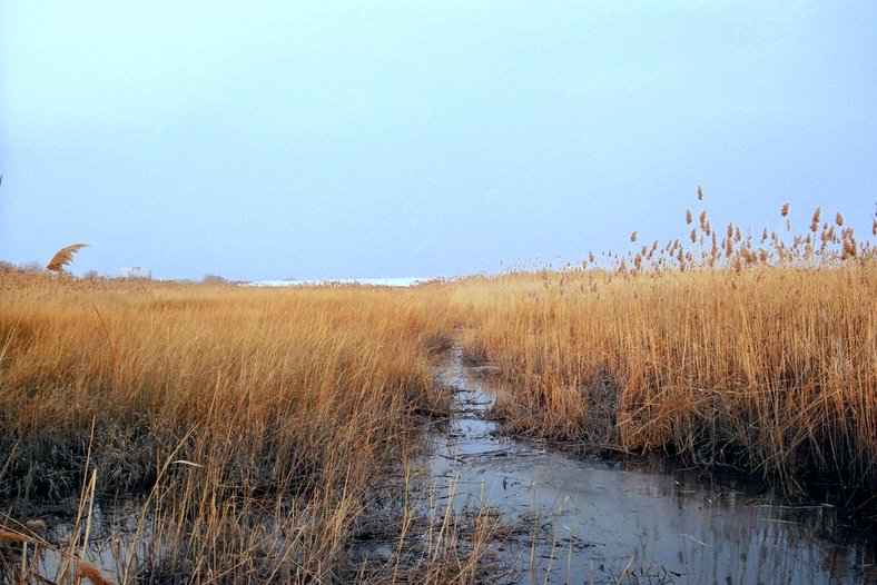
In ecology, a marsh is a wetland that is dominated by herbaceous plants rather than by woody plants.Keddy, P.A. 2010. Wetland Ecology: Principles and Conservation (2nd edition). Cambridge University Press, Cambridge, UK. 497 p More in general, the word can be used for any low-lying and seasonally waterlogged terrain. In Europe and in agricultural literature low-lying meadows that require draining and embanked polderlands are also referred to as marshes or marshland. Marshes can often be found at the edges of lakes and streams, where they form a transition between the aquatic and terrestrial ecosystems. They are often dominated by grasses, rushes or reeds. If woody plants are present they tend to be low-growing shrubs, and the marsh is sometimes called a carr. This form of vegetation is what differentiates marshes from other types of wetland such as swamps, which are dominated by trees, and mires, which are wetlands that have accumulated deposits of acidic peat. Marshes ... [...More Info...] [...Related Items...] OR: [Wikipedia] [Google] [Baidu] |
Borax
The BORAX Experiments were a series of safety experiments on boiling water nuclear reactors conducted by Argonne National Laboratory in the 1950s and 1960s at the National Reactor Testing Station in eastern Idaho.Light Water Reactor Technology Development Argonne National Laboratory They were performed using the five BORAX reactors that were designed and built by Argonne. BORAX-III was the first nuclear reactor to supply electrical power to the grid in the United States in 1955. Evolution of BORAX This series of tests began in 1952 with the construction of the BORAX-I |
Borate
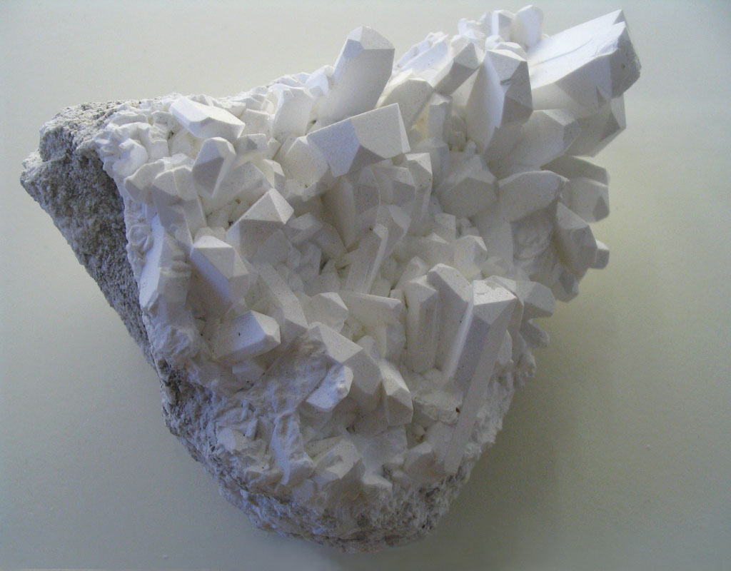
A borate is any of a range of boron oxyanions, anions containing boron and oxygen, such as orthoborate , metaborate , or tetraborate ; or any salt of such anions, such as sodium metaborate, and borax . The name also refers to esters of such anions, such as trimethyl borate . Natural occurrence Borate ions occur, alone or with other anions, in many borate and borosilicate minerals such as borax, boracite, ulexite (boronatrocalcite) and colemanite. Borates also occur in seawater, contributing to the absorption of low-frequency sound in seawater. Common borate salts include sodium metaborate (NaBO2) and borax. Borax is soluble in water, so mineral deposits only occur in places with very low rainfall. Extensive deposits were found in Death Valley and shipped with twenty-mule teams from 1883 to 1889. In 1925, deposits were found at Boron, California on the edge of the Mojave Desert. The Atacama Desert in Chile also contains mineable borate concentrations. Borates ... [...More Info...] [...Related Items...] OR: [Wikipedia] [Google] [Baidu] |
Miller Mountain (Nevada) deposit at nearby Teel's Marsh was located here.Hildebrand, GH. (1982) Borax Pioneer: Francis Marion Smith. San Diego: Howell-North Books. p 17
Miller Mountain is located in the Candelaria Hills of Mineral County, Nevada. "Borax" Smith's board-and-batten cabin where he lived when he discovered a rich borax The BORAX Experiments were a series of safety experiments on boiling water nuclear reactors conducted by Argonne National Laboratory in the 1950s and 1960s at the National Reactor Testing Station in eastern Idaho. References External links * Mountains of Nevada Mountains of the Great Basin[...More Info...] [...Related Items...] OR: [Wikipedia] [Google] [Baidu] |
Marietta, Nevada
Marietta, Nevada, was a town in Mineral County, Nevada. It is now a ghost town. History The area was extensively prospected by the well-known prospector F.M. "Borax" Smith, and Teel's Marsh near Marietta is often credited with providing Smith his start in the borax business (having earlier been a more common silver and gold prospector).Hildebrand, GH. (1982) Borax Pioneer: Francis Marion Smith. San Diego: Howell-North Books. However, before Smith came to the area it had been periodically mined for salt, which was used in the processing of ore in the Virginia City, Aurora, NV, and Bodie, CA mills. The use of camels to transport salt to Virginia City has often been quoted, although there is some dispute whether this actually took place. Mule teams were the more usual method of transporting the salt. F.M. Smith began serious scraping and processing of the borax and salt deposits starting in 1872, mainly from deposits on nearby Teels Marsh. Marietta was formally established ... [...More Info...] [...Related Items...] OR: [Wikipedia] [Google] [Baidu] |
Mono Lake
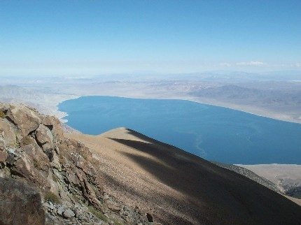
Mono Lake ( ) is a Salt lake, saline soda lake in Mono County, California, formed at least 760,000 years ago as a terminal lake in an endorheic basin. The lack of an outlet causes Hypersaline lake, high levels of salts to accumulate in the lake which make its water alkalinity, alkaline. The desert lake has an unusually productive ecosystem based on brine shrimp, which thrive in its waters, and provides critical habitat for two million annual migratory birds that feed on the shrimp and alkali flies (''Ephydra hians''). Historically, the native Kucadikadi, Kutzadika'a people ate the alkali flies' pupae, which live in the shallow waters around the edge of the lake. When the city of Los Angeles diverted water from the freshwater streams flowing into the lake, it lowered the lake level, which imperiled the Bird migration, migratory birds. The Mono Lake Committee formed in response and won a legal battle that forced Los Angeles to partially replenish the lake level. Geology Mono Lake ... [...More Info...] [...Related Items...] OR: [Wikipedia] [Google] [Baidu] |
Mineral County, Nevada
Mineral County is a County (United States), county located in the U.S. state of Nevada. As of the 2020 United States census, 2020 census, the population was 4,554, making it the fifth-least populous county in Nevada. Its county seat is Hawthorne, Nevada, Hawthorne. History Mineral County was carved out of Esmeralda County, Nevada, Esmeralda County in 1911 shortly after the county seat of Esmeralda was moved to Goldfield, Nevada, Goldfield in 1907. Its name came from the surrounding area, which is heavily mineralized. Hawthorne has always been its county seat. The county is listed as Nevada Historical Markers, Nevada Historical Marker 16. The marker is located on U.S. Highway 95 at Walker Lake (Nevada), Walker Lake. Geography According to the U.S. Census Bureau, the county has a total area of , of which is land and (1.6%) is water. The highest point in Mineral County is Mount Grant (Nevada), Mount Grant at . Major highways * Interstate 11 (Future) * U.S. Route 6 in Nevada ... [...More Info...] [...Related Items...] OR: [Wikipedia] [Google] [Baidu] |


