|
Featherstone
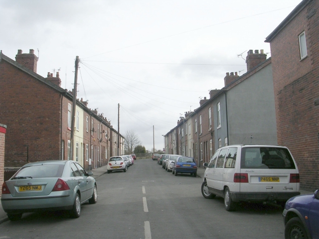
Featherstone is a town and civil parishes in England, civil parish in the City of Wakefield, West Yorkshire, England, two miles south-west of Pontefract. Historic counties of England, Historically part of the West Riding of Yorkshire, in 2011 it had a population of 15,244. Featherstone railway station is on the Pontefract Line. History Despite most population growth taking place around the Industrial Revolution, Featherstone traces its history back much further than this. The Domesday Book (1086) records "In Ferestane [Featherstone] and Prestone [Purston] and Arduwic [Hardwick] and Osele [Nostell], Ligulf had 16 carucates of land for geld, and 6 ploughs may be there." It is thought that a local public house, the Traveller's Rest, can trace its origins to the 17th century whilst the former Jubilee Hotel, a listed building now converted to apartments, once provided a resting place for wealthy Victorians and their horses. Standing stone's just outside the village indicate that th ... [...More Info...] [...Related Items...] OR: [Wikipedia] [Google] [Baidu] |
Featherstone Railway Station
Featherstone railway station serves the town of Featherstone in West Yorkshire, England. It lies on the Pontefract Line, operated by Northern Trains, east of Wakefield Kirkgate railway station. The current station was opened by West Yorkshire Metro on 12 May 1992 when the line between Wakefield and Pontefract was reopened. A previous station on the same site had been closed in January 1967 when passenger services between Wakefield and Pontefract were withdrawn as a result of the Beeching Axe. Services During Monday to Saturday, there are hourly train services to Leeds railway station, Leeds via Wakefield and to Knottingley railway station, Knottingley via Pontefract Monkhill. There are now trains on Sundays. These run two-hourly between Knottingley and Leeds via Wakefield. References External links Railway stations in Wakefield DfT Category F2 stations Former Lancashire and Yorkshire Railway stations Railway stations in Great Britain opened in 1848 Railway st ... [...More Info...] [...Related Items...] OR: [Wikipedia] [Google] [Baidu] |
Ackton
Ackton is a hamlet in the parish of Featherstone, in the Wakefield district of West Yorkshire, England. It is near Pontefract. In 1931 the parish had a population of 961. History Historically part of the West Riding of Yorkshire, the name "Ackton" means "oak-tree farmstead". It is formed from the Old Scandinavian word ''eik'' ("oak-tree") and the Old English word ''tūn'' ("farmstead, village, enclosure"). The first element of the name indicates the presence of settlers from Scandinavia in Ackton whose dialect influenced the name of the settlement. Ackton appeared as ''Aitone'' in the Domesday Book of 1086. The village is mentioned again, this time more correctly, as ''Aicton''. Ackton was a township in the parish of Featherstone, from 1866 Ackton was a civil parish In England, a civil parish is a type of administrative parish used for local government. It is a territorial designation which is the lowest tier of local government. Civil parishes can trace their orig ... [...More Info...] [...Related Items...] OR: [Wikipedia] [Google] [Baidu] |
West Yorkshire
West Yorkshire is a Metropolitan counties of England, metropolitan and Ceremonial counties of England, ceremonial county in the Yorkshire and the Humber region of England. It borders North Yorkshire to the north and east, South Yorkshire and Derbyshire to the south, Greater Manchester to the south-west, and Lancashire to the west. The city of Leeds is the largest settlement. The county has an area of and a population of 2.3 million, making it the fourth-largest ceremonial county by population. The centre of the county is urbanised, and contains the city of Leeds in the north-east, the city of Bradford in the north-west, Huddersfield in the south-west, and Wakefield in the south-east. The outer areas of the county are rural. For local government purposes the county comprises five metropolitan boroughs: City of Bradford, Bradford, Calderdale, Kirklees, City of Leeds, Leeds, and City of Wakefield, Wakefield, which collaborate through West Yorkshire Combined Authority. The cou ... [...More Info...] [...Related Items...] OR: [Wikipedia] [Google] [Baidu] |
City Of Wakefield
Wakefield, also known as the City of Wakefield, is a Local government in England, local government district with City status in the United Kingdom, city status and a metropolitan district in West Yorkshire, England. Wakefield, the largest settlement, is the administrative centre of the district. The population of the City of Wakefield at the 2011 Census was 325,837. The district includes the ''Five Towns'' of Castleford, Featherstone, Knottingley, Normanton, West Yorkshire, Normanton and Pontefract. Other towns include Hemsworth, Horbury, Ossett, South Elmsall and South Kirkby (also forms the civil parish of South Kirkby and Moorthorpe). The city and district are governed by Wakefield Council from the County Hall, Wakefield, County Hall. In 2010, Wakefield was named as the UK's third most musical city by PRS for Music. Economy The economic and physical condition of several of the former mining towns and villages in Wakefield District have started to improve due to the booming ... [...More Info...] [...Related Items...] OR: [Wikipedia] [Google] [Baidu] |
Wakefield
Wakefield is a cathedral city in West Yorkshire, England located on the River Calder. The city had a population of 109,766 in the 2021 census, up from 99,251 in the 2011 census. The city is the administrative centre of the wider Metropolitan Borough of Wakefield, which had a population of , the most populous district in England. It is part of the West Yorkshire Built-up Area and the Yorkshire and the Humber region. In 1888, it gained city status due to its cathedral. The city has a town hall and is home to the county hall, which was the former administrative centre of the city's county borough and metropolitan borough as well as county town for the West Riding of Yorkshire. The Battle of Wakefield took place in the Wars of the Roses, and the city was a Royalist stronghold in the Civil War. Wakefield became an important market town and centre for wool, exploiting its position on the navigable River Calder to become an inland port. In the 18th century, Wakefie ... [...More Info...] [...Related Items...] OR: [Wikipedia] [Google] [Baidu] |
Goole
Goole is a port town and civil parish on the River Ouse, Yorkshire, River Ouse in the East Riding of Yorkshire, England. The town's Historic counties of England, historic county is the West Riding of Yorkshire. At the 2021 United Kingdom census, 2021 UK census, Goole parish had a population of 20,475. It is north-east of Doncaster, south of York and west of Kingston upon Hull, Hull. The town has the United Kingdom's furthest inland port, being about from the North Sea. It is capable of handling nearly 2 million tonnes of cargo per year, making it one of the most important ports on England's east coast. Goole is twin towns and sister cities, twinned with Złotów in Poland. Goole was informally twinned with Gibraltar in the 1960s; at that time, Gibraltar Court was named in Goole and Goole Court was named in Gibraltar. History Etymology Goole is first attested in 1306, as ''Gull Lewth'' (where ''lewth'' means 'barn', from Old Norse ''hlaða''), and then 1362 as ''Gulle ... [...More Info...] [...Related Items...] OR: [Wikipedia] [Google] [Baidu] |
Normanton And Hemsworth (UK Parliament Constituency)
Normanton and Hemsworth is a constituency of the House of Commons in the UK Parliament. Created as a result of the 2023 Periodic Review of Westminster constituencies, it was first contested at the 2024 general election. It is currently represented by Jon Trickett of the Labour Party, who previously represented the predecessor constituency of Hemsworth from 1996 to 2024. History The constituency was formed primarily from the existing Hemsworth constituency - excluding the Wakefield South ward, with the addition of Normanton from Normanton, Pontefract and Castleford (renamed Pontefract, Castleford and Knottingley). Boundaries The constituency comprises the following wards of the City of Wakefield (as they existed on 1 December 2020): * Ackworth, North Elmsall and Upton * Crofton, Ryhill and Walton * Featherstone * Hemsworth * Normanton * South Elmsall and South Kirkby Members of Parliament Elections Elections in the 2020s Elections in the 201 ... [...More Info...] [...Related Items...] OR: [Wikipedia] [Google] [Baidu] |
Pontefract
Pontefract is a historic market town in the City of Wakefield, a metropolitan district in West Yorkshire, England. It lies to the east of Wakefield and south of Castleford. Historically part of the West Riding of Yorkshire, it is one of the towns in the City of Wakefield district and had a population of 30,881 at the 2011 Census. Pontefract's motto is , Latin for "After the death of the father, support the son", a reference to the town's Royalist sympathies in the English Civil War. Small villages and settlements in the immediate area include Stapleton. Etymology At the end of the 11th century, the modern township of Pontefract consisted of two distinct localities, Tanshelf and Kirkby.Eric Houlder, Ancient Roots North: When Pontefract Stood on the Great North Road, (Pontefract: Pontefract Groups Together, 2012) p.7. The 11th-century historian Orderic Vitalis recorded that, in 1069, William the Conqueror travelled across Yorkshire to put down an uprising which had sa ... [...More Info...] [...Related Items...] OR: [Wikipedia] [Google] [Baidu] |
West Riding Of Yorkshire
The West Riding of Yorkshire was one of three historic subdivisions of Yorkshire, England. From 1889 to 1974 the riding was an administrative county named County of York, West Riding. The Lord Lieutenant of the West Riding of Yorkshire, lieutenancy at that time included the city of York and as such was named "West Riding of the County of York and the County of the City of York". The riding ceased to be used for administrative purposes in 1974, when England's local government was reformed. Contemporary local government boundaries in Yorkshire largely do not follow those of the riding. All of South Yorkshire (except Finningley) and West Yorkshire were historically within its boundaries, as were the south-western areas of North Yorkshire (including Ripon), the Sedbergh area of Cumbria, the Barnoldswick and Slaidburn areas of Lancashire, the Saddleworth area of Greater Manchester and the part of the East Riding of Yorkshire around Goole and southwest of the River Ouse, Yorkshire, ... [...More Info...] [...Related Items...] OR: [Wikipedia] [Google] [Baidu] |
Town Hall
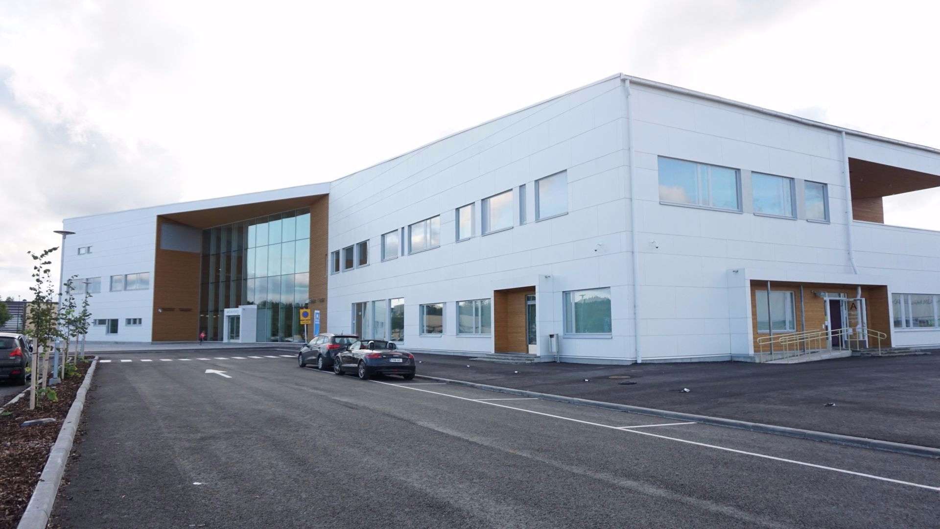
In local government, a city hall, town hall, civic centre (in the UK or Australia), guildhall, or municipal hall (in the Philippines) is the chief administrative building of a city, town, or other municipality. It usually houses the city or town council and at least some other arms of the local government. It also often functions as the office of the mayor (or other executive), if the relevant municipality has such an officer. In large cities, the local government is often administratively expansive, and the city hall may bear more resemblance to a municipal capitol building. By convention, until the middle of the 19th century, a single large open chamber (or "hall") formed an integral part of the building housing the council and such other organs of government as supported it. The hall may be used for council meetings and other significant events. This large chamber, the "town hall" (and its later variant "city hall") became synonymous with the whole building, and, synec ... [...More Info...] [...Related Items...] OR: [Wikipedia] [Google] [Baidu] |
Community Centre
A community centre, community center, or community hall is a public location where members of a community gather for group activities, social support, public information, and other purposes. They may be open for the whole community or for a specialized subgroup within the greater community. Community centres can be religious in nature, such as Christian churches, Islamic mosques, Jewish synagogues, Hindu temples, or Buddhist temples; though they can also be secular and in some cases government-run, such as youth clubs or Leisure centres. Uses The community centres are usually used for: * Celebrations, * Public meetings of the citizens on various issues, * Organising meetings (where politicians or other official leaders come to meet the citizens and ask for their opinions, support or votes (" election campaigning" in democracies, other kinds of requests in non-democracies)), * Volunteer activities, * Organising parties, weddings, * Organising local non-government activitie ... [...More Info...] [...Related Items...] OR: [Wikipedia] [Google] [Baidu] |
National Coal Board
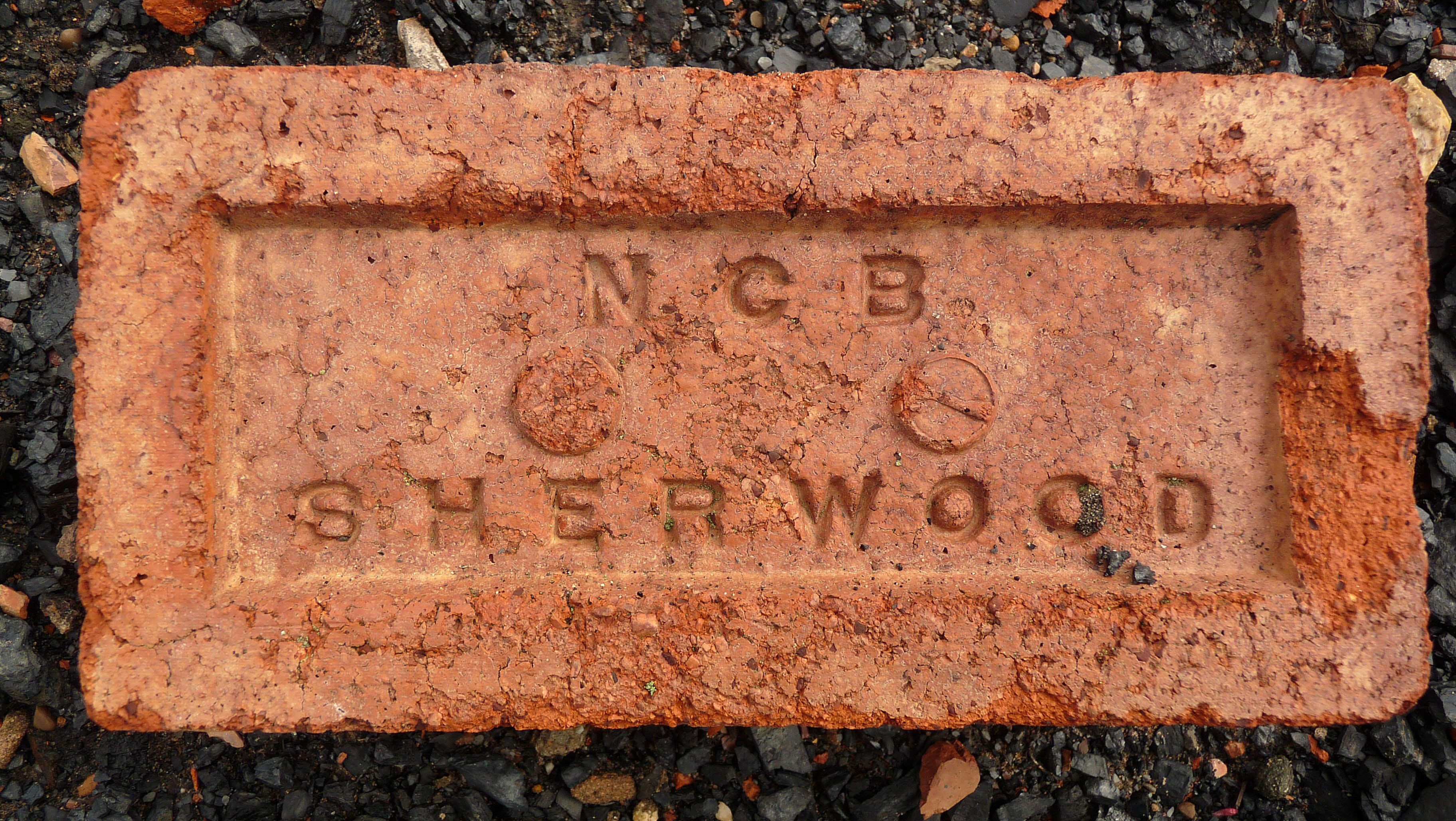
The National Coal Board (NCB) was the statutory corporation created to run the nationalised coal mining industry in the United Kingdom. Set up under the Coal Industry Nationalisation Act 1946, it took over the United Kingdom's collieries on "vesting day", 1 January 1947. In 1987, the NCB was renamed the British Coal Corporation, and its assets were subsequently privatised. Background Collieries were taken under government control during the World War I, First and World War II, Second World Wars. The Sankey Commission in 1919 gave R. H. Tawney, Sidney Webb and Sir Leo Chiozza Money the opportunity to advocate nationalisation, but it was rejected. Coal reserves were nationalised during the war in 1942 and placed under the control of the Coal Commission (United Kingdom), Coal Commission, but the mining industry remained in private hands. At the time, many coal companies were small, although some consolidation had taken place in the years before the war. Formation and organisat ... [...More Info...] [...Related Items...] OR: [Wikipedia] [Google] [Baidu] |


