|
European Council Of Spatial Planners
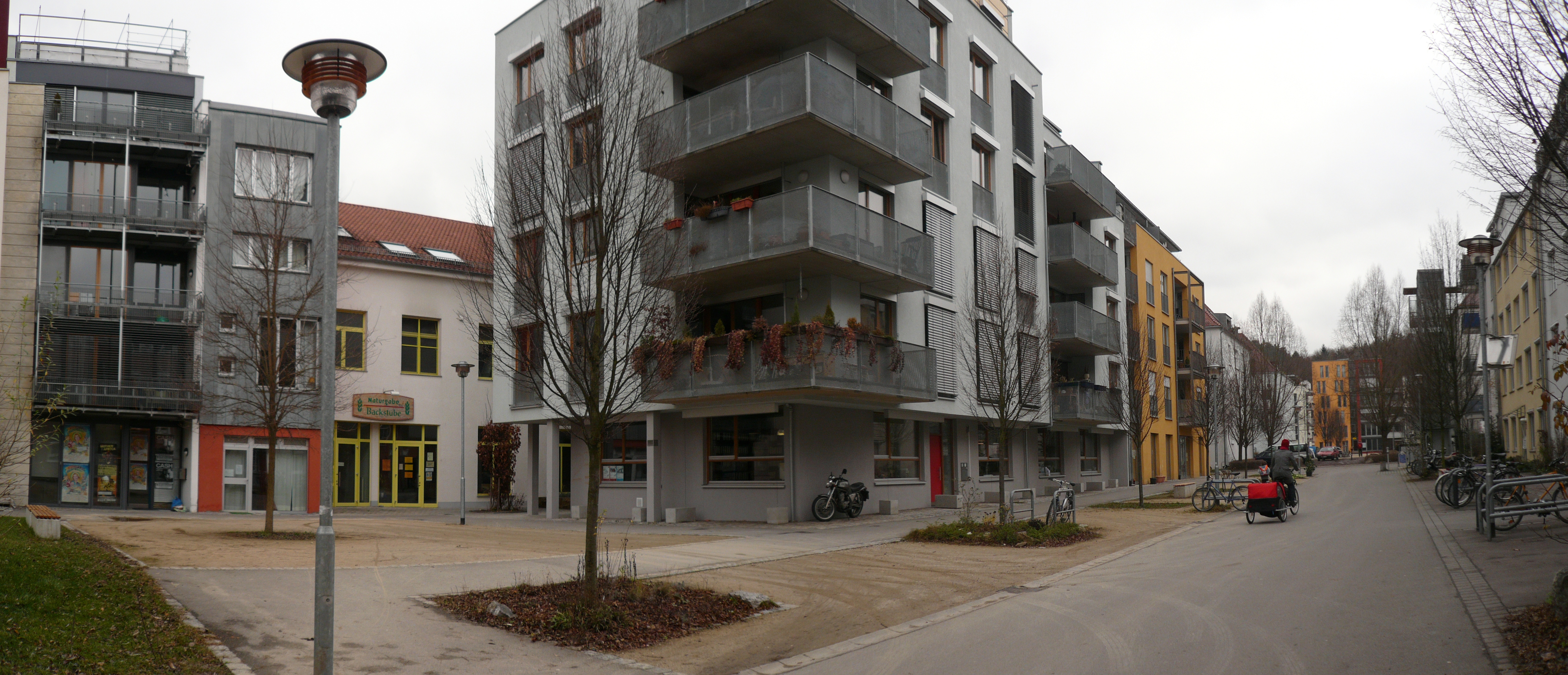
The European Council of Spatial Planners (ECTP-CEU) is the umbrella organisation for spatial planning institutes in Europe. It was founded in 1985 (when it was called the European Council of Town Planners, hence its initials in English). In June 2014 it had 32 members in 24 European countries. When they join, new member organisations sign an International Agreement on the nature of spatial planning, the responsibilities of planners, common educational standards and a code of conduct. It runs an Awards Scheme every two years, giving prizes for outstanding work in creating attractive places. Current work of ECTP-CEU includes: * Dissemination of the Charter of European Planning – a manifesto for planning European cities in the 21st century * The design of a Vision enhancing the quality and efficiency of cities and urban life in Europe * The production of a guide to spatial planning and territorial cohesion * Publishing the proceedings of conferences on European spatial development a ... [...More Info...] [...Related Items...] OR: [Wikipedia] [Google] [Baidu] |
Spatial Planning
Spatial planning mediates between the respective claims on space of the state, market, and community. In so doing, three different mechanisms of involving stakeholders, integrating sectoral policies and promoting development projects mark the three schools of transformative strategy formulation, innovation action and performance in spatial planning Spatial planning systems refer to the methods and approaches used by the public and private sectors to influence the distribution of people and activities in different geographic areas. Spatial planning coordinates practices and policies that shape spatial organization. Spatial planning is synonymous with the practices of urban planning in the United States but at larger scales, and the term is often used in reference to planning efforts in European countries. Discrete professional disciplines which involve spatial planning include land use planning, land use, urban planning, urban, regional planning, regional, transport planning, tra ... [...More Info...] [...Related Items...] OR: [Wikipedia] [Google] [Baidu] |
Caterham-on-the-Hill
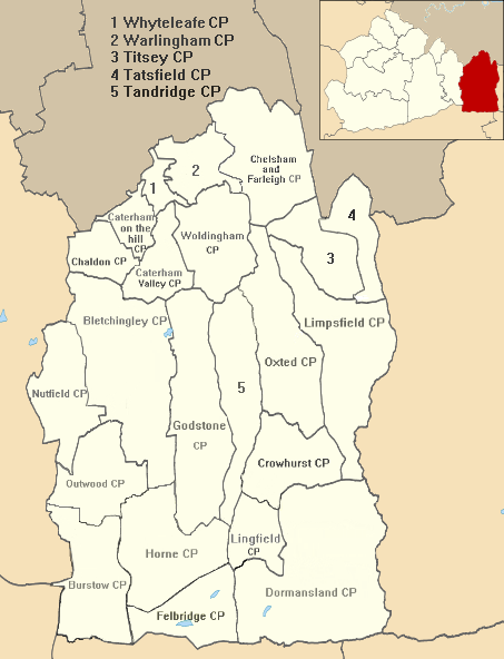
Caterham () is a town in the Tandridge (district), Tandridge district of Surrey, England. The town is administratively divided into two: Caterham on the Hill, and Caterham Valley, which includes the main town centre in the middle of a dry valley but rises to equal heights to the south. The town lies close to the A22 road, A22, from Guildford and south of Croydon, in an upper valley cleft into the dip slope of the North Downs. Caterham on the Hill is above the valley to the west. History An encampment on the top of White Hill, in Caterham Valley south of Caterham School, between Bletchingley and the town centre is called ''The Cardinal's Cap'' which was excavated and inspected in designating it a Scheduled monument, Scheduled Ancient Monument. With close ramparts forming two or more lines, archaeology, archaeologists describe the fort as a "large Hill fort#Types, multivallate hillfort at War Coppice Camp". The town lies within the Anglo-Saxons, Anglo-Saxon feudal system, ... [...More Info...] [...Related Items...] OR: [Wikipedia] [Google] [Baidu] |


