|
Esso (village)
Esso () is a village in Kamchatka Krai, Russia. It is the administrative centre of Bystrinsky District. It has been described as one of the most scenic villages in Russia. Geography Esso is located in the central part of the Kamchatka Peninsula. It is roughly from Petropavlovsk-Kamchatsky, and roughly from Moscow. It is located at the convergence of the Bystraya and Uksichan Rivers. Attractions Esso has multiple notable sites, making it attractive to tourists. These include hot springs near the edge of the village, with temperatures often reaching . Thermal springs also heat an outdoor swimming pool in the central part of the village. In addition to its hot springs, Esso is home to Kamchatka's only ethnographic museum. The museum documents the traditions and architecture of the indigenous Even and Koryak peoples, as well as those of Russian and Cossack settlers. Climate Esso's climate can be classified as subarctic, or ''Dfc'' under the Köppen climate classification ... [...More Info...] [...Related Items...] OR: [Wikipedia] [Google] [Baidu] |
Kamchatka Krai
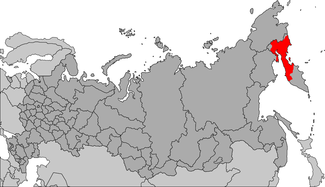
Kamchatka Krai (, ) is a federal subjects of Russia, federal subject of Russia (a krai), situated in the Russian Far East. It is administratively part of the Far Eastern Federal District. Its administrative center and largest types of inhabited localities in Russia, city is Petropavlovsk-Kamchatsky (), home to over half of its population of 291,705 (2021 Russian census, 2021 census). Kamchatka Krai was formed on 1 July 2007, as a result of the merger of Kamchatka Oblast and Koryak Okrug, Koryak Autonomous Okrug, based on the voting in a referendum on the issue on 23 October 2005. The okrug retains the status of a special administrative division of the krai, under the name of Koryak Okrug. The Kamchatka Peninsula forms the majority of the krai's territory, separating the Sea of Okhotsk and the Bering Sea in the Pacific Ocean. The remainder is formed by a minor northern mainland portion, Karaginsky Island, and the Commander Islands in the Bering Sea. It is bordered by Magada ... [...More Info...] [...Related Items...] OR: [Wikipedia] [Google] [Baidu] |
Russia
Russia, or the Russian Federation, is a country spanning Eastern Europe and North Asia. It is the list of countries and dependencies by area, largest country in the world, and extends across Time in Russia, eleven time zones, sharing Borders of Russia, land borders with fourteen countries. Russia is the List of European countries by population, most populous country in Europe and the List of countries and dependencies by population, ninth-most populous country in the world. It is a Urbanization by sovereign state, highly urbanised country, with sixteen of its urban areas having more than 1 million inhabitants. Moscow, the List of metropolitan areas in Europe, most populous metropolitan area in Europe, is the capital and List of cities and towns in Russia by population, largest city of Russia, while Saint Petersburg is its second-largest city and Society and culture in Saint Petersburg, cultural centre. Human settlement on the territory of modern Russia dates back to the ... [...More Info...] [...Related Items...] OR: [Wikipedia] [Google] [Baidu] |
Bystrinsky District
Bystrinsky District () is an administrativeLaw #46 and municipalLaw #238 district (raion) of Kamchatka Krai, Russia, one of the eleven in the krai. It is located in the southern central part of the krai. The area of the district is . Its administrative center is the rural locality (a '' selo'') of Esso. Population: The population of Esso accounts for 78.6% of the district's total population. Climate Bystrinsky District has a subarctic climate (Köppen ''Dfc''). Although the winters are not so cold as in interior Siberia, they are around colder than on the Pacific coast of Kamchatka at the same latitude, so that discontinuous permafrost underlays the region. Precipitation, however, is much less than on the Pacific coast as the moist winds from the northern side of the Aleutian Low dry out before reaching the region. Demographics Ethnic composition (2010): * Russians – 50.4% * Evens – 34.5% * Koryaks – 4.9% * Ukrainians – 2.5% * Itelmens – 2.4% * Tatars – 1.4% * Oth ... [...More Info...] [...Related Items...] OR: [Wikipedia] [Google] [Baidu] |
Kamchatka Peninsula
The Kamchatka Peninsula (, ) is a peninsula in the Russian Far East, with an area of about . The Pacific Ocean and the Sea of Okhotsk make up the peninsula's eastern and western coastlines, respectively. Immediately offshore along the Pacific coast of the peninsula runs the Kuril–Kamchatka Trench. The Kamchatka Peninsula, the Commander Islands, and Karaginsky Island constitute Kamchatka Krai of the Russian Federation. The majority of the 322,079 inhabitants are ethnic Russians, with about 13,000 being Koryaks (2014). More than half of the population lives in Petropavlovsk-Kamchatsky (179,526 in 2010) and nearby Yelizovo (38,980). The Kamchatka Peninsula contains the volcanoes of Kamchatka, a UNESCO World Heritage Site, that form part of the Ring of Fire. Geography Politically, the peninsula forms part of Kamchatka Krai. The southern tip is called Cape Lopatka. (Lopatka is Russian for spade.) The circular bay to the north of this on the Pacific side is Ava ... [...More Info...] [...Related Items...] OR: [Wikipedia] [Google] [Baidu] |
Petropavlovsk-Kamchatsky
Petropavlovsk-Kamchatsky (, ) is a city and the administrative center of Kamchatka Krai, Russia. It is located in the Far East of the country and lies along the coast of Avacha Bay by the Pacific Ocean, nearby Khalaktyrskoye Lake. As of the 2021 census, it had a population of 164,900. The city is widely known simply as ''Petropavlovsk'' (literally "city of Peter and Paul"). The adjective ''Kamchatsky'' ("Kamchatkan") was added to the official name in 1924. History Origins Cossack units visited the area from 1697. The explorer and navigator Captain Vitus Bering (a Danish-born Russian) is considered to have founded the city in 1740, although navigator had laid the foundation a few months earlier. Bering reached Avacha Bay in late 1740 and in his capacity as the superior officer, named the new settlement "Petropavlovsk" (Peter and Paul) after his two ships, the ''Saint Peter'' and the '' Saint Paul'', which had been built in Okhotsk for his second expedition (1733–42). The ... [...More Info...] [...Related Items...] OR: [Wikipedia] [Google] [Baidu] |
Moscow
Moscow is the Capital city, capital and List of cities and towns in Russia by population, largest city of Russia, standing on the Moskva (river), Moskva River in Central Russia. It has a population estimated at over 13 million residents within the city limits, over 19.1 million residents in the urban area, and over 21.5 million residents in Moscow metropolitan area, its metropolitan area. The city covers an area of , while the urban area covers , and the metropolitan area covers over . Moscow is among the world's List of largest cities, largest cities, being the List of European cities by population within city limits, most populous city entirely in Europe, the largest List of urban areas in Europe, urban and List of metropolitan areas in Europe, metropolitan area in Europe, and the largest city by land area on the European continent. First documented in 1147, Moscow became the capital of the Grand Principality of Moscow, which led the unification of the Russian lan ... [...More Info...] [...Related Items...] OR: [Wikipedia] [Google] [Baidu] |
Evens
The Evens /əˈvɛn/ ( Even: эвэн; pl. эвэсэл, ''evesel'' in Even and эвены, ''eveny'' in Russian; formerly called ''Lamuts'') are a people in Siberia and the Russian Far East. They live in regions of the Magadan Oblast and Kamchatka Krai and northern parts of Sakha east of the Lena River, although they are a nomadic people. According to the 2002 census, there were 19,071 Evens in Russia. According to the 2010 census, there were 22,383 Evens in Russia. They speak their own language called Even, one of the Tungusic languages; it is heavily influenced by their lifestyle and reindeer herding. It is also closely related to the language of their neighbors, the Evenks. The Evens are close to the Evenks by their origins and culture, having migrated with them from central China over 10,000 years ago. Officially, they have been considered to be of Orthodox faith since the 19th century, though the Evens have retained some pre-Christian practices, such as shamanism. ... [...More Info...] [...Related Items...] OR: [Wikipedia] [Google] [Baidu] |
Koryaks
Koryaks () are an Indigenous people#North Asia, Indigenous people of the Russian Far East who live immediately north of the Kamchatka Peninsula in Kamchatka Krai and inhabit the coastlands of the Bering Sea. The cultural borders of the Koryaks include Tigilsky District, Tigilsk in the south and the Anadyr (river), Anadyr basin in the north. The Koryaks are culturally similar to the Chukchis of extreme northeast Siberia. The Koryak language and Alutor language, Alutor (which is often regarded as a dialect of Koryak), are linguistically close to the Chukchi language. All of these languages are members of the Chukotko-Kamchatkan languages, Chukotko-Kamchatkan Language families and languages, language family. They are more distantly related to the Itelmens on the Kamchatka Peninsula. All of these peoples and other, unrelated minorities in and around Kamchatka are known collectively as Kamchadals. Neighbors of the Koryaks include the Evens to the west, the Alutor to the south (on the ... [...More Info...] [...Related Items...] OR: [Wikipedia] [Google] [Baidu] |
Cossacks
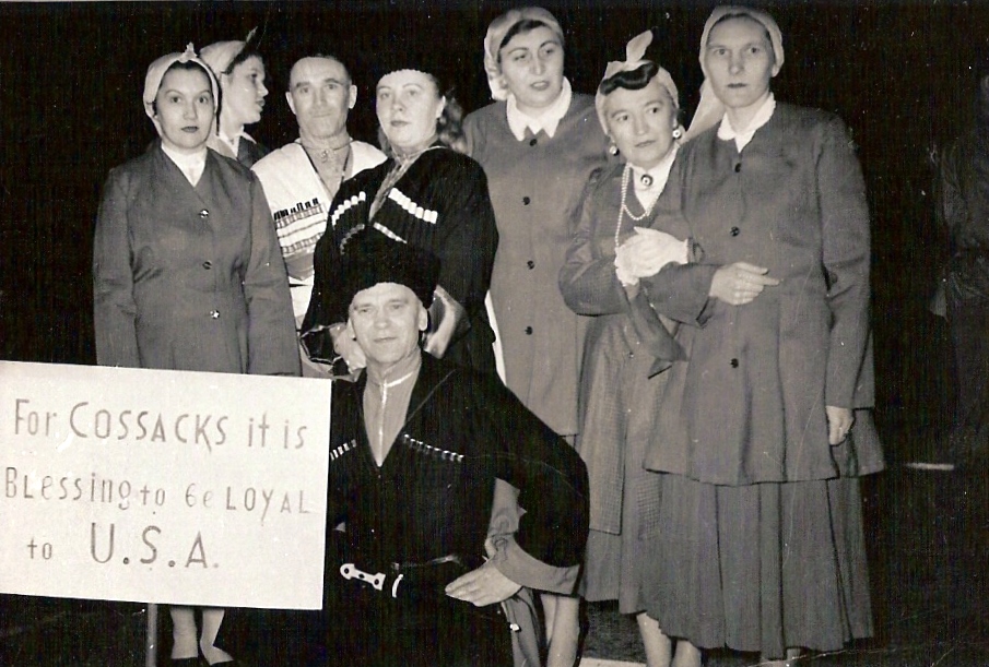
The Cossacks are a predominantly East Slavic languages, East Slavic Eastern Christian people originating in the Pontic–Caspian steppe of eastern Ukraine and southern Russia. Cossacks played an important role in defending the southern borders of Ukraine and Russia, Cossack raids, countering the Crimean-Nogai slave raids in Eastern Europe, Crimean-Nogai raids, alongside economically developing steppes, steppe regions north of the Black Sea and around the Azov Sea. Historically, they were a semi-nomadic and semi-militarized people, who, while under the nominal suzerainty of various Eastern European states at the time, were allowed a great degree of self-governance in exchange for military service. Although numerous linguistic and religious groups came together to form the Cossacks, most of them coalesced and became East Slavic languages, East Slavic–speaking Eastern Orthodox Church, Orthodox Christians. The rulers of the Polish–Lithuanian Commonwealth and Russian Empire en ... [...More Info...] [...Related Items...] OR: [Wikipedia] [Google] [Baidu] |
Subarctic Climate
The subarctic climate (also called subpolar climate, or boreal climate) is a continental climate with long, cold (often very cold) winters, and short, warm to cool summers. It is found on large landmasses, often away from the moderating effects of an ocean, generally at latitudes from 50°N to 70°N, poleward of the humid continental climates. Like other Class D climates, they are rare in the Southern Hemisphere, only found at some isolated highland elevations. Subarctic or boreal climates are the source regions for the cold air that affects temperate latitudes to the south in winter. These climates represent Köppen climate classification ''Dfc'', ''Dwc'', ''Dsc'', ''Dfd'', ''Dwd'' and ''Dsd''. Description This type of climate offers some of the most extreme seasonal temperature variations found on the planet: in winter, temperatures can drop to below and in summer, the temperature may exceed . However, the summers are short; no more than three months of the year (but at least on ... [...More Info...] [...Related Items...] OR: [Wikipedia] [Google] [Baidu] |
Köppen Climate Classification
The Köppen climate classification divides Earth climates into five main climate groups, with each group being divided based on patterns of seasonal precipitation and temperature. The five main groups are ''A'' (tropical), ''B'' (arid), ''C'' (temperate), ''D'' (continental), and ''E'' (polar). Each group and subgroup is represented by a letter. All climates are assigned a main group (the first letter). All climates except for those in the ''E'' group are assigned a seasonal precipitation subgroup (the second letter). For example, ''Af'' indicates a tropical rainforest climate. The system assigns a temperature subgroup for all groups other than those in the ''A'' group, indicated by the third letter for climates in ''B'', ''C'', ''D'', and the second letter for climates in ''E''. Other examples include: ''Cfb'' indicating an oceanic climate with warm summers as indicated by the ending ''b.'', while ''Dwb'' indicates a semi-Monsoon continental climate, monsoonal continental climate ... [...More Info...] [...Related Items...] OR: [Wikipedia] [Google] [Baidu] |


