|
Essex Way
The Essex Way is a waymarked long-distance footpath long, along footpaths and roads in Essex, England. The trail starts in Epping in the southwest, crosses Dedham Vale and Constable country to finish at the port of Harwich on the Stour estuary. It leads through ancient woodlands, open farmland, tree-lined river valleys and leafy green lanes, unveiling historic towns and villages along the way. The route is waymarked by Essex Way plaques and direction arrows. The original CPRE signs were dark green, but most of these have now been replaced with Essex County Council plaques depicting two poppies on a white background. These are attached to fingerposts, stiles, gates, footbridges and posts. The waymarks, together with the maps in the guidebook, make the walk easy to follow. The guidebook illustrates points of interest along the way and includes an accommodation guide for the whole route. History The Essex Way was conceived as a result of a competition organised by the CPRE ... [...More Info...] [...Related Items...] OR: [Wikipedia] [Google] [Baidu] |
River Stour, Suffolk
The River Stour () is a river in East Anglia, England. It is long and forms most of the county boundary between Suffolk to the north, and Essex to the south. It rises in eastern Cambridgeshire, passes to the east of Haverhill, through Cavendish, Bures, Sudbury, Nayland, Stratford St Mary, Dedham and flows through the Dedham Vale Area of Outstanding Natural Beauty. It becomes tidal just before Manningtree in Essex and joins the North Sea at Harwich. Etymology and usage The name is of ambiguous and disputed origin. On one theory, the name ''Stour'' derives from the Celtic ''sturr'' meaning "strong". However, the river-name ''Stour'', common in England, does not occur at all in Wales; Crawford noted two tributaries of the Po River near Turin, spelled ''Stura''. In Germany the ''Stoer'' is a tributary of the River Elbe. According to ''Brewer's Britain and Ireland'' the ''Stour'' is pronounced differently in different cases: the Kentish and East Anglian Stours rhyme with ''tou ... [...More Info...] [...Related Items...] OR: [Wikipedia] [Google] [Baidu] |
Ancient Woodland
In the United Kingdom, an ancient woodland is a woodland that has existed continuously since 1600 or before in England, Wales and Northern Ireland (or 1750 in Scotland). Planting of woodland was uncommon before those dates, so a wood present in 1600 is likely to have developed naturally. In most ancient woods, the trees and shrubs have been cut down periodically as part of the management cycle. Provided that the area has remained as woodland, the stand is still considered ancient. Since it may have been cut over many times in the past, ancient woodland does not necessarily contain very old trees. For many species of animal and plant, ancient woodland sites provide the sole habitat, and for many others, conditions on these sites are much more suitable than those on other sites. Ancient woodland in the UK, like rainforest in the tropics, is home to rare and threatened species. For these reasons ancient woodland is often described as an irreplaceable resource, or 'critical natural c ... [...More Info...] [...Related Items...] OR: [Wikipedia] [Google] [Baidu] |
Long-distance Footpaths In England
Long distance or Long-distance may refer to: *Long-distance calling *Long-distance operator *Long-distance relationship *Long-distance train *Long-distance anchor pylon, see dead-end tower Footpaths *Long-distance trail *European long-distance paths * Long Distance Routes, official term for footpaths in Scotland * List of long-distance footpaths *Long-distance footpaths in the United Kingdom *Long-distance trails in the United States * Long-distance trails in the Republic of Ireland Arts and media * ''Long Distance'' (Ivy album), 2001 * ''Long Distance'' (Runrig album), 1996 * "Long Distance" (song), a 2008 song by Brandy Norwood * "Long Distance" (Melanie Amaro song), 2012 *"Long Distance", by 8stops7 from the album ''Birth of a Cynic'' * Long Distance (film), a 1961 Australian television film *''Long Distance'', a 2015 IDW Publishing comics series Sports * Long-distance riding *Long-distance running *Long-distance swimming See also *" Long Distance Call", an episode ... [...More Info...] [...Related Items...] OR: [Wikipedia] [Google] [Baidu] |
Ordnance Survey
Ordnance Survey (OS) is the national mapping agency for Great Britain. The agency's name indicates its original military purpose (see ordnance and surveying), which was to map Scotland in the wake of the Jacobite rising of 1745. There was also a more general and nationwide need in light of the potential threat of invasion during the Napoleonic Wars. Since 1 April 2015 Ordnance Survey has operated as Ordnance Survey Ltd, a government-owned company, 100% in public ownership. The Ordnance Survey Board remains accountable to the Secretary of State for Business, Energy and Industrial Strategy. It was also a member of the Public Data Group. Paper maps for walkers represent only 5% of the company's annual revenue. It produces digital map data, online route planning and sharing services and mobile apps, plus many other location-based products for business, government and consumers. Ordnance Survey mapping is usually classified as either " large-scale" (in other words, more detail ... [...More Info...] [...Related Items...] OR: [Wikipedia] [Google] [Baidu] |
Coggeshall
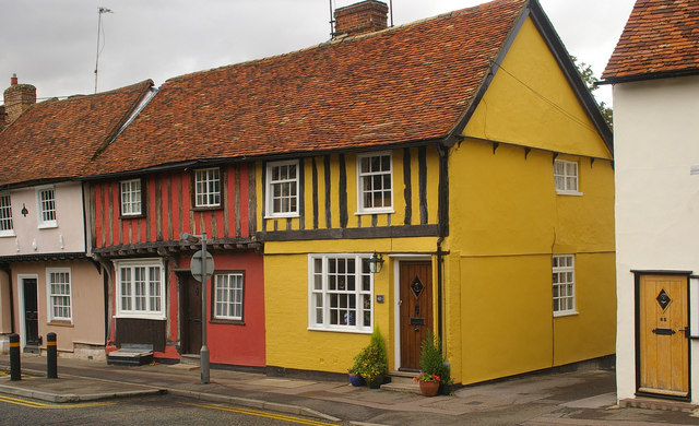
Coggeshall ( or ) is a small town in Essex, England, between Colchester and Braintree on the Roman road Stane Street and the River Blackwater. It has almost 300 listed buildings and a market whose charter was granted in 1256 by Henry III. Etymology The meaning of the name Coggeshall is much debated. Different pronunciations and spellings have been used throughout its history and many theories as to the name's origin have arisen. The earliest mention of the name is in a grant from around 1040 where it is called ''Coggashael''. The Domesday Book from 1086 addresses the town as ''Cogheshal'' and it is mentioned elsewhere as ''Cogshall, Coxal'' and ''Gogshall''. Beaumont brought together several theories in his 1890 book ''A History of Coggeshall, in Essex''. #Weever 1631 wrote about a monument found on "Coccillway", thought that Coccill was a lord of the area in Roman days and a corruption of the name led to Coggeshall. #Dunkin thought that it was a concatenation of two Celtic ... [...More Info...] [...Related Items...] OR: [Wikipedia] [Google] [Baidu] |
Saffron Walden
Saffron Walden is a market town in the Uttlesford district of Essex, England, north of Bishop's Stortford, south of Cambridge and north of London. It retains a rural appearance and some buildings of the medieval period. The population was 15,504 at the 2011 census. History Archaeological evidence suggests continuous settlement on or near the site of Saffron Walden from at least the Neolithic period. It is believed that a small Romano-British settlement and fort – possibly in the area round Abbey Lane – existed as an outpost of the much larger settlement of Cestreforda to the north. After the Norman invasion of 1066, a stone church was built. Walden Castle, dating from about 1140, may have been built on pre-existing fortifications. A priory, Walden Abbey, was founded under the patronage of Geoffrey de Mandeville, 1st Earl of Essex about 1136, on the site of what is now Audley End House. The abbey was separated from Walden by Holywell Field. After the dissolution of the m ... [...More Info...] [...Related Items...] OR: [Wikipedia] [Google] [Baidu] |
Southend-on-Sea
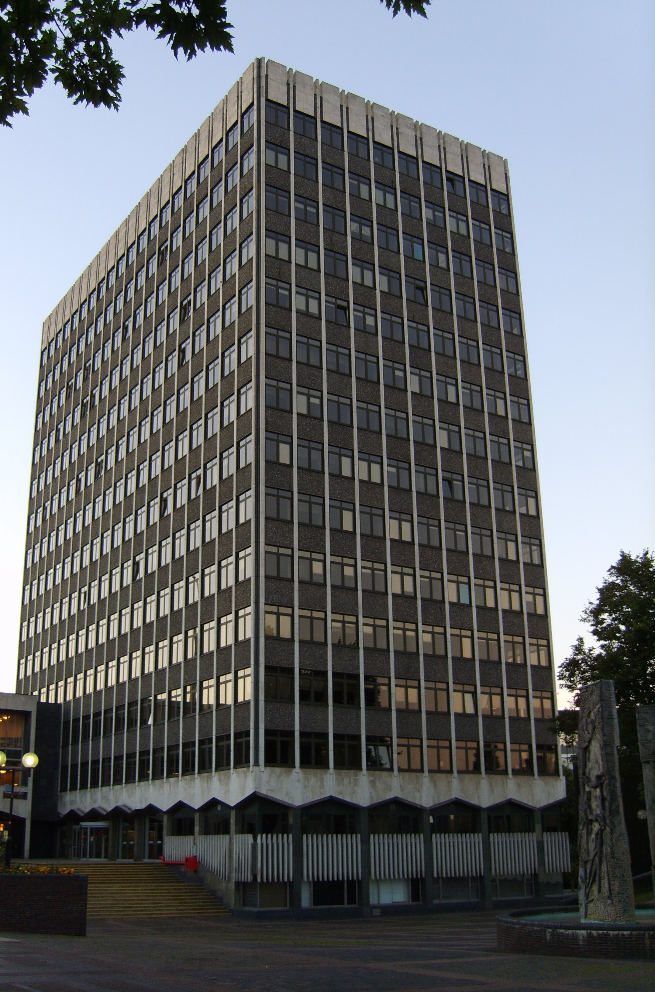
Southend-on-Sea (), commonly referred to as Southend (), is a coastal city and unitary authorities of England, unitary authority area with Borough status in the United Kingdom, borough status in southeastern Essex, England. It lies on the north side of the Thames Estuary, east of central London. It is bordered to the north by Rochford (district), Rochford and to the west by Castle Point. It is home to the longest pleasure pier in the world, Southend Pier. London Southend Airport is located north of the city centre. Southend-on-Sea originally consisted of a few poor fishermen's huts and farms at the southern end of the village of Prittlewell. In the 1790s, the first buildings around what was to become the High Street of Southend were completed. In the 19th century, Southend's status of a seaside resort grew after a visit from Princess Caroline of Brunswick, and Southend Pier was constructed. From the 1960s onwards, the city declined as a holiday destination. Southend redeveloped ... [...More Info...] [...Related Items...] OR: [Wikipedia] [Google] [Baidu] |
Bradwell-on-Sea
Bradwell-on-Sea is a village and civil parish in Essex, England. The village is on the Dengie peninsula. It is located about north-northeast of Southminster and is east from the county town of Chelmsford. The village is in the District of Maldon in the parliamentary constituency of Maldon whose boundaries were last varied at the 2010 general election. It has a population of 863, a decline from 877 in the previous census. Retrieved 2009-12-17 History Bradwell-on-Sea was a |
Chipping Ongar
Chipping Ongar () is a market town and former civil parish, now in the parish of Ongar, in the Epping Forest District of the county of Essex, England. It is located east of Epping, southeast of Harlow and northwest of Brentwood. In 2020 the built-up area had an estimated population of 6420. In 1961 the parish had a population of 1673. Origin of the name The name "Ongar" means "grass land" (akin to the German word Anger). "Chipping" is from Old English ''cēping'', "a market, a market-place", akin to Danish "købing" and Swedish "köping"; the same element is found in other towns such as Chipping Norton, Chipping Sodbury, Chipping Barnet and Chipping (now High) Wycombe. History Ongar was an important market town in the Medieval era, at the centre of a hundred and has the remains of a Norman castle (see below). The Church of England parish church, St Martin's, dates from the 11th century and shows signs of Norman work. A small window in the chancel is believed to indic ... [...More Info...] [...Related Items...] OR: [Wikipedia] [Google] [Baidu] |
Campaign To Protect Rural England
CPRE, The Countryside Charity, formerly known by names such as the ''Council for the Preservation of Rural England'' and the ''Council for the Protection of Rural England'', is a charity in England with over 40,000 members and supporters. Formed in 1926 by Patrick Abercrombie to limit urban sprawl and ribbon development, the CPRE claims to be one of the longest running environmental groups in the UK. CPRE campaigns for a "sustainable future" for the English countryside. They state it is "a vital but undervalued environmental, economic and social asset to the nation." They aim to "highlight threats and promote positive solutions." They campaign using their own research to lobby the public and all levels of government. History CPRE was formed following the publication of “The Preservation of Rural England” by Sir Patrick Abercrombie in 1926. Abercrombie became its Honorary Secretary. The inaugural meeting was held in December 1926 at the London offices of the Royal Institute ... [...More Info...] [...Related Items...] OR: [Wikipedia] [Google] [Baidu] |
Dedham, Essex
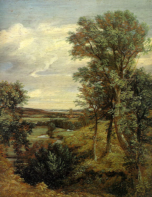
Dedham is a village within the borough of Colchester in northeast Essex, England, on the River Stour and the border of Essex and Suffolk. The nearest town to Dedham is the small market town of Manningtree. Governance Dedham is part of the electoral ward called Dedham and Langham. The population of this ward at the 2011 Census was 2,943. Geography Dedham is frequently rated as containing some of England's most beautiful Lowland landscape, most particularly the water meadows of the River Stour, which passes along the northern boundary of the village forming the boundary between Essex and Suffolk. Dedham has a central nuclear settlement around the Church and the junction of Mill Lane and the High Street (part of the B1029). Connected to Dedham are the hamlets of The Heath and Lamb Corner. The village forms a key part of the Dedham Vale. History Early documents record the name as Diddsham, presumably for a family known as Did or Didd. Dedham Classis In 1582–1587, a schis ... [...More Info...] [...Related Items...] OR: [Wikipedia] [Google] [Baidu] |
John Constable
John Constable (; 11 June 1776 – 31 March 1837) was an English landscape painter in the Romantic tradition. Born in Suffolk, he is known principally for revolutionising the genre of landscape painting with his pictures of Dedham Vale, the area surrounding his home – now known as "Constable Country" – which he invested with an intensity of affection. "I should paint my own places best", he wrote to his friend John Fisher in 1821, "painting is but another word for feeling". Constable's most famous paintings include ''Wivenhoe Park'' (1816), '' Dedham Vale'' (1821) and '' The Hay Wain'' (1821). Although his paintings are now among the most popular and valuable in British art, he was never financially successful. He became a member of the establishment after he was elected to the Royal Academy of Arts at the age of 52. His work was embraced in France, where he sold more than in his native England and inspired the Barbizon school. Early career John Constable was born ... [...More Info...] [...Related Items...] OR: [Wikipedia] [Google] [Baidu] |


