|
Elk Range (Canada)
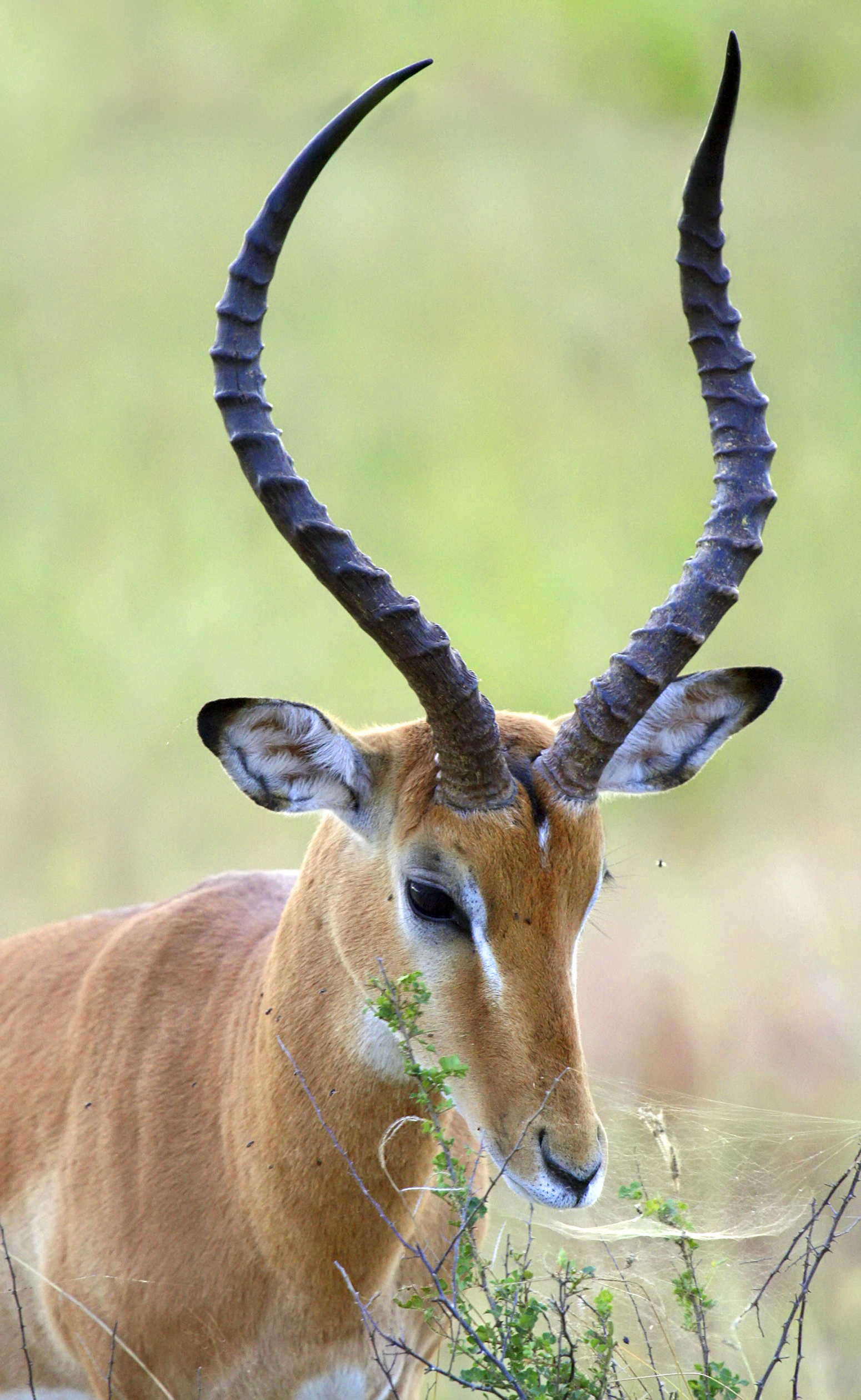
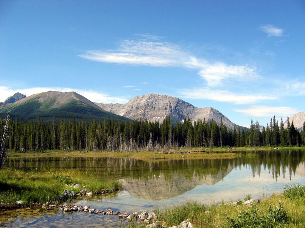
The Elk Range is a mountain range of the Canadian Rockies, located on the southern edge of Kananaskis on the Alberta- British Columbia border. The range was named for elk The elk (''Cervus canadensis''), also known as the wapiti, is one of the largest species within the deer family, Cervidae, and one of the largest terrestrial mammals in its native range of North America and Central and East Asia. The common ... found on the mountain slopes and in the nearby Elk River valley. Originally known as the Elk Mountains in 1917, the name was formally changed to the Elk Range in 1951. This range includes the following mountains and peaks: References {{Canadian Rockies, state=collapsed Mountain ranges of Alberta Mountain ranges of British Columbia Ranges of the Canadian Rockies ... [...More Info...] [...Related Items...] OR: [Wikipedia] [Google] [Baidu] |
Provinces And Territories Of Canada
Within the geographical areas of Canada, the ten provinces and three territories are sub-national administrative divisions under the jurisdiction of the Canadian Constitution. In the 1867 Canadian Confederation, three provinces of British North America—New Brunswick, Nova Scotia, and the Province of Canada (which upon Confederation was divided into Ontario and Quebec)—united to form a federation, becoming a fully independent country over the next century. Over its history, Canada's international borders have changed several times as it has added territories and provinces, making it the world's second-largest country by area. The major difference between a Canadian province and a territory is that provinces receive their power and authority from the '' Constitution Act, 1867'' (formerly called the '' British North America Act, 1867''), whereas territorial governments are creatures of statute with powers delegated to them by the Parliament of Canada. The powers flowing ... [...More Info...] [...Related Items...] OR: [Wikipedia] [Google] [Baidu] |
Mount McPhail
Mount McPhail is a mountain located in the Elk Range of the Park Ranges of the Canadian Rockies and stands astride the British Columbia-Alberta border, which follows the Continental Divide in this area. The mountain was named in 1918 after Norman R. McPhail, a Canadian soldier who was killed in action during World War I. See also * List of peaks on the Alberta–British Columbia border This is a list of peaks on the Alberta–British Columbia border, being the spine of the Continental Divide from the Canada–United States border The border between Canada and the United States is the longest international border in the wo ... References Two-thousanders of Alberta Two-thousanders of British Columbia Borders of British Columbia Borders of Alberta Great Divide of North America Canadian Rockies Kootenay Land District {{EastKootenay-geo-stub ... [...More Info...] [...Related Items...] OR: [Wikipedia] [Google] [Baidu] |
Mountain Ranges Of Alberta
A mountain is an elevated portion of the Earth's crust, generally with steep sides that show significant exposed bedrock. Although definitions vary, a mountain may differ from a plateau in having a limited summit area, and is usually higher than a hill, typically rising at least 300 metres (1,000 feet) above the surrounding land. A few mountains are isolated summits, but most occur in mountain ranges. Mountains are formed through tectonic forces, erosion, or volcanism, which act on time scales of up to tens of millions of years. Once mountain building ceases, mountains are slowly leveled through the action of weathering, through slumping and other forms of mass wasting, as well as through erosion by rivers and glaciers. High elevations on mountains produce colder climates than at sea level at similar latitude. These colder climates strongly affect the ecosystems of mountains: different elevations have different plants and animals. Because of the less hospitable terrain a ... [...More Info...] [...Related Items...] OR: [Wikipedia] [Google] [Baidu] |
Horned Mountain
A horn is a permanent pointed projection on the head of various animals that consists of a covering of keratin and other proteins surrounding a core of live bone. Horns are distinct from antlers, which are not permanent. In mammals, true horns are found mainly among the ruminant artiodactyls, in the families Antilocapridae (pronghorn) and Bovidae (cattle, goats, antelope etc.). Cattle horns arise from subcutaneous connective tissue (under the scalp) and later fuse to the underlying frontal bone. One pair of horns is usual; however, two or more pairs occur in a few wild species and in some domesticated breeds of sheep. Polycerate (multi-horned) sheep breeds include the Hebridean, Icelandic, Jacob, Manx Loaghtan, and the Navajo-Churro. Horns usually have a curved or spiral shape, often with ridges or fluting. In many species, only males have horns. Horns start to grow soon after birth and continue to grow throughout the life of the animal (except in pronghorns, which shed the o ... [...More Info...] [...Related Items...] OR: [Wikipedia] [Google] [Baidu] |
Mount Odlum
Mount Odlum is located on the border of Alberta and British Columbia on the Continental Divide. It was named in 1917 after Victor Wentworth Odlum, Brigadier-General in the Canadian army during World War I. After the war, he entered politics from 1924–1947. Geology Mount Odlum is composed of sedimentary rock laid down during the Precambrian to Jurassic periods. Formed in shallow seas, this sedimentary rock was pushed east and over the top of younger rock during the Laramide orogeny. See also * List of peaks on the Alberta–British Columbia border This is a list of peaks on the Alberta–British Columbia border, being the spine of the Continental Divide from the Canada–United States border The border between Canada and the United States is the longest international border in the wo ... References Two-thousanders of Alberta Two-thousanders of British Columbia Canadian Rockies Kootenay Land District {{EastKootenay-geo-stub ... [...More Info...] [...Related Items...] OR: [Wikipedia] [Google] [Baidu] |
Mount Loomis
Mount Loomis is located on the border of Alberta and British Columbia on the Continental Divide. It was named in 1918 after Frederick Oscar Warren Loomis, a Canadian Army general who served in World War I. See also * List of peaks on the Alberta–British Columbia border This is a list of peaks on the Alberta–British Columbia border, being the spine of the Continental Divide from the Canada–United States border The border between Canada and the United States is the longest international border in the wo ... References Two-thousanders of Alberta Two-thousanders of British Columbia Canadian Rockies {{EastKootenay-geo-stub ... [...More Info...] [...Related Items...] OR: [Wikipedia] [Google] [Baidu] |
Mount Bishop (Elk Range)
Mount Bishop is a mountain named in 1918 after W.A. "Billy" Bishop VC who was a Colonel and a Canadian fighter pilot awarded the Victoria Cross during World War I. It is located in the Elk Range of the Canadian Rockies and sits on the Continental Divide, which forms the British Columbia-Alberta border in this area. See also *List of peaks on the Alberta–British Columbia border This is a list of peaks on the Alberta–British Columbia border, being the spine of the Continental Divide from the Canada–United States border The border between Canada and the United States is the longest international border in the wo ... References Two-thousanders of Alberta Two-thousanders of British Columbia Great Divide of North America Canadian Rockies {{BritishColumbiaInterior-geo-stub ... [...More Info...] [...Related Items...] OR: [Wikipedia] [Google] [Baidu] |
Mount Tyrwhitt
Mount Tyrwhitt is a mountain in British Columbia and Alberta, Canada located between Highway 40 and Elk Pass in the Elk Range of the Canadian Rockies, west of the Highwood Pass parking lot in Kananaskis Country and south east of Upper Kananaskis Lake. Located on the Continental Divide, it is also therefore on the border between British Columbia and Alberta which follows the Divide in this area. The mountain was named in 1918 after First Admiral Reginald Tyrwhitt, a senior officer in the Royal Navy during the First World War. __NOTOC__ Gallery File:Mount Tyrwhitt from Kananaskis Trail.jpeg, Mount Tyrwhitt from Kananaskis Trail See also * List of peaks on the Alberta–British Columbia border This is a list of peaks on the Alberta–British Columbia border, being the spine of the Continental Divide from the Canada–United States border The border between Canada and the United States is the longest international border in the wo ... References External links * ... [...More Info...] [...Related Items...] OR: [Wikipedia] [Google] [Baidu] |
Mount Pocaterra
Mount Pocaterra is the unofficial name of a rocky formation named after the Pocaterra Creek in the same region. It is located in the Elk Range in Alberta. This peak is located on the crest of a ridge, about 1.5 km north of the lower Mount Tyrwhitt. The peak is a double summit, with the north summit slightly higher. See also * Geography of Alberta Alberta is one of the thirteen provinces and territories of Canada. Located in Western Canada, the province has an area of and is bounded to the south by the United States state of Montana along 49° north for ; to the east at 110° west by t ... References Gallery File:Mt. Pocaterra.jpg File:Mount Pocaterra.jpg External links * Mt. Pocaterra photoFlickr {{DEFAULTSORT:Pocaterra Two-thousanders of Alberta Alberta's Rockies ... [...More Info...] [...Related Items...] OR: [Wikipedia] [Google] [Baidu] |
British Columbia
British Columbia (commonly abbreviated as BC) is the westernmost Provinces and territories of Canada, province of Canada, situated between the Pacific Ocean and the Rocky Mountains. It has a diverse geography, with rugged landscapes that include rocky coastlines, sandy beaches, forests, lakes, mountains, inland deserts and grassy plains, and borders the province of Alberta to the east and the Yukon and Northwest Territories to the north. With an estimated population of 5.3million as of 2022, it is Canada's Population of Canada by province and territory, third-most populous province. The capital of British Columbia is Victoria, British Columbia, Victoria and its largest city is Vancouver. Vancouver is List of census metropolitan areas and agglomerations in Canada, the third-largest metropolitan area in Canada; the 2021 Canadian census, 2021 census recorded 2.6million people in Metro Vancouver Regional District, Metro Vancouver. The First Nations in Canada, first known human inhabi ... [...More Info...] [...Related Items...] OR: [Wikipedia] [Google] [Baidu] |
Elk River (Alberta)
The Elk River is a short river rising in the eastern portion of the Alberta foothills. The river begins south of the ghost town of Coalspur and heads east before draining into the Brazeau Reservoir created by the Brazeau Dam on the Brazeau River, a tributary of the North Saskatchewan River. The river follows the Elk River Road for much of its course. The Elk River Provincial Recreation Area is also located on the river. Physical characteristics Alberta Environment, a Ministry of the Government of Alberta, undertook a survey of the Elk River in the 1980s. The following data was generated from the survey:Alberta Environment, Environmental Engineering Support Division. ''Brazeau-Pembina River Classification Study.'' Edmonton: Alberta Department of the Environment, 1980. Reach number 1 *Terrain Surrounding Valley: Rolling hills, ground moraine Valley characteristics *Description: Wide, stream cut valley *Terraces: 2 fragmentary levels Valley Flat *Width: 750 m *Description ... [...More Info...] [...Related Items...] OR: [Wikipedia] [Google] [Baidu] |
Kananaskis Country
Kananaskis Country is a multi-use area west of Calgary, Alberta, Canada in the Rocky Mountain Foothills, foothills and front ranges of the Canadian Rockies. The area is named for the Kananaskis River, which was named by John Palliser in 1858 after a Cree acquaintance. Covering an area of approximately , Kananaskis Country was formed by the Alberta Government in 1978 to provide an assortment of land uses and designations. Land uses include resource extraction activities (such as forestry, cattle grazing, water, oil and gas), recreation, power generation, and residential communities. Land designations include public land and protected areas. Administration and purpose The area, which now includes Kananaskis Country, has been administered since 1945 as Kananaskis Improvement District, Improvement District No. 5 (Kananaskis). It was established by the Municipal Affairs branch of the Alberta Government for multiple uses including logging, natural gas, gas and petroleum, oil extracti ... [...More Info...] [...Related Items...] OR: [Wikipedia] [Google] [Baidu] |


