|
Edward Kern
Edward Meyer Kern (October 26, 1822 or 1823 – November 25, 1863) was an American artist, topographer, and explorer of California, the Southwestern United States, and East Asia. He is the namesake of the Kern River and Kern County, California. Early life Kern was born in Philadelphia, the son of John Kern III and Mary Elizabeth Bignell. He was trained as an artist. His brother Richard Kern (1821–1853) was also an accomplished artist, and his brother Benjamin Kern (1818–1849) was a doctor. They joined him on several expeditions. Expeditions California In 1845–46, Kern accompanied explorer Captain John C. Frémont on his Third Expedition into Mexican Alta California. Kern received a daily salary of $3.00. He served as a cartographer as well as a documentation artist, collecting botanical and animal specimens on the journey. Each night of the trip Kern drew a field map of the day's route with longitudes and latitudes, and sketched landmarks. Just before they reached ... [...More Info...] [...Related Items...] OR: [Wikipedia] [Google] [Baidu] |
Philadelphia, Pennsylvania
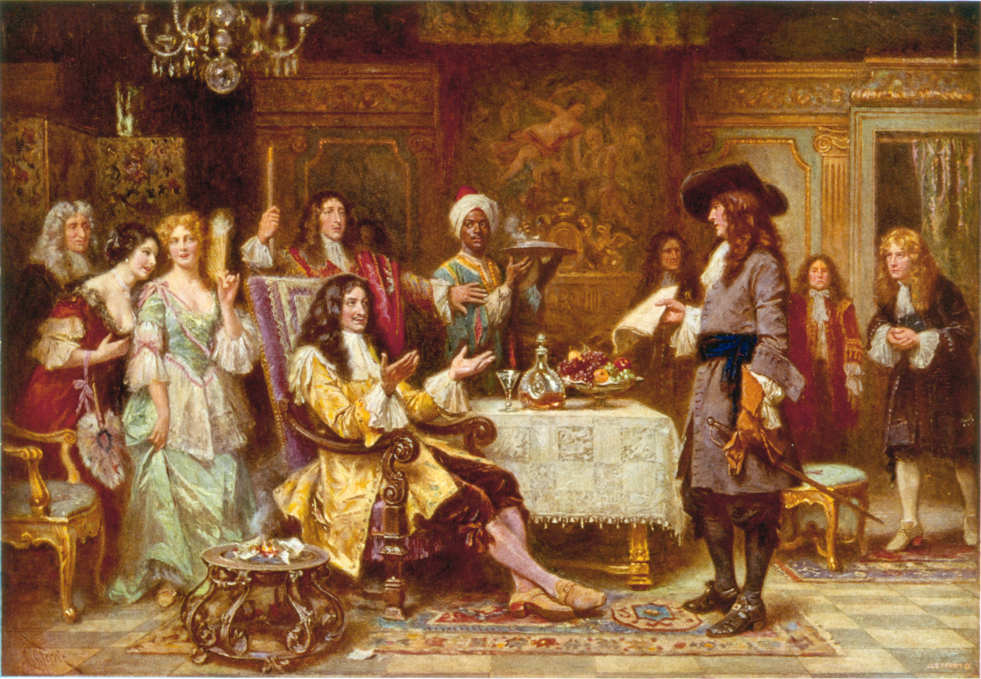
Philadelphia ( ), colloquially referred to as Philly, is the List of municipalities in Pennsylvania, most populous city in the U.S. state of Pennsylvania and the List of United States cities by population, sixth-most populous city in the United States, with a population of 1,603,797 in the 2020 United States census, 2020 census. The city is the urban core of the Philadelphia metropolitan area (sometimes called the Delaware Valley), the nation's Metropolitan statistical area, seventh-largest metropolitan area and ninth-largest combined statistical area with 6.245 million residents and 7.379 million residents, respectively. Philadelphia was founded in 1682 by William Penn, an English Americans, English Quakers, Quaker and advocate of Freedom of religion, religious freedom, and served as the capital of the Colonial history of the United States, colonial era Province of Pennsylvania. It then played a historic and vital role during the American Revolution and American Revolutionary ... [...More Info...] [...Related Items...] OR: [Wikipedia] [Google] [Baidu] |
Sierra Nevada (U
The Sierra Nevada ( ) is a mountain range in the Western United States, between the Central Valley (California), Central Valley of California and the Great Basin. The vast majority of the range lies in the state of California, although the Carson Range spur lies primarily in Nevada. The Sierra Nevada is part of the American Cordillera, an almost continuous chain of mountain ranges that forms the western "backbone" of the Americas. The Sierra runs north-south, and its width ranges from to across east–west. Notable features include the General Sherman Tree, the largest tree in the world by volume; Lake Tahoe, the largest alpine lake in North America; Mount Whitney at , the highest point in the contiguous United States; and Yosemite Valley sculpted by glaciers from one-hundred-million-year-old granite, containing List of waterfalls in Yosemite National Park, high waterfalls. The Sierra is home to three national parks, twenty-six wilderness areas, ten national forests, and two ... [...More Info...] [...Related Items...] OR: [Wikipedia] [Google] [Baidu] |
New Mexico
New Mexico is a state in the Southwestern United States, Southwestern region of the United States. It is one of the Mountain States of the southern Rocky Mountains, sharing the Four Corners region with Utah, Colorado, and Arizona. It also borders the state of Texas to the east and southeast, Oklahoma to the northeast, and shares Mexico-United States border, an international border with the Mexican states of Chihuahua (state), Chihuahua and Sonora to the south. New Mexico's largest city is Albuquerque, and its List of capitals in the United States, state capital is Santa Fe, New Mexico, Santa Fe, the oldest state capital in the U.S., founded in 1610 as the government seat of Santa Fe de Nuevo México, Nuevo México in New Spain. It also has the highest elevation of any state capital, at . New Mexico is the List of U.S. states and territories by area, fifth-largest of the fifty states by area, but with just over 2.1 million residents, ranks List of U.S. states and terri ... [...More Info...] [...Related Items...] OR: [Wikipedia] [Google] [Baidu] |
Colorado
Colorado is a U.S. state, state in the Western United States. It is one of the Mountain states, sharing the Four Corners region with Arizona, New Mexico, and Utah. It is also bordered by Wyoming to the north, Nebraska to the northeast, Kansas to the east, and Oklahoma to the southeast. Colorado is noted for its landscape of mountains, forests, High Plains (United States), high plains, mesas, canyons, plateaus, rivers, and desert lands. It encompasses most of the Southern Rocky Mountains, as well as the northeastern portion of the Colorado Plateau and the western edge of the Great Plains. Colorado is the List of U.S. states and territories by area, eighth-largest U.S. state by area and the List of U.S. states and territories by population, 21st by population. The United States Census Bureau estimated the population of Colorado to be 5,957,493 as of July 1, 2024, a 3.2% increase from the 2020 United States census. The region has been inhabited by Native Americans in the United St ... [...More Info...] [...Related Items...] OR: [Wikipedia] [Google] [Baidu] |
Rocky Mountains
The Rocky Mountains, also known as the Rockies, are a major mountain range and the largest mountain system in North America. The Rocky Mountains stretch in great-circle distance, straight-line distance from the northernmost part of Western Canada, to New Mexico in the Southwestern United States. Depending on differing definitions between Canada and the U.S., its northern terminus is located either in northern British Columbia's Terminal Range south of the Liard River and east of Rocky Mountain Trench, the Trench, or in the northeastern foothills of the Brooks Range/British Mountains that face the Beaufort Sea coasts between the Canning River (Alaska), Canning River and the Firth River across the Alaska-Yukon border. Its southernmost point is near the Albuquerque metropolitan area, Albuquerque area adjacent to the Rio Grande rift and north of the Sandia–Manzano Mountains, Sandia–Manzano Mountain Range. Being the easternmost portion of the North American Cordillera, the Rockie ... [...More Info...] [...Related Items...] OR: [Wikipedia] [Google] [Baidu] |
Kern And Sutter Massacres
The Kern and Sutter massacres refer to a series of massacres on March 23, 1847, in which men led by Captain Edward M. Kern and rancher John Sutter killed twenty California Indians. History Background In 1839, John Sutter, a Swiss immigrant of German origin, settled in Alta California and began building a fortified settlement on a land grant of 48,827 acres where the Sacramento and American Rivers meet. This establishment, known as Sutter's Fort, was where the first traces of gold were found, initiating the California Gold Rush. The fort was a trading post for traveling pioneers, trappers, and men looking for work. He had been given the land by the Mexican government, supposedly under the stipulation that it would help to keep Americans from occupying the territory. To build his fort and develop an extensive ranching/farming network in the area, Sutter relied on Indian labor. Observers accused him of using "kidnapping, food privation, and slavery" to force Indians to work for him an ... [...More Info...] [...Related Items...] OR: [Wikipedia] [Google] [Baidu] |
Donner Party
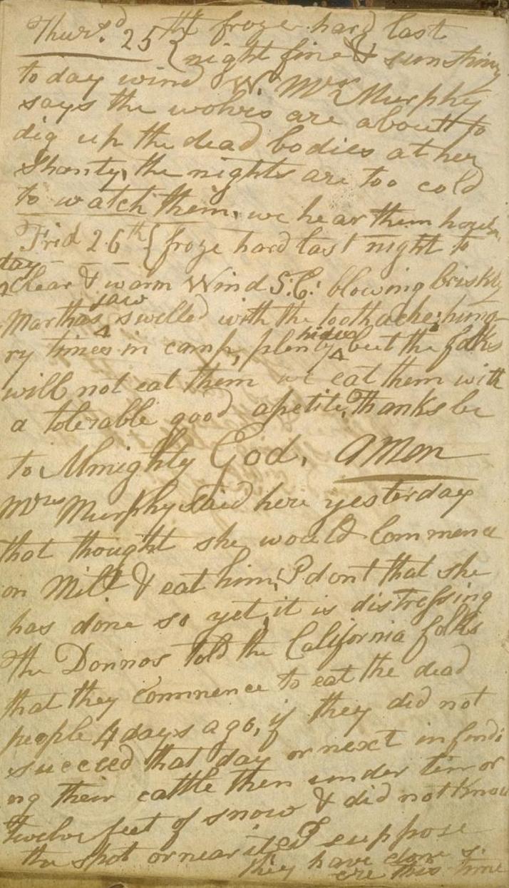
The Donner Party, sometimes called the Donner–Reed Party, was a group of American pioneers who migrated to California interim government, 1846-1850, California in a wagon train from the Midwest. Delayed by a multitude of mishaps, they spent the winter of 1846–1847 snowbound in the Sierra Nevada. Some of the migrants resorted to Human cannibalism, cannibalism to survive, mainly eating the bodies of those who had succumbed to starvation, sickness, or extreme cold, but in one case murdering and eating two Indigenous peoples of California, Native American guides. The Donner Party originated from Springfield, Illinois, and departed Independence, Missouri, on the Oregon Trail in the spring of 1846. The journey west usually took between four and six months, but the Donner Party was slowed after electing to follow a new route called the Hastings Cutoff, which bypassed established trails and instead crossed the Rocky Mountains' Wasatch Range and the Great Salt Lake Desert in present ... [...More Info...] [...Related Items...] OR: [Wikipedia] [Google] [Baidu] |
John Sutter
John Augustus Sutter (February 23, 1803 – June 18, 1880), born Johann August Sutter and known in Spanish as Don Juan Sutter, was a Switzerland, Swiss immigrant who became a Mexican and later an American citizen, known for establishing Sutter's Fort in the area that would eventually become Sacramento, California, the state's capital. His employee James W. Marshall discovered gold, leading to the founding of the mill-making team at Sutter's Mill. Sutter, however, saw his own business ventures fail during the California gold rush, though those of his elder son, John Augustus Sutter Jr., were more successful.Sutter, John A. Jr. & Ottley, Allan R. (Ed.). ''Statement: Regarding Early California Experiences''. Sacramento Book Collectors Club. 1943. Early life Sutter was born on February 23, 1803, in Kandern, Margraviate of Baden, Baden in present-day Germany, to Johann Jakob Sutter, a Construction foreman, foreman at a paper mill, and Christina Wilhelmine Sutter (née Stober). His ... [...More Info...] [...Related Items...] OR: [Wikipedia] [Google] [Baidu] |
Sacramento Valley
The Sacramento Valley is the area of the Central Valley of the U.S. state of California that lies north of the Sacramento–San Joaquin River Delta and is drained by the Sacramento River. It encompasses all or parts of ten Northern California counties. Although many areas of the Sacramento Valley are rural, it contains several urban areas, including the state capital, Sacramento. Comparatively water-rich relative to the other segment of the Central Valley to the south, the San Joaquin Valley, there are slight differences in the crops typically grown in the Sacramento Valley. Much wetter winters (averaging between of annual precipitation in the nearby foothills) and an extensive system of irrigation canals allows for the economic viability of water-thirsty crops such as rice and '' Juglans hindsii''-rootstock walnuts. Since 2010, statewide droughts in California (combined with unprecedented summer heat) have strained both the Sacramento Valley's and the Sacramento metropolitan ... [...More Info...] [...Related Items...] OR: [Wikipedia] [Google] [Baidu] |
Bear Flag Revolt
The California Republic, or Bear Flag Republic, was an List of historical unrecognized states#Americas, unrecognized breakaway state from Second Federal Republic of Mexico, Mexico, that existed from June 14, 1846 to July 9, 1846. It militarily controlled an area north of San Francisco, in and around what is now Sonoma County, California, Sonoma County in California. In June 1846, thirty-three Americans in Mexico, American immigrants in Alta California who had entered without official permissionBancroft; IV: 598–608 rebelled against the Mexican department's"Department" was a territorial and administrative designation used by Centralist Republic of Mexico, Mexico's centralized government under the Seven Laws of 1836. government. Among their grievances were that they had not been allowed to buy or rent land and had been threatened with expulsion.Richman p 308 Mexican officials had been concerned about a coming war with the United States and the growing influx of Americans in ... [...More Info...] [...Related Items...] OR: [Wikipedia] [Google] [Baidu] |
California State Route 178
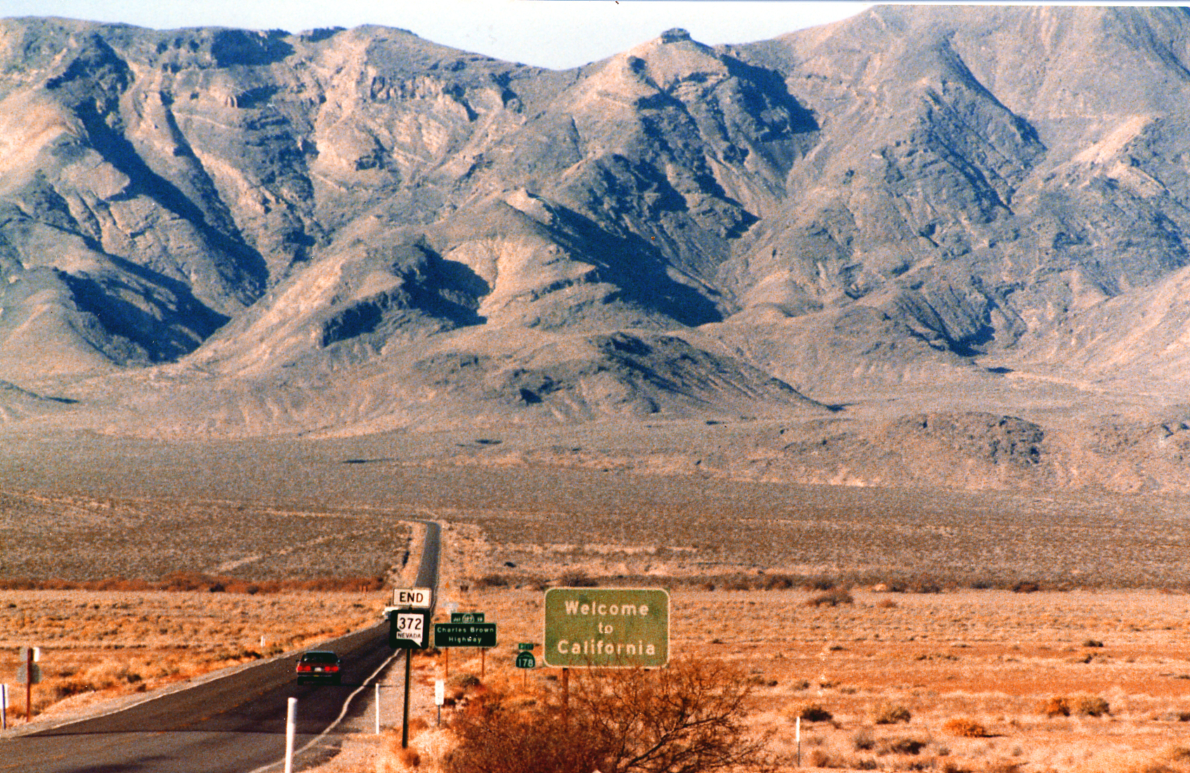
State Route 178 (SR 178) is a state highway in the U.S. state of California that exists in two constructed segments. The gap in between segments is connected by various local roads and State Route 190 (California), State Route 190 through Death Valley National Park. The western segment runs from California State Route 99, State Route 99 in Bakersfield, California, Bakersfield and over the Walker Pass in the Sierra Nevada (U.S.), Sierra Nevada to the turnoff for the Trona Pinnacles, Trona Pinnacles National Natural Landmark. The eastern segment runs from the southeasterly part of Death Valley to Nevada State Route 372 at the Nevada state line. SR 178 serves many different purposes. It connects Downtown Bakersfield with East Bakersfield and Lake Isabella. It is one of three crossings over the Sierra Nevada south of Yosemite (California State Route 120, SR 120, Tioga Pass Road), connecting the southern San Joaquin Valley with the upper Mojave Desert and the Owens Valley. This also p ... [...More Info...] [...Related Items...] OR: [Wikipedia] [Google] [Baidu] |
Lake Isabella
Lake Isabella also called Isabella Lake, is a reservoir in Kern County, California, United States created by the earthen Isabella Dam. At , it is one of the larger reservoirs in California. Lake Isabella is located about northeast of Bakersfield, and is the main water supply for that city. It was formed in 1953 when the U.S. Army Corps of Engineers dammed the Kern River at the junction of its two forks. The area is in the southern end of the Sierra Nevada range and the lake itself is located in low mountains at an elevation of approximately where summer temperatures reach over but low enough to avoid winter snows on the surrounding ridges. The former towns of Isabella and Kernville were flooded when the reservoir was created. Capacity The U.S. Army Corps of Engineers operates and has jurisdiction over the main and auxiliary dams. In 2006, Isabella Dam was found to be too unstable to hold a full amount of water and approximately 37% of a full reservoir had to be let ou ... [...More Info...] [...Related Items...] OR: [Wikipedia] [Google] [Baidu] |


