|
Draper Town Center Station
Draper Town Center station is a light rail station located in Draper, Utah, United States, served by the TRAX Blue Line of the Utah Transit Authority's (UTA) TRAX system. The Blue Line provides service north from this station to Downtown Salt Lake City. Description The station is located at 1131 East Pioneer Road (12400 South). The station was built in the historic center of Draper between 12300 South and 12400 South next to Draper's city hall, the Draper Poultrymen and Egg Producers' Plant (now operated as Intermountain Farmers Association FA, and Draper City Park. It is situated in an area where the railroad right-of-way on which the TRAX line is built turns east-southeast at the base of a retail-covered hill to the northeast; the right-of-way (proposed for use in Phase 2 of the Draper Extension, and already incorporating a rails-with-trails multi-use path) continues east, then south and west in a curve following the contours of the land in order to gain elevation on i ... [...More Info...] [...Related Items...] OR: [Wikipedia] [Google] [Baidu] |
Draper, Utah
Draper is a city in Salt Lake and Utah counties in the U.S. state of Utah, about south of Salt Lake City along the Wasatch Front. As of the 2020 census, the population is 51,017, up from 7,143 in 1990. Draper is part of two metropolitan areas; the Salt Lake County portion is in the Salt Lake City metropolitan area, while the Utah County portion is in the Provo-Orem metropolitan area. Draper has two UTA TRAX stations (Draper Town Center, 12300/12400 South and Kimball's Lane 11800 South) as well as one on the border with Sandy (Crescent View 11400 South). A FrontRunner commuter rail station serves the city's west side. The city has around 5 FLEX bus routes connecting neighboring communities and two bus routes to Lehi Frontrunner Station and River/Herriman, connecting at Draper Town Center and the Draper Frontrunner Stations. The Utah State Prison was located in Draper from 1951 to 2022, near Point of the Mountain, alongside Interstate 15. State politicians voted to conde ... [...More Info...] [...Related Items...] OR: [Wikipedia] [Google] [Baidu] |
Rails With Trails
Rails with trails (RWT) are a small subset of rail trails in which a railway right-of-way remains in use by trains yet also has a parallel recreational trail. Hundreds of kilometers of RWTs exist in Canada, Europe, the United States, Australia, and the United Arab Emirates. Australia Rails with trails in Australia usually exist along publicly owned passenger railways outside of the larger cities. They are called "rail-side trails" and are built on railroad-owned land but managed by local government entities. Canada Rails with trails exist in most provinces including Nova Scotia, Québec, Ontario, Saskatchewan, Alberta, and British Columbia. While the length varies, most are relatively short compared to those in the United States, ranging from less than 100 meters long to several kilometers. Canadian rails with trails are frequently smaller segments of a longer trail, "with a rails-with-trails portion located on bridges, at choke points, and where the rail corridor was dee ... [...More Info...] [...Related Items...] OR: [Wikipedia] [Google] [Baidu] |
Railway Stations In The United States Opened In 2013
Rail transport (also known as train transport) is a means of transport using wheeled vehicles running in tracks, which usually consist of two parallel steel rails. Rail transport is one of the two primary means of land transport, next to road transport. It is used for about 8% of passenger and freight transport globally, thanks to its energy efficiency and potentially high speed.Rolling stock on rails generally encounters lower frictional resistance than rubber-tyred road vehicles, allowing rail cars to be coupled into longer trains. Power is usually provided by diesel or electric locomotives. While railway transport is capital-intensive and less flexible than road transport, it can carry heavy loads of passengers and cargo with greater energy efficiency and safety. Precursors of railways driven by human or animal power have existed since antiquity, but modern rail transport began with the invention of the steam locomotive in the United Kingdom at the beginning of the 19th ... [...More Info...] [...Related Items...] OR: [Wikipedia] [Google] [Baidu] |
TRAX (light Rail) Stations
Trax may refer to: Music * ''Trax'' (album), the debut album from Japanese electronic music group Ravex *TRAX (band), a Korean rock band * Trax Records, first house music label owned by Larry Sherman in Chicago *Trax, a discontinued MIDI sequencer made by Passport Designs *Trax (duo), featuring the Danish singer Lise Haavik Transport Automobiles *Chevrolet Trax, a subcompact SUV introduced in 2012 *Chevrolet Trax (concept car), a subcompact crossover SUV concept that debuted in 2007 * Force Trax, a mid-size SUV built since 1988, originally called Bajaj Tempo Trax Rail * TRAX (light rail), a light rail system in the Salt Lake City area Computing * TrAX, the Transformation API for XML (now considered a part of JAXP) * Trax Image Recognition, also known as Trax Retail, a Singaporean software technology company Toys and games * Trax (game), a strategy board game played with tiles * Trax (video game), a shooter game developed by HAL Laboratory * Trax Models, a brand of Australian ... [...More Info...] [...Related Items...] OR: [Wikipedia] [Google] [Baidu] |
Terrace (agriculture)
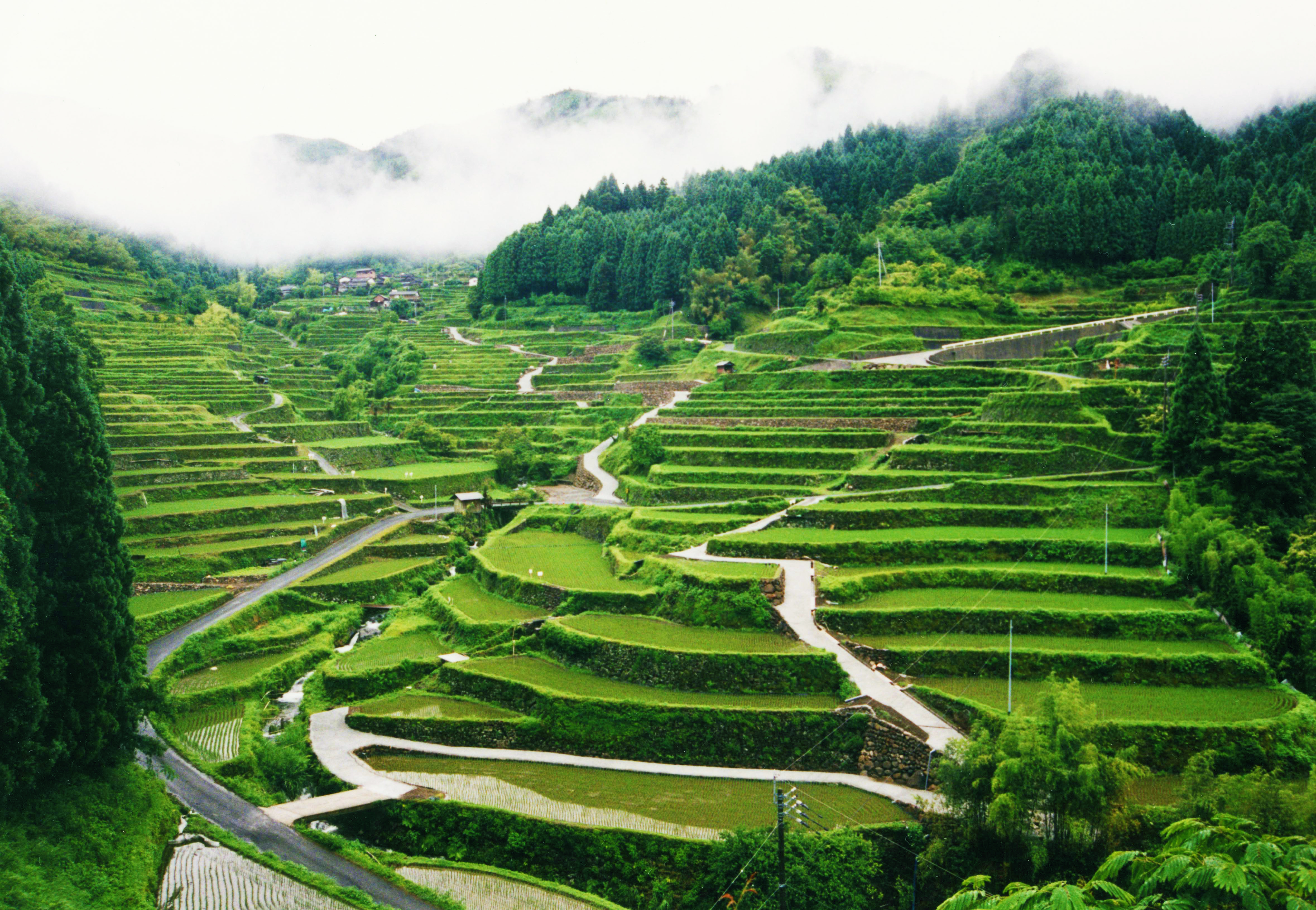
A terrace in agriculture is a flat surface that has been cut into hills or mountains to provide areas for the cultivation for crops, as a method of more effective farming. Terrace agriculture or cultivation is when these platforms are created successively down the terrain in a pattern that resembles the steps of a staircase. As a type of landscaping, it is called terracing. Terraced fields decrease both erosion and surface runoff, and may be used to support growing crops that require irrigation, such as rice. The Rice Terraces of the Philippine Cordilleras have been designated as a UNESCO World Heritage Site because of the significance of this technique. Uses Terraced paddy fields are used widely in rice, wheat and barley farming in East Asia, east, South Asia, south, Western Asia, southwest, and southeast Asia, as well as the Mediterranean Basin, Africa, and South America. Drier-climate terrace farming is common throughout the Mediterranean Basin, where they are used for ... [...More Info...] [...Related Items...] OR: [Wikipedia] [Google] [Baidu] |
Interstate 15 In Utah
Interstate 15 (I-15) runs north–south in the U.S. state of Utah through the southwestern and central portions of the state, passing through most of the state's population centers, including St. George, Utah, St. George and those comprising the Wasatch Front: Provo–Orem metropolitan area, Provo–Orem, Salt Lake City metropolitan area, Salt Lake City, and Ogden–Clearfield metropolitan area, Ogden–Clearfield. It is Utah's primary and only north–south interstate highway, as the vast majority of the state's population lives along its corridor; the Logan metropolitan area is the state's only Metropolitan Statistical Area through which I-15 does not pass. In 1998, the Utah State Legislature designated Utah's entire portion of the road as the Veterans Memorial Highway. Route description The Interstate passes through the fast-growing Dixie (Utah), Dixie region, which includes St. George and Cedar City, Utah, Cedar City, and eventually most of the major cities and suburb ... [...More Info...] [...Related Items...] OR: [Wikipedia] [Google] [Baidu] |
Deseret Digital Media
Deseret Digital Media, Inc. (DDM) is a subsidiary company of Deseret Management Corporation (DMC), an American holding company owned by the Church of Jesus Christ of Latter-day Saints (LDS Church). DDM owns digital assets, primarily focused on the Utah news and classifieds sitKSL.comand tourism sitUtah.com The company's first CEO, Clark Gilbert, served from DDM's founding in 2009 until 2015 when he was named president of BYU-Idaho. Gilbert later became an LDS Church general authority and as of 2024 continues to serve as the commissioner of the Church Educational System. Greg Peterson was DDM's president from 2016 to 2021. As of 2024, the president is Nate Hatch, a former Assistant Vice President of Technology at Brigham Young University. DDM was formed in 2009 to run the website operations of DMC. Since then, Deseret News has resumed operations of its website and DDM operates KSL.com aside from Bonneville International's digital assets. KSL.com classifieds KSL Classifieds ... [...More Info...] [...Related Items...] OR: [Wikipedia] [Google] [Baidu] |
KSL-TV
KSL-TV (channel 5) is a television station in Salt Lake City, Utah, United States, affiliated with NBC. It is the flagship television property of locally based Bonneville International, the for-profit broadcasting arm of the Church of Jesus Christ of Latter-day Saints (LDS Church), and is sister to radio stations KSL (1160 AM) and KSL-FM (102.7). The three stations share studios at the Broadcast House building in Salt Lake City's Triad Center; KSL-TV's transmitter is located on Farnsworth Peak in the Oquirrh Mountains, southwest of Salt Lake City. The station has a large network of broadcast translators that extend its over-the-air coverage throughout Utah, as well as portions of Arizona, Idaho, Nevada and Wyoming. KSL-TV is one of a few for-profit U.S. television stations owned by a religious institution (most U.S. TV stations owned by religious institutions are affiliated with non-profit religious broadcasting networks). History Primary CBS affiliate Radio Service Cor ... [...More Info...] [...Related Items...] OR: [Wikipedia] [Google] [Baidu] |
Salt Lake County Library Services
Salt Lake County Library Services is a system of free public libraries serving the population throughout Salt Lake County, Utah. Salt Lake County Library Services is currently ranked 5th in the United States among libraries serving a population of 500,000 or greater. This is the sixth time the County Library System has ranked among the top in the natio History Salt Lake County Library Services began operations early in 1939, when the first location was housed in two school rooms in the old Midvale, Utah, Midvale, Utah School. Small libraries were subsequently established in several county schools. The library was immediately very popular with the residents, issuing library cards to 1,700 patrons between January and April 1939. The first Salt Lake County Library Board was established a year earlier, in 1938, and members included Dr. C. N. Jensen, Dr. Calvin S. Smith, Alf G. Gunn and County Commissioner J. R. Rawlins. Ruth Vine Tyler, a former school teacher and Salt Lake Ci ... [...More Info...] [...Related Items...] OR: [Wikipedia] [Google] [Baidu] |
Utah County
Utah County is the second-most populous county in the U.S. state of Utah. The county seat and largest city is Provo, which is the state's fourth-largest city, and the largest outside of Salt Lake County. As of the 2020 United States census, the population was 659,399. Utah County is one of two counties forming the Provo-Orem metropolitan area, and is part of the larger Salt Lake City metropolitan area. In 2020, the center of population of Utah was in Utah County, in the city of Saratoga Springs. Utah County is one of the fastest-growing counties in the United States, ranking among the top ten counties in numerical growth. Correspondingly, Provo–Orem is among the top eight metropolitan areas by percentage growth in the country. Utah County is one of seven counties in the United States to have the same name as its state. The other six counties are Arkansas County, Hawaii County, Idaho County, Iowa County, Oklahoma County and New York County (commonly known as Man ... [...More Info...] [...Related Items...] OR: [Wikipedia] [Google] [Baidu] |
Mountain Pass
A mountain pass is a navigable route through a mountain range or over a ridge. Since mountain ranges can present formidable barriers to travel, passes have played a key role in trade, war, and both Human migration, human and animal migration throughout history. At lower elevations it may be called a hill pass. A mountain pass is typically formed between two volcanic peaks or created by erosion from water or wind. Overview Mountain passes make use of a gap (landform), gap, saddle (landform), saddle, col or notch (landform), notch. A topographic saddle is analogous to the mathematical concept of a saddle surface, with a saddle point marking the minimum high point between two valleys and the lowest point along a ridge. On a topographic map, passes can be identified by contour lines with an hourglass shape, which indicates a low spot between two higher points. In the high mountains, a difference of between the summit and the mountain is defined as a mountain pass. Passes are o ... [...More Info...] [...Related Items...] OR: [Wikipedia] [Google] [Baidu] |
Point Of The Mountain (Utah)
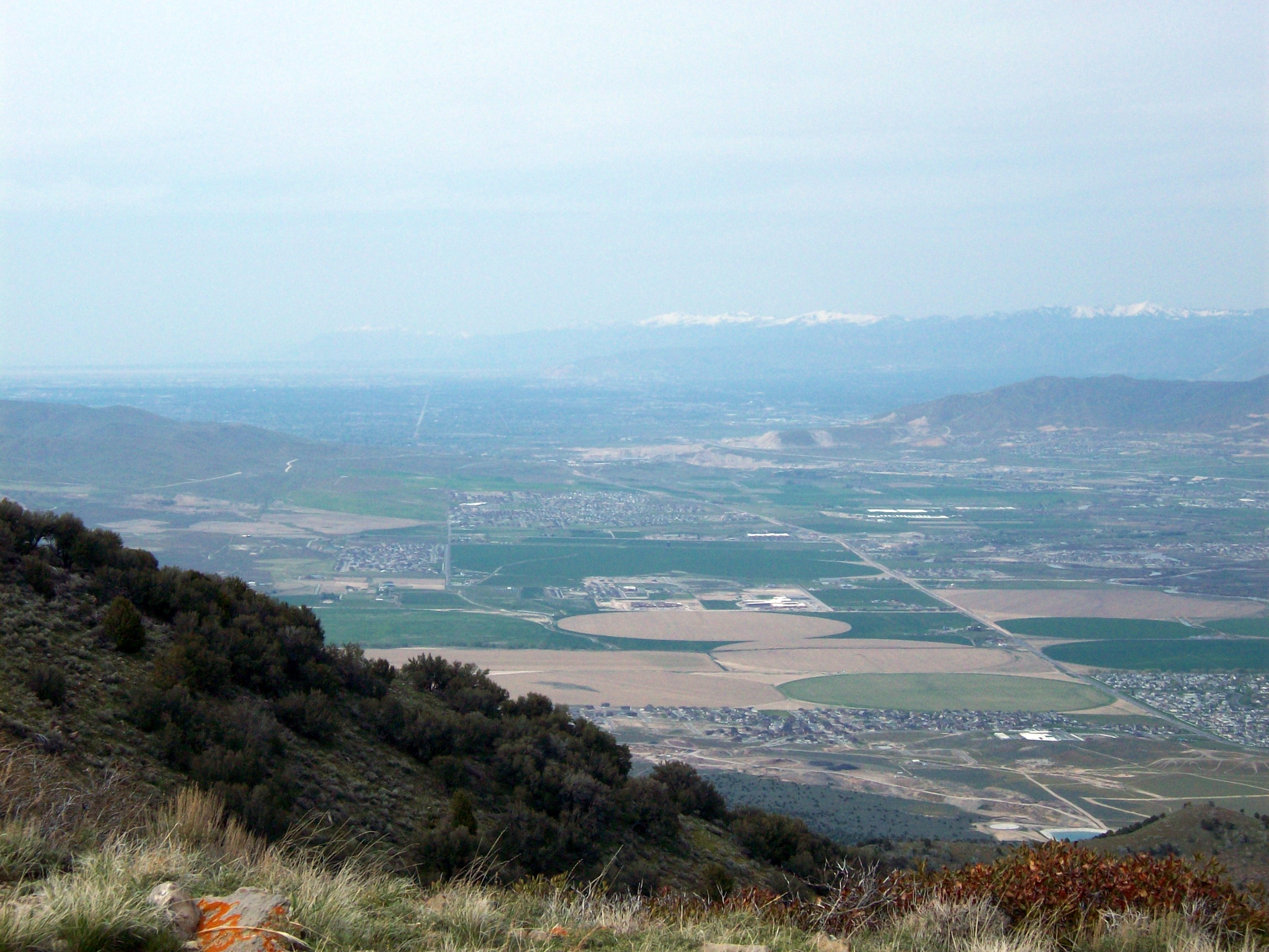
The Traverse Mountains, or sometimes Traverse Range, are an anomalous, geologically complex, east-trending range that separates Salt Lake Valley and Utah Valley in Salt Lake and Utah counties in the U.S. State of Utah. Point of the Mountain is colloquially used to refer to the part of this range that separates the Salt Lake City and Provo metropolitan areas, as well as the mountain pass at , used by the highways and rail arteries that connect the two areas. Description The Traverse Mountains mark the boundary between the Salt Lake and Provo segments of the Wasatch Fault, and they are much faulted and locally involved in landslides. Lake Bonneville once covered Salt Lake and Utah Valleys, and shorelines and deposits from the ice age lake are now etched into the flanks of the Traverse Mountains. The eastern section of the range (often called Traverse Mountain) is split up between the cities of Lehi and Draper. The Draper portion contains the Suncrest community, while the Leh ... [...More Info...] [...Related Items...] OR: [Wikipedia] [Google] [Baidu] |


