|
Dart Island
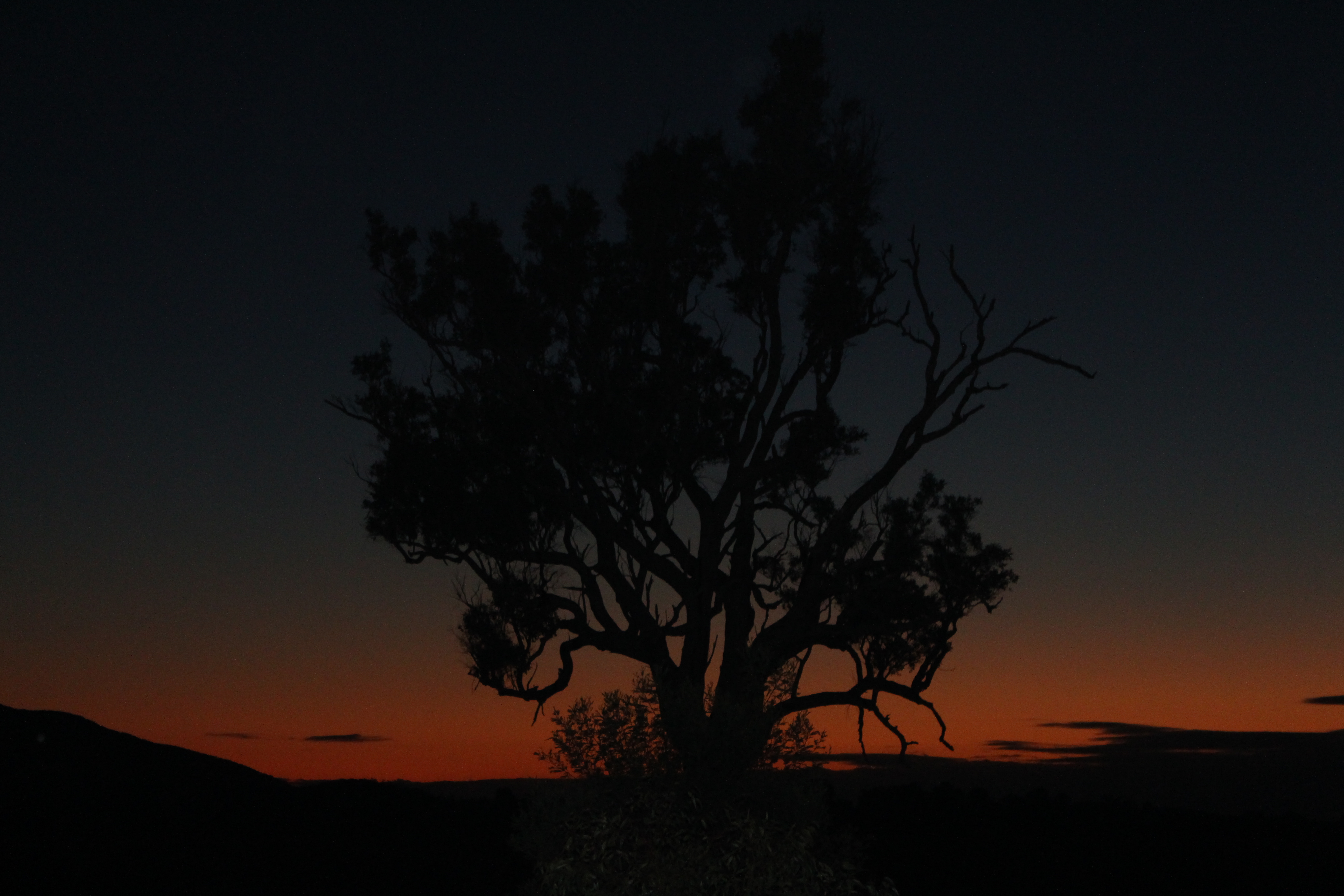
The Dart Island, part of the Tasman Island Group, is an island, lying close to the south-eastern coast of Tasmania, Australia. The island is located in Norfolk Bay, situated off the Tasman Peninsula. Dart Island is classified as a state reserve. Flora and fauna Dart Island contains stands of blackwoods, allocasuarinas and eucalypts. Rabbits are present and cause browsing damage to the vegetation. See also * List of islands of Tasmania Tasmania is the smallest and southernmost state of Australia. The Tasmanian mainland itself is an island, with an area of - 94.1% of the total land area of the state. The other islands have a combined area of , for a cumulative total of 99.75% o ... References Islands of Tasmania South East coast of Tasmania Islands of Australia (Tenure: State Reserve) {{TasmanTAS-geo-stub ... [...More Info...] [...Related Items...] OR: [Wikipedia] [Google] [Baidu] |
Tasmania
) , nickname = , image_map = Tasmania in Australia.svg , map_caption = Location of Tasmania in AustraliaCoordinates: , subdivision_type = Country , subdivision_name = Australia , established_title = Before federation , established_date = Colony of Tasmania , established_title2 = Federation , established_date2 = 1 January 1901 , named_for = Abel Tasman , demonym = , capital = Hobart , largest_city = capital , coordinates = , admin_center = 29 local government areas , admin_center_type = Administration , leader_title1 = Monarch , leader_name1 = Charles III , leader_title2 = Governor , leader_n ... [...More Info...] [...Related Items...] OR: [Wikipedia] [Google] [Baidu] |
Tasmanian Museum And Art Gallery
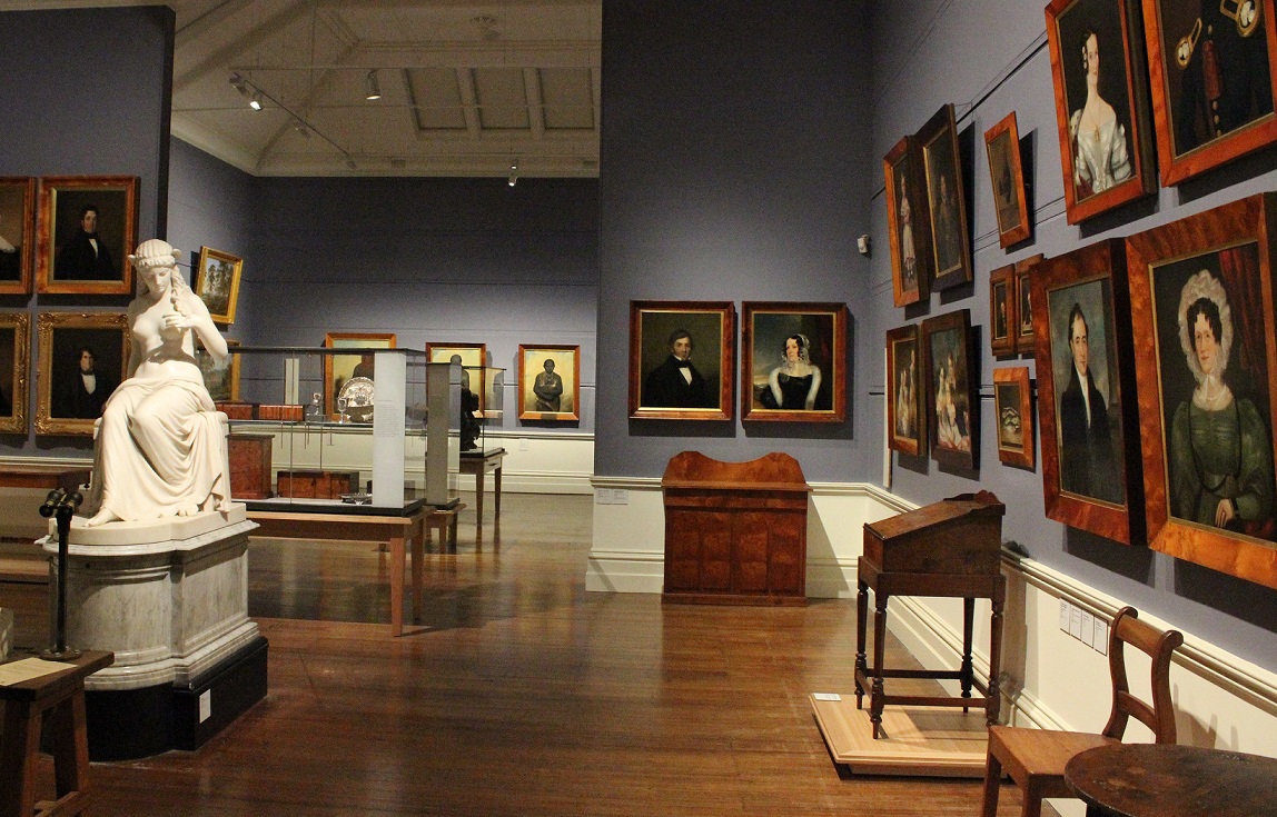
The Tasmanian Museum and Art Gallery (TMAG) is a museum located in Hobart, Tasmania. The museum was established in 1846, by the Royal Society of Tasmania, the oldest Royal Society outside England. The TMAG receives 400,000 visitors annually. History The museum was officially created in 1848, though the collections it housed were much created earlier. It merged a number of disparate collections, including that of the Royal Society of Tasmania. The Mechanics' Institution of Hobart, Van Diemen's Land Agricultural Society and Van Diemen's Land Scientific Society had each attempted to found a museum earlier than this date, the most successful of these being the Mechanics' Institution, but little record remains of what happened to these efforts. Sir John Eardley-Wilmot, 1st Baronet, during his period was Lt. Governor of Tasmania, did much of the work that led to the modern museum. The museum was noted as first being an established institution in the 1848 minutes of the Royal Soc ... [...More Info...] [...Related Items...] OR: [Wikipedia] [Google] [Baidu] |
Islands Of Tasmania
An island or isle is a piece of subcontinental land completely surrounded by water. Very small islands such as emergent land features on atolls can be called islets, skerries, cays or keys. An island in a river or a lake island may be called an eyot or ait, and a small island off the coast may be called a holm. Sedimentary islands in the Ganges Delta are called chars. A grouping of geographically or geologically related islands, such as the Philippines, is referred to as an archipelago. There are two main types of islands in the sea: continental islands and oceanic islands. There are also artificial islands (man-made islands). There are about 900,000 official islands in the world. This number consists of all the officially-reported islands of each country. The total number of islands in the world is unknown. There may be hundreds of thousands of tiny islands that are unknown and uncounted. The number of sea islands in the world is estimated to be more than 200,000. The ... [...More Info...] [...Related Items...] OR: [Wikipedia] [Google] [Baidu] |
List Of Islands Of Tasmania
Tasmania is the smallest and southernmost state of Australia. The Tasmanian mainland itself is an island, with an area of - 94.1% of the total land area of the state. The other islands have a combined area of , for a cumulative total of 99.75% of the state. About 1000 smaller islands make up the remaining of total land area. Classification structure A considerable number of Tasmanian islands are identified as being in island groups, including the Breaksea, Furneaux, Hogan, Hunter, Kent, Maatsuyker, Mutton Bird, New Year, Swainson, Trumpeter, and Waterhouse groups. Regions Similar to Regions of Tasmania the islands are generally distinguished by the coast that they are adjacent to, as well as Bass Strait - the main separation from the mainland state of Victoria. Five regions are aligned to the north coast and Bass Strait - ''North West Islands'' (including King Island), ''North Coast Islands'', ''North Bass Strait Islands'', ''Furneaux Islands'', and ''North East Islands ... [...More Info...] [...Related Items...] OR: [Wikipedia] [Google] [Baidu] |
European Rabbit
The European rabbit (''Oryctolagus cuniculus'') or coney is a species of rabbit native to the Iberian Peninsula (including Spain, Portugal, and southwestern France), western France, and the northern Atlas Mountains in northwest Africa. It has been widely introduced elsewhere, often with devastating effects on local biodiversity. Its decline in its native range due to myxomatosis, rabbit calicivirus, overhunting and habitat loss has caused the decline of the Iberian lynx (''Lynx pardinus'') and Spanish imperial eagle (''Aquila adalberti''). It is known as an invasive species because it has been introduced to countries on all continents with the exception of Antarctica, and has caused many problems within the environment and ecosystems; in particular, European rabbits in Australia have had a devastating impact, due in part to the lack of natural predators there. The European rabbit is well known for digging networks of burrows, called warrens, where it spends most of its ... [...More Info...] [...Related Items...] OR: [Wikipedia] [Google] [Baidu] |
Eucalypt
Eucalypt is a descriptive name for woody plants with capsule fruiting bodies belonging to seven closely related genera (of the tribe Eucalypteae) found across Australasia: ''Eucalyptus'', '' Corymbia'', '' Angophora'', '' Stockwellia'', '' Allosyncarpia'', '' Eucalyptopsis'' and ''Arillastrum''. Taxonomy For an example of changing historical perspectives, in 1991, largely genetic evidence indicated that some prominent ''Eucalyptus'' species were actually more closely related to ''Angophora'' than to other eucalypts; they were accordingly split off into the new genus ''Corymbia''. Although separate, all of these genera and their species are allied and it remains the standard to refer to the members of all seven genera ''Angophora'', ''Corymbia'', ''Eucalyptus'', ''Stockwellia'', ''Allosyncarpia'', ''Eucalyptopsis'' and ''Arillastrum'' as "eucalypts" or as the eucalypt group. The extant genera ''Stockwellia'', ''Allosyncarpia'', ''Eucalyptopsis'' and ''Arillastrum'' comprise s ... [...More Info...] [...Related Items...] OR: [Wikipedia] [Google] [Baidu] |
Allocasuarina
''Allocasuarina'' is a genus of trees in the flowering plant family Casuarinaceae. They are endemic to Australia, occurring primarily in the south. Like the closely related genus '' Casuarina'', they are commonly called sheoaks or she-oaks. Wilson and Johnson distinguish the two very closely related genera, '' Casuarina'' and ''Allocasuarina'' on the basis of: *'' Casuarina'': the mature samaras being grey or yellow-brown, and dull; cone bracteoles thinly woody, prominent, extending well beyond cone body, with no dorsal protuberance; *''Allocasuarina'': the mature samaras being red-brown to black, and shiny; cone bracteoles thickly woody and convex, mostly extending only slightly beyond cone body, and usually with a separate angular, divided or spiny dorsal protuberance. Description They are trees or shrubs that are notable for their long, segmented branchlets that function as leaves. Formally termed cladodes, these branchlets somewhat resemble pine needles, although sheoak ... [...More Info...] [...Related Items...] OR: [Wikipedia] [Google] [Baidu] |
Acacia Melanoxylon
''Acacia melanoxylon'', commonly known as the Australian blackwood, is an ''Acacia'' species native in South eastern Australia. The species is also known as Blackwood, hickory, mudgerabah, Tasmanian blackwood, or blackwood acacia. The tree belongs to the ''Plurinerves'' section of ''Acacia'' and is one of the most wide-ranging tree species in eastern Australia and is quite variable mostly in the size and shape of the phyllodes. Description The tree is able to grow to a height of around and has a bole that is approximately in diameter. It has deeply fissured, dark-grey to black coloured bark that appears quite scaly on older trees. It has angular and ribbed branches The bark on older trunks is dark greyish-black in colour, deeply fissured and somewhat scaly. Younger branches are glabrous, ribbed and angular to flattened near the greenish coloured tips. The stems of younger plants are occasionally hairy. Like most species of ''Acacia'' it has phyllodes rather than true leav ... [...More Info...] [...Related Items...] OR: [Wikipedia] [Google] [Baidu] |
Tasman Peninsula
The Tasman Peninsula, officially Turrakana / Tasman Peninsula, is a peninsula located in south-east Tasmania, Australia, approximately by the Arthur Highway, south-east of Hobart. The Tasman Peninsula lies south and west of Forestier Peninsula, to which it connects via an isthmus called Eaglehawk Neck. This in turn is joined to the rest of Tasmania by an isthmus called East Bay Neck, near the town of Dunalley, approximately by road from Hobart. The peninsula is surrounded by water; to the north by Norfolk Bay, to the northwest by Frederick Henry Bay, to the west and south by Storm Bay, and to the east by the Tasman Sea. Description Many smaller towns are also located on the Tasman Peninsula the largest of which are Nubeena and Koonya. Smaller centres include Premaydena, Highcroft and Stormlea. The Conservation Park, located on the main highway at Taranna, is a popular local visitor attraction along with the World Heritage Port Arthur Historic Site and a number of bea ... [...More Info...] [...Related Items...] OR: [Wikipedia] [Google] [Baidu] |
Norfolk Bay
The Norfolk Bay is a body of water in the south east of Tasmania, Australia. The north west aspect of Norfolk Bay is continuous with Frederick Henry Bay. The north east aspect of Norfolk Bay is continuous with Blackman Bay via the Denison Canal. History The first recorded Anglo-Saxon encounter with Norfolk bay was by Matthew Flinders in 1798. :"Norfolk Bay was discovered by Willaumetz, an officer of D'Entrecasteaux, in 1792, who becoming short of provisions, could only get as far as Primrose Point. He did not know then whether this new bay had communication with Tasman's Frederick Hendrick Bay (Blackman's, or Marion Bay) ; and on D'Entrecasteaux's map Tasman Peninsula is called Tasman Island. Flinders in 1798 (''the source erroneously states 1878'') visited the Bay, giving it the name of Norfolk, after the small schoonerin which he was sailing with Bass. In 1802 Baudin examined the bay, and, unaware of Flinders's nomenclature, gave it the name of Port Buache, after the French ... [...More Info...] [...Related Items...] OR: [Wikipedia] [Google] [Baidu] |
Australia
Australia, officially the Commonwealth of Australia, is a sovereign ''Sovereign'' is a title which can be applied to the highest leader in various categories. The word is borrowed from Old French , which is ultimately derived from the Latin , meaning 'above'. The roles of a sovereign vary from monarch, ruler or ... country comprising the mainland of the Australian continent, the island of Tasmania, and numerous smaller islands. With an area of , Australia is the largest country by area in Oceania and the world's sixth-largest country. Australia is the oldest, flattest, and driest inhabited continent, with the least fertile soils. It is a megadiverse country, and its size gives it a wide variety of landscapes and climates, with deserts in the centre, tropical Forests of Australia, rainforests in the north-east, and List of mountains in Australia, mountain ranges in the south-east. The ancestors of Aboriginal Australians began arriving from south east Asia approx ... [...More Info...] [...Related Items...] OR: [Wikipedia] [Google] [Baidu] |
Island
An island or isle is a piece of subcontinental land completely surrounded by water. Very small islands such as emergent land features on atolls can be called islets, skerries, cays or keys. An island in a river or a lake island may be called an eyot or ait, and a small island off the coast may be called a holm. Sedimentary islands in the Ganges Delta are called chars. A grouping of geographically or geologically related islands, such as the Philippines, is referred to as an archipelago. There are two main types of islands in the sea: continental islands and oceanic islands. There are also artificial islands (man-made islands). There are about 900,000 official islands in the world. This number consists of all the officially-reported islands of each country. The total number of islands in the world is unknown. There may be hundreds of thousands of tiny islands that are unknown and uncounted. The number of sea islands in the world is estimated to be more than 200,000. ... [...More Info...] [...Related Items...] OR: [Wikipedia] [Google] [Baidu] |


_(Sylvilagus_palustris).jpg)


