|
Oases Of China
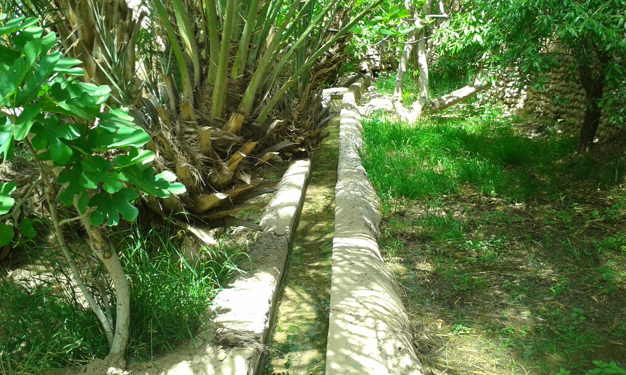
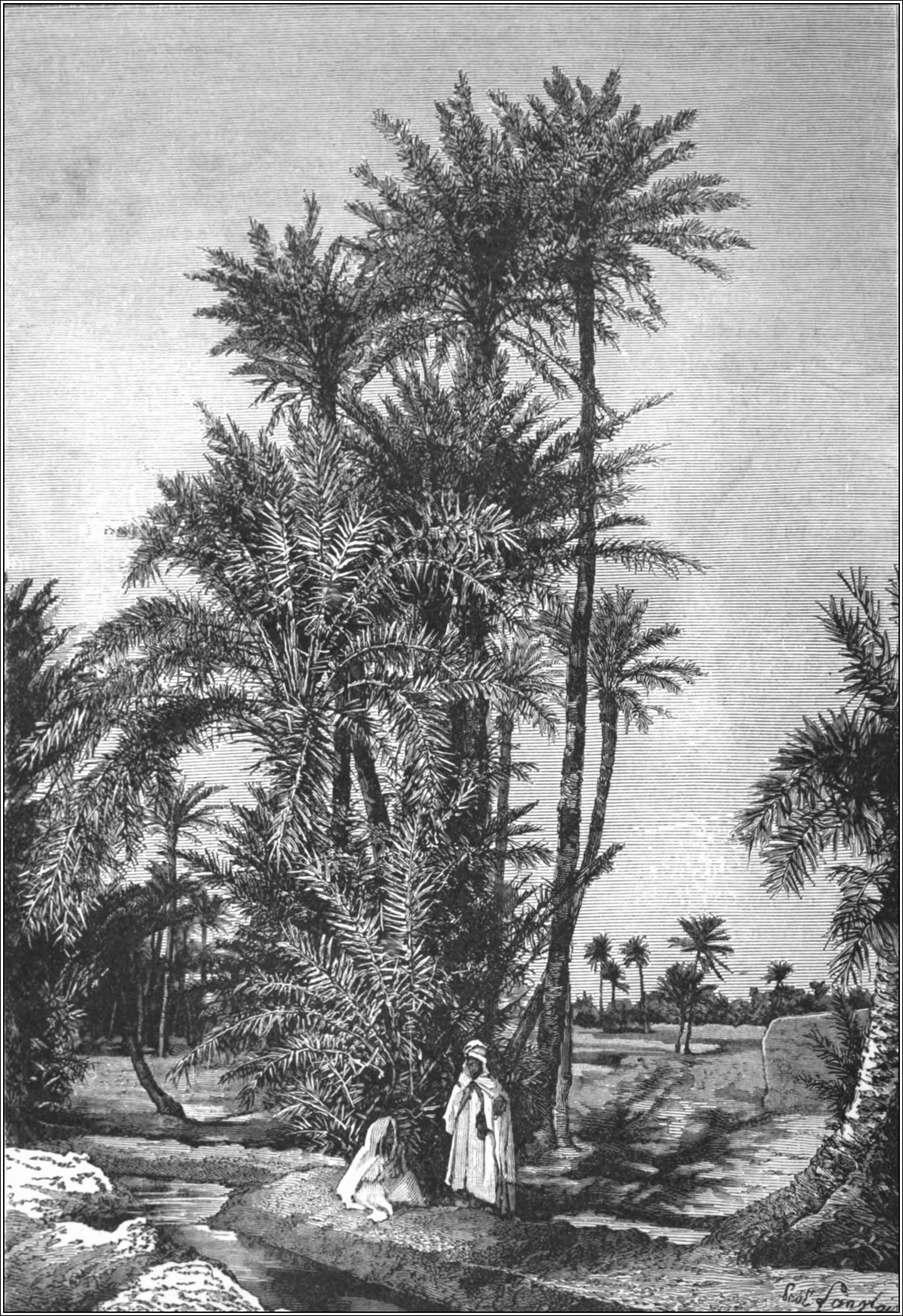
In ecology, an oasis (; : oases ) is a fertile area of a desert or semi-desert environmentBattesti, Vincent (2005) Jardins au désert: Évolution des pratiques et savoirs oasiens: Jérid tunisien. Paris: IRD éditions. . that sustains plant life and provides habitat for animals. Surface water may be present, or water may only be accessible from wells or underground channels created by humans. In geography, an oasis may be a current or past rest stop on a transportation route, or less-than-verdant location that nonetheless provides access to underground water through deep wells created and maintained by humans. Although they depend on a natural condition, such as the presence of water that may be stored in reservoirs and us ... [...More Info...] [...Related Items...] OR: [Wikipedia] [Google] [Baidu] |
Ein Gedi
Ein Gedi (, ), also spelled En Gedi, meaning "Spring (hydrology), spring of the goat, kid", is an oasis, an Archaeological site, archeological site and a nature reserve in Israel, located west of the Dead Sea, near Masada and the Qumran Caves. Ein Gedi (kibbutz), Ein Gedi, a kibbutz, was established nearby in 1954. Ein Gedi is a popular tourist attraction and was listed in 2016 as one of the most popular nature sites in Israel. The site attracts about one million visitors a year. Etymology The name ''Ein Gedi'' is composed of two words (In both Arabic and Hebrew language, Hebrew): ''ein'' means spring or a fountain and ''gǝdi'' means goat-kid. Ein Gedi thus means "kid spring" or "fountain of the kid". The Hebrew name is also transliterated as 'En Gedi, En-gedi, Eggadi, Engaddi, and Engedi; the Arabic name as 'Ain Jidi and 'Ein Jidi.En Gedi at bibleplaces.com ... [...More Info...] [...Related Items...] OR: [Wikipedia] [Google] [Baidu] |
Turpan
Turpan () or Turfan ( zh, s=吐鲁番) is a prefecture-level city located in the east of the Autonomous regions of China, autonomous region of Xinjiang, China. It has an area of and a population of 693,988 (2020). The historical center of the prefectural area has shifted a number of times, from Jiaohe ruins, Yar-Khoto (Jiaohe, to the west of modern Turpan) to Qocho (Gaochang, to the southeast of Turpan) and to Turpan itself. Names Historically, many settlements in the Tarim Basin, being situated between Chinese, Turkic, Mongolian, and Persian language users, have a number of cognate names. Turpan or Turfan is one such example. The original name of the city is unknown. The form Turfan, while older than Turpan, was not used until the middle of the 2nd millennium CE and its use became widespread only in the post-Mongol period. History Turpan has long been the centre of a fertile oasis (with water provided by the ''Turpan water system, karez'' canal system) and an important tra ... [...More Info...] [...Related Items...] OR: [Wikipedia] [Google] [Baidu] |
Silk Road
The Silk Road was a network of Asian trade routes active from the second century BCE until the mid-15th century. Spanning over , it played a central role in facilitating economic, cultural, political, and religious interactions between the Eastern world, Eastern and Western worlds. The name "Silk Road" was coined in the late 19th century, but some 20th- and 21st-century historians instead prefer the term Silk Routes, on the grounds that it more accurately describes the intricate web of land and sea routes connecting Central Asia, Central, East Asia, East, South Asia, South, Southeast Asia, Southeast, and West Asia as well as East Africa and Southern Europe. The Silk Road derives its name from the highly lucrative trade of silk textiles that were History of Silk, primarily produced in China. The network began with the expansion of the Han dynasty (202 BCE220 CE) into Central Asia around 114 BCE, through the missions and explorations of the Chinese imperial env ... [...More Info...] [...Related Items...] OR: [Wikipedia] [Google] [Baidu] |
Tangier
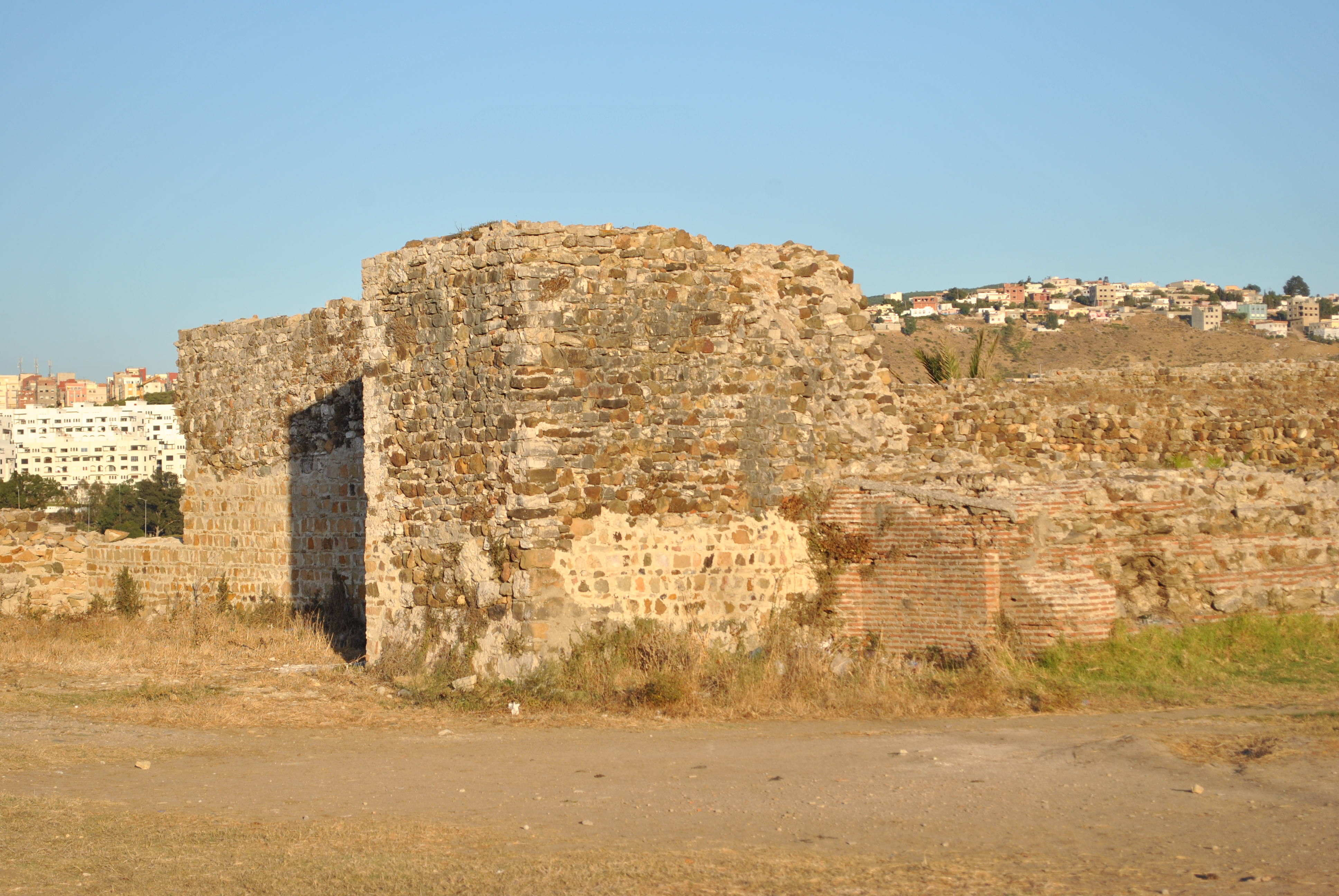
Tangier ( ; , , ) is a city in northwestern Morocco, on the coasts of the Mediterranean Sea and the Atlantic Ocean. The city is the capital city, capital of the Tanger-Tetouan-Al Hoceima region, as well as the Tangier-Assilah Prefecture of Morocco. Many civilisations and cultures have influenced the history of Tangier, starting from before the 10th centuryBCE. Starting as a strategic Phoenician town and trading centre, Tangier has been a nexus for many cultures. In 1923, it became an Tangier International Zone, international zone managed by colonialism in Africa, colonial powers and became a destination for many European and American diplomats, spies, Bohemianism, bohemians, writers and businessmen. That status came to an end with Moroccan independence, in phases between 1956 and 1960. By the early 21st century, Tangier was undergoing rapid development and modernisation. Projects include tourism projects along the bay, a modern business district called Tangier City Centre, an ai ... [...More Info...] [...Related Items...] OR: [Wikipedia] [Google] [Baidu] |
Niger River
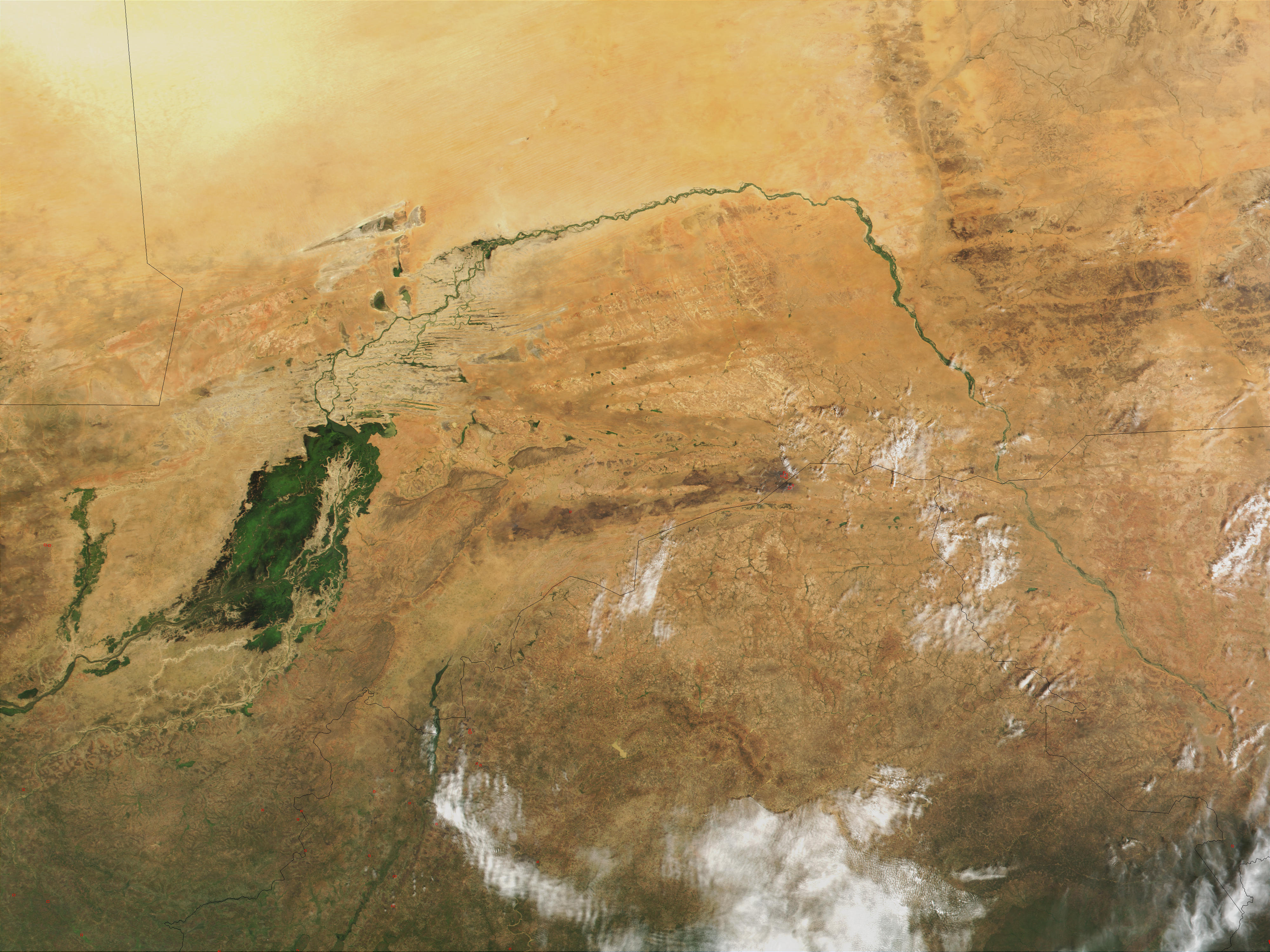
The Niger River ( ; ) is the main river of West Africa, extending about . Its drainage basin is in area. Its source is in the Guinea Highlands in south-eastern Guinea near the Sierra Leone border. It runs in a crescent shape through Mali, Niger, on the border with Benin and then through Nigeria, discharging through a massive River delta, delta, known as the Niger Delta, into the Gulf of Guinea in the Atlantic Ocean. The Niger is the third-longest river in Africa, exceeded by the Nile and the Congo River. Its main tributary is the Benue River. Etymology The Niger has different names in the different languages of the region: * Fula language, Fula: ''Maayo Jaaliba'' * Manding languages, Manding: ''Jeliba'' or ''Joliba'' "great river" * Tuareg languages, Tuareg: ''Eġərəw n-Igərǝwăn'' "river of rivers" * Songhay languages, Songhay: ''Isa'' "the river" * Zarma language, Zarma: ''Isa Beeri'' "great river" * Hausa language, Hausa: ''Kwara'' *Nupe language, Nupe: ''Èdù'' ... [...More Info...] [...Related Items...] OR: [Wikipedia] [Google] [Baidu] |
Libya
Libya, officially the State of Libya, is a country in the Maghreb region of North Africa. It borders the Mediterranean Sea to the north, Egypt to Egypt–Libya border, the east, Sudan to Libya–Sudan border, the southeast, Chad to Chad–Libya border, the south, Niger to Libya–Niger border, the southwest, Algeria to Algeria–Libya border, the west, and Tunisia to Libya–Tunisia border, the northwest. With an area of almost , it is the 4th-largest country in Africa and the Arab world, and the List of countries and outlying territories by total area, 16th-largest in the world. Libya claims 32,000 square kilometres of southeastern Algeria, south of the Libyan town of Ghat, Libya, Ghat. The largest city and capital is Tripoli, Libya, Tripoli, which is located in northwestern Libya and contains over a million of Libya's seven million people. Libya has been inhabited by Berber people, Berbers since the late Bronze Age as descendants from Iberomaurusian and Capsian cultures. I ... [...More Info...] [...Related Items...] OR: [Wikipedia] [Google] [Baidu] |
Kufra
Kufra () is a basinBertarelli (1929), p. 514. and oasis group in the Kufra District of southeastern Cyrenaica in Libya. At the end of the 19th century, Kufra became the centre and holy place of the Senussi order. It also played a minor role in the Western Desert Campaign of World War II. It is located in a particularly isolated area, not only because it is in the middle of the Sahara Desert but also because it is surrounded on three sides by depressions which make it dominate the passage of the east-west land traffic across the desert. For the colonial Italians, it was also important as a station on the north-south air route to Italian East Africa. These factors, along with Kufra's dominance of the southeastern Cyrenaica region of Libya, highlight the strategic importance of the oasis and why it was a point of conflict during World War II. Etymology The folk etymology associates the word "Kufra" as coming from the Arabic ''word kafir'' (كافر), meaning "disbeliever" or " ... [...More Info...] [...Related Items...] OR: [Wikipedia] [Google] [Baidu] |
Ghadames
Ghadames or Ghadamis ( Ghadamsi: ⵄⴰⴷⴻⵎⴻⵙ / ''Ɛadēməs'' �adeːməs , ) is an oasis town in the Nalut District of the Tripolitania region in northwestern Libya. Ghadamès, known as 'the pearl of the desert', stands in an oasis. It is one of the oldest pre-Saharan cities and an outstanding example of a traditional settlement. Its domestic architecture is characterized by a vertical division of functions: the ground floor used to store supplies; the first floor is for the family, overhanging covered alleys that create what is almost an underground network of passageways; and, at the top, open-air terraces reserved for the women. Geography Ghadames lies roughly to the southwest of Tripoli, near the borders with Algeria and Tunisia. Ghadames borders Illizi Province, Algeria and Tataouine Governorate, Tunisia. The oasis has a population of around 10,000, mainly Berbers. The old part of the town, which is surrounded by a city wall, has been declared a UNESC ... [...More Info...] [...Related Items...] OR: [Wikipedia] [Google] [Baidu] |
Awjila
Awjila (Arabic: أوجلة; Latin: ''Augila'') is an oasis town in the Al Wahat District in the Cyrenaica region of northeastern Libya. Since classical times, it has been known as a place where high-quality dates are farmed. The oasis was mentioned by the Greek historian Herodotus (c. 484–425 BCE), who referred to it as ''Augila''. Historically, Awjila was one of the ancient homelands of the Toubou (Goran), an Indigenous people, and was abandoned following a Berber invasion that occurred long before Herodotus’s time. The name Augila originates from the Toubou term ''Wajulo'', meaning "lowland," and continues to preserve the oasis’s Indigenous linguistic heritage. Since the Arab conquest in the 7th century, Islam has played an important role in the community. The oasis is located on the east-west caravan route between Egypt and Tripoli, Libya, and the north-south route between Benghazi and the Sahel between Lake Chad and Darfur. In the past, it was an important trading ce ... [...More Info...] [...Related Items...] OR: [Wikipedia] [Google] [Baidu] |
Ksar
Ksar or qṣar (), in plural ksour or qsour (), is a type of fortified village in North Africa, usually found in the regions predominantly or traditionally inhabited by Berbers (Amazigh). The equivalent Berber languages, Berber term used is ' (singular) or (plural). Etymology The Arabic ''qaṣr'' () was probably borrowed from the Latin word . Architecture Ksour in the Maghreb typically consist of attached houses, often having a Fortified Granaries of Aures, fortified communal granary like those in Algeria, or the ghorfa and agadir (granary), agadir types known in Tunisia and Morocco respectively, beside other structures like a mosque, hammam, oven, and shops. Ksur or igherman are widespread among the oasis populations of North Africa. Ksars are sometimes situated in mountain locations to make defense easier; they often are entirely within a single, continuous wall. The building material of the entire structure usually is adobe, or cut stone and adobe. The idea of the ks ... [...More Info...] [...Related Items...] OR: [Wikipedia] [Google] [Baidu] |


