|
Cuilapan
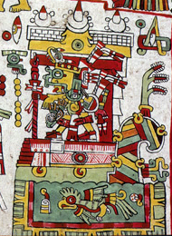
Cuilapan de Guerrero is a town and Municipalities of Oaxaca, municipality located in the central valley region of Oaxaca in southern Mexico. It is to the south of the Oaxaca, Oaxaca, capital city of Oaxaca on the road leading to Villa de Zaachila, and is in the Centro District, Oaxaca, Centro District in the Valles Centrales de Oaxaca, Valles Centrales region. Cuilapan, originally called Sahayuca, has been a permanent settlement since at least 500 BCE. It developed into a city state but was absorbed by Monte Albán until between 600 and 900 CE. After this, Cuilapan returned to being an independent city-state, equal to a number of other important city states in the area.Taylor, pp. 21–22 After the Spanish conquest, Cuilapan had a population of over 40,000 people with formidable social, economic and cultural institutions.Taylor, p. 20Taylor, p. 17 For this reason, a major monastery dedicated to James, son of Zebedee, James the apostle was established there in the 1550s in order to ... [...More Info...] [...Related Items...] OR: [Wikipedia] [Google] [Baidu] |
Centro District, Oaxaca
Centro District is located in the Valles Centrales de Oaxaca, Valles Centrales Region of the State of Oaxaca, Mexico. The district includes the state capital Oaxaca, Oaxaca, Oaxaca and satellite towns. The district has an average elevation of 1,550 meters. The climate is mild, with average temperatures ranging from 16°C in Winter to 25°C in spring. Municipalities The district includes the following municipalities: *Ánimas Trujano, Oaxaca, Ánimas Trujano *Cuilapan de Guerrero *Oaxaca de Juárez *San Agustín de las Juntas *San Agustín Yatareni *San Andrés Huayapam *San Andrés Ixtlahuaca *San Antonio de la Cal *San Bartolo Coyotepec *San Jacinto Amilpas *San Pedro Ixtlahuaca *San Raymundo Jalpan *San Sebastián Tutla *Santa Cruz Amilpas *Santa Cruz Xoxocotlán *Santa Lucía del Camino *Santa María Atzompa *Santa María Coyotepec *Santa María del Tule *Santo Domingo Tomaltepec *Tlalixtac de Cabrera File:Oaxaca at night.jpg, A view of city of Oaxaca de Juarez from the Cer ... [...More Info...] [...Related Items...] OR: [Wikipedia] [Google] [Baidu] |
Oaxaca
Oaxaca, officially the Free and Sovereign State of Oaxaca, is one of the 32 states that compose the political divisions of Mexico, Federative Entities of the Mexico, United Mexican States. It is divided into municipalities of Oaxaca, 570 municipalities, of which 418 (almost three quarters) are governed by the system of (customs and traditions) with recognized local forms of self-governance. Its capital city is Oaxaca City, Oaxaca de Juárez. Oaxaca is in southern Mexico. It is bordered by the states of Guerrero to the west, Puebla to the northwest, Veracruz to the north, and Chiapas to the east. To the south, Oaxaca has a significant coastline on the Pacific Ocean. The state is best known for #Indigenous peoples, its indigenous peoples and cultures. The most numerous and best known are the Zapotec peoples, Zapotecs and the Mixtecs, but 16 are officially recognized. These cultures have survived better than most others in Mexico due to the state's rugged and isolating terrain. M ... [...More Info...] [...Related Items...] OR: [Wikipedia] [Google] [Baidu] |
Municipalities Of Oaxaca
Oaxaca is a state in Southeastern Mexico that is divided into 570 municipalities, more than any other state in Mexico. According to Article 113 of the state's constitution, the municipalities are grouped into 30 judicial and tax districts to facilitate the distribution of the state's revenues. It is the only state in Mexico with this particular judicial and tax district organization. Oaxaca is the tenth most populated state with inhabitants as of the 2020 Mexican census and the fifth largest by land area spanning . Municipalities in Oaxaca have some administrative autonomy from the state according to the 115th article of the 1917 Constitution of Mexico. Every three years, citizens elect a municipal president () by a plurality voting system who heads a concurrently elected municipal council () responsible for providing all the public services for their constituents. The municipal council consists of a variable number of trustees and councillors (). Municipalities are ... [...More Info...] [...Related Items...] OR: [Wikipedia] [Google] [Baidu] |
Mixtec
The Mixtecs (), or Mixtecos, are Indigenous Mesoamerican peoples of Mexico inhabiting the region known as La Mixteca of Oaxaca and Puebla as well as La Montaña Region and Costa Chica of Guerrero, Costa Chica Regions of the state of Guerrero. The Mixtec culture was the main Mixtec civilization, which lasted from around 1500 BCE until being conquered by the Spanish in 1523. The Mixtec region is generally divided into three subregions based on geography: the Mixteca Alta (Upper Mixtec or Ñuu Savi Sukun), the Mixteca Baja (Lower Mixtec or Ñuu I'ni), and the La Mixteca, Mixteca Costa (Coastal Mixtec or Ñuu Andivi). The Alta is drier with higher elevations, while the Baja is lower in elevation, hot but dry, and the Costa is also low in elevation but much more humid and tropical. The Alta has seen the most study by archaeologists, with evidence for human settlement going back to the Archaic period in Mesoamerica, Archaic and Early Mesoamerican chronology#Preclassic Era or Form ... [...More Info...] [...Related Items...] OR: [Wikipedia] [Google] [Baidu] |
Vicente Guerrero
Vicente Ramón Guerrero Saldaña (; baptized 10 August 1782 – 14 February 1831) was a Mexican military officer from 1810–1821 and a statesman who became the nation's second president in 1829. He was one of the leading generals who fought against Spain during the Mexican War of Independence. According to historian Theodore G. Vincent, Vicente Guerrero lived alongside indigenous people in Tlaltelulco and had the ability to speak Spanish and the languages of the Indigenous. During his presidency, he abolished slavery in Mexico.Green, Stanley C. ''The Mexican Republic: The First Decade, 1823–1832''. Pittsburgh: University of Pittsburgh Press 1987. p. 119. Guerrero was deposed in a rebellion by his Vice-President Anastasio Bustamante. Early life Vicente Guerrero was born in Tixtla, a town approximately 100 kilometers inland from the port of Acapulco, in the Sierra Madre del Sur. He was the son of María Guadalupe Rodríguez Saldaña, and Juan Pedro Guerrero. His father's fam ... [...More Info...] [...Related Items...] OR: [Wikipedia] [Google] [Baidu] |
Villa De Zaachila
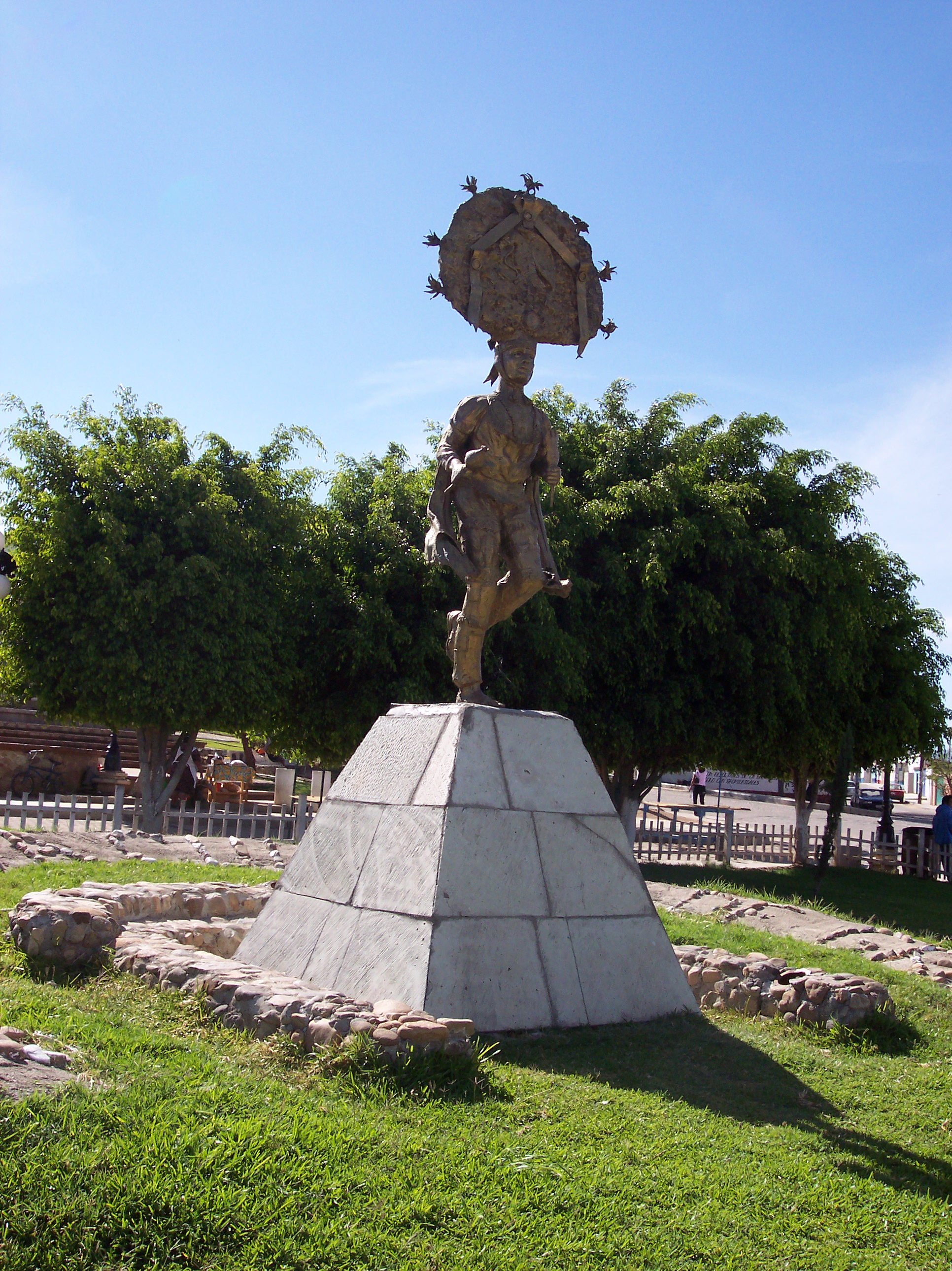
Villa de Zaachila is a town and municipalities of Oaxaca, municipality in Oaxaca, Mexico, from Oaxaca City. It is part of the Zaachila District, Oaxaca, Zaachila District in the west of the Valles Centrales de Oaxaca, Valles Centrales Region. In the pre-Hispanic era, it was the main city-state for the Valley of Oaxaca after the fall of Monte Albán, and the Zaachila Zapotecs were the prominent political force for much of the Valley of Oaxaca when the Spanish arrived. Since then, it has been mostly quiet, but political unrest has been prominent since 2006 and the municipality Dual power, has two parallel governments. Zaachila is famous for its Thursday open air markets, which spreads over much of the center of town and has been a tradition since pre-Hispanic times. It is home to a mostly unexplored archeological site and is known for a dance called the Danza de los Zancudos, or Dance of the Stilts. The official name is Villa de Zaachila (Town of Zaachila). The name Zaachila i ... [...More Info...] [...Related Items...] OR: [Wikipedia] [Google] [Baidu] |
Monte Albán
Monte Albán is a large pre-Columbian archaeological site in the Santa Cruz Xoxocotlán Municipality in the southern Mexico, Mexican state of Oaxaca (17.043° N, 96.767°W). The site is located on a low mountainous range rising above the plain in the central section of the Valley of Oaxaca, where the latter's northern Etla, eastern Tlacolula, and southern Zimatlán and Ocotlán (Oaxaca), Ocotlán (or Valle Grande (Oaxaca), Valle Grande) branches meet. The present-day state capital Oaxaca City is located approximately east of Monte Albán. The partially excavated civic ceremonial center of the Monte Albán site is situated atop an artificially leveled ridge. It has an elevation of about above mean sea level and rises some from the valley floor, in an easily defensible location. In addition to the monumental core, the site is characterized by several hundred artificial terraces, and a dozen clusters of mounded architecture covering the entire ridgeline and surrounding flanks. Th ... [...More Info...] [...Related Items...] OR: [Wikipedia] [Google] [Baidu] |
Municipalities Of Mexico
Municipalities () are the administrative divisions under the List of states of Mexico, states of Mexico according to the Constitution of Mexico, constitution. Municipalities are considered as the second-level administrative divisions by the Federal government of Mexico, federal government. However, some state regulations have designed intrastate regions to administer their own municipalities. Municipalities are further divided into Localities of Mexico, localities in the structural hierarchy of administrative divisions of Mexico. As of December 2024, there are 2,462 municipalities in Mexico. In Mexico, municipalities should not be confused with cities (). Cities are Localities of Mexico, locality-level divisions that are administered by the municipality. Although some List of cities in Mexico, larger cities are consolidated with its own municipality and form a single level of governance. In addition, the 16 Boroughs of Mexico City, boroughs of Mexico City are considered municipali ... [...More Info...] [...Related Items...] OR: [Wikipedia] [Google] [Baidu] |
Santiago Apóstol Oaxaca
Santiago (, ; ), also known as Santiago de Chile (), is the capital and largest city of Chile and one of the largest cities in the Americas. It is located in the country's central valley and is the center of the Santiago Metropolitan Region, which has a population of seven million, representing 40% of Chile's total population. Most of the city is situated between above sea level. Founded in 1541 by the Spanish conquistador Pedro de Valdivia, Santiago has served as the capital city of Chile since colonial times. The city features a downtown core characterized by 19th-century neoclassical architecture and winding side streets with a mix of Art Deco, Gothic Revival, and other styles. Santiago's cityscape is defined by several standalone hills and the fast-flowing Mapocho River, which is lined by parks such as Parque Bicentenario, Parque Forestal, and Parque de la Familia. The Andes Mountains are visible from most parts of the city and contribute to a smog problem, particu ... [...More Info...] [...Related Items...] OR: [Wikipedia] [Google] [Baidu] |
Greater Mexico City
Greater Mexico City is the conurbation around Mexico City, officially called the Metropolitan Area of the Valley of Mexico (). It encompasses Mexico City itself and 60 adjacent municipalities of Mexico, municipalities of the State of Mexico and Hidalgo (state), Hidalgo. Mexico City's metropolitan area is the economic, political, and cultural hub of Mexico. In recent years it has reduced its relative importance in domestic manufacturing, but has kept its dominant role in the country's economy thanks to an expansion of its tertiary activities. The area is also one of the powerhouse regions of Latin America, generating approximately $200 billion in GDP growth or 10 percent of the regional total. , 21,804,515 people lived in Greater Mexico City, making it the List of North American metropolitan areas by population, largest metropolitan area in North America. Covering an area of , it is surrounded by thin strips of highlands separating it from other adjacent metropolitan areas, togethe ... [...More Info...] [...Related Items...] OR: [Wikipedia] [Google] [Baidu] |
San Pedro Ixtlahuaca
San Pedro Ixtlahuaca is a town and municipality in Oaxaca in southeastern Mexico. It is the fastest growing municipality in Oaxaca in terms of population, with a population change of +113.3% going from the 2010 consensus to the 2020 consensus.. It is part of the Centro District Centro District is located in the Valles Centrales Region of the State of Oaxaca, Mexico. The district includes the state capital Oaxaca and satellite towns. The district has an average elevation of 1,550 meters. The climate is mild, with averag ... in the Valles Centrales region. References {{Centro District, Oaxaca Municipalities of Oaxaca ... [...More Info...] [...Related Items...] OR: [Wikipedia] [Google] [Baidu] |


