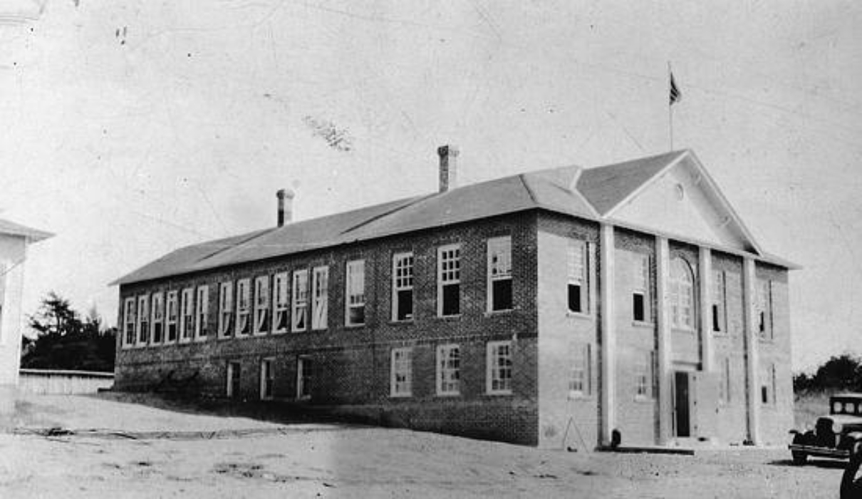
|
Crows Nest Point
Crows Nest Point is a cape in Stafford County, in the U.S. state of Virginia Virginia, officially the Commonwealth of Virginia, is a state in the Mid-Atlantic and Southeastern regions of the United States, between the East Coast of the United States, Atlantic Coast and the Appalachian Mountains. The geography an .... Crows Nest Point was named after a black boat that was regularly harbored there in the 19th century. References Headlands of Virginia Landforms of Stafford County, Virginia {{StaffordCountyVA-geo-stub ... [...More Info...] [...Related Items...] OR: [Wikipedia] [Google] [Baidu] |
Cape (geography)
In geography, a cape is a headland or a promontory of large size extending into a body of water, usually the sea.Whittow, John (1984). ''Dictionary of Physical Geography''. London: Penguin, 1984, p. 80. . A cape usually represents a marked change in trend of the coastline, often making them important landmarks in sea navigation. This also makes them prone to natural forms of erosion Erosion is the action of surface processes (such as water flow or wind) that removes soil, rock, or dissolved material from one location on the Earth's crust, and then transports it to another location where it is deposited. Erosion is di ..., mainly tidal actions, which results in them having a relatively short geological lifespan. Capes can be formed by glaciers, volcanoes, and changes in sea level. Erosion plays a large role in each of these methods of formation. List of some well-known capes Gallery File:Cape Cornwall.jpg, Cape Cornwall, England File:Nasa photo cape fear.jp ... [...More Info...] [...Related Items...] OR: [Wikipedia] [Google] [Baidu] |
Stafford County, Virginia
Stafford County is located in the Commonwealth of Virginia. It is a suburb outside of Washington D.C. It is approximately south of D.C. It is part of the Northern Virginia region, and the D.C area. It is one of the fastest growing, and highest-income counties in America. As of the 2020 census, the population sits at 156,927. Its county seat is Stafford. Located across the Rappahannock River from the City of Fredericksburg, Stafford County is part of the Washington-Arlington-Alexandria, DC-VA-MD-WV Metropolitan Statistical Area. In 2006, and again in 2009, Stafford was ranked by ''Forbes'' magazine as the 11th highest-income county in the United States. According to a Census Bureau report released in 2019, Stafford County is currently the sixth highest-income county in America. History For thousands of years, various cultures of indigenous peoples succeeded each other in their territories along the Potomac River and its tributaries. By the time of English colonization, the ... [...More Info...] [...Related Items...] OR: [Wikipedia] [Google] [Baidu] |
Virginia
Virginia, officially the Commonwealth of Virginia, is a state in the Mid-Atlantic and Southeastern regions of the United States, between the East Coast of the United States, Atlantic Coast and the Appalachian Mountains. The geography and climate of the Commonwealth (U.S. state), Commonwealth are shaped by the Blue Ridge Mountains and the Chesapeake Bay, which provide habitat for much of its flora and fauna. The capital of the Commonwealth is Richmond, Virginia, Richmond; Virginia Beach, Virginia, Virginia Beach is the most-populous city, and Fairfax County, Virginia, Fairfax County is the most-populous political subdivision. The Commonwealth's population was over 8.65million, with 36% of them living in the Baltimore–Washington metropolitan area. The area's history begins with Native American tribes in Virginia, several indigenous groups, including the Powhatan. In 1607, the London Company established the Colony of Virginia as the first permanent English overseas posse ... [...More Info...] [...Related Items...] OR: [Wikipedia] [Google] [Baidu] |
Headlands Of Virginia
A headland, also known as a head, is a coastal landform, a point of land usually high and often with a sheer drop, that extends into a body of water. It is a type of promontory. A headland of considerable size often is called a cape.Whittow, John (1984). ''Dictionary of Physical Geography''. London: Penguin, 1984, pp. 80, 246. . Headlands are characterised by high, breaking waves, rocky shores, intense erosion, and steep sea cliff. Headlands and bays are often found on the same coastline. A bay is flanked by land on three sides, whereas a headland is flanked by water on three sides. Headlands and bays form on discordant coastlines, where bands of rock of alternating resistance run perpendicular to the coast. Bays form when weak (less resistant) rocks (such as sands and clays) are eroded, leaving bands of stronger (more resistant) rocks (such as chalk, limestone, and granite) forming a headland, or peninsula. Through the deposition of sediment within the bay and the erosion of the ... [...More Info...] [...Related Items...] OR: [Wikipedia] [Google] [Baidu] |


