|
Cornfields, Arizona
Cornfields is a chapter of the Navajo Nation and a census-designated place (CDP) in Apache County, Arizona, United States. The population was 255 at the 2010 census. Cornfields is part of the Fort Defiance Agency, of the Bureau of Indian Affairs; Ganado, AZ is the delegate seat for the district that encompasses the Jeddito, Cornfields, Ganado, Kinlichee, Steamboat communities at the Navajo Nation Council. Geography Cornfields is located about southwest of Burnside. According to the United States Census Bureau, the CDP has a total area of , all land. Cornfields is part of the greater Ganado area which includes Ganado, Burnside, Cornfields, Kinlichee, Wood Springs, Klagetoh, and Steamboat and the family ranches dispersed amongst these sub-areas. Education It is in the Ganado Unified School District Ganado Unified School District is located in Ganado, Arizona, Apache County. The district includes four schools: Ganado High School, Ganado Middle School, Ganado Intermediate ... [...More Info...] [...Related Items...] OR: [Wikipedia] [Google] [Baidu] |
Census-designated Place
A census-designated place (CDP) is a concentration of population defined by the United States Census Bureau for statistical purposes only. CDPs have been used in each decennial census since 1980 as the counterparts of incorporated places, such as self-governing cities, towns, and villages, for the purposes of gathering and correlating statistical data. CDPs are populated areas that generally include one officially designated but currently unincorporated community, for which the CDP is named, plus surrounding inhabited countryside of varying dimensions and, occasionally, other, smaller unincorporated communities as well. CDPs include small rural communities, edge cities, colonias located along the Mexico–United States border, and unincorporated resort and retirement communities and their environs. The boundaries of any CDP may change from decade to decade, and the Census Bureau may de-establish a CDP after a period of study, then re-establish it some decades later. Mo ... [...More Info...] [...Related Items...] OR: [Wikipedia] [Google] [Baidu] |
Ganado High School (Arizona)
Ganado High School is a high school in Ganado, Arizona. It is the only high school under the jurisdiction of the Ganado Unified School District. In addition to Ganado the district serves Burnside, Cornfields, Klagetoh Klagetoh is a census-designated place (CDP) in Apache County, Arizona, United States. The population was 242 at the 2010 census. History Missionaries transcribed “Łeeyi’ tó” as Klagetoh. “Łeeyi’ tó” translates as underground ..., Steamboat, and Toyei. References Public high schools in Arizona Education on the Navajo Nation Schools in Apache County, Arizona {{Arizona-school-stub ... [...More Info...] [...Related Items...] OR: [Wikipedia] [Google] [Baidu] |
Ganado Unified School District
Ganado Unified School District is located in Ganado, Arizona, Apache County. The district includes four schools: Ganado High School, Ganado Middle School, Ganado Intermediate School and Ganado Primary School. Ganado Primary School is known for effectively using a holistic approach to language and culture and as "one of the best examples of a school culture that supports professional development". In addition to Ganado the district serves Burnside, Cornfields, Klagetoh, Steamboat, and Toyei. Nearly 100 percent of the students in the district are Navajo, who speak Diné as their native language. Additionally 68 percent of Ganado Intermediate School's fourth, fifth, and sixth graders are classified as Limited English Proficient English as a second or foreign language is the use of English by speakers with different native languages. Language education for people learning English may be known as English as a second language (ESL), English as a foreign language (EF .... ... [...More Info...] [...Related Items...] OR: [Wikipedia] [Google] [Baidu] |
United States Census Bureau
The United States Census Bureau (USCB), officially the Bureau of the Census, is a principal agency of the U.S. Federal Statistical System, responsible for producing data about the American people and economy An economy is an area of the production, distribution and trade, as well as consumption of goods and services. In general, it is defined as a social domain that emphasize the practices, discourses, and material expressions associated with t .... The Census Bureau is part of the United States Department of Commerce, U.S. Department of Commerce and its Director of the United States Census Bureau, director is appointed by the President of the United States. The Census Bureau's primary mission is conducting the United States census, U.S. census every ten years, which allocates the seats of the U.S. House of Representatives to the U.S. state, states based on their population. The bureau's various censuses and surveys help allocate over $675 billion in federal funds e ... [...More Info...] [...Related Items...] OR: [Wikipedia] [Google] [Baidu] |
Burnside, Arizona
Burnside is a native village and census-designated place (CDP) on the Navajo Nation in Apache County, Arizona, United States. The population was 537 at the 2010 census. Geography Burnside is located at (35.755138, -109.630277). According to the United States Census Bureau, the CDP has a total area of , all land. Demographics Burnside first appeared on the 2000 U.S. Census as a census-designated place (CDP). As of the census of 2000, there were 632 people, 173 households, and 134 families residing in the CDP. The population density was . There were 216 housing units at an average density of 23.2/sq mi (9.0/km2). The racial makeup of the CDP was 92% Native American, 7% White, 1% from other races, and <1% from two or more races. 1% of the population were or [...More Info...] [...Related Items...] OR: [Wikipedia] [Google] [Baidu] |
Navajo People And Sheep
The Navajo (; British English: Navaho; nv, Diné or ') are a Native American people of the Southwestern United States. With more than 399,494 enrolled tribal members , the Navajo Nation is the largest federally recognized tribe in the United States; additionally, the Navajo Nation has the largest reservation in the country. The reservation straddles the Four Corners region and covers more than 27,325 square miles (70,000 square km) of land in Arizona, Utah, and New Mexico. The Navajo Reservation is slightly larger than the state of West Virginia. The Navajo language is spoken throughout the region, and most Navajos also speak English. The states with the largest Navajo populations are Arizona (140,263) and New Mexico (108,306). More than three-fourths of the enrolled Navajo population resides in these two states. [...More Info...] [...Related Items...] OR: [Wikipedia] [Google] [Baidu] |
Ganado, AZ
Ganado ( nv, ) is a chapter of the Navajo Nation and census-designated place (CDP) in Apache County, Arizona, United States. The population was 1,210 at the 2010 census. Ganado is part of the Fort Defiance Agency, of the Bureau of Indian Affairs; and is the delegate seat for the district that encompasses the Jeddito, Cornfields, Ganado, Kinlichee, Steamboat communities at the Navajo Nation Council. The Hubbell Trading Post National Historic Site in Ganado is maintained as an example of a 19th-century trading post. Geography Ganado is located at (35.702571, −109.553234). According to the United States Census Bureau, the CDP has a total area of , all land. The greater Ganado area includes Ganado, Burnside, Cornfields, Kinlichee, Wood Springs, Klagetoh, and Steamboat and the family ranches dispersed amongst these sub-areas. Climate According to the Köppen Climate Classification system, Ganado has a semi-arid climate, abbreviated "BSk" on climate maps. Demographics A ... [...More Info...] [...Related Items...] OR: [Wikipedia] [Google] [Baidu] |
Bureau Of Indian Affairs
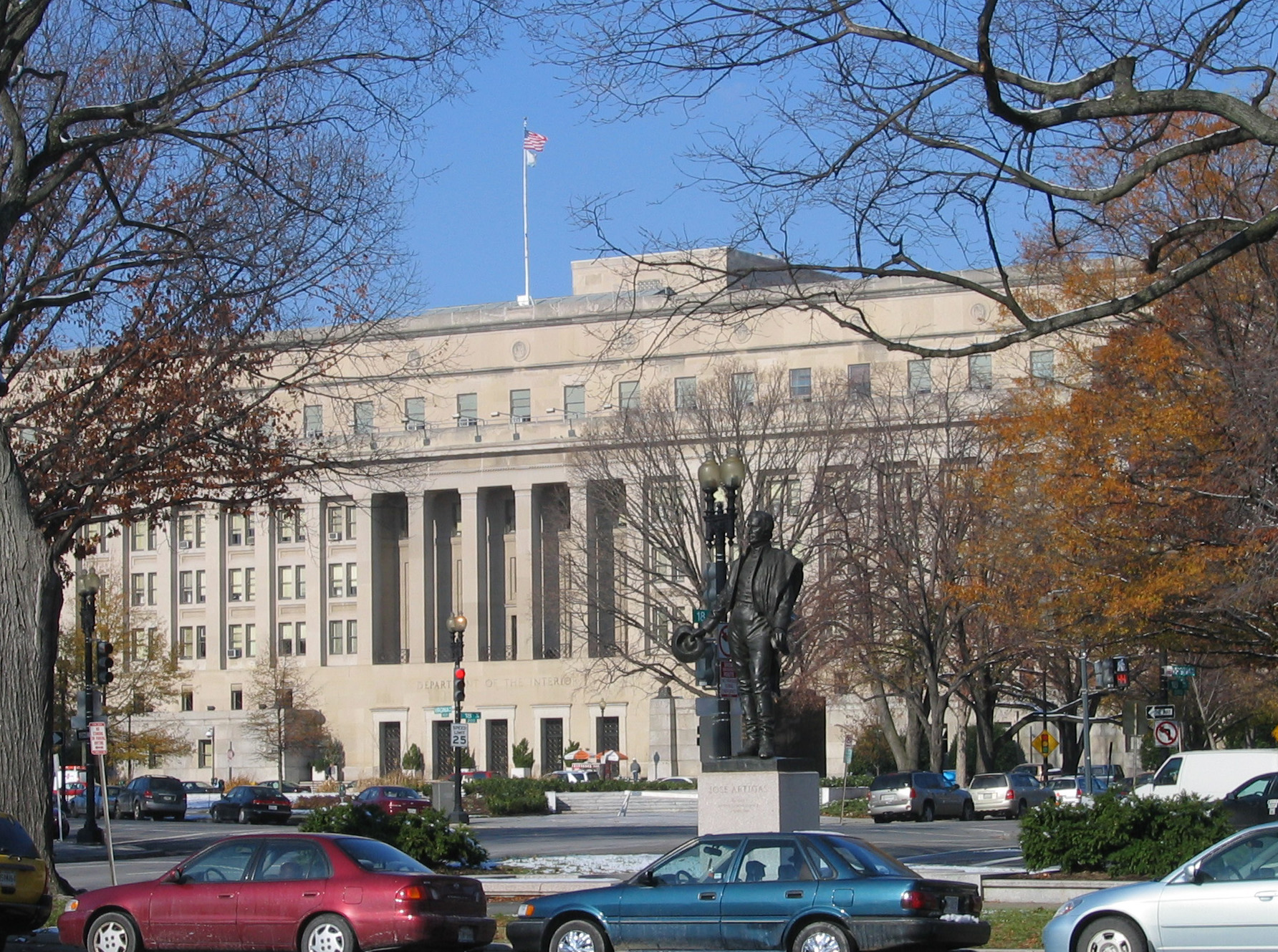
The Bureau of Indian Affairs (BIA), also known as Indian Affairs (IA), is a United States federal agency within the Department of the Interior. It is responsible for implementing federal laws and policies related to American Indians and Alaska Natives, and administering and managing over of land held in trust by the U.S. federal government for Indian Tribes. It renders services to roughly 2 million indigenous Americans across 574 federally recognized tribes. The BIA is governed by a director and overseen by the assistant secretary for Indian affairs, who answers to the secretary of the interior. The BIA works with tribal governments to help administer law enforcement and justice; promote development in agriculture, infrastructure, and the economy; enhance tribal governance; manage natural resources; and generally advance the quality of life in tribal communities. Educational services are provided by Bureau of Indian Education—the only other agency under the assistant s ... [...More Info...] [...Related Items...] OR: [Wikipedia] [Google] [Baidu] |
Fort Defiance, Arizona
Fort Defiance ( nv, ) is a census-designated place (CDP) in Apache County, Arizona, United States. It is also located within the Navajo Nation. The population was 3,624 at the 2010 census. History The land on which Fort Defiance was eventually established was first noted by the U.S. military when Colonel John Washington stopped there on his return journey from an expedition to Canyon de Chelly. Fort Defiance was established on September 18, 1851, by Col. Edwin V. Sumner to create a military presence in Diné bikéyah (Navajo territory). Sumner broke up the fort at Santa Fe for this purpose, creating the first military post in what is now Arizona. He left Major Electus Backus in charge. Fort Defiance was built on valuable grazing land that the federal government then prohibited the Navajo from using. As a result, the appropriately named fort experienced intense fighting, culminating in two attacks: in 1856 and 1860. The next year, at the onset of the Civil War, the army ... [...More Info...] [...Related Items...] OR: [Wikipedia] [Google] [Baidu] |
2010 United States Census
The United States census of 2010 was the twenty-third United States national census. National Census Day, the reference day used for the census, was April 1, 2010. The census was taken via mail-in citizen self-reporting, with enumerators serving to spot-check randomly selected neighborhoods and communities. As part of a drive to increase the count's accuracy, 635,000 temporary enumerators were hired. The population of the United States was counted as 308,745,538, a 9.7% increase from the 2000 census. This was the first census in which all states recorded a population of over half a million people as well as the first in which all 100 largest cities recorded populations of over 200,000. Introduction As required by the United States Constitution, the U.S. census has been conducted every 10 years since 1790. The 2000 U.S. census was the previous census completed. Participation in the U.S. census is required by law of persons living in the United States in Title 13 of the United ... [...More Info...] [...Related Items...] OR: [Wikipedia] [Google] [Baidu] |


