|
Concepción, Sololá
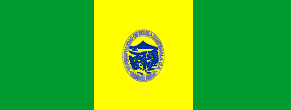
Concepción () is a municipality in the Sololá department of Guatemala. The outstanding characteristic of the municipality is that 100% of its inhabitants are native people. History Spanish Colony There is not any exact record of the exact foundation date of the town; it is known, however, that there was a time that it was called "Concepción Quechelaj" and "Concepción Paquixalá" according to several documents form the Spanish Colony era. The word "Quechelaj" is from the kakchikel language and means "River of thorns". After the Spanish conquest of Guatemala the town was called "Nuestra Señora de La Concepción" after the Our Lady of the Immaculate Conception. However, the town changed name several times after that. During the Spanish Colony it was part of the Tecpán Atitlán district and when Tecpán became an "alcaldía mayor" (English:Major municipality) of Sololá Nuestra Señora de La Concepción became part of it, as reported in 1749. Documents from 1765 show its ... [...More Info...] [...Related Items...] OR: [Wikipedia] [Google] [Baidu] |
Flag Of Guatemala
The flag of Guatemala, often referred to as the National Pavilion () or the Blue-and-White (), features two colors: sky blue and white. According to decree, the two sky blue stripes represents strength, justice, truth and loyalty. The white color signifies purity, integrity, firmness and light. The blue and white colors, like those of several other countries in the region, are based on the flag of the former Federal Republic of Central America. In the center of the flag is the Coat of arms of Guatemala, Guatemalan coat of arms. It includes the resplendent quetzal, the national bird of Guatemala that symbolizes liberty; a parchment scroll bearing the date of Central America's independence from Spain, 15 September 1821; crossed Remington Rolling Block rifle, Remington Rolling Block rifles, indicating Guatemala's willingness to defend itself by force if need be; a bay laurel crown, the symbol for victory; and crossed swords, representing honor. It is one of four national flags am ... [...More Info...] [...Related Items...] OR: [Wikipedia] [Google] [Baidu] |
Universidad De San Carlos De Guatemala
The Universidad de San Carlos de Guatemala (USAC, ''University of San Carlos of Guatemala'') is the largest and oldest university of Guatemala; it is also the fourth founded in the Americas. Established in the Kingdom of Guatemala during the Spanish colony, it was the only university in Guatemala until 1954,In 1954 a coup led by the National Liberation Movement which was sponsored by the United Fruit Company and coordinated by CIA and State Department American operatives who had links with the US company triumphed . although it continues to hold distinction as the only public university in the entire country. The university grew out of the Colegio de Santo Tomás de Aquino (Saint Thomas Aquinas High School), founded in 1562 by Bishop Francisco Marroquín. After a series of 1773 Guatemala earthquake, major earthquakes in 1773, which destroyed many parts of the city of Santiago de los Caballeros, the crown authorities ordered the evacuation of the city and the relocation of its gov ... [...More Info...] [...Related Items...] OR: [Wikipedia] [Google] [Baidu] |
San Andrés Semetabaj
San Andrés Semetabaj () is a municipality in the Sololá department of Guatemala. According to Jorge Luis Arriola's ''Geonimias de Guatemala'' (English:''Name origins of geographic locations in Guatemala''), Semetabaj means "stone of glass-like appearance" and originates from the Spanish word "semet", which means : bottle or flask and, by extension, glass, and by the k'akch'iquel "abaj" which means "stone". Originally, it was called San Andrés Limetabaj. History The oldest reference of San Andrés Semetabaj after the Spanish conquest of Guatemala is in the Franciscan convent report written by friar Francisco de Zuasa in 1689, who said that San Andrés Semetabaj was a small town under the jurisdiction of the convent in Panajachel, with population 315 (297 natives and 18 criollos). In his ''Descripción Geográfico-Moral de la Diósesis de Goathemala'' (English:''Moral-geographic description of the Guatemalan diocese''), archbishop Pedro Cortés y Larraz, written in 1770 after ... [...More Info...] [...Related Items...] OR: [Wikipedia] [Google] [Baidu] |
Quiché Department
Quiché () is a department of Guatemala. It is in the heartland of the Kʼicheʼ (Quiché) people, one of the Maya peoples, to the north-west of Guatemala City. The capital is Santa Cruz del Quiché. The word Kʼicheʼ comes from the language of the same name, which means "many trees". Population Quiché has historically been one of the most populous departments of Guatemala. At the 2018 census it had a population of 949,261. Mayans account for 88.6% of the department's population. Kʼicheʼ people are the largest Mayan ethnic group in the department, and account for 65.1% of the total population. The department is named after them. While most of its indigenous population speaks the Kʼicheʼ (Quiché) language, other Mayan languages spoken in the department are Ixil ( Nebaj - Chajul - Cotzal area), Uspantek ( Uspantán area), Sakapultek ( Sacapulas area), as well as Poqomchiʼ and Q'eqchi' in the northeast, bordering the Alta Verapaz department. Geography The ... [...More Info...] [...Related Items...] OR: [Wikipedia] [Google] [Baidu] |
Chichicastenango
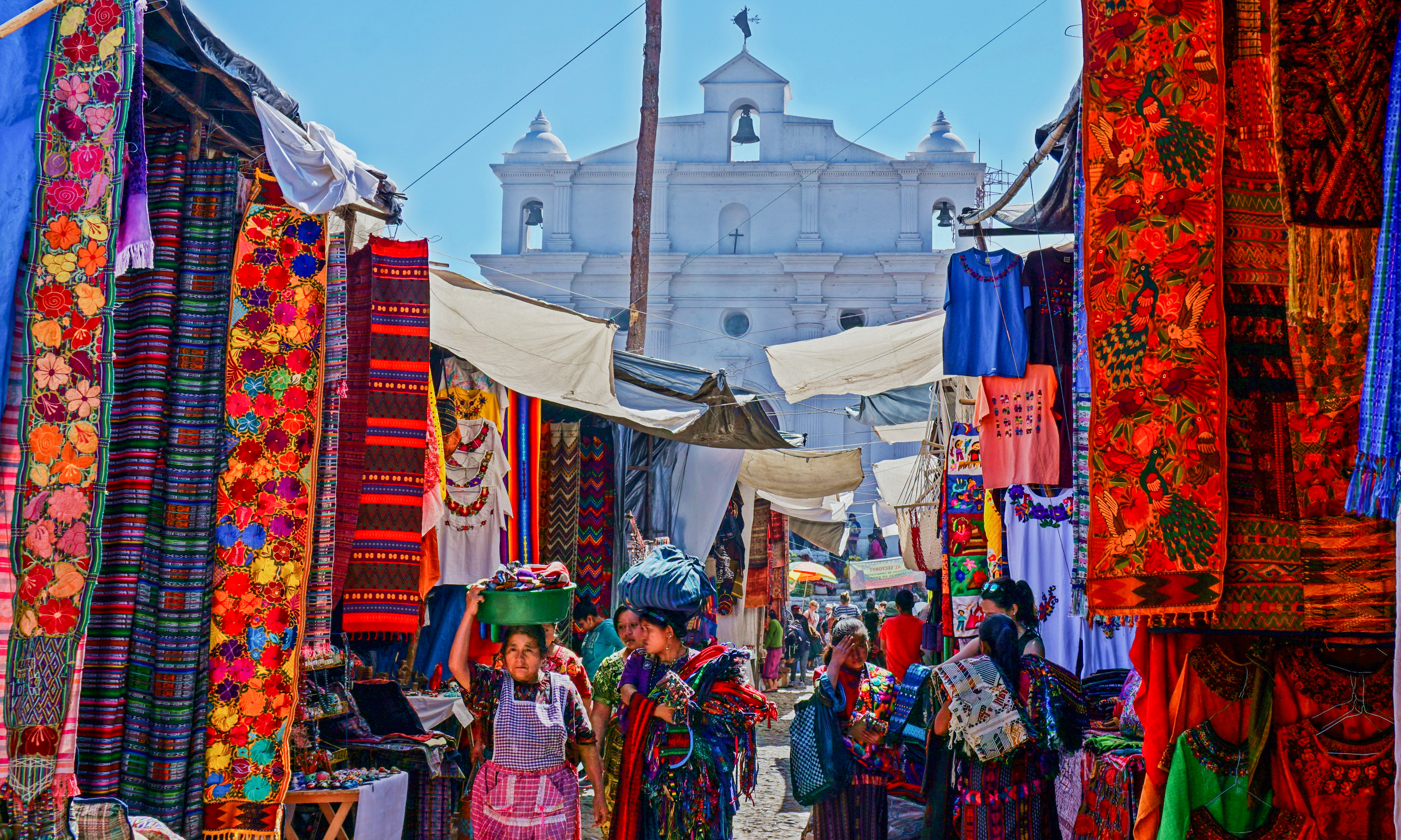
Chichicastenango, also known as Santo Tomás Chichicastenango, is a town, with a population of 71,394 (2018 census), and the municipal seat for the surrounding municipality of the same name in the El Quiché department of Guatemala. It is located in a mountainous region about northwest of Guatemala City, at an altitude of 1,965 m (6,447 ft). The Spanish conquistadors gave the town its name from the Nahuatl name used by their allied soldiers from Tlaxcala: Tzitzicaztenanco, or ''City of Nettles''. Its original name was ''Chaviar''. Chichicastenango is a K'iche' Maya cultural centre. According to the 2012 census, 98.5% of the municipality's population is indigenous Mayan K'iche. Of the population, 21% speak only K'iche, 71% speak both K'iche and Spanish, and the remaining 8% speak only Spanish. Market Chichicastenango hosts market days on Thursdays and Sundays where vendors sell handicrafts, food, flowers, pottery, wooden boxes, condiments, medicinal plants, candles, pom ... [...More Info...] [...Related Items...] OR: [Wikipedia] [Google] [Baidu] |
Guatemala City
Guatemala City (, also known colloquially by the nickname Guate), is the Capital city, national capital and largest city of the Guatemala, Republic of Guatemala. It is also the Municipalities of Guatemala, municipal capital of the Guatemala Department and the most populous urban metropolitan area in Central America. The city is located in a mountain valley called Valle de la Ermita () in the south-central part of the country. Guatemala City is the site of the native Maya civilization, Mayan city of Kaminaljuyu in Mesoamerica, which was occupied primarily between 1500 BCE and 1200 CE. The present city was founded by the Spanish after their colonial capital, now called Antigua Guatemala, was destroyed by the devastating 1773 Guatemala earthquake, 1773 Santa Marta earthquake and its aftershocks. It became the third royal capital of the surrounding Captaincy General of Guatemala; which itself was part of the larger Viceroyalty of New Spain in imperial Spanish America and remained und ... [...More Info...] [...Related Items...] OR: [Wikipedia] [Google] [Baidu] |
Unidad Nacional De La Esperanza
The National Unity of Hope (, UNE) is a populist political party in Guatemala. It was founded in 2002 and defined itself as a social-democratic and social-Christian party, but since transformed and is now described as a right-wing party. It is the largest political party in Guatemala by the number of members. Ideology At the time of its founding in 2002, it defined itself as a social-democratic and social-Christian party, but has gradually shifted to the right wing. It opposes lifting abortion and same-sex marriage bans in the country. However, it supports social programs aimed at uplifting the "forgotten" poor of the country. 2003 election At the legislative elections held on November 9, 2003, the party won 17.9% of the popular vote and 32 out of 158 seats in Congress. Its presidential candidate Álvaro Colom won 26.4% in the presidential elections on the same day and was defeated in the second round, when he received 45.9%. 2007 election For the 2007 elections, the party ... [...More Info...] [...Related Items...] OR: [Wikipedia] [Google] [Baidu] |
Panajachel
Panajachel (, Pana) is a town in the southwestern part of the Guatemalan Highlands, less than from Guatemala City, in the Departments of Guatemala, department of Sololá (department), Sololá. It serves as the administrative centre for the surrounding municipality of the same name. The elevation is . The population in the 2018 census was 15,077.INE, XII Censo Nacional de Población y VII de Vivienda - 2018 The town of Panajachel is located on the northeast shore of Lake Atitlán, and has become a center for the Tourism in Guatemala, tourism industry of the area as it provides a base for visitors crossing the lake to visit other towns and villages. "Panajachel" derives from the Kaqchikel language and roughly translates to "place of the Matasanos," the white sapote fruit tree. History Spanish colony In the 16th century, during the period of the Spanish conquest of Guatemala, the shore of the lake was the scene of a battle in which the Spanish and their Maya peoples, Kaqchikel ... [...More Info...] [...Related Items...] OR: [Wikipedia] [Google] [Baidu] |
Pedro Cortés Y Larraz
Pedro Cortés y Larraz (Belchite, Zaragoza, 6 July 1712 - Zaragoza, 7 July 1787) was Roman Catholic Archdiocese of Guatemala, Archbishop of Guatemala between 1767 and 1779 and bishop of Tortosa between 1780 and 1786. Biography Early life Graduated with a doctorate in Spain when he was twenty-nine years old, and later was ordained as priest. Moved to the Spain possessions in America was consecrated bishop by Francisco Fabián Fuero in Puebla de los Ángeles. Archbishop of Guatemala Upon taking over the archdiocese of Guatemala, began preparing to travel all across his new dominion; he sent letter to all the secular priests ahead of time so they were ready to have a report for him upon his arrival. From this trip, which lasted from November 1768 to August 1770, he wrote ''Descripción Geográfico-Moral de la Diócesis de Goathemala'' (''Moral and geographic description of the Diocese of Guatemala''). By 1769, Cortés y Larraz was so disappointed with the ecclesiastical situat ... [...More Info...] [...Related Items...] OR: [Wikipedia] [Google] [Baidu] |
Sololá
__NOTOC__ Sololá is a city in Guatemala. It is the capital of the department of Sololá and the administrative seat of Sololá municipality. It is located close to Lake Atitlan. The name is a Hispanicized form of its pre-Columbian name, one spelling variant of which is Tz'olojya. The urban center has about 14,000 people, but the municipality also includes four village communities — Los Encuentros, El Tablón, San Jorge la Laguna, and Argueta — as well as 59 smaller rural communities. Sololá is situated at 2,114 m altitude on a mountainside overlooking Lake Atitlán, some 600 meters below. It is a highland market center and is the headquarters for the Catholic Bishopric encompassing the Sololá and Chimaltenango Departments. Almost all residents of Sololá are Kaqchikel Maya, except in Argueta, where most are K'iche' Maya. A large percentage of both men and women continue to wear traditional Mayan clothing. Sololá is home to many international organizations includinM ... [...More Info...] [...Related Items...] OR: [Wikipedia] [Google] [Baidu] |
Tecpán Guatemala
Tecpán may refer to: * Tecpán Guatemala, a municipality in the Guatemalan department of Chimaltenango * Tecpan de Galeana, a city in the Mexican state of Guerrero ** Tecpan de Galeana (municipality), its surrounding municipality {{geodis ... [...More Info...] [...Related Items...] OR: [Wikipedia] [Google] [Baidu] |


