|
Clonbullogue
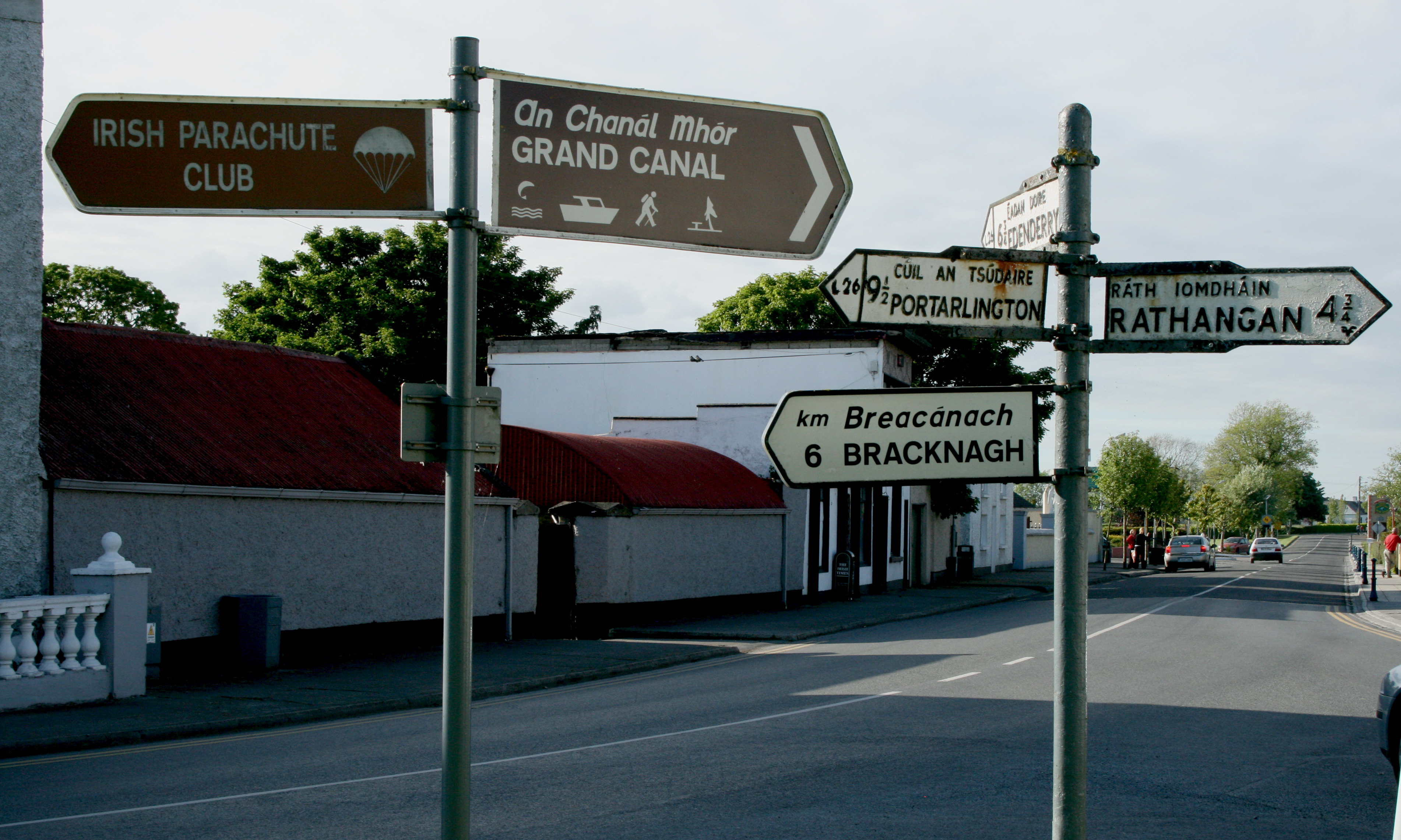
Clonbullogue or Clonbolloge () is a village in County Offaly, Ireland. Location The village is located at the junction of the R401 and R442 regional roads. The '' Figile River'' runs through the village under the R442 near its confluence with the ''Philipstown River''. Between the village and Edenderry, 11 km to the north, lies the Bog of Allen. Clonbullogue is located near the point where three counties— Offaly, Laois and Kildare meet. The village is on an island of pasture land in the bog of Allen. The area is marked on the Cottonian map 1653 of Leix & Offaly as Clanbolg. In the 1659 Census, Robert Shallcross was listed as the titled person in the area. In 1679, Charles II granted this area to the Purefoy family and for a time the village was called Purefoy's Place. In 1798, the village was burned—the only part of Offaly to suffer this fate during the Rebellion. Two of the Wexford leaders, Colonel Anthony Perry and Father Mogue Kearns were captured here and ... [...More Info...] [...Related Items...] OR: [Wikipedia] [Google] [Baidu] |
R401 Road (Ireland)
The R401 road is a Regional road (Ireland), regional road in Republic of Ireland, Ireland, linking Kinnegad in County Meath to Kildare town in County Kildare. The total length of the R401 is . Route The official description of the R401 from the ''Roads Act 1993 (Classification of Regional Roads) Order 2012'' ''Irish Statute Book''. 2012-02-28. reads: :R401: Kinnegad, County Westmeath — Edenderry, County Offaly — Kildare Between its junction with R148 road (Ireland), R148 at Rossan in the county of County Meath, Meath and its junction with R402 road (Ireland), R402 at J.K.L. Street in the town of Edenderry in the county of County Offaly, Offaly via Park in the county of Meath: Ballybog ... [...More Info...] [...Related Items...] OR: [Wikipedia] [Google] [Baidu] |
