|
Cirrostratus
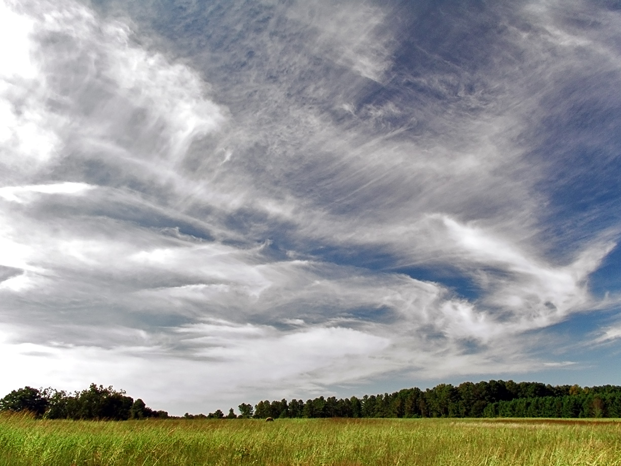
Cirrostratus () is a high-altitude, very thin, and generally uniform stratiform genus-type of cloud. It is composed of ice crystals, which are particles of frozen water. Cirrostratus is difficult to see and can produce halos. These optical effects are caused when the cloud takes the form of thin cirrostratus nebulosus. The cloud has a fibrous texture with no halos if it is thicker cirrostratus fibratus. On the approach of a frontal system, the cirrostratus often begins as nebulous and turns to fibratus. If the cirrostratus begins as fragmented of clouds in the sky it often means the front is weak. Cirrostratus usually lies above . Its presence indicates a large amount of moisture in the upper troposphere. Clouds resembling cirrostratus occasionally form in the lower stratosphere over the polar regions of Earth. Polar stratospheric clouds can take on this appearance when composed of tiny supercooled droplets of water or nitric acid. Cirrostratus clouds sometimes signal ... [...More Info...] [...Related Items...] OR: [Wikipedia] [Google] [Baidu] |
Cirrostratus Nebulosus
Cirrostratus nebulosus is a type of high-level cirrostratus cloud. The name ''cirrostratus nebulosus'' is derived from Latin, the adjective ''nebulosus'' meaning "full of vapor, foggy, cloudy, dark". Cirrostratus nebulosus is one of the two most common forms that cirrostratus often takes, with the other being cirrostratus fibratus. The nebulosus species is featureless and uniform, while the fibratus species has a fibrous appearance. Cirrostratus nebulosus are formed by gently rising air. The cloud is often hard to see unless the sun shines through it at the correct angle, forming a halo. While usually very light, the cloud may also be very dense, and the exact appearance of the cloud can vary from one formation to another. In the winter, precipitation often follows behind these clouds; however, they are not a precipitation-producing cloud. See also *List of cloud types The list of cloud types groups all genera as ''high'' (cirro-, cirrus), ''middle'' (alto-), ''multi-level'' (ni ... [...More Info...] [...Related Items...] OR: [Wikipedia] [Google] [Baidu] |
Cirrostratus Fibratus
Cirrostratus fibratus or also called Cirrostratus filosus is a type of cirrostratus cloud. The name ''cirrostratus fibratus'' is derived from Latin, meaning "fibrous". Cirrostratus fibratus is one of the two most common forms that cirrostratus often takes, with the other being cirrostratus nebulosus. They are formed from strong, continuous winds blowing at high altitudes, and they often cover a large portion of the sky. Cirrostratus fibratus may often develop from either cirrus fibratus or cirrus spissatus cloud. Precipitation is often imminent behind these clouds; however, they are not a precipitation-producing cloud. See also *List of cloud types The list of cloud types groups all genera as ''high'' (cirro-, cirrus), ''middle'' (alto-), ''multi-level'' (nimbo-, cumulo-, cumulus), and ''low'' (strato-, stratus). These groupings are determined by the altitude level or levels in the troposphe ... References External linksInternational Cloud Atlas – Cirrostratus fibratus { ... [...More Info...] [...Related Items...] OR: [Wikipedia] [Google] [Baidu] |
Cloud
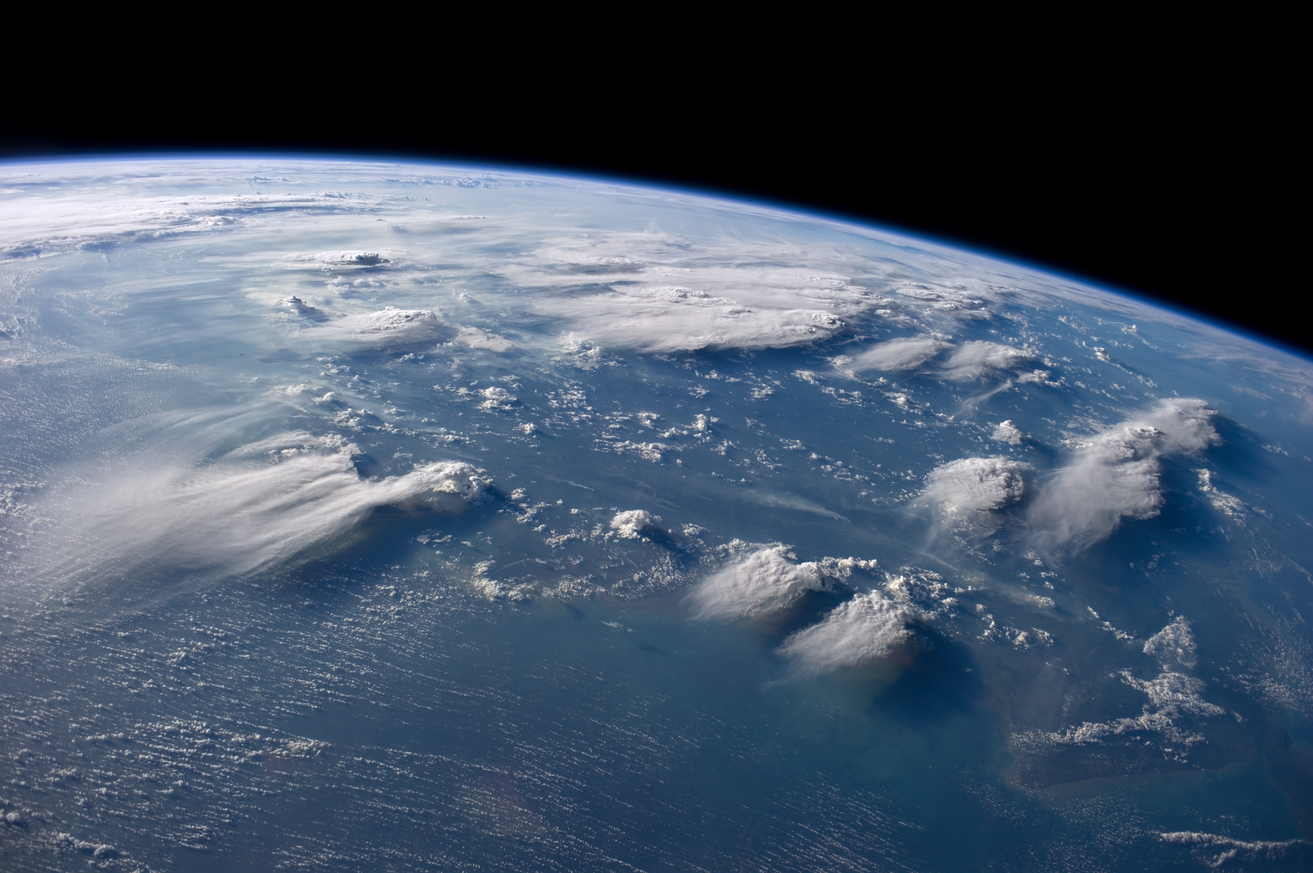
In meteorology, a cloud is an aerosol consisting of a visible mass of miniature liquid droplets, frozen crystals, or other particles, suspended in the atmosphere of a planetary body or similar space. Water or various other chemicals may compose the droplets and crystals. On Earth, clouds are formed as a result of saturation of the air when it is cooled to its dew point, or when it gains sufficient moisture (usually in the form of water vapor) from an adjacent source to raise the dew point to the ambient temperature. Clouds are seen in the Earth's homosphere, which includes the troposphere, stratosphere, and mesosphere. Nephology is the science of clouds, which is undertaken in the cloud physics branch of meteorology. The World Meteorological Organization uses two methods of naming clouds in their respective layers of the homosphere, Latin and common name. Genus types in the troposphere, the atmospheric layer closest to Earth's surface, have Latin names because of th ... [...More Info...] [...Related Items...] OR: [Wikipedia] [Google] [Baidu] |
Cirrus Cloud
Cirrus ( cloud classification symbol: Ci) is a genus of high cloud made of ice crystals. Cirrus clouds typically appear delicate and wispy with white strands. In the Earth's atmosphere, cirrus are usually formed when warm, dry air rises, causing water vapor deposition onto mineral dust and metallic particles at high altitudes. Globally, they form anywhere between above sea level, with the higher elevations usually in the tropics and the lower elevations in more polar regions. Cirrus clouds can form from the tops of thunderstorms and tropical cyclones and sometimes predict the arrival of rain or storms. Although they are a sign that rain and maybe storms are on the way, cirrus themselves drop no more than falling streaks of ice crystals. These crystals dissipate, melt, and evaporate as they fall through warmer and drier air and never reach ground. The word ''cirrus'' comes from the Latin prefix ''cirro-'', meaning "tendril" or "curl". Cirrus clouds warm the earth, potentially c ... [...More Info...] [...Related Items...] OR: [Wikipedia] [Google] [Baidu] |
Stratus Cloud
Stratus clouds are low-level clouds characterized by horizontal layering with a uniform base, as opposed to convective or cumuliform clouds formed by rising thermals. The term ''stratus'' describes flat, hazy, featureless clouds at low altitudes varying in color from dark gray to nearly white. The word ''stratus'' comes from the Latin prefix ''Strato-'', meaning "layer" or "sheet". Stratus clouds may produce a light drizzle or a small amount of snow. These clouds are essentially above-ground fog formed either through the lifting of morning fog or through cold air moving at low altitudes. Some call these clouds "high fog" for their fog-like form. Formation Stratus clouds form when weak vertical currents lift a layer of air off the ground and it depressurizes, following the lapse rate. This causes the relative humidity to increase due to the adiabatic cooling. This occurs in environments where atmospheric ''stability'' is abundant. Description Stratus clouds look like ... [...More Info...] [...Related Items...] OR: [Wikipedia] [Google] [Baidu] |
Nimbostratus
A nimbostratus cloud is a multilevel, amorphous, nearly uniform, and often dark-grey cloud that usually produces continuous rain, snow, or sleet, but no lightning or thunder. in the Oxford Dictionaries Online. Although it is usually a low-based stratiform cloud, it actually forms most commonly in the middle level of the troposphere and then spreads vertically into the low and high levels. Nimbostratus usually produces precipitation over a wide area. The prefix '' nimbo-'' comes from the Latin word ', which means "rain bearing cloud" Downward-growing nimbostratus can have the same vertical extent as most large upward-growing [...More Info...] [...Related Items...] OR: [Wikipedia] [Google] [Baidu] |
Halo (optical Phenomenon)
A halo () is an optical phenomenon produced by light (typically from the Sun or Moon) interacting with ice crystals suspended in Earth's atmosphere, the atmosphere. Halos can have many forms, ranging from colored or white rings to arcs and spots in the sky. Many of these appear near the Sun or Moon, but others occur elsewhere or even in the opposite part of the sky. Among the best known halo types are the circular halo (properly called the 22° halo), light pillars, and sun dogs, but many others occur; some are fairly common while others are extremely rare. The ice crystals responsible for halos are typically suspended in cirrus cloud, cirrus or cirrostratus clouds in the upper troposphere (), but in cold weather they can also float near the ground, in which case they are referred to as diamond dust. The particular shape and orientation of the crystals are responsible for the type of halo observed. Light is reflection (physics), reflected and refraction, refracted by the ice cr ... [...More Info...] [...Related Items...] OR: [Wikipedia] [Google] [Baidu] |
Contrail
Contrails (; short for "condensation trails") or vapour trails are line-shaped clouds produced by aircraft engine exhaust or changes in air pressure, typically at aircraft cruising altitudes several kilometres/miles above the Earth's surface. They are composed primarily of water, in the form of ice crystals. The combination of water vapor in aircraft engine exhaust and the low ambient temperatures at high altitudes causes the trails' formation. Impurities in the engine exhaust from the fuel, including soot and sulfur compounds (0.05% by weight in jet fuel) provide some of the particles that serve as cloud condensation nuclei for water droplet growth in the exhaust. If water droplets form, they can freeze to form ice particles that compose a contrail. Their formation can also be triggered by changes in air pressure in wingtip vortices, or in the air over the entire wing surface. Contrails, and other clouds caused directly by human activity, are called ''homogenitus''. The va ... [...More Info...] [...Related Items...] OR: [Wikipedia] [Google] [Baidu] |
Precipitation
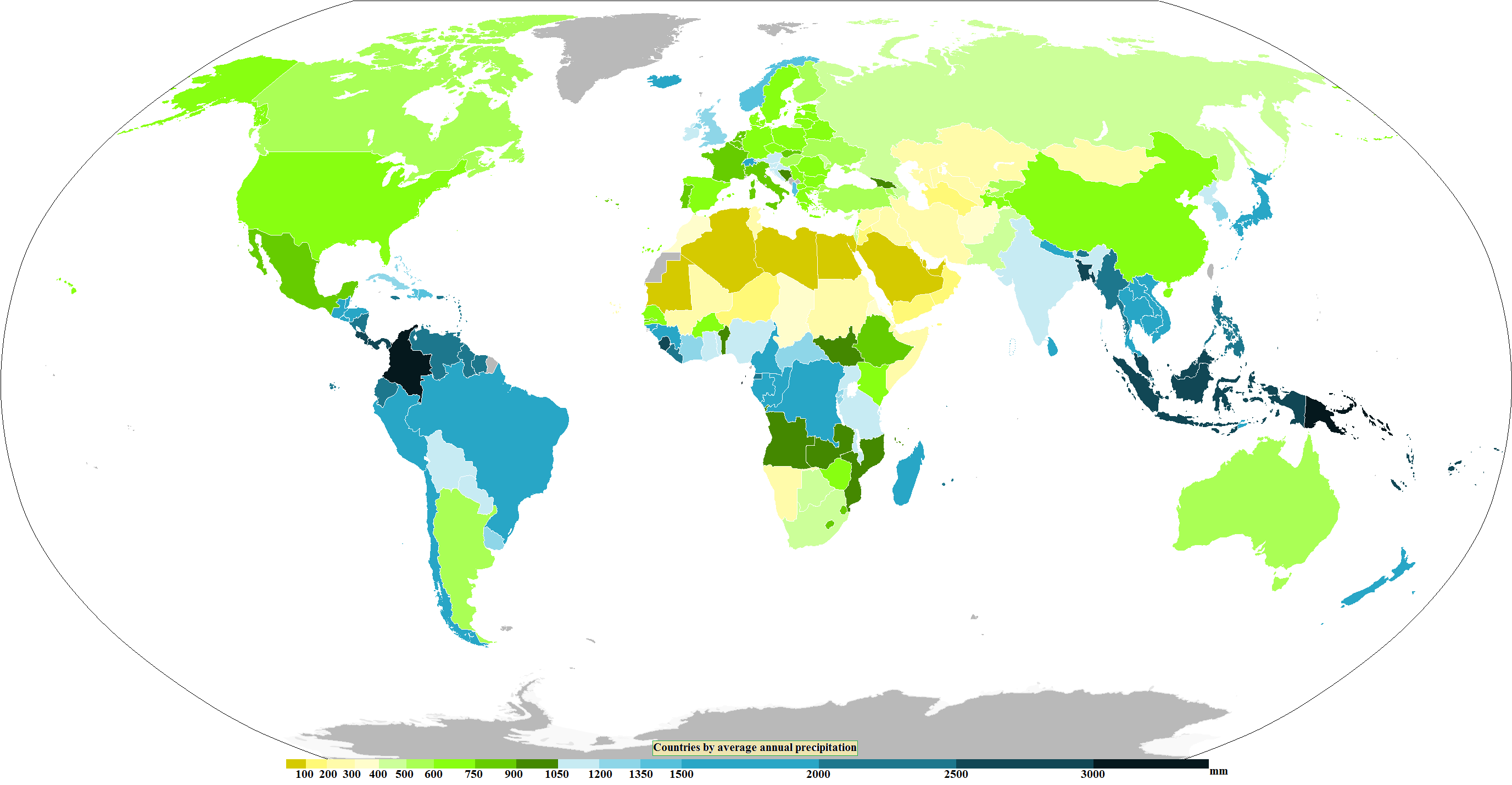
In meteorology, precipitation is any product of the condensation of atmospheric water vapor that falls from clouds due to gravitational pull. The main forms of precipitation include drizzle, rain, rain and snow mixed ("sleet" in Commonwealth usage), snow, ice pellets, graupel and hail. Precipitation occurs when a portion of the atmosphere becomes saturated with water vapor (reaching 100% relative humidity), so that the water condenses and "precipitates" or falls. Thus, fog and mist are not precipitation; their water vapor does not condense sufficiently to precipitate, so fog and mist do not fall. (Such a non-precipitating combination is a colloid.) Two processes, possibly acting together, can lead to air becoming saturated with water vapor: cooling the air or adding water vapor to the air. Precipitation forms as smaller droplets coalesce via collision with other rain drops or ice crystals within a cloud. Short, intense periods of rain in scattered locations are calle ... [...More Info...] [...Related Items...] OR: [Wikipedia] [Google] [Baidu] |
Polar Stratospheric Cloud
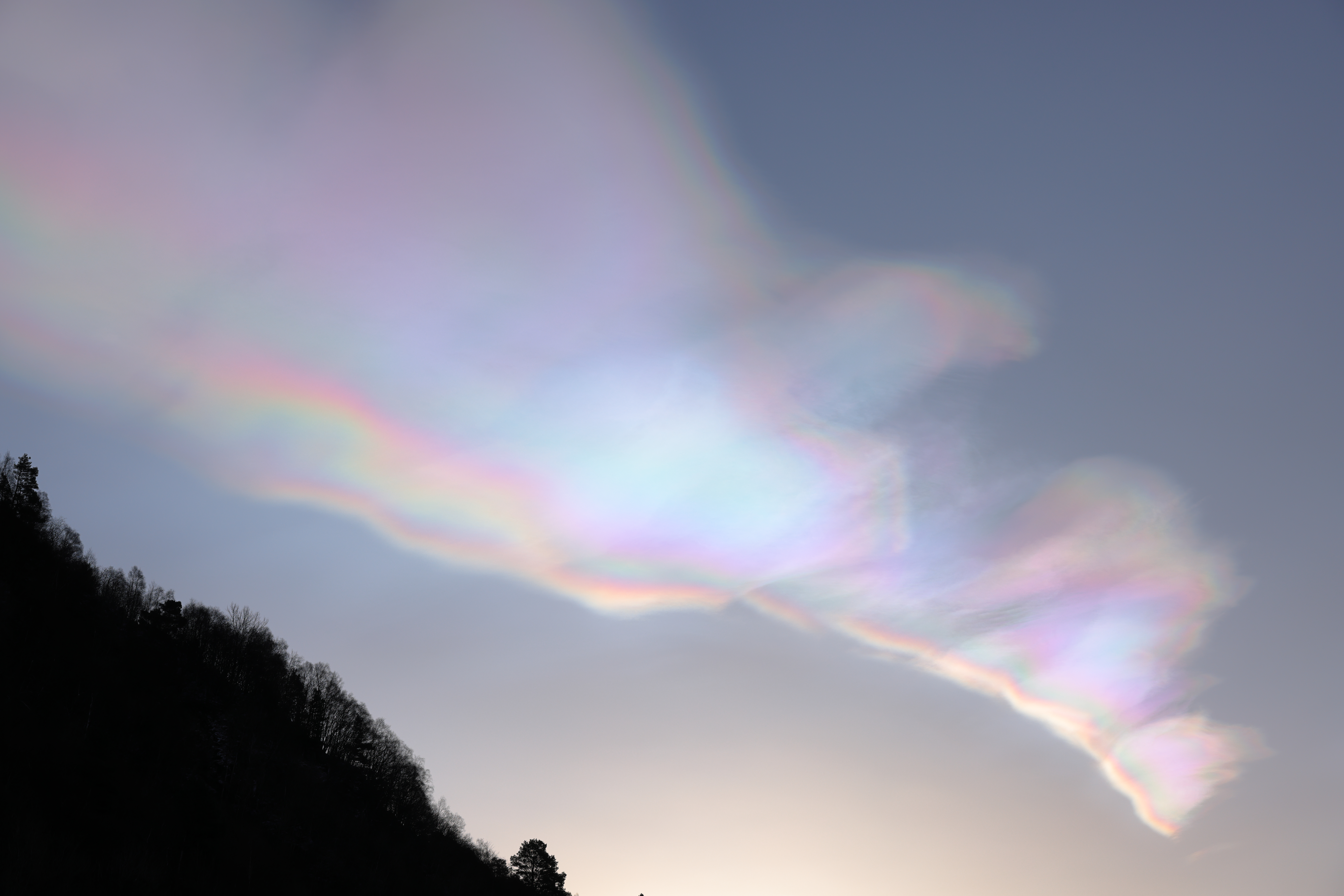
A polar stratospheric cloud (PSC) is a cloud that forms in the winter polar stratosphere at altitudes from . They are best observed during civil twilight, when the Sun is between 1° and 6° below the horizon, as well as in winter and in more northerly latitudes. One main type of PSC is composed of mostly supercooled droplets of water and nitric acid and is implicated in the formation of ozone holes. The other main type consists only of ice crystals, which are not harmful. This type of PSC is also called nacreous (; from ''nacre'', or mother of pearl), due to its iridescence. Formation The stratosphere is very dry; unlike the troposphere, it rarely allows clouds to form. In the extreme cold of the polar winter, however, stratospheric clouds of different types may form, which are classified according to their physical state (super-cooled liquid or ice) and chemical composition. Due to their high altitude and the curvature of the surface of the Earth, these clouds will re ... [...More Info...] [...Related Items...] OR: [Wikipedia] [Google] [Baidu] |
Stratocumulus
A stratocumulus cloud, occasionally called a cumulostratus, belongs to a genus-type of clouds characterized by large dark, rounded masses, usually in groups, lines, or waves, the individual elements being larger than those in altocumulus, and the whole being at a lower height, usually below . Weak convective currents create shallow cloud layers (see also: sea of clouds) because of drier, stable air above preventing continued vertical development. Historically, in English, this type of cloud has been referred to as a twain cloud for being a combination of two types of clouds. Description Stratocumulus clouds are rounded clumps or patches of white to dark gray clouds that normally form in groups. The individual cloud elements, which cover more than 5 degrees of arc each, can connect with each other and are sometimes arranged in a regular pattern. Occurrence Vast areas of subtropical and polar oceans are covered with massive sheets of stratocumulus. These may organize into distinc ... [...More Info...] [...Related Items...] OR: [Wikipedia] [Google] [Baidu] |


