|
Chumesang
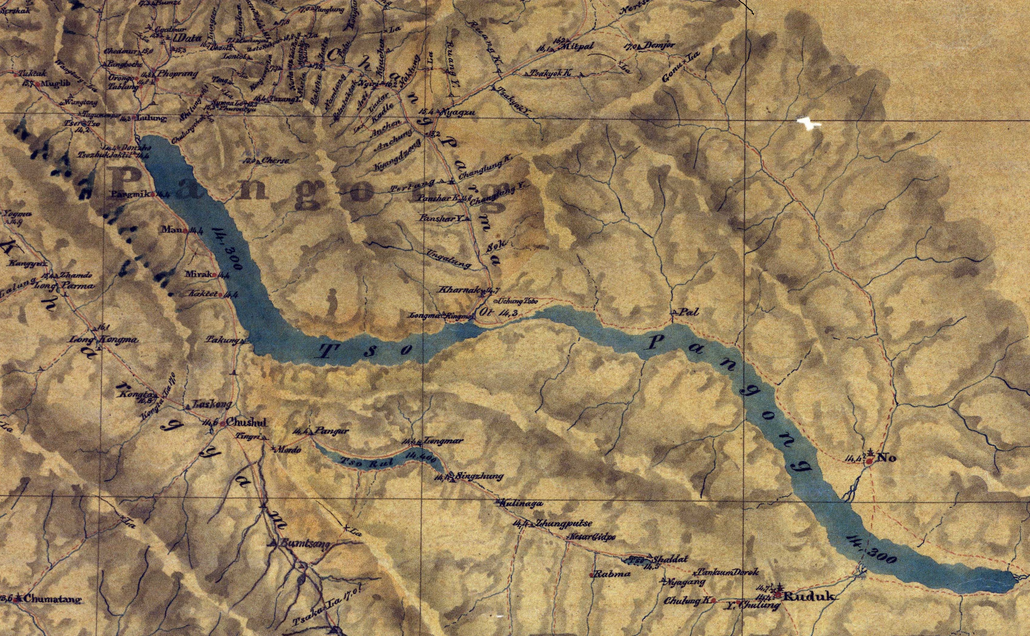
Nyagzu or Nagzug () KNAB Place Name Database, retrieved 18 May 2022. is a pasture and campground in the Chumesang river valley to the north of Pangong Lake. It is in Sino-Indian border dispute, territory disputed between India and China, that has been under Chinese administration since 1960–1961. Nyagzu lies at the location where the Ruang Yogma stream debauches into the Chumesang river valley, and has been known to have ample vegetation amidst a barren landscape. Multiple sources during the British Raj, British colonial administration mentioned Nyagzu and the Ruang Yogma stream being the border between Ladakh and Tibet in this region. The Chinese claim line in 1956 can also be seen to follow this border. However, by 1960, China enlarged its claims much f ... [...More Info...] [...Related Items...] OR: [Wikipedia] [Google] [Baidu] |
Kiu La
Marsimik La or Marsemik La, also called Lankar La, elevation is a high mountain pass in the Chang Chenmo Range in the Indian union territory of Ladakh, east of Leh as the crow flies. Ladakh's route to the Chang Chenmo Valley traverses the pass. Geography Marsimik La is located about northeast of Lukung at the tip of Pangong Tso, Pangong Lake, and southwest of Pamzal in the Chang Chenmo Valley. The ridge line of Marsimik La divides the basin of the Pangong Tso, Pangong Lake from the Chang Chenmo River. The description of Marsimik La in the ''Gazetteer of Kashmir and Ladak'' (1890) states:About 4 km to the east of Marsimik La is another ridge line which divides the western portion of the Pangong Lake basin with the central portion that drains into the lake via the Khurnak Plain. China's claimed border and the present Line of Actual Control runs through this ridge line. The passes Kiu La () and Ane La () lie on this ridge line. The river Kiu Chu flows down from Kiu La ... [...More Info...] [...Related Items...] OR: [Wikipedia] [Google] [Baidu] |

