|
Cholpon-Ata Airport
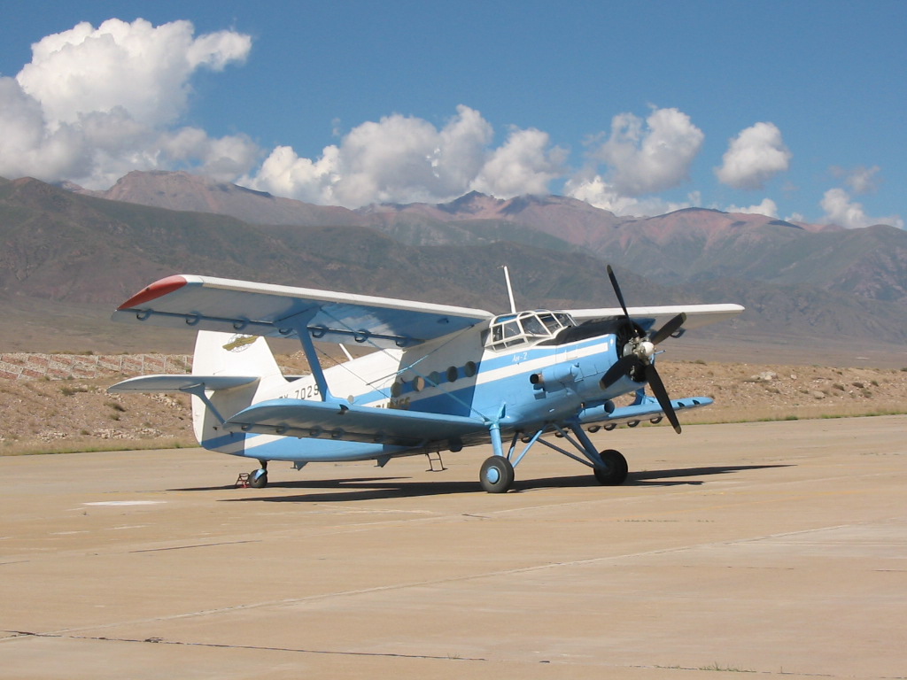
Cholpon-Ata Airport (Kyrgyz: Чолпон-Ата аэропорту, Russian: Чолпон-Атинский аэропорт) is an airport serving a resort town of Cholpon-Ata in the Issyk Kul Province (''oblast'') of Kyrgyzstan. The Russian IATA code for Cholpon-Ata Airport is ЧЛА. Cholpon-Ata Airport started its operations in the 1930s as a landing strip on the northern shore of Issyk-Kul Lake. The current runway and terminal were built in the 1970s. The runway has a weight limit of 22 tonnes, and has no instrument landing facilities and operates only during daylight hours. Cholpon-Ata Airport is currently being replaced by Tamchy Airport Issyk-Kul International Airport ( Kyrgyz: Ысык-Көл эл аралык аэропорту, ''Isıq-Köl el aralıq aeroportu'', ىسىق-كۅل ەل ارالىق اەروپورتۇ; Russian: Международный аэропорт «Ис ....http://www.civilaviation.kg/index.php?option=com_content&view=article&id=29&Itemid=46 ... [...More Info...] [...Related Items...] OR: [Wikipedia] [Google] [Baidu] |
Cholpon-Ata
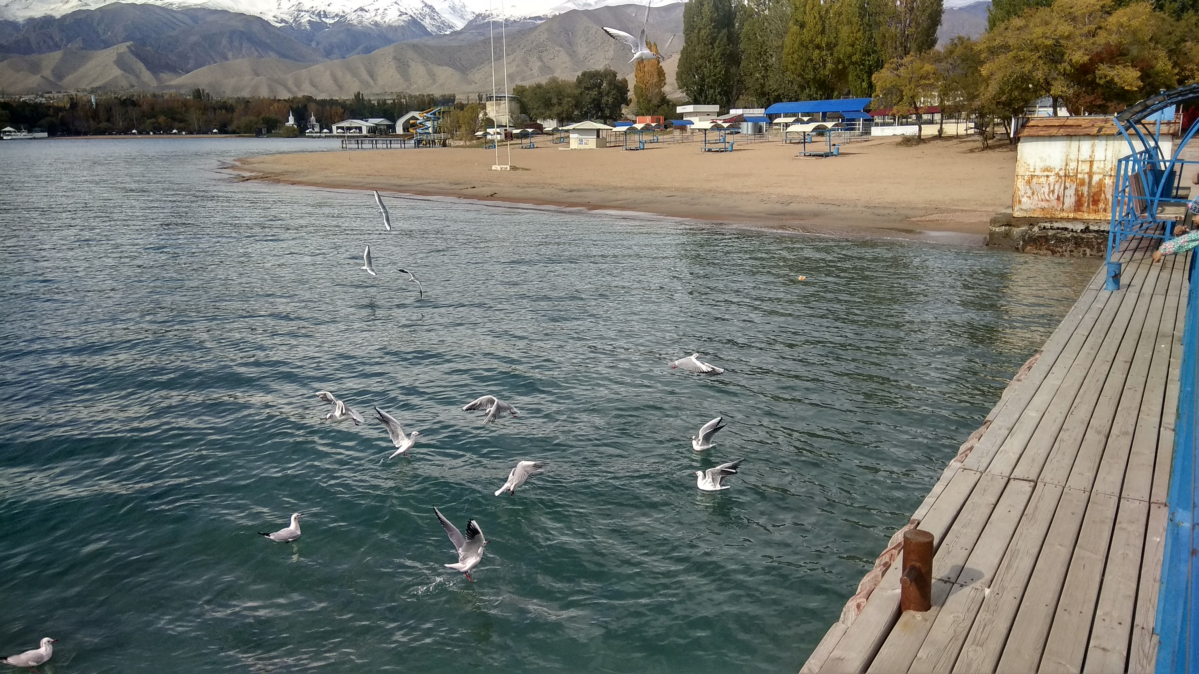
Cholpon-Ata ( ky, Чолпон-Ата, ''Çolpon-Ata'', چولپون-اتا, pronounced , literally "Venus-father", the name of a mythological protecting spirit) is a resort town on the northern shore of Lake Issyk-Kul in Kyrgyzstan with a population of 14,237 (2021). It is the administrative center of the Issyk-Kul District of Issyk-Kul Region; this district occupies most of the lake's north shore. To the west along highway A363 is Tamchy and to the east, Bosteri. The town contains numerous large and small sanatoria, hotels and guesthouses to accommodate the many visitors who descend upon the lake in summer. During the Soviet era it was much frequented by vacationers brought here in organized mass tours from other parts of the USSR. Holidaymakers now usually visit on their own or in small groups and originate mainly from Kyrgyzstan, Kazakhstan and Uzbekistan. Attracting more demanding foreign tourists will require substantial upgrading of the existing facilities, but the locati ... [...More Info...] [...Related Items...] OR: [Wikipedia] [Google] [Baidu] |
Issyk Kul District
Issyk-Kul District ( ky, Ысык-Көл району, ''Isıq-Köl rayonu'', ىسىق-كۅل رايونۇ; russian: Иссык-кульский район, ''Issyk-kuljskij rajon'') is a district of Issyk-Kul Region in north-eastern Kyrgyzstan. The seat lies at Cholpon-Ata. Its area is , and its resident population was 84,876 in 2021. Geography The district is located on the northern shore of Issyk-Kul and on the southern slopes of the Küngöy Ala-Too Range, which dominate much of the landscape. The topography varies from multiple-folded medium-altitude mountains featuring in erosional dissection to alluvial - proluvial planes with river fans, river valleys, intermittent water streams, and lakeside planes of Issyk-Kul lake area. Approximately 78% of the district is occupied by mountains, and 22% - by valleys. The hydrological conditions are dominated by rivers Toru-Aygyr with peak flood of 30 m/s, Orto Taldy-Bulak - 6.5 m/s, Chong Taldy-Bulak - 7 m/s, Cholpon-Ata - 20 m/s, Dyu ... [...More Info...] [...Related Items...] OR: [Wikipedia] [Google] [Baidu] |
Issyk Kul Province
Issyk-Kul Region ( ky, Ысык-Көл облусу, Ysyk-Köl oblusu; russian: Иссык-Кульская область, Issyk-Kulskaya oblast) is one of the regions of Kyrgyzstan. Its capital is Karakol. It is surrounded by Almaty Region, Kazakhstan (north), Chüy Region (west), Naryn Region (southwest) and Xinjiang, China (southeast). It takes its name from Lake Issyk-Kul ("warm lake"), the world's second-largest high altitude lake. Its total area is . The resident population of the region was 501,933 as of January 2021. The region has a sizeable Russian (8.0% in 2009) minority. Geography The north is dominated by the eye-shaped Issyk-Kul lake, surrounded by the ridges of the Tian Shan mountain system: the Kyungey Ala-Too mountains to the north and the Terskey Alatau to the south (the 'sunny' and 'shady' Alatau, respectively). To the south are mountains and 'jailoos' (mountain meadows used for summer grazing). The highest peaks of the Tian Shan mountains, including Khan Te ... [...More Info...] [...Related Items...] OR: [Wikipedia] [Google] [Baidu] |
Kyrgyzstan Air Company
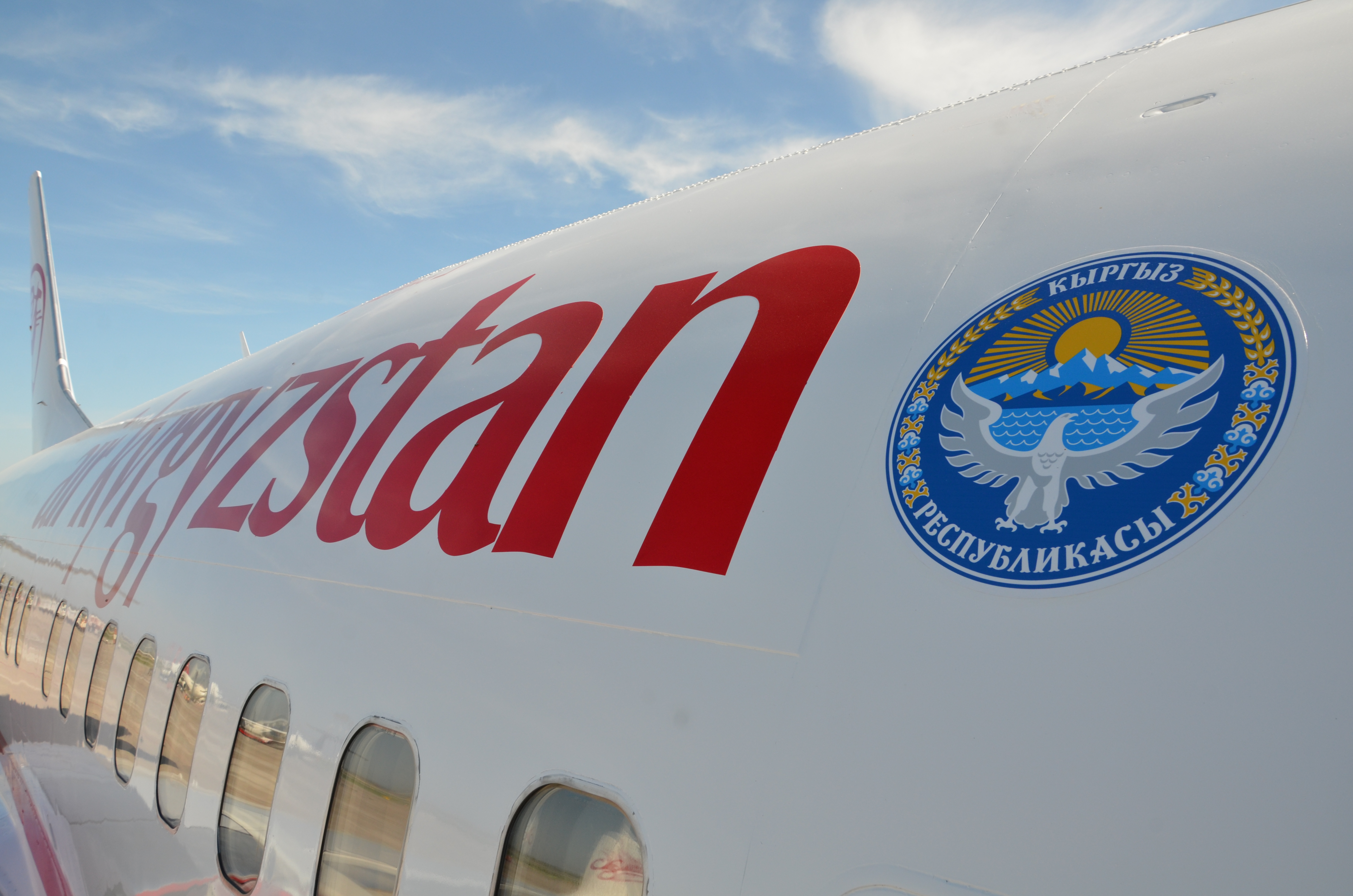
Kyrgyzstan Air Company, operating as Air Kyrgyzstan ( ky, Эйр Кыргызстан Авиакомпаниясы, ''Eýr Kyrgyzstan Aviakompaniýasy''; russian: Авиакомпания «Эйр Кыргызстан», ''Aviakompaniya «Air Kyrgyzstan»''), is the flag carrier of Kyrgyzstan based in Bishkek. It operates scheduled domestic and international services to 13 destinations as well as charter services. Its main hub is Manas International Airport in Bishkek, with a hub at Osh Airport in Osh. The owner of 100% of the shares is the Government of the Kyrgyz Republic represented by the Fund for State Property Management under the Government of the Kyrgyz Republic. The airline along with all airlines based in Kyrgyzstan are on the list of air carriers banned in the European Union. History The airline was founded in April 2001 as Altyn Air. It was rebranded as Kyrgyzstan Air Company on 28 July 2006, after taking over former national carrier Kyrgyzstan Airlines. On D ... [...More Info...] [...Related Items...] OR: [Wikipedia] [Google] [Baidu] |
Kyrgyz Language
Kyrgyz (; autonym: , tr. ''Kyrgyz tili'', ) is a Turkic language of the Kipchak branch spoken in Central Asia. Kyrgyz is the official language of Kyrgyzstan and a significant minority language in the Kizilsu Kyrgyz Autonomous Prefecture in Xinjiang, China and in the Gorno-Badakhshan Autonomous Region of Tajikistan. There is a very high level of mutual intelligibility between Kyrgyz, Kazakh, and Altay. A dialect of Kyrgyz known as Pamiri Kyrgyz is spoken in Afghanistan and Pakistan. Kyrgyz is also spoken by many ethnic Kyrgyz through the former Soviet Union, Afghanistan, Turkey, parts of northern Pakistan, and Russia. Kyrgyz was originally written in Göktürk script, gradually replaced by the Perso-Arabic alphabet (in use until 1928 in the USSR, still in use in China). Between 1928 and 1940 a Latin-script alphabet, the Uniform Turkic Alphabet, was used. In 1940, Soviet authorities replaced the Latin script with the Cyrillic alphabet for all Turkic countries. Whe ... [...More Info...] [...Related Items...] OR: [Wikipedia] [Google] [Baidu] |
Russian Alphabet
The Russian alphabet (russian: ру́сский алфави́т, russkiy alfavit, , label=none, or russian: ру́сская а́збука, russkaya azbuka, label=none, more traditionally) is the script used to write the Russian language. It comes from the Cyrillic script, which was devised in the 9th century for the first Slavic literary language, Old Slavonic. Initially an old variant of the Bulgarian alphabet, it became used in the Kievan Rusʹ since the 10th century to write what would become the Russian language. The modern Russian alphabet consists of 33 letters: twenty consonants (, , , , , , , , , , , , , , , , , , , ), ten vowels (, , , , , , , , , ), a semivowel / consonant (), and two modifier letters or "signs" (, ) that alter pronunciation of a preceding consonant or a following vowel. Letters : An alternative form of the letter El () closely resembles the Greek letter lambda (). Historic letters Letters eliminated in 1917–18 * — Ident ... [...More Info...] [...Related Items...] OR: [Wikipedia] [Google] [Baidu] |
Oblast
An oblast (; ; Cyrillic (in most languages, including Russian and Ukrainian): , Bulgarian: ) is a type of administrative division of Belarus, Bulgaria, Kazakhstan, Kyrgyzstan, Russia, and Ukraine, as well as the Soviet Union and the Kingdom of Yugoslavia. Official terms in successor states of the Soviet Union differ, but some still use a cognate of the Russian term, e.g., ''vobłasć'' (''voblasts'', ''voblasts'', official orthography: , Taraškievica: , ) is used for regions of Belarus, ' (plural: ') for regions of Kazakhstan, and ''oblusu'' (') for regions of Kyrgyzstan. The term is often translated as "area", " zone", "province" or "region". The last translation may lead to confusion, because " raion" may be used for other kinds of administrative division, which may be translated as "region", "district" or "county" depending on the context. Unlike "province", translations as "area", "zone", and "region" may lead to confusion because they have very common meanings ... [...More Info...] [...Related Items...] OR: [Wikipedia] [Google] [Baidu] |
Kyrgyzstan
Kyrgyzstan,, pronounced or the Kyrgyz Republic, is a landlocked country in Central Asia. Kyrgyzstan is bordered by Kazakhstan to the north, Uzbekistan to the west, Tajikistan to the south, and the People's Republic of China to the east. Its capital and largest city is Bishkek. Ethnic Kyrgyz make up the majority of the country's seven million people, followed by significant minorities of Uzbeks and Russians. The Kyrgyz language is closely related to other Turkic languages. Kyrgyzstan's history spans a variety of cultures and empires. Although geographically isolated by its highly mountainous terrain, Kyrgyzstan has been at the crossroads of several great civilizations as part of the Silk Road along with other commercial routes. Inhabited by a succession of tribes and clans, Kyrgyzstan has periodically fallen under larger domination. Turkic nomads, who trace their ancestry to many Turkic states. It was first established as the Yenisei Kyrgyz Khaganate later i ... [...More Info...] [...Related Items...] OR: [Wikipedia] [Google] [Baidu] |
Issyk-Kul Lake
Issyk-Kul (also Ysyk-Köl, ky, Ысык-Көл, lit=warm lake, translit=Ysyk-Köl, , zh, 伊塞克湖) is an endorheic lake (i.e., without outflow) in the Northern Tian Shan mountains in Eastern Kyrgyzstan. It is the seventh-deepest lake in the world, the tenth-largest lake in the world by volume (though not in surface area) and the second-largest saline lake after the Caspian Sea. Issyk-Kul means "warm lake" in the Kyrgyz language; although it is located at a lofty elevation of and subject to severe cold during winter, it never freezes. The lake is a Ramsar site of globally significant biodiversity and forms part of the Issyk-Kul Biosphere Reserve. Geography Issyk-Kul Lake is long, up to wide and its area is . It is the second-largest mountain lake in the world behind Lake Titicaca in South America. It is at an altitude of and reaches in depth. About 118 rivers and streams flow into the lake; the largest are the Jyrgalang and Tüp. It is fed by springs, including man ... [...More Info...] [...Related Items...] OR: [Wikipedia] [Google] [Baidu] |
Tamchy Airport
Issyk-Kul International Airport ( Kyrgyz: Ысык-Көл эл аралык аэропорту, ''Isıq-Köl el aralıq aeroportu'', ىسىق-كۅل ەل ارالىق اەروپورتۇ; Russian: Международный аэропорт «Иссык-Куль», ''Meždunarodnyj aeroport «Issyk-Kulj»'') is an international airport near Tamchy, a village in Issyk Kul District of Issyk Kul Region (''oblast'') of Kyrgyzstan Kyrgyzstan,, pronounced or the Kyrgyz Republic, is a landlocked country in Central Asia. Kyrgyzstan is bordered by Kazakhstan to the north, Uzbekistan to the west, Tajikistan to the south, and the People's Republic of China to the ea .... The Russian IATA code for Issyk-Kul International Airport is ИКУ. Formerly known as Tamchy Airport, Issyk-Kul International Airport started its operations in 1975 as a reserve airport for the nearby Cholpon-Ata Airport. The current runway and terminal were built in 2003. In the same year, the Kyrgyz Gove ... [...More Info...] [...Related Items...] OR: [Wikipedia] [Google] [Baidu] |
Airports In Kyrgyzstan
This is a list of airports in Kyrgyzstan, sorted by location. __TOC__ Airports Airport names shown in bold indicate the airport has scheduled service on commercial airlines. Out of 86 airports, aerodromes and landing strips ever built in Kyrgyzstan, only the ones with functioning runways are listed below. See also * Transport in Kyrgyzstan * List of airports by ICAO code: U#UA - Kazakhstan, Kyrgyzstan * Wikipedia:WikiProject Aviation/Airline destination lists: Asia#Kyrgyzstan References * * – includes IATA codes Great Circle Mapper: Airports in Kyrgyzstannbsp;– IATA and ICAO codes World Aero Data: Kyrgyzstannbsp;– ICAO codes and coordinates {{Asia in topic, List of airports in, state=expanded Kyrgyzstan Airports Airports Kyrgyzstan Kyrgyzstan,, pronounced or the Kyrgyz Republic, is a landlocked country in Central Asia. Kyrgyzstan is bordered by Kazakhstan to the north, Uzbekistan to the west, Tajikistan to the south, and the Peopl ... [...More Info...] [...Related Items...] OR: [Wikipedia] [Google] [Baidu] |
Airports Built In The Soviet Union
An airport is an aerodrome with extended facilities, mostly for commercial air transport. Airports usually consists of a landing area, which comprises an aerially accessible open space including at least one operationally active surface such as a runway for a plane to take off and to land or a helipad, and often includes adjacent utility buildings such as control towers, hangars and terminals, to maintain and monitor aircraft. Larger airports may have airport aprons, taxiway bridges, air traffic control centres, passenger facilities such as restaurants and lounges, and emergency services. In some countries, the US in particular, airports also typically have one or more fixed-base operators, serving general aviation. Operating airports is extremely complicated, with a complex system of aircraft support services, passenger services, and aircraft control services contained within the operation. Thus airports can be major employers, as well as important hubs for tou ... [...More Info...] [...Related Items...] OR: [Wikipedia] [Google] [Baidu] |


