|
Cholmondeston
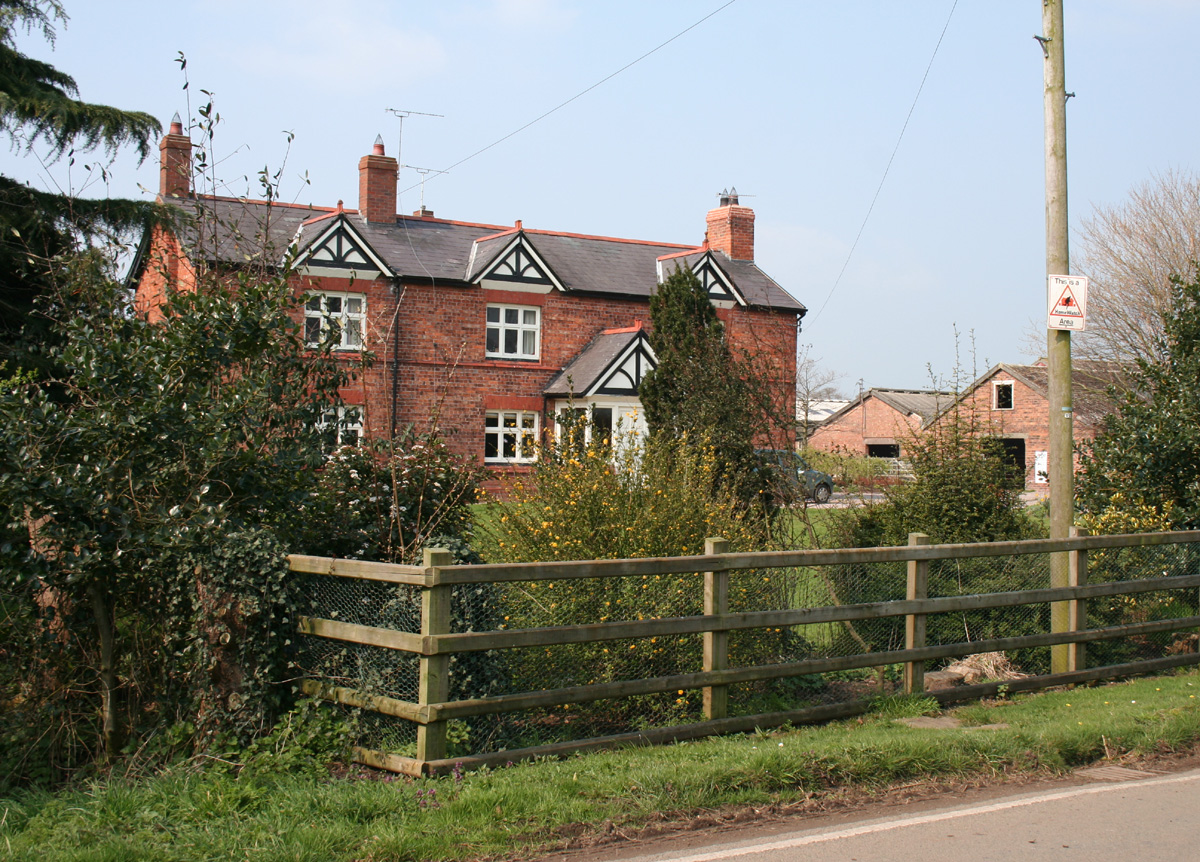
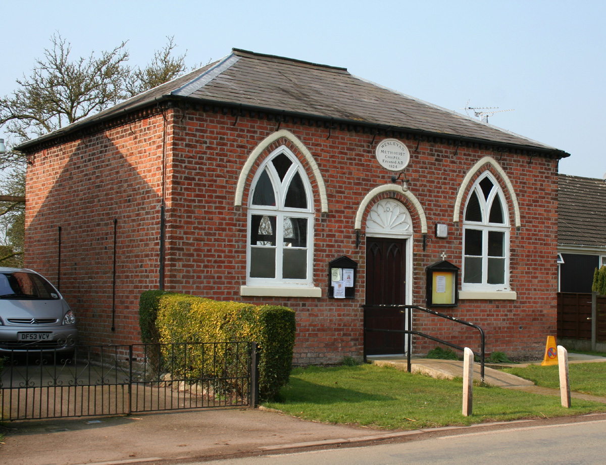
Cholmondeston ( (accessed 31 March 2010)) is a village and in the unitary authority of and the ceremonial county of , England. The village lies to the northwest of . Nearby villages include |
Wettenhall
Wettenhall is a village (at ) and civil parishes in England, civil parish in the unitary authority of Cheshire East and the ceremonial county of Cheshire, England. The village lies 3½ miles to the south west of Winsford and 6 miles to the north west of Crewe. The parish also includes the settlements of Chapel Green and Woodside.Genuki: Wettenhall (accessed 15 August 2007) Nearby villages include Alpraham, Calveley, Cholmondeston, Church Minshull, Little Budworth and Tarporley. According to the 2001 census, the parish had a population of 135, increasing to 192 at the 2011 Census. History The village is listed in the Domesday Book as ''Watenhale'' and was held by Gilbert de Venables. In the Norman era, Wettenhall was within the Forests of Mara and Mondrem (now Delamere Forest) and in the mid-14th century w ...[...More Info...] [...Related Items...] OR: [Wikipedia] [Google] [Baidu] |
Middlewich Branch
The Middlewich Branch of the Shropshire Union Canal is located in Cheshire, in the north west of England, and runs between Middlewich, where it joins the Trent and Mersey Canal, and Barbridge Junction, where it joins the main line of the Shropshire Union Canal. It is long, and was planned as part of the Chester Canal, which was authorised in 1772, but the company ran out of money, and construction did not begin until 1827. The Trent and Mersey insisted that there should be no direct connection at Middlewich, and instead built the short Wardle Canal to join the two, charging large compensation tolls for traffic passing along it. The canal became part of the Shropshire Union system in 1846, which was taken over by the London and North Western Railway within a year. Traffic on the branch was always limited by the compensation tolls, and it was not until 1888 that they were abolished. The canal was the location for trials with locomotive haulage of boats in 1888, using a narrow-g ... [...More Info...] [...Related Items...] OR: [Wikipedia] [Google] [Baidu] |
Calveley
Calveley is a village and civil parish in the unitary authority of Cheshire East and the ceremonial county of Cheshire, England. The village lies 5½ miles to the north west of Nantwich. The parish also includes parts of the settlements of Barrets Green and Wardle Bank. The total population is 280 people. The area is largely agricultural and includes a short stretch of the Shropshire Union Canal. There is an Anglican parish church, a primary school and a public house. Nearby villages include Alpraham, Bunbury, Haughton and Wardle. History Watfield Pavement, a stone road believed to have originally formed part of a Roman road from Chester to Chesterton in Staffordshire, passed through the parish. Originally held by the de Calveleys, the manor passed by marriage to the Davenport family in 1369.Gastrell 1845, p. 218 Their seat was at Calveley Hall. John Wesley is supposed to have visited the hall in 1749.Cheshire Federation of Women's Institutes 1990, pp. 16–17 The origin ... [...More Info...] [...Related Items...] OR: [Wikipedia] [Google] [Baidu] |
Cheshire East
Cheshire East is a unitary authority area with borough status in the ceremonial county of Cheshire, England. The local authority is Cheshire East Council. Towns within the area include Crewe, Macclesfield, Congleton, Sandbach, Wilmslow, Handforth, Knutsford, Poynton, Bollington, Alsager and Nantwich. The council is based in the town of Sandbach. History The borough council was established in April 2009 as part of the 2009 structural changes to local government in England, by virtue of an order under the Local Government and Public Involvement in Health Act 2007. It is an amalgamation of the former boroughs of Macclesfield, Congleton and Crewe and Nantwich, and includes the functions of the former Cheshire County Council. The residual part of the disaggregated former County Council, together with the other three former Cheshire borough councils (Chester City, Ellesmere Port & Neston and Vale Royal) were, similarly, amalgamated to create the new unitary council of Ches ... [...More Info...] [...Related Items...] OR: [Wikipedia] [Google] [Baidu] |
Poole, Cheshire
Poole is a civil parish in the unitary authority of Cheshire East and the ceremonial county of Cheshire, England, which lies to the north west of Nantwich and to the west of Crewe. The Shropshire Union Canal runs through the parish. Nearby villages include Acton, Aston juxta Mondrum, Barbridge, Stoke Bank, Rease Heath and Worleston. The civil parish is largely rural with scattered farms and buildings, and a total population of around 90 in 2006. At the time of the 2011 Census the population of the civil parish remained less than 100. Details are included in the civil parish of Worleston. History Poole was a late Saxon village; the name derives from the Saxon ''Pol'', meaning a pool. Two holdings were recorded in the Domesday survey of 1086, with a total population of 9, greater than any of the surrounding manors except Acton. A coppice or small wood was recorded. Before the Norman Conquest, it was held by Wulfeva, described as "a free woman", and afterwards by William M ... [...More Info...] [...Related Items...] OR: [Wikipedia] [Google] [Baidu] |
Acton, Cheshire (ancient Parish)
Acton was an ancient parish in the Nantwich Hundred of Cheshire, England. At one time it included the townships of Acton, Aston juxta Mondrum, Austerson, Baddington, Brindley, Burland, Cholmondeston, Edleston, Faddiley, Henhull, Hurleston, Poole, Stoke, Worleston, most of Coole Pilate, parts of Dodcott cum Wilkesley, Newhall and Sound, and possibly all or part of Baddiley.Dunn FI. ''The Ancient Parishes, Townships and Chapelries of Cheshire'' ( Cheshire Record Office and Cheshire Diocesan Record Office; 1987) ()Latham FA, ed. ''Acton'', p. 9, (The Local History Group; 1995) () It also contained the chapelries of Church Minshull, Nantwich and Wrenbury. By around 1870, the townships and chapelries of Baddiley, Church Minshull, Dodcott cum Wilkesley, Nantwich, Newhall, Sound and Wrenbury had been lost from Acton; the total area of the ancient parish was then 15,542 acres (6,290 hectares), with a population of 3,125.Wilson JM. ''Imperial Gazetteer of England and Wale ... [...More Info...] [...Related Items...] OR: [Wikipedia] [Google] [Baidu] |
Ancient Parishes Of Cheshire
The ancient parishes of Cheshire refers to the group of parishes that existed in the English county of Cheshire, roughly within the period of 1200–1800.Dunn, F. I. (1987). page 5. Initially, the ancient parishes had only an ecclesiastical function, but reforms initiated by King Henry VIII, developed by Queen Elizabeth I and expanded by later legislation led them to acquire various secular functions that eventually led to a split between the ecclesiastical parishes and the purely civil parishes that exist today. Ancient parish overall details The data are in the form of two tables: the first one gives information about each ancient parish whilst the second one gives information about each chapelry that may exist within each ancient parish. This complexity is brought about by having ancient parishes which, after the dissolution of the monasteries in the sixteenth century, possessed in some form or another both an ecclesiastical role and a civil role. This dual role existed until th ... [...More Info...] [...Related Items...] OR: [Wikipedia] [Google] [Baidu] |
Forest Of Mondrem
The Forests of Mara and Mondrem were adjacent Middle Ages, medieval forests in Cheshire, England, which in the 11th century extended to over , stretching from the River Mersey, Mersey in the north almost to Nantwich in the south, and from the River Gowy, Gowy in the west to the River Weaver, Weaver in the east. Mara and Mondrem were a royal forest, hunting forest of the Normans, Norman Earl of Chester, Earls of Chester, established soon after 1071 by the first earl, Hugh d'Avranches, 1st Earl of Chester, Hugh d'Avranches. They might earlier have been an Anglo-Saxons, Anglo-Saxon hunting forest. Game included wild boar, and Red deer, red, Fallow deer, fallow and Roe deer, roe deer. After the earldom lapsed in 1237, the forest rights passed to the Crown, with the monarch's heir being given the title of Earl of Chester. Edward I of England, Edward I and James I of England, James I both hunted in the forests. Clearance for agricultural use began to be permitted after 1215, and by the ... [...More Info...] [...Related Items...] OR: [Wikipedia] [Google] [Baidu] |
Crewe And Nantwich
Crewe and Nantwich was, from 1974 to 2009, a local government district with borough status in Cheshire, England. It had a population (2001 census) of 111,007. It contained 69 civil parishes and one unparished area: the town of Crewe. It now forms part of the unitary authority of Cheshire East. History The Borough of Crewe and Nantwich was created on 1 April 1974 under the Local Government Act 1972 by the merger of the borough of Crewe (an industrial town), the urban district of Nantwich (a smaller market town), and Nantwich Rural District. The new district was proposed to be called just "Crewe", but the shadow authority elected in 1973 to oversee the transition to the new system successfully petitioned the government to change the name to "Crewe and Nantwich" before the district came into being. The new district was awarded borough status from its creation, allowing the chairman of the council to take the title of mayor. In 2006 the Department for Communities and Local Gov ... [...More Info...] [...Related Items...] OR: [Wikipedia] [Google] [Baidu] |
Stoke, Crewe And Nantwich
Stoke is a civil parish in the unitary authority of Cheshire East and the ceremonial county of Cheshire, England. The parish is predominantly rural with a total population of around 200, measured with the inclusion of Hurleston at 324 in the 2011 Census. The largest settlement is Barbridge (at ), which lies 3½ miles to the north west of Nantwich. The parish also includes the small settlements of Stoke Bank () and Verona ().Genuki: Stoke (accessed 28 January 2009) Nearby villages include , , |
Forest Court
A royal forest, occasionally known as a kingswood (), is an area of land with different definitions in England, Wales, Scotland and Ireland. The term ''forest'' in the ordinary modern understanding refers to an area of wooded land; however, the original medieval sense was closer to the modern idea of a "preserve" – i.e. land legally set aside for specific purposes such as royal hunting – with less emphasis on its composition. There are also differing and contextual interpretations in Continental Europe derived from the Carolingian and Merovingian legal systems. In Anglo-Saxon England, though the kings were great huntsmen, they never set aside areas declared to be "outside" (Latin ''foris'') the law of the land.H. R. Loyn, ''Anglo-Saxon England and the Norman Conquest'' 2nd ed. 1991:378-82. Historians find no evidence of the Anglo-Saxon monarchs (c. 500 to 1066) creating forests. However, under the Norman kings (after 1066), by royal prerogative forest law was widely applied ... [...More Info...] [...Related Items...] OR: [Wikipedia] [Google] [Baidu] |
John Wesley
John Wesley (; 2 March 1791) was an English cleric, theologian, and evangelist who was a leader of a revival movement within the Church of England known as Methodism. The societies he founded became the dominant form of the independent Methodist movement that continues to this day. Educated at Charterhouse and Christ Church, Oxford, Wesley was elected a fellow of Lincoln College, Oxford, in 1726 and ordained as an Anglican priest two years later. At Oxford, he led the " Holy Club", a society formed for the purpose of the study and the pursuit of a devout Christian life; it had been founded by his brother Charles and counted George Whitefield among its members. After an unsuccessful ministry of two years, serving at Christ Church, in the Georgia colony of Savannah, he returned to London and joined a religious society led by Moravian Christians. On 24 May 1738, he experienced what has come to be called his evangelical conversion, when he felt his "heart strangely wa ... [...More Info...] [...Related Items...] OR: [Wikipedia] [Google] [Baidu] |


.jpg)

