|
Cheetham Town Hall
Cheetham Town Hall is a former municipal building in Cheetham Hill Road, Cheetham, Manchester, England. The structure, which now operates as a restaurant, is a Grade II listed building. History The building was commissioned as a town hall for the township of Cheetham in the mid-19th century. It was designed by Thomas Bird in the Italianate style, built in red brick with stone dressings and was officially opened on 5 January 1855. The design involved a symmetrical main frontage of five bays facing onto Cheetham Hill Road. The building also included recessed side wings of two bays each which were lower than the main frontage. The central section of three bays, which was slightly projected forward, featured a doorway with a fanlight flanked by pilasters supporting an entablature with triglyphs. In front of the central section, there was a porte-cochère with iron columns supporting a glazed roof decorated by iron openwork and finials. The other bays on the ground floor were fenest ... [...More Info...] [...Related Items...] OR: [Wikipedia] [Google] [Baidu] |
Cheetham Hill Road
Cheetham Hill Road is a road in north Manchester, England, running from Corporation Street in Manchester city centre, through Cheetham to Prestwich. In Crumpsall, its name changes to Bury Old Road. Route Cheetham Hill Road and Bury Old Road are part of the designated A665. Cheetham Hill Road starts at the junction of the A6042 Corporation Street and the A665 Miller Street. It crosses the culverted River Irk to the east of Victoria Station. At its junction with New Bridge Street, it turns north-northeast and is straight for 1 km, to the A6010 Queen's Road (east side). This stretch was called York Street until about 1900. Cheetham Hill Road leads from here to the community of Cheetham Hill, where at Bourget Street and Crescent Road (formerly Sandy Lane), Cheetham Hill Road becomes Bury Old Road. This is the boundary between Manchester and Salford, and between postcodes M8 and M7. To the north-west is Crumpsall and to the south-east is Broughton Park. It crosses the A567 ... [...More Info...] [...Related Items...] OR: [Wikipedia] [Google] [Baidu] |
Parapet
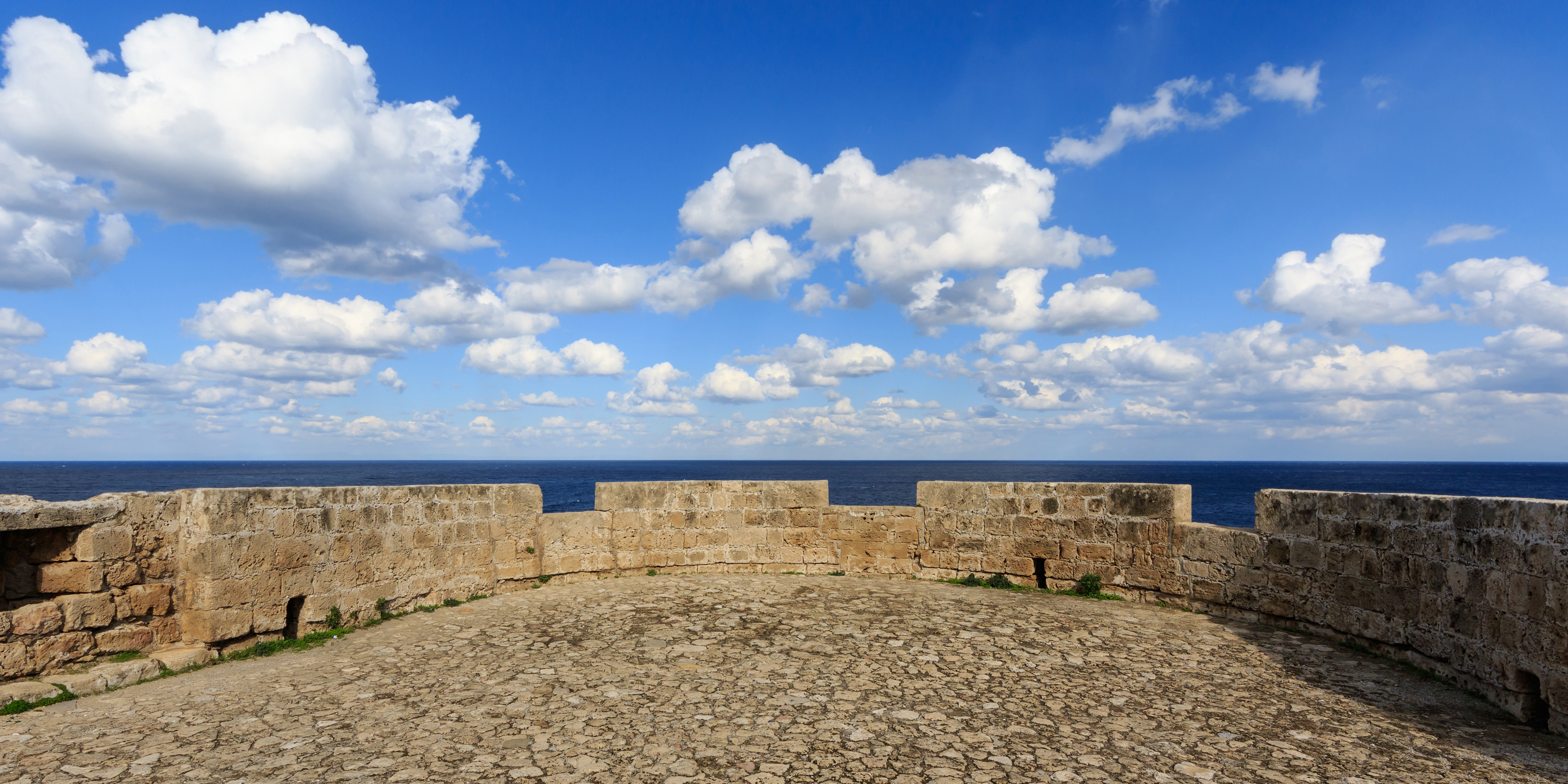
A parapet is a barrier that is an upward extension of a wall at the edge of a roof, terrace, balcony, walkway or other structure. The word comes ultimately from the Italian ''parapetto'' (''parare'' 'to cover/defend' and ''petto'' 'chest/breast'). Where extending above a roof, a parapet may simply be the portion of an exterior wall that continues above the edge line of the roof surface, or may be a continuation of a vertical feature beneath the roof such as a fire wall or party wall. Parapets were originally used to defend buildings from military attack, but today they are primarily used as guard rails, to conceal rooftop equipment, reduce wind loads on the roof, and to prevent the spread of fires. Parapet types Parapets may be plain, embattled, perforated or panelled, which are not mutually exclusive terms. *Plain parapets are upward extensions of the wall, sometimes with a coping at the top and corbel below. *Embattled parapets may be panelled, but are pierced, if not ... [...More Info...] [...Related Items...] OR: [Wikipedia] [Google] [Baidu] |
Government Buildings Completed In 1855
A government is the system or group of people governing an organized community, generally a state. In the case of its broad associative definition, government normally consists of legislature, executive, and judiciary. Government is a means by which organizational policies are enforced, as well as a mechanism for determining policy. In many countries, the government has a kind of constitution, a statement of its governing principles and philosophy. While all types of organizations have governance, the term ''government'' is often used more specifically to refer to the approximately 200 independent national governments and subsidiary organizations. The main types of modern political systems recognized are democracies, totalitarian regimes, and, sitting between these two, authoritarian regimes with a variety of hybrid regimes. Modern classification systems also include monarchies as a standalone entity or as a hybrid system of the main three. Historically prevalent forms ... [...More Info...] [...Related Items...] OR: [Wikipedia] [Google] [Baidu] |
Listed Buildings In Manchester-M8
Manchester is a city in Northwest England. The M postcode area, M8 postcode area is to the north of the city centre, and contains the districts of Cheetham Hill and Crumpsall. This postcode area contains 21 Listed building#England and Wales, listed buildings that are recorded in the National Heritage List for England. Of these, two are listed at Grade II*, the middle of the three grades, and the others are at Grade II, the lowest grade. The area is residential, and the listed buildings include churches and associated structures, houses, former civic buildings, two museums, a bandstand, a park shelter, a former billiard hall, and two war memorials.__NOTOC__ Key Buildings References Citations Sources * * * * * * * * * * * * * * * * * * * * * * * {{DEFAULTSORT:Manchester-M8 Lists of listed buildings in Greater Manchester Buildings and structures in Manchester ... [...More Info...] [...Related Items...] OR: [Wikipedia] [Google] [Baidu] |


