|
Caton-with-Littledale
The civil parish of Caton-with-Littledale is situated in Lancashire, England, near the River Lune. The parish lies within the Forest of Bowland Area of Outstanding Natural Beauty and contains the villages of Caton, Brookhouse, Caton Green, Littledale and Townend. History The original settlement of Caton was renamed Brookhouse after Brookhouse Hall and is separated from modern Caton, originally Town End, by Artle Beck. Evidence of the Roman occupation in the area is from a mill stone, eight feet long found in Artle Beck in 1803, bearing the name of the Emperor Hadrian; and further engraved stone found some time later. Archaeological, place name and other evidence attests that Norse invaders settled in the area in the tenth century (Wainwright 1975). Caton is supposedly named from the Norse personal name ''Kati'' (Ekwall 1960), meaning 'cheerful' and ''ton''. Geoffrey Hodgson (2008) argues that the Viking invasion of the area accounts for the relatively high frequency of the Hod ... [...More Info...] [...Related Items...] OR: [Wikipedia] [Google] [Baidu] |
Forest Of Bowland
The Forest of Bowland, also known as the Bowland Fells and formerly the Chase of Bowland, is an area of gritstone fells, deep valleys and peat moorland, mostly in north-east Lancashire, England, with a small part in North Yorkshire (however roughly half of the area falls into the area of the historic West Riding of Yorkshire). It is a western outlier of the Pennines. The Forest of Bowland was designated an Area of Outstanding Natural Beauty (AONB) in 1964. The AONB also includes a detached part known as the Forest of Pendle separated from the main part by the River Ribble, Ribble Valley, and anciently a royal forest with its own separate history. One of the best-known features of the area is Pendle Hill, which lies in Pendle Forest. There are more than 500 listed buildings and 18 scheduled monuments within the AONB. The Trough of Bowland is a pass connecting the valley of the River Wyre, Marshaw Wyre with that of Langden Brook, and dividing the upland core of Bowland into two ... [...More Info...] [...Related Items...] OR: [Wikipedia] [Google] [Baidu] |
City Of Lancaster
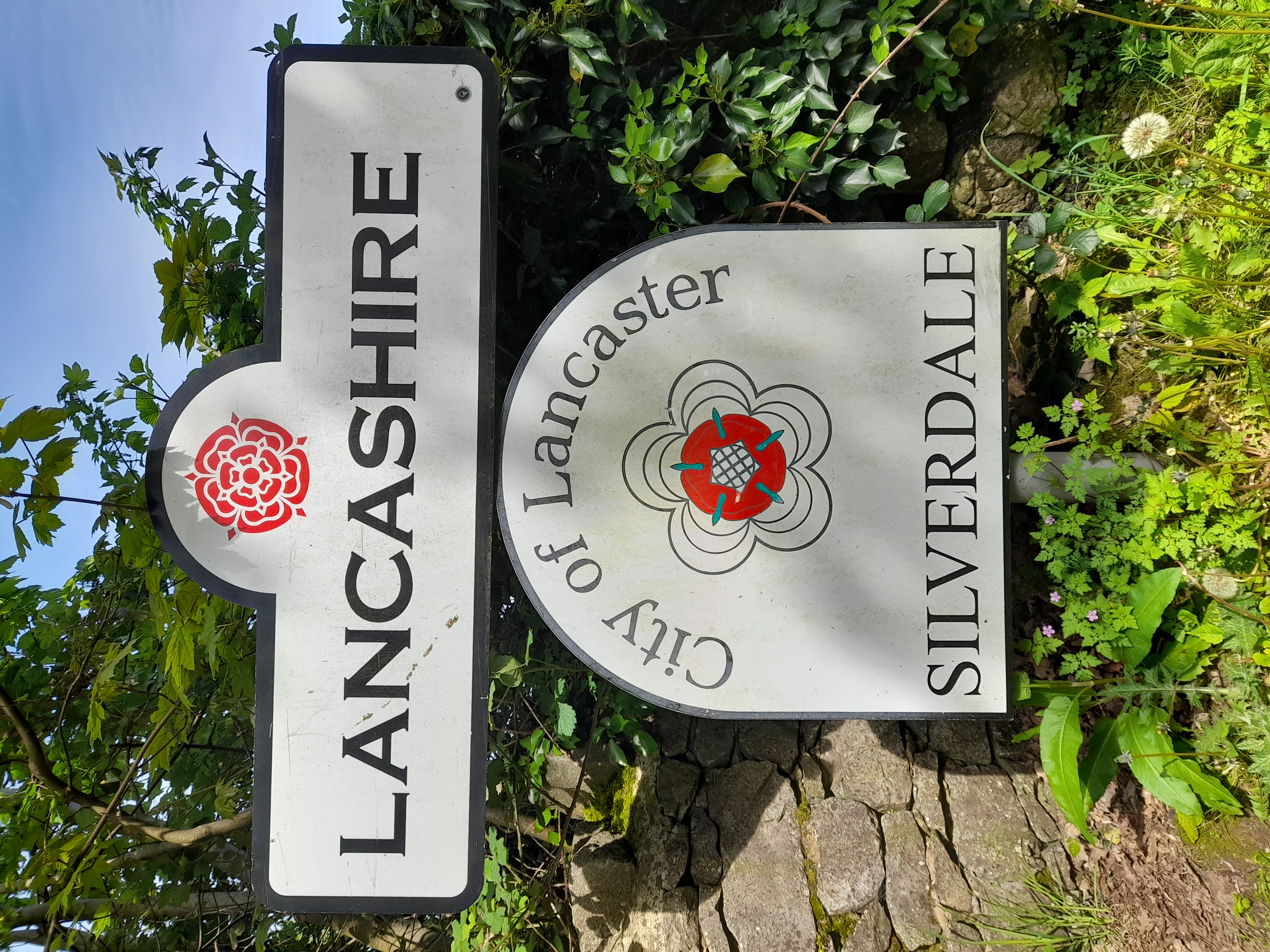
The City of Lancaster, or simply ''Lancaster'' (), is a non-metropolitan district, local government district with City status in the United Kingdom, city status in Lancashire, England. It is named after its largest settlement, Lancaster, Lancashire, Lancaster, and also includes the towns of Carnforth, Heysham and Morecambe and a wider rural hinterland. The district has a population of (), and an area of . Much of the district's rural area is recognised for its natural beauty; it includes part of the Yorkshire Dales National Park and parts of the designated Area of Outstanding Natural Beauty, Areas of Outstanding Natural Beauty of Arnside and Silverdale and the Forest of Bowland. The neighbouring districts are Westmorland and Furness, North Yorkshire (district), North Yorkshire, Ribble Valley and Borough of Wyre, Wyre. History The town of Lancaster was an ancient borough, with its earliest known charter dating from 1193. A later charter in 1337 gave it the right to appoint a m ... [...More Info...] [...Related Items...] OR: [Wikipedia] [Google] [Baidu] |
Lancaster, Lancashire
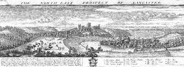
Lancaster (, ) is a city in Lancashire, England, and the main cultural hub, economic and commercial centre of City of Lancaster district. The city is on the River Lune, directly inland from Morecambe Bay. Lancaster is the county town, although Lancashire County Council has been based at County Hall, Preston, County Hall in Preston, Lancashire, Preston since its formation in 1889. The city's long history is marked by Lancaster Roman Fort, Lancaster Castle, Lancaster Priory, Lancaster Priory Church, Lancaster Cathedral and the Ashton Memorial. It is the seat of Lancaster University and has a campus of the University of Cumbria. It had a population of 52,234 in the 2011 census, compared to the district, which had a population of 138,375. The House of Lancaster was a branch of the List of English monarchs, English royal family. The Duchy of Lancaster still holds large estates on behalf of Charles III, who is the Duke of Lancaster. The Port of Lancaster and the 18th-century Lancas ... [...More Info...] [...Related Items...] OR: [Wikipedia] [Google] [Baidu] |
Clougha Pike
Clougha Pike ( ) is a hill in the Forest of Bowland in Lancashire, England. From the west it looms over the Conder Valley, the city of Lancaster and Lancaster University. It is visible from as far away as Barrow-in-Furness, South Lakeland mountains such as the Old Man of Coniston, and Blackpool Tower. From the west, it appears to be a large dome shape, with a cliff-like section at the very top. From the south-west, a series of notches or cloughs are visible in its flanks, giving the hill its distinctive name. The notches vary in size and run across the side of the hillside, but not down it. The largest notch has had part of its floor filled in by a small lake and swamp and is a dramatic gritstone boulder-strewn feature. These notches are thought to have been cut by meltwater flowing south-west from the area of Littledale, along the side of a glacier which occupied the Quernmore valley. They are known as marginal notch channels and are among the best examples of these features i ... [...More Info...] [...Related Items...] OR: [Wikipedia] [Google] [Baidu] |
Lonsdale (hundred)
The Lonsdale Hundred is a historic hundred of Lancashire, England. Although named after the dale or valley of the River Lune, which runs through the city of Lancaster, for centuries it covered most of the north-western part of Lancashire around Morecambe Bay, including the detached parts of Furness and the Cartmel Peninsula. Ironically, only some of the detached part of North Lonsdale still remains partly within a British parliamentary constituency under the name of Lonsdale, being part of the Westmorland and Lonsdale constituency. Lonsdale was not recorded as a hundred in the Domesday Book of 1086, but the name does appear, in the returns for Yorkshire, apparently as a manor attached to Cockerham. A number of places within the Lune's watershed are traditionally named with specification of 'in Lonsdale': Kirkby Lonsdale, Burton-in-Lonsdale, and Thornton-in-Lonsdale retain the name, while Middleton, Sedbergh, Ingleton and Newby, near Clapham have previously been recorde ... [...More Info...] [...Related Items...] OR: [Wikipedia] [Google] [Baidu] |
Caton Former Station Geograph-3103392-by-Ben-Brooksbank
Caton may refer to: Places * Caton, Devon, England, UK; a location * Caton, Lancashire, England, UK; a village *Caton, New York, USA; a town * Caton, Tennessee, USA; an unincorporated community Other * Caton (surname) *Caton Theodorian Caton Theodorian, or Teodorian (May 14, 1871 – January 8, 1939), was a Romanian playwright, poet, short story writer and novelist. A maternal nephew of the politician Eugeniu Carada, he was, through his Oltenian father, a scion of the boyar no ... (1871–1939), Romanian playwright * French ship ''Caton'' (1777), later HMS ''Caton'' See also * ''including further people with the surname'' * {{Disambiguation, geo ... [...More Info...] [...Related Items...] OR: [Wikipedia] [Google] [Baidu] |
Lancaster Green Ayre Railway Station
Lancaster Green Ayre railway station was the Midland Railway's station in the city of Lancaster in England. The line between Green Ayre and Morecambe was used for pioneering experimental electrification via overhead wires. The station closed to passengers in 1966 and there are no remains. History Lancaster's first two stations were the Lancaster and Preston Junction Railway's at ''Greaves'' in 1840, and the Lancaster and Carlisle Railway's ''Lancaster Castle'' which superseded it in 1846.Bairstow, p. 96 The third station was opened by the Morecambe Harbour and Railway Company (MH&R) on 12 June 1848.Vinter, p. 129 The station building was designed by Edmund Sharpe. Originally called ''Lancaster'', it was soon renamed ''Lancaster Green Ayre'', although timetables incorrectly listed its name as Lancaster Green Area until 1870. The line originally ran from Lancaster to . The MH&R soon amalgamated with the "little" North Western Railway, which continued the line eastward from ... [...More Info...] [...Related Items...] OR: [Wikipedia] [Google] [Baidu] |
Wennington Railway Station
Wennington is a railway station on the Bentham Line, which runs between and via . The station, situated east of Lancaster, serves the village of Wennington in Lancashire. It is owned by Network Rail and managed by Northern Trains. History Originally opened by the "Little" North Western Railway in 1849 on their line between and , the station was rebuilt and expanded in 1865 prior to the opening of the Furness and Midland Joint Railway from in 1867. Thereafter it became a busy junction, with many passenger trains calling to detach through carriages for Carnforth from the main Morecambe portion if heading west or attaching them if heading east - a bay platform was provided at the east end of the station for this purpose, along with several sidings on the opposite side of the line for locomotive and carriage stabling (all since removed, along with the extra platform line). A number of local services (mainly from the Carnforth line) also originated or terminated there. Much o ... [...More Info...] [...Related Items...] OR: [Wikipedia] [Google] [Baidu] |
"Little" North Western Railway
The North Western Railway (NWR) was an early British railway company in the north-west of England. It was commonly known as the "Little" North Western Railway, to distinguish it from the larger London and North Western Railway (LNWR). The was first leased, and later taken over, by the Midland Railway (MR). The used part of the line for its London to Scotland Settle and Carlisle main line. The main line, which ran from Skipton in the West Riding of Yorkshire to Morecambe on the Lancashire coast, gave the access to the west coast in an area dominated by the rival . Part of the line, between Lancaster and Morecambe, was used in the early twentieth century for pioneering overhead electrification. Two-thirds of the line, in North Yorkshire, is still in use today, mainly for local services. Of the dismantled Lancashire section, two-thirds has been reused as a combined cyclepath and footpath. Formation The North Western Railway was incorporated by the ( 9 & 10 Vict. c. xcii) ... [...More Info...] [...Related Items...] OR: [Wikipedia] [Google] [Baidu] |
Caton Railway Station
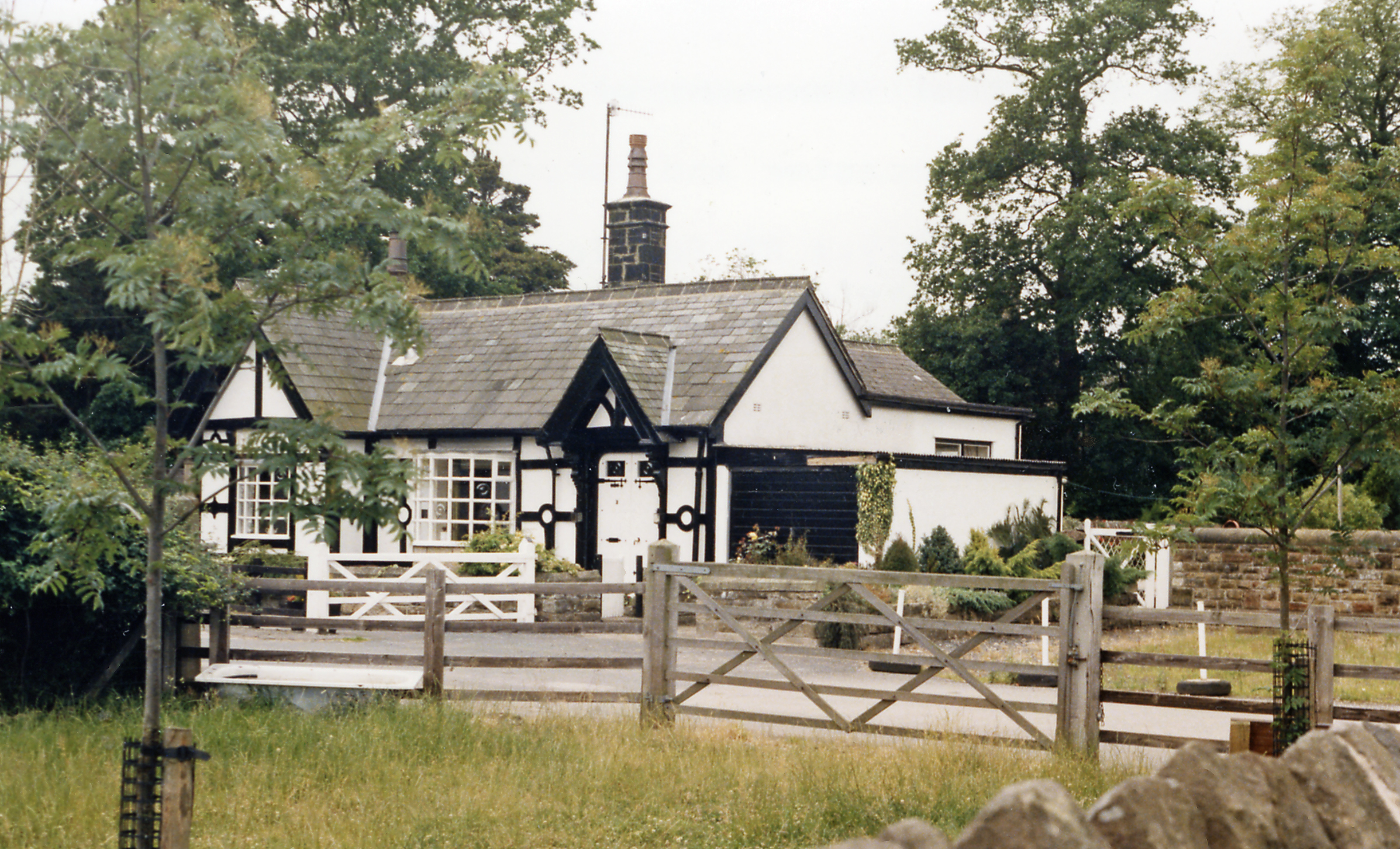
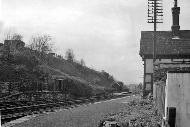
Caton railway station served the village of Caton in the City of Lancaster district of Lancashire, England. The station was located near Ball Lane and Station Road, with the latter crossing the railway on the level immediately to the east. It opened with the line in November 1849, being built by the "Little" North Western Railway. The route was initially constructed as single track, with a passing loop here - the Lancaster to Hornby stretch eventually being doubled by the Midland Railway in 1889. The station was closed in May 1961 by the British Railways Board as an economy measure,Marshall, J (1981) ''Forgotten Railways North-West England'', David & Charles (Publishers) Ltd, ; p.158 though the line remained in use until closure to passengers in 1966 between Wennington and Morecambe. Freight services finished the following year in 1967 and the track was subsequently dismantled. The line has since been converted into a footpath and cycleway westwards towards Lancaster, ... [...More Info...] [...Related Items...] OR: [Wikipedia] [Google] [Baidu] |
M6 Motorway
The M6 motorway is the longest motorway in the United Kingdom. It is located entirely within England, running for just over from the Midlands to the border with Scotland. It begins at Junction 19 of the M1 motorway, M1 and the western end of the A14 road (England), A14 at the Catthorpe Interchange, near Rugby, Warwickshire, Rugby before heading north-west. It passes Coventry, Birmingham, Wolverhampton, Stoke-on-Trent, Preston, Lancashire, Preston, Lancaster, Lancashire, Lancaster and Carlisle, Cumbria, Carlisle and runs between Manchester and Liverpool before terminating at Junction 45 near Gretna, Scotland, Gretna. Here, just short of the Scottish border it becomes the A74(M) and M74 motorways, A74(M) which continues to Glasgow as the M74. Its busiest sections are between junctions 4 and 10a in the West Midlands, and junctions 16 to 19 in Cheshire; these sections have now been converted to Active traffic management, smart motorways. It incorporated the Preston By-pass, the fi ... [...More Info...] [...Related Items...] OR: [Wikipedia] [Google] [Baidu] |
Kirkby Lonsdale
Kirkby Lonsdale () is a town and civil parish in the Westmorland and Furness district of Cumbria, England, on the River Lune. Historically in Westmorland, it lies south-east of Kendal on the A65. The parish recorded a population of 1,771 in the 2001 census, increasing to 1,843 at the 2011 Census. Notable buildings include St Mary's Church, a Norman building with fine carved columns. The view of the River Lune from the churchyard is known as Ruskin's View after John Ruskin, who called it one of the loveliest in England. It was painted by J. M. W. Turner. Governance Kirkby Lonsdale is in the Morecambe and Lunesdale parliamentary constituency; Lizzi Collinge of the Labour Party was elected as its Member of Parliament at the 2024 general election. In local government the town is within Westmorland and Furness. Until 2023 it was in the Kirkby Lonsdale ward of South Lakeland District Council and the Sedbergh & Kirkby Lonsdale Division of Cumbria County Council. It has ... [...More Info...] [...Related Items...] OR: [Wikipedia] [Google] [Baidu] |


